Geospatial Technologies - use case
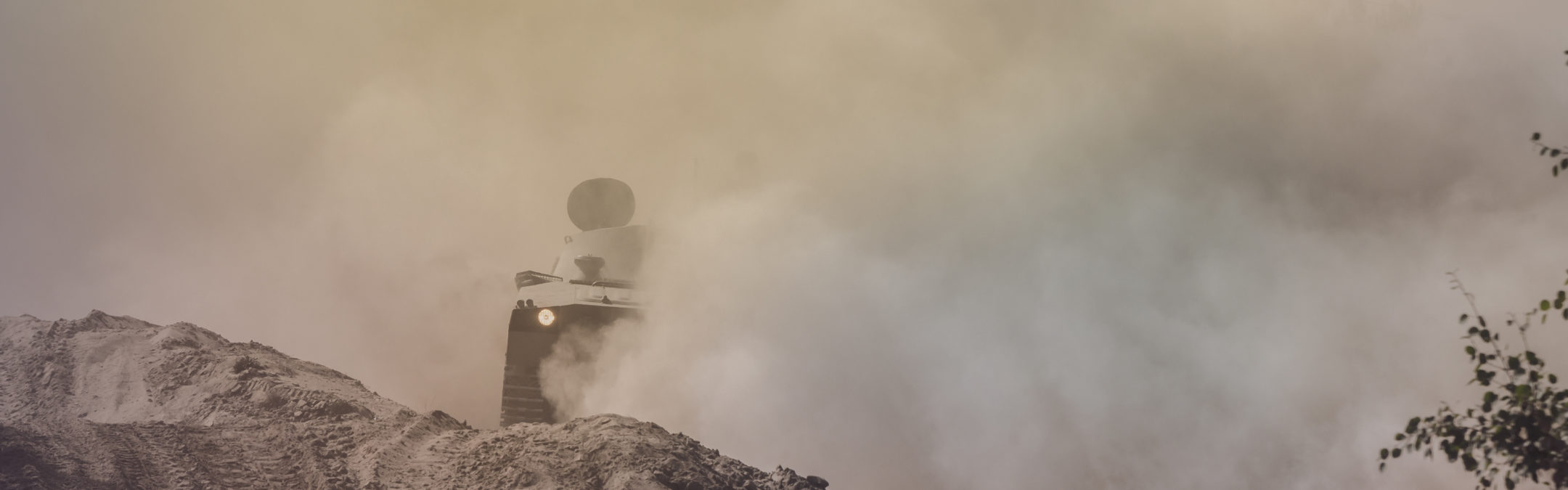
Self-driving military vehicles
Carmenta’s geospatial technology provides the defence industry with the ability to plan how self-driving military vehicles can move across terrain. By combining 3D technology with information from radar and sensors, Carmenta’s technology not only provides a detailed picture of the surroundings, it also analyses how a mission will be affected by the environment in the future. With our visibility function, for example, it is possible to calculate exactly when a vehicle will become visible to enemy forces. Another type of analysis included in Carmenta’s basic technology is route calculation for off-road vehicles. This includes both routes based on the road network, and routes calculated according to the nature of the terrain.