Carmenta_GT_UAS_1410x868

Carmenta Engine - use case

Taking UAS intelligence to a higher level

Carmenta Engine is a powerful situational-awareness platform for designers of UAS applications. Integrated into your system, Carmenta Engine brings a higher level of intelligence to both remotely controlled and fully autonomous drone missions.

A long-trusted technology partner for the military with a proven track record in air-force operations, Carmenta supports UAS applications with a fully integrated platform for visualising and analysing geospatial information in real time.

The platform, Carmenta Engine, gives operators of ground control stations (GCS) superior situational awareness. Key to ensuring the success of your drone missions, situational-awareness technology is also the cornerstone of many routing applications for autonomous drones.

Open and flexible, Carmenta geospatial technology is designed to be fully integrated with your existing applications. Or it can serve as the core of any geospatial web service environment, with standardised interfaces that make it easy to connect to map servers.

At Carmenta, we believe we have only scratched the surface of what can be achieved with real-time analysis combining 3D map data with sensor information. As your geospatial partner for mission-critical operations, we see endless possibilities to deliver higher intelligence for better operational decision making – in even the most complex UAS missions.

CUSTOMER CASE

Carmenta is proud to support UMS Skeldar as their geospatial technology partner. Since 2016, Carmenta Engine has been a core part of the UMS Skeldar Ground Control Station, where features such as a dynamically updated terrain profile ensure that the drone operator is always fully aware of the surrounding area.

The Carmenta Engine support for MIL-STD-2525 symbology is used to identify military entities on a map, whilst the ability to connect directly to a wide range of data sources ensures that the most up-to-date and high resolution information can be used to plan and execute any mission.

Beyond these functionalities, Carmenta also developed a map management tool for UMS Skeldar to enable the simple addition of new geospatial data to the Ground Control Station. Carmenta also assists UMS Skeldar in finding suitable map data for demonstration purposes and operational use.

David Willems, VP Business Development and Strategy for UMS Skeldar: “At UMS Skeldar, we are impressed and satisfied with our relationship with Carmenta. Thanks to their expertise and professionalism within the geospatial domain, Carmenta Engine has taken our Ground Control Station to the next level”.

WHY CARMENTA TECHNOLOGY IS THE SMART CHOICE FOR YOUR UAS MISSIONS

Calculate the ideal route for your drones

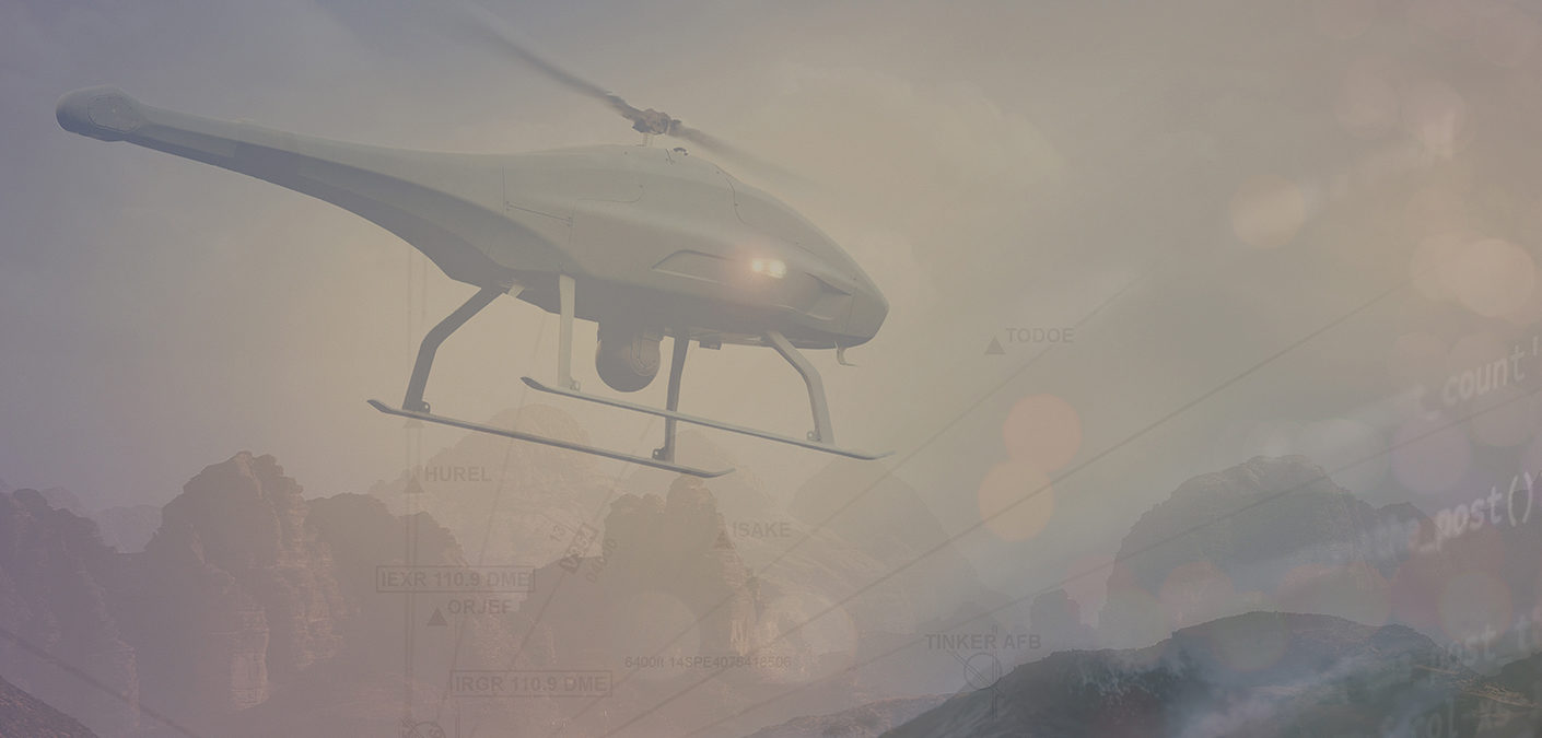
Your Carmenta Engine-powered system takes into account restrictions such as altitudes, no-fly zones and obstacles like buildings and electrical wires. Autonomous drones will automatically re-route to avoid danger, and operators of remotely controlled drones will be able to adapt the flight route as conditions change, keeping the drone out of sight of enemy observers.

Monitor a complete area with pinpoint accuracy

Carmenta Engine makes it easy to calculate the most efficient flight pattern over the target area and control the drone’s sensors to ensure every inch of ground is covered. 3D line of sight analysis ensures nothing can hide in the shadows – even on rolling terrain or in urban areas.

Connect to all kinds of data sources

Use the aeronautical data directly in the ARINC424 or AIXM distribution format – without conversion or pre-processing – and connect to your STANAG 4609 full-motion video stream. The resulting video is displayed as a georeferenced overlay on a 2D/3D map, showing the exact position of both identified objects and information discovered by sensors.

Publish data and analysis services in Docker containers

For even further flexibility, your geospatial data and analysis services can be published as map services in Docker containers, using Carmenta Server Core. Carmenta Server Core is built on Carmenta Engine, and offers standard geospatial protocols for access, such as various OGC interfaces, vector tiles and 3D Tiles.

Deployed in the Docker platform on cloud infrastructure or servers, Carmenta Server Core is the perfect addition to your micro service-based solution. This allows a large range of applications to access your shared geospatial data and services, including existing web applications that need to be enhanced with geospatial functionality.

Request a trial

From ground to air and back again, Carmenta Technology delivers a higher level of intelligence for better operational decision making – in even the most complex UAS missions. Interested in learning more, or ready to get started? Please fill in the form below. One of our team members will get in touch with you.


    This site is protected by reCAPTCHA and the Google Privacy Policy and Terms of Service apply.