3D EXTENSION
- Enables interactive 3D maps with dynamic loading of data.
- On the fly generation of 3D worlds straight from 2D / 3D GIS data in any format supported by Carmenta Server (such as OGC WMS/WMTS), together with a Cesium quantized mesh terrain service – no 3D modelling is needed.
- Additional support for detailed city models etc. with Cesium 3D Tiles services.
VECTOR TILES EXTENSION
- Allows fast vector maps by supporting tiled and cached vector data on the Mapbox Vector Tiles (MVT) format, either encoded as highly compressed Google Protocol Buffers (Protobuf) or plain GeoJSON.
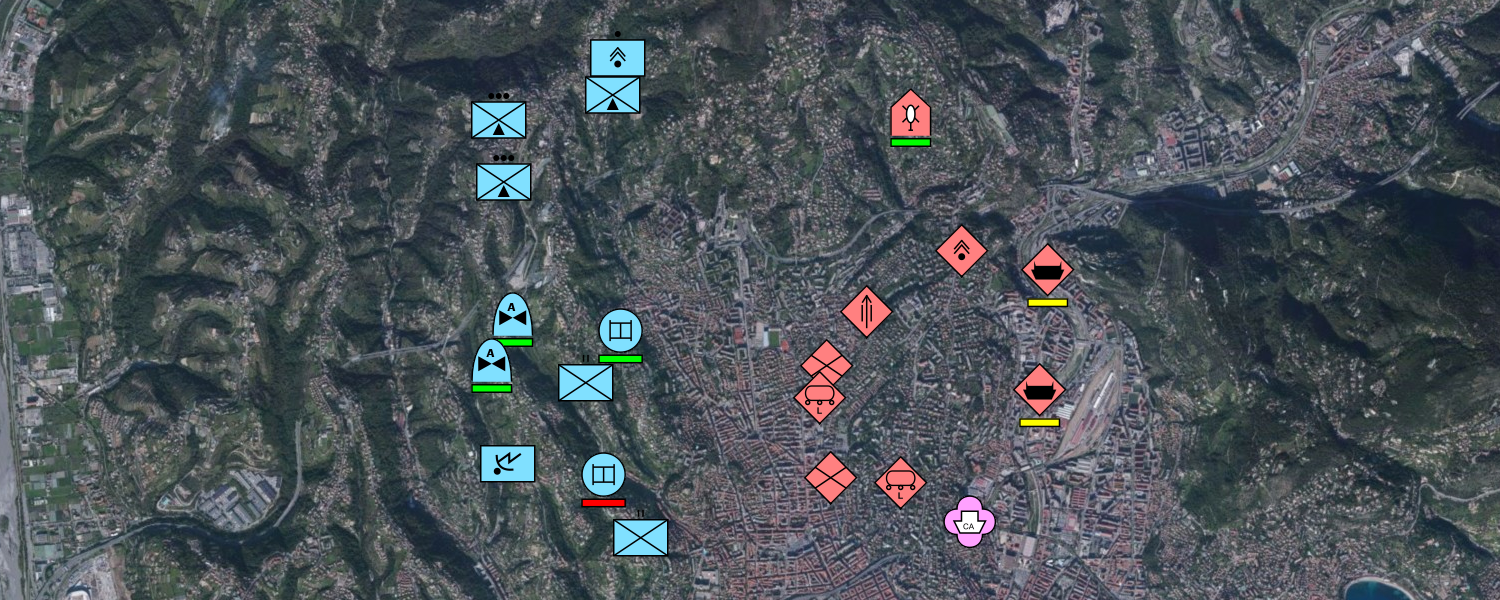
TACTICAL EXTENSION
- Extension for managing and visualising tactical symbols according to the DOD MIL STD-2525 and NATO App-6 standards.
MILITARY GEODATA FORMATS EXTENSION
- Adds functionality for reading military geographic data in CMRG (PCMap), DFAD and RPF (CADRG and CIB) formats.
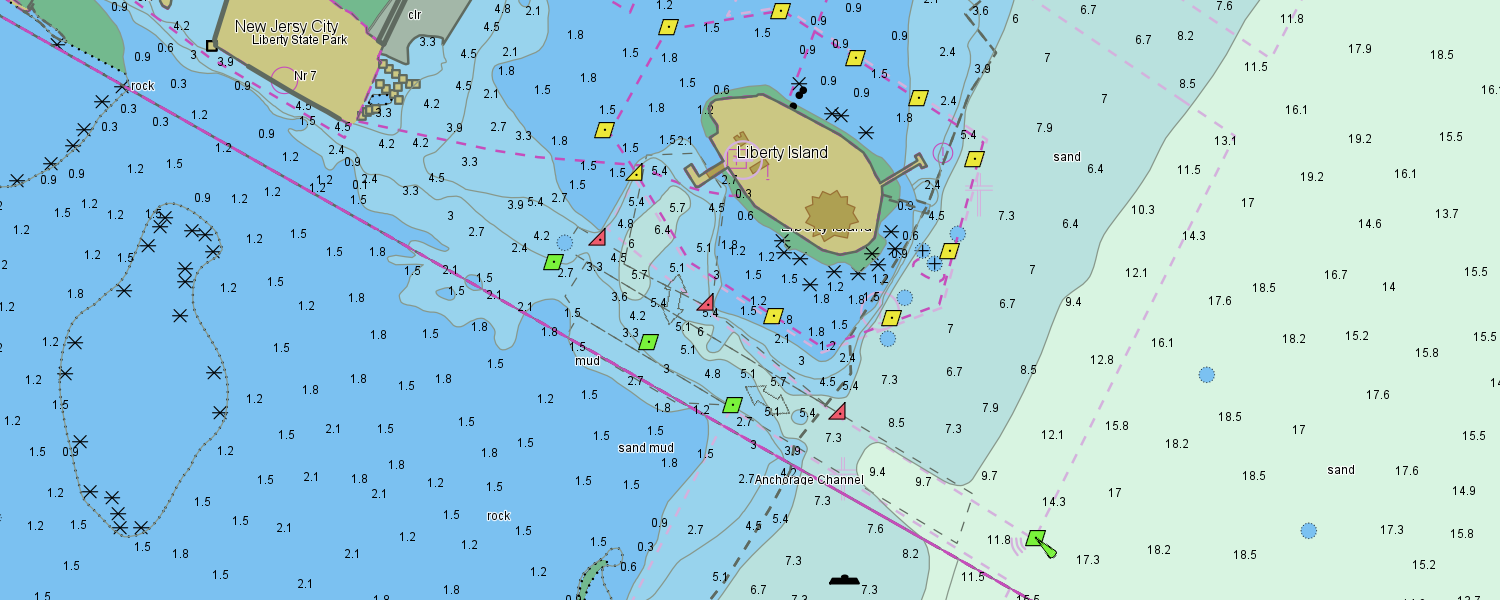
NAUTICAL CHARTS EXTENSION
- Extension for reading and rendering Nautical Charts according to the IHO S-57, S-63 and S-52 standards.
- Reads and portrays both ENC and NATO AML data.
C-MAP NAUTICAL CHARTS EXTENSION
- Adds support for reading C-MAP CM93 nautical charts and visualising them according to the IHO S-52 standard.
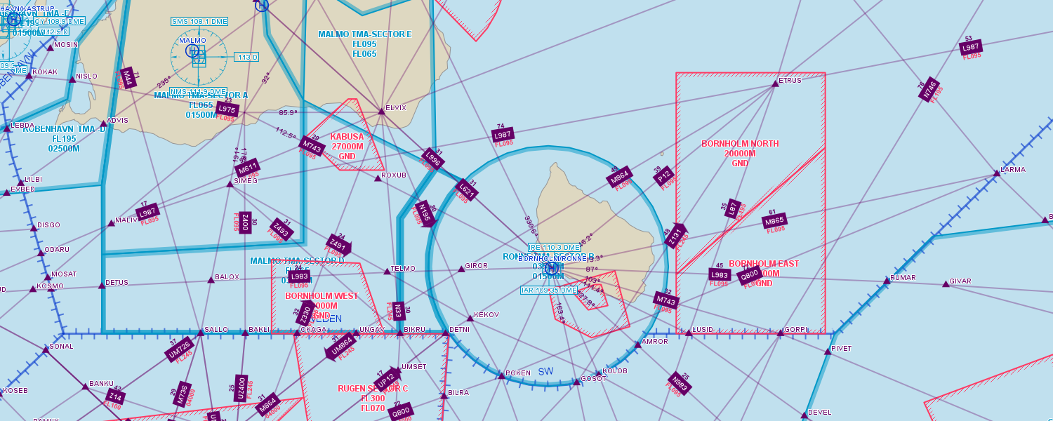
AERONAUTICAL CHARTS EXTENSION
- Reads aeronautical navigation database files on the ARINC SPECIFICATION 424- 16, 424-17 and 424-18 formats, as well as the AIXM 5.1 and 5.1.1 formats.
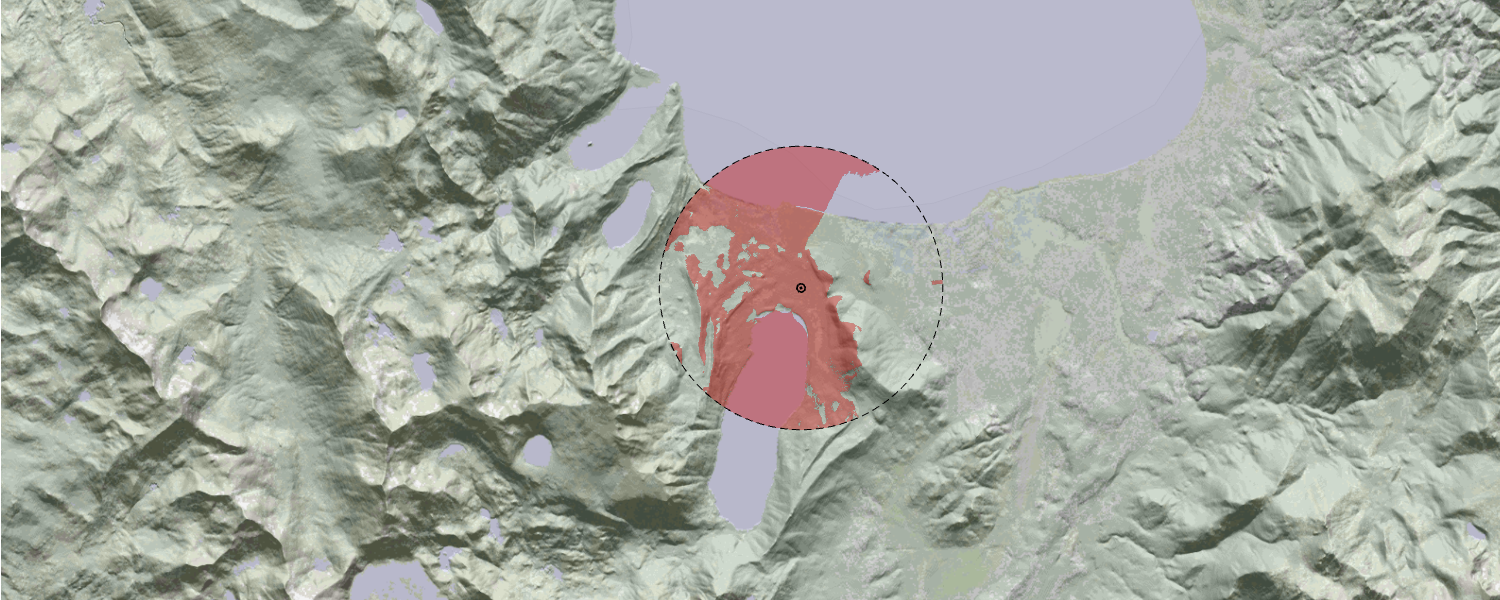
VISIBILITY ANALYSIS EXTENSION
- Extension for performing visibility calculations such as line of sight.
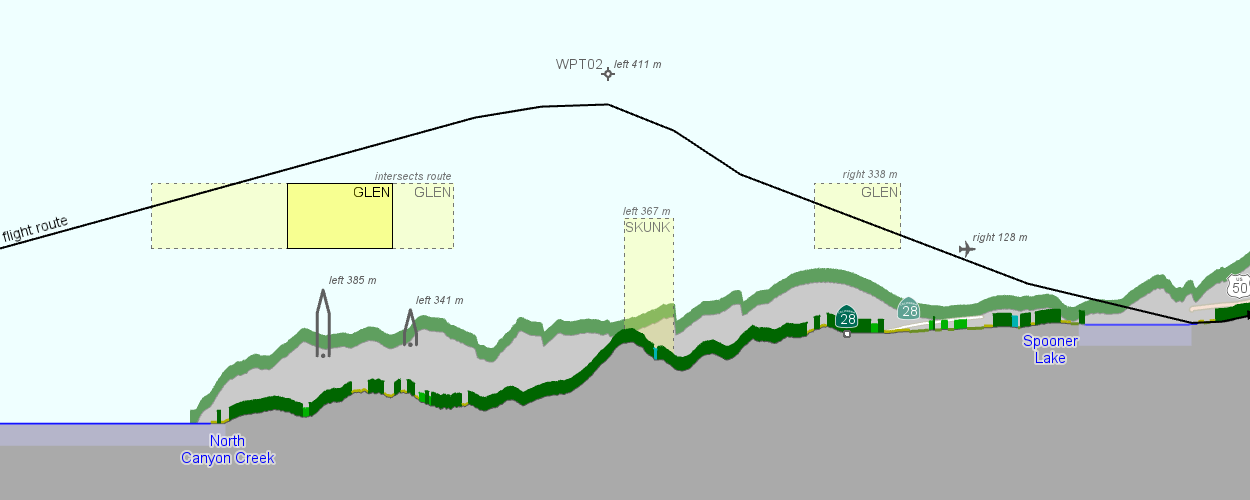
VERTICAL PROFILE EXTENSION
- Generates a vertical profile along routes, cutting through both terrain and vector data sources such as airspaces.
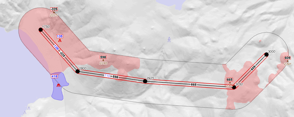
VERTICAL CLEARANCE EXTENSION
- Calculates the terrain and obstacle clearance in a corridor around routes.
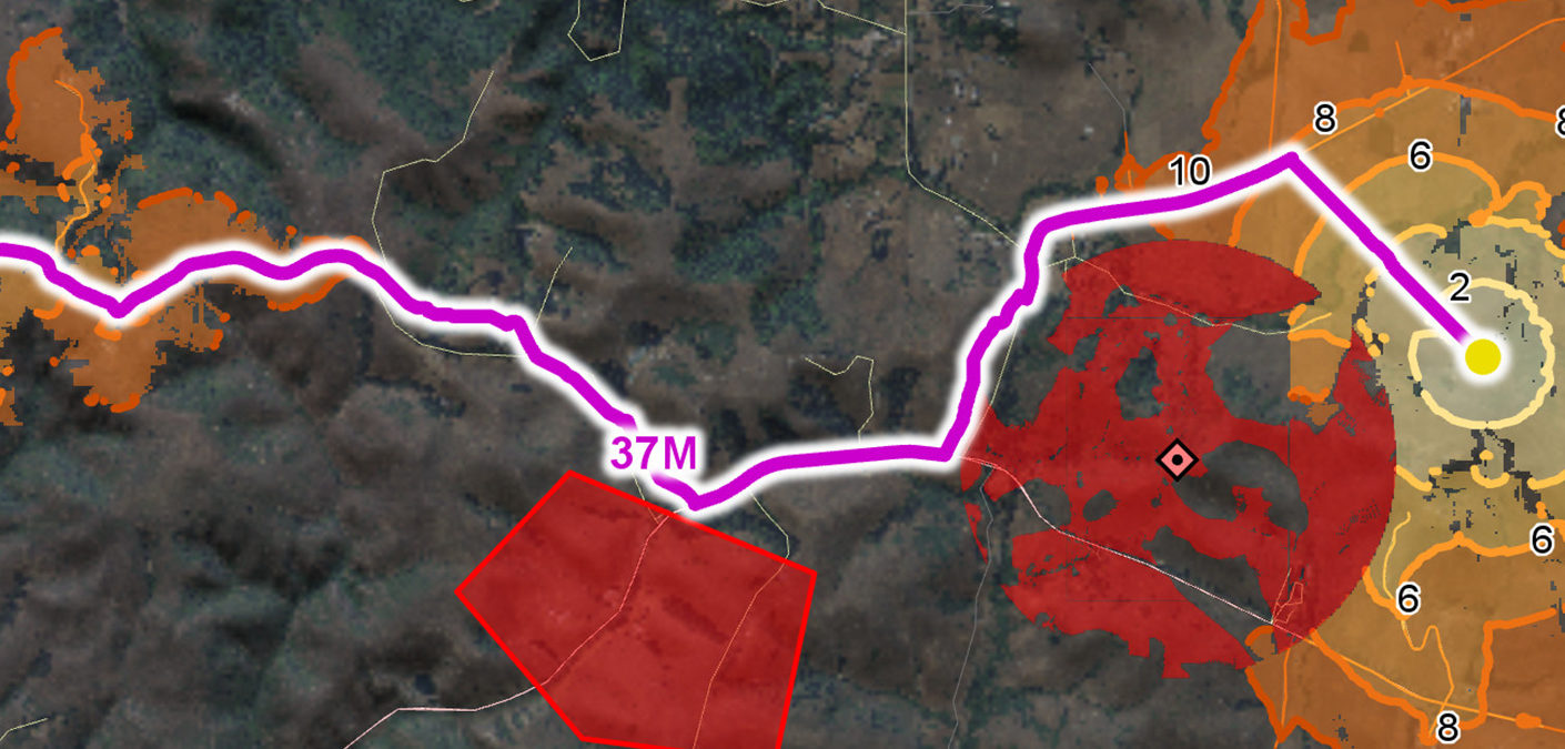
TERRAIN VEHICLE ANALYSIS EXTENSION
- Extension for calculating how ground-based manned and autonomous vehicles can interact with the terrain and the roads.
- Makes it possible to calculate optimal off-road routes for terrain vehicles based on road and ground conditions, operational constraints and vehicle characteristics.
- Provides information on the terrain accessibility, through the calculation of isochrones (travel times) or local speeds.
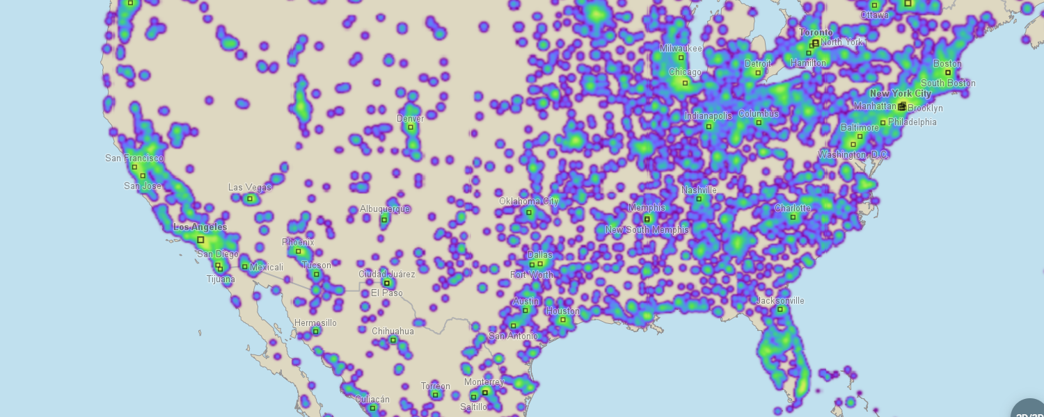
HEATMAP EXTENSION
- Adds functionality for dynamically generating point density rasters which can be visualised as heatmaps.
SPATIAL DATABASES EXTENSION
Extension for reading geospatial data from different types of databases:
- Microsoft SQL Server Extension
- MySQL Extension
- Oracle Spatial Extension
- PostgreSQL/PostGIS Extension
CAD DRAWINGS EXTENSION
- Extension for reading AutoCAD CAD databases in DWG and DXF file formats.