Real-Time Situational Awareness in Public Safety
With Carmenta technology, you can combine several live data feeds in their source format, to ensure you have an up-to-date view of your area of interest, and enhance your understanding of the situation.
All functionality can be used in real-time with great performance, ensuring that your first-line responders can focus on saving lives.
Projected live video streams
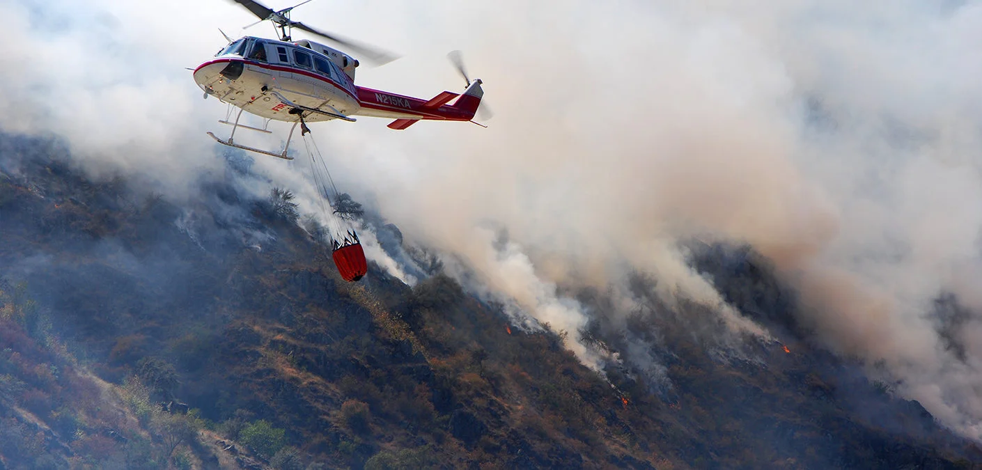
Projected live video streams can be used in a wide range of use cases, such as for forest fires, floodings, crimes, potential terror threats, crime investigations, and traffic information. Everything that happens in the video is immediately georeferenced, which significantly increases its usability. Video feeds can also be store for follow-up in, for example, investigations or forest fires.
- Overlays live video streams onto a 2D and 3D map in real time.
- Apply object detection algorithms to follow objects of interest on the map.
- UAV videos to detect and follow forest fires, potential terror threats, traffic information, etc.
- Videos from security cameras in public places like train stations and airports.
- Border protection over land & sea.

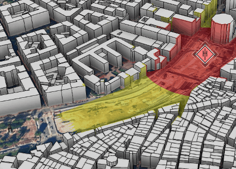
Real-time visibility analyses
With Carmenta technology it is possible to get extremely rapid visibility analysis in real-time. It can be applied on-the-fly for moving objects like helicopters or UAVs.
- Line-of-sight calculations based on elevation data or 3D city models.
- Detect blind spots for security cameras or choose which one to use.
- Visibility index analysis helps define optimal observation positions, such as for deploying police officers.
- Integrate your customized propagation model, such as for radiation threats.
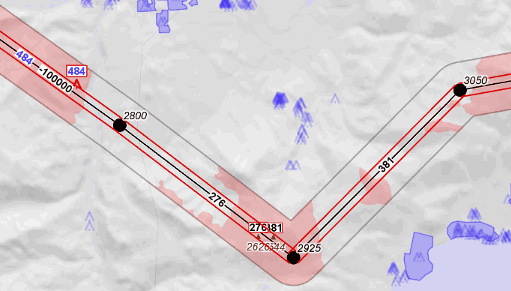
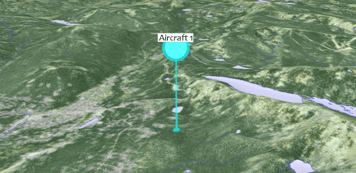
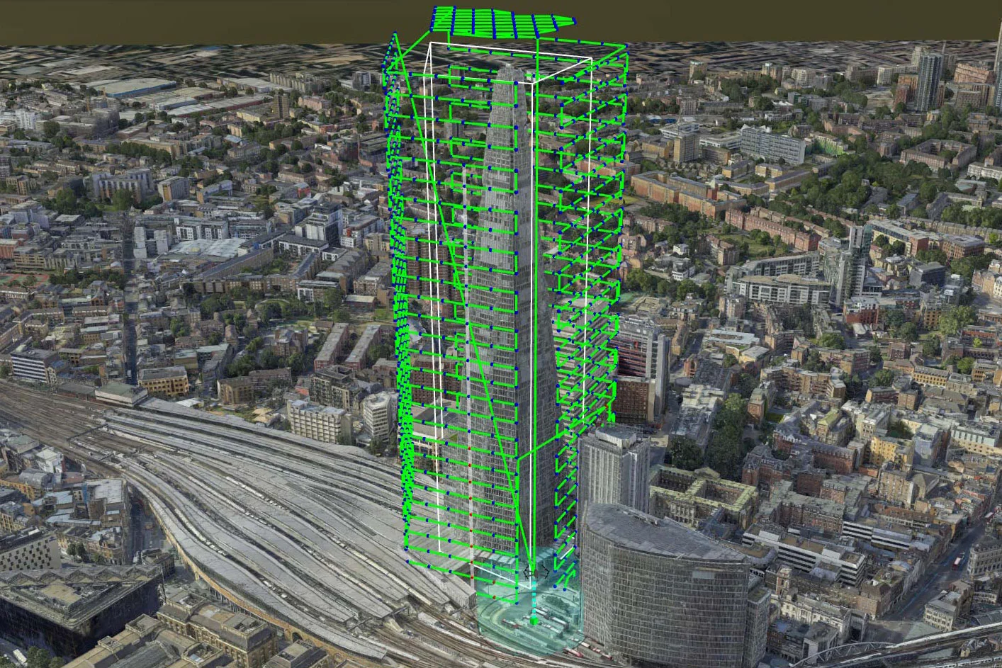
Plan safe flight routes
- Detect obstacles and dangerous areas when planning your surveillance UAV or helicopter flight.
- Dynamically adjust the flight plan on the map and let pilots rehearse the flight route.
- Configure a colour-coded terrain warning visualization, to help in bad visibility conditions such as fog.
On-/off-road routing
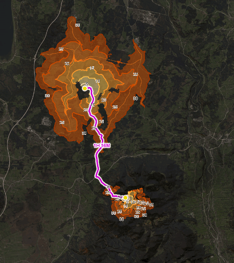
By having up-to-date and detailed information on, for example, elevation data, terrain types, roads, and vehicle properties, it is possible to plan effective and safe terrain routing. Dangerous areas, such as floods, radiation zones or even minefields can be avoided. Routes can be constantly updated in response to changed conditions, such as an expanding fire. And routes can be planned to make sure that fire trucks or ambulances reach the emergency location in the shortest time.
- Plan routes for fire trucks or ambulances to reach the emergency location in the shortest time.
- Rapid re-routing based on terrain, roads, vehicle properties.
- Avoid dangerous areas, such as radiation zones or expanded fire.
- Understand your terrain by visualizing its accessibility with isochrones.
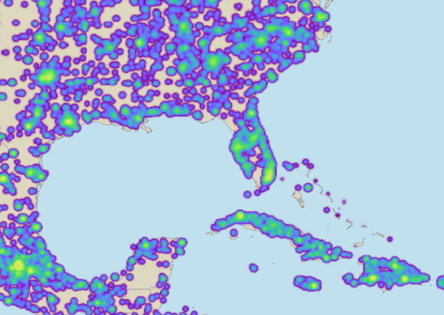
Dynamic Heatmaps
Dynamic heatmaps can be sued to quickly display the point density of large amounts of data.
Easily visualize and analyse
- Historic occurrence of fires, floods or crime
- Distribution of fire fighters in a forest fire
- Evolution of epidemics
Extend your horizons
Geospatial technology that empowers you to see more, know more, and make better decisions – in real time.
Carmenta Server
Carmenta UAS Services
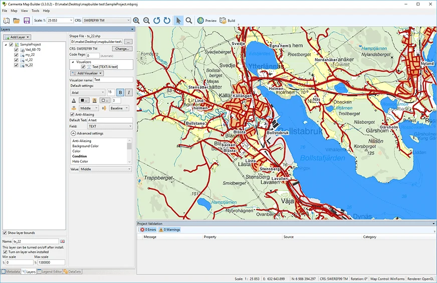
Carmenta Map Builder
Try for free – no commitment
Are you ready to see how our products can transform your work? Request a free trial today and explore the full potential of our geospatial technology.
Our free product evaluation includes:
- 30 days unlimited access to our SDK.
- Full access to our e-mail support during the evaluation period.
- Full access to our online self-study course during the evaluation period.
Please specify which product/products you are interested in.
This form can be used to request a trial for:
- Carmenta Engine
- Carmenta Server
- Carmenta Map Builder