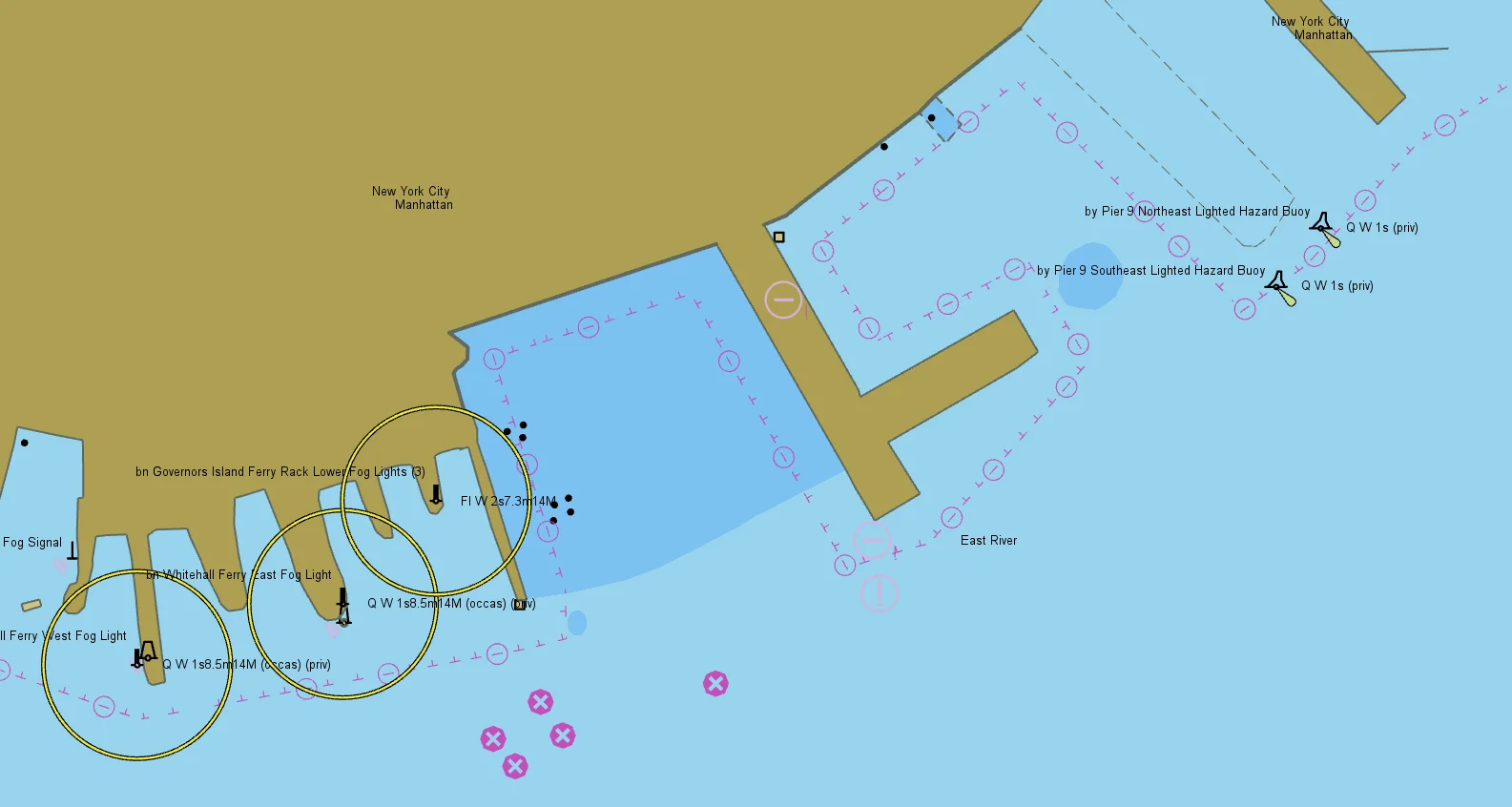
Maritime CMS
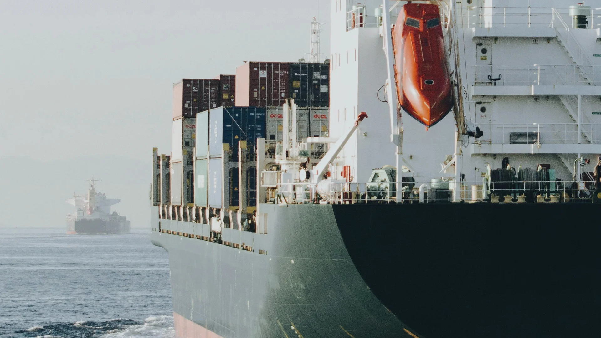
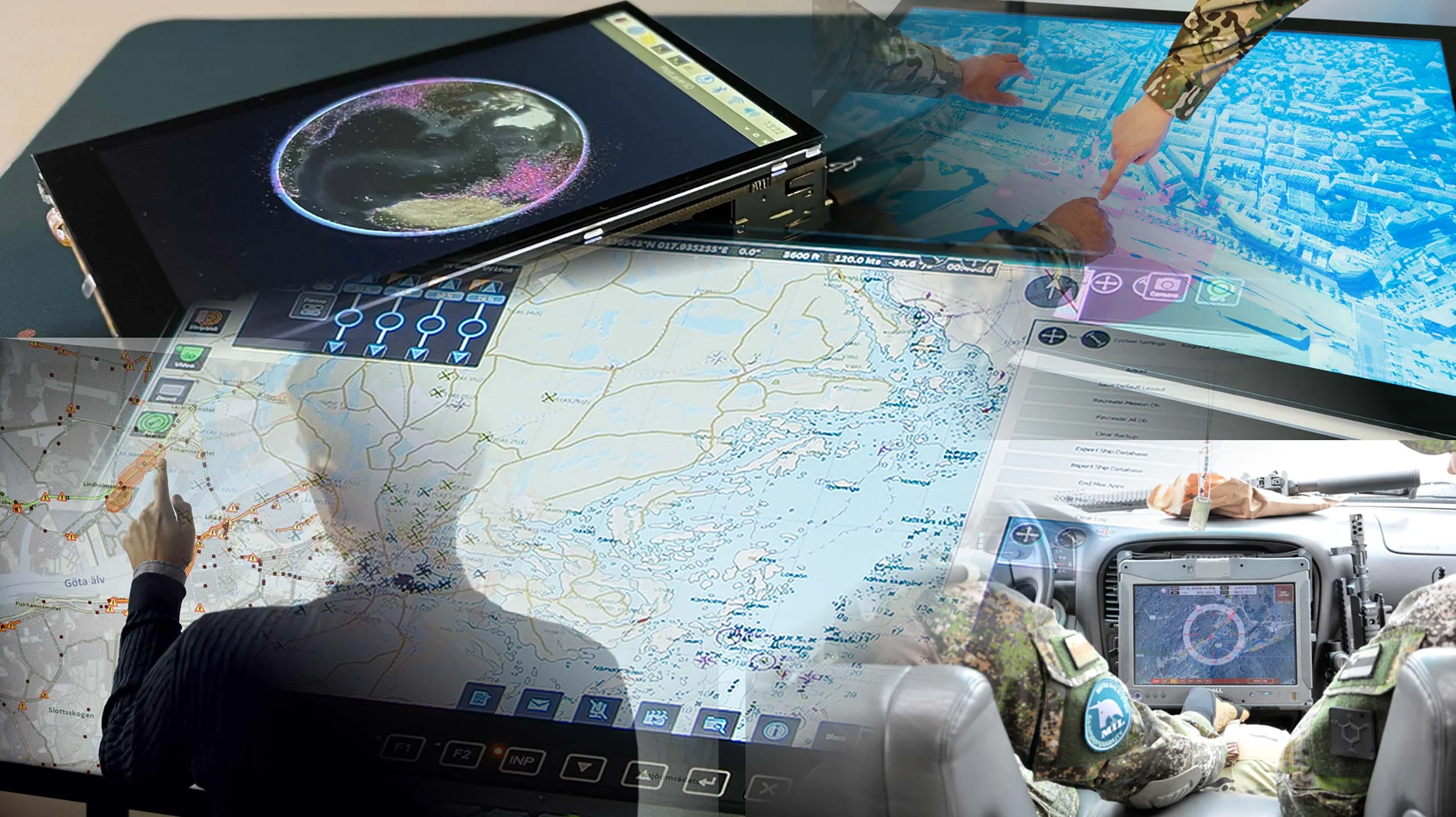
Carmenta technology provides improved situational awareness in a wide range of mission-critical maritime systems with very high demands.
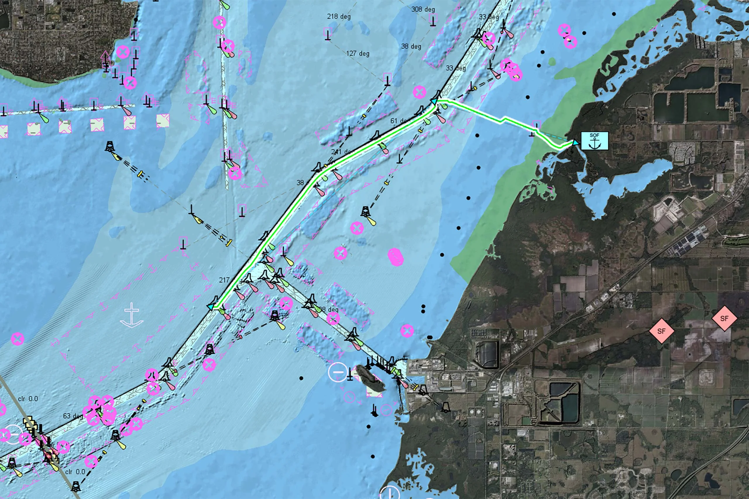
Directly access IHO S-57 and S-63 nautical charts, including military AML overlays, and apply standard IHO S-52 presentation.
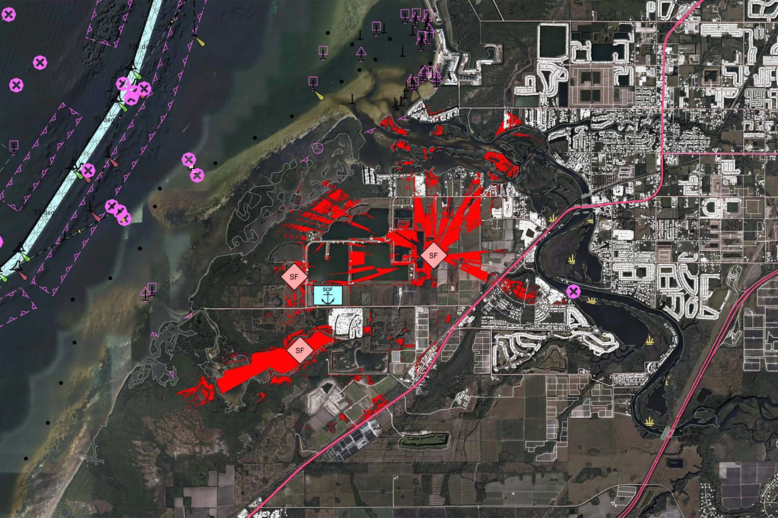
Visualize up-to-date GRIB weather forecasts and live weather radar data on the map.
Easily distribute maritime data in a web service context through industry standard OGC® services.
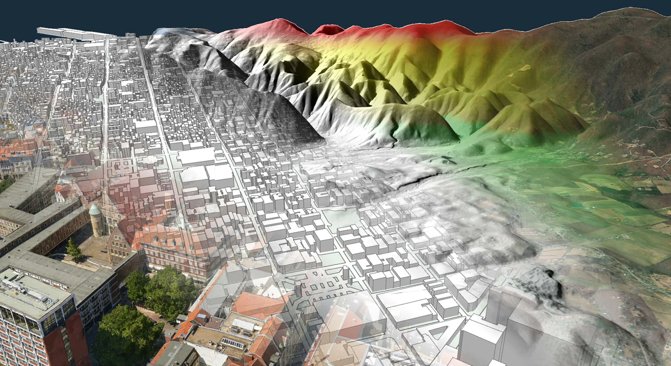
Use high resolution elevation and bathymetry data for routing and visibility calculations.

Are you ready to see how our products can transform your work? Request a free trial today and explore the full potential of our geospatial technology.
Please specify which product/products you are interested in.
This form can be used to request a trial for: