Mission-critical mapping

Built for flexibility, robustness, and performance, our technology is integral to mission planning and execution across aeronautical, ground, and maritime operations. Whether developing solutions for air, sea, or land, crewed or uncrewed, Carmenta technology is deployed and trusted in defense systems worldwide.
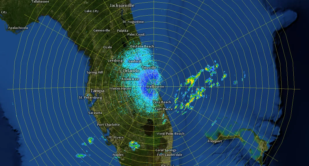
Connect directly to geospatial data in more than 100 different formats – no need for conversion. Outstanding support for military data formats.
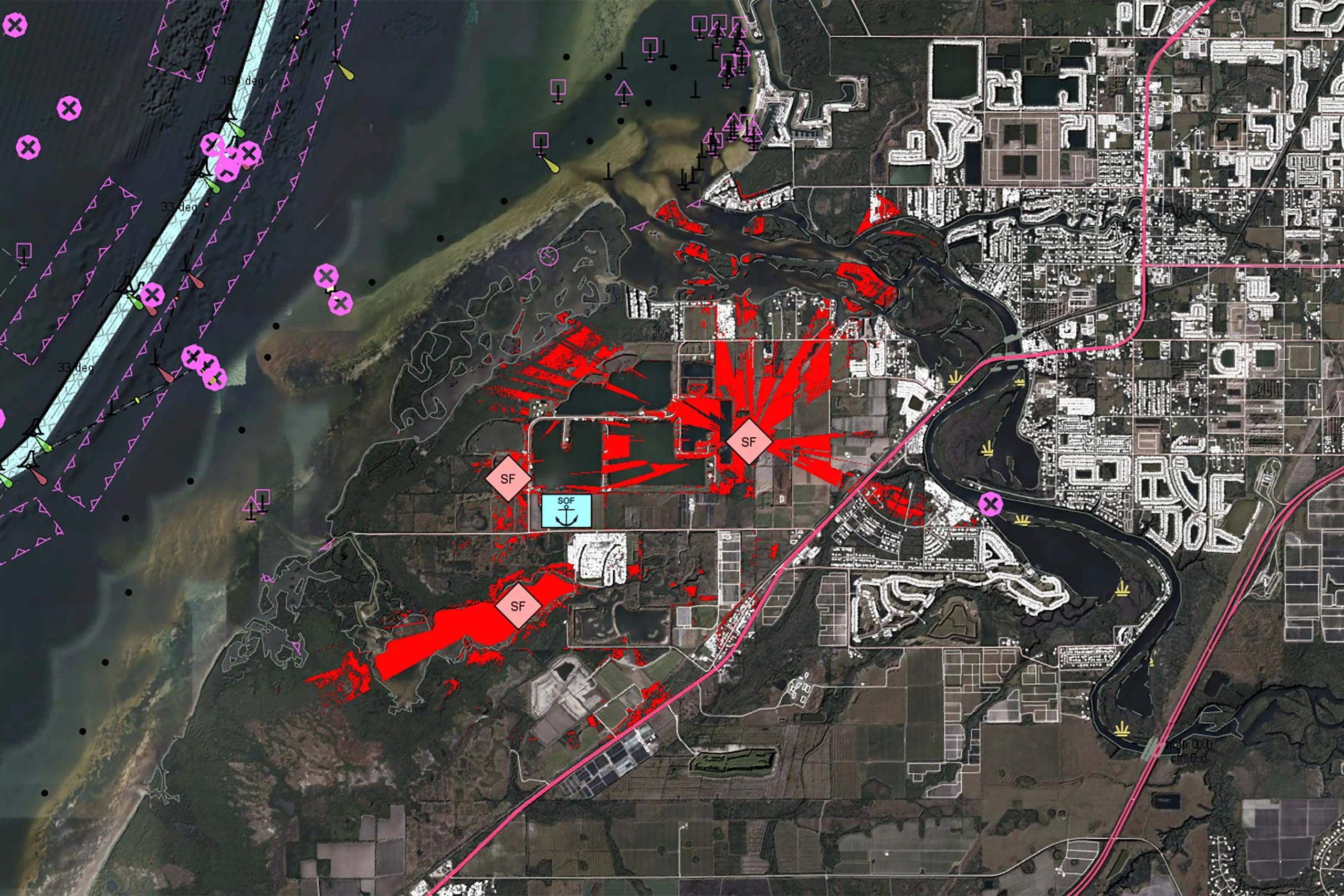
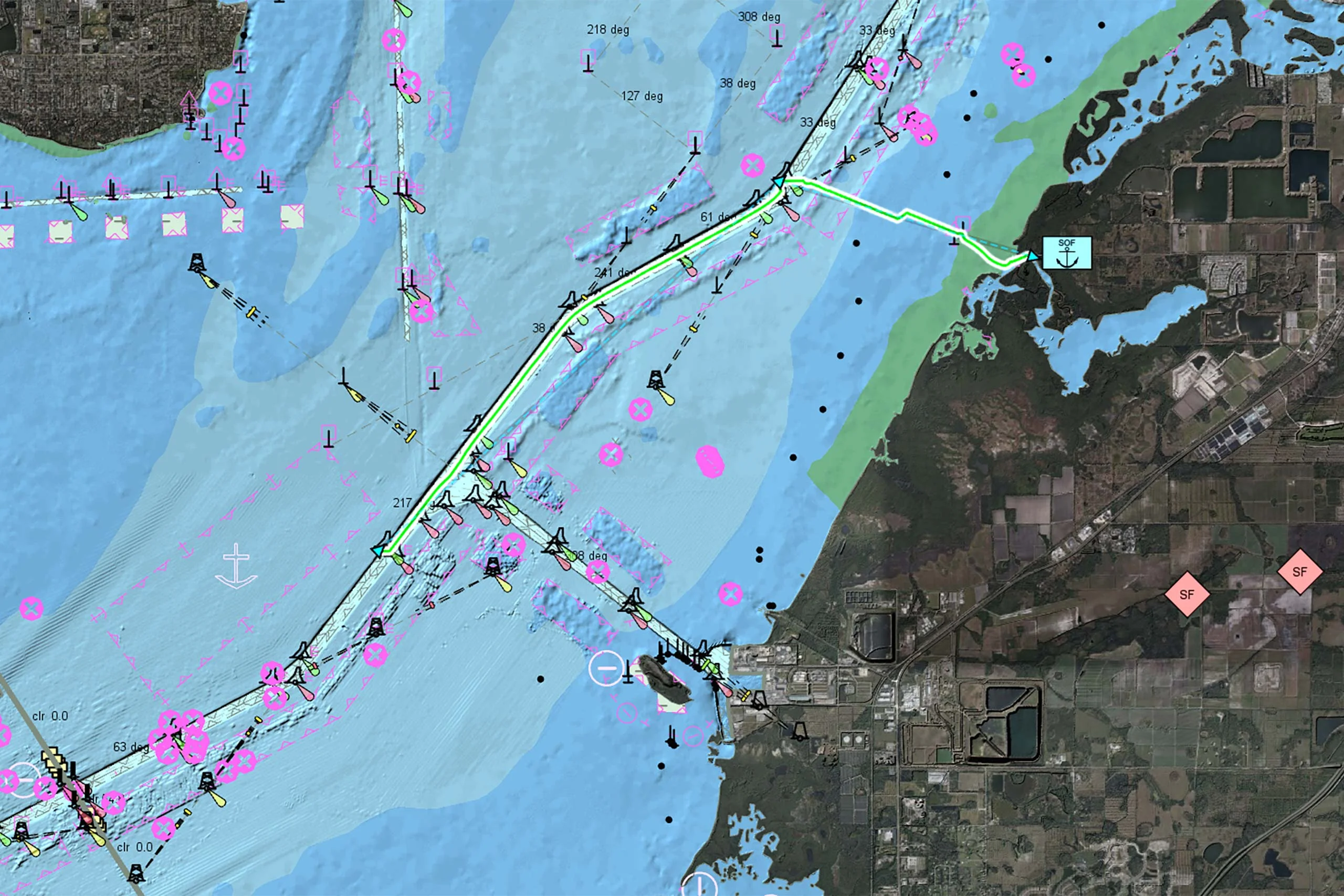
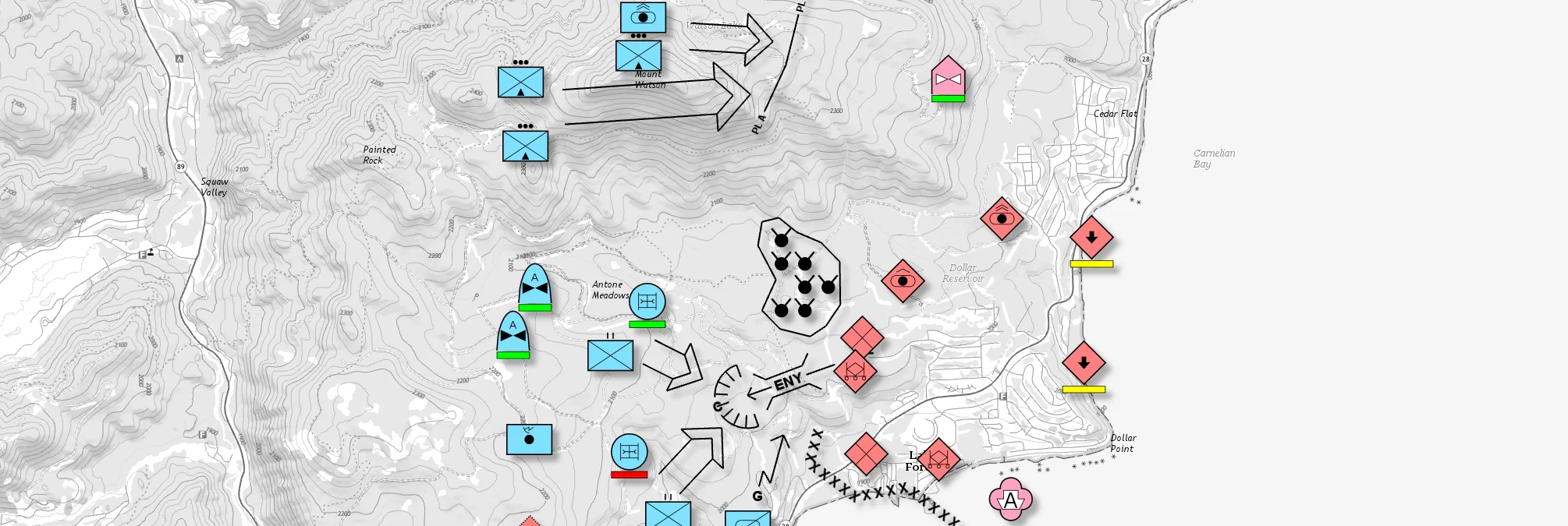
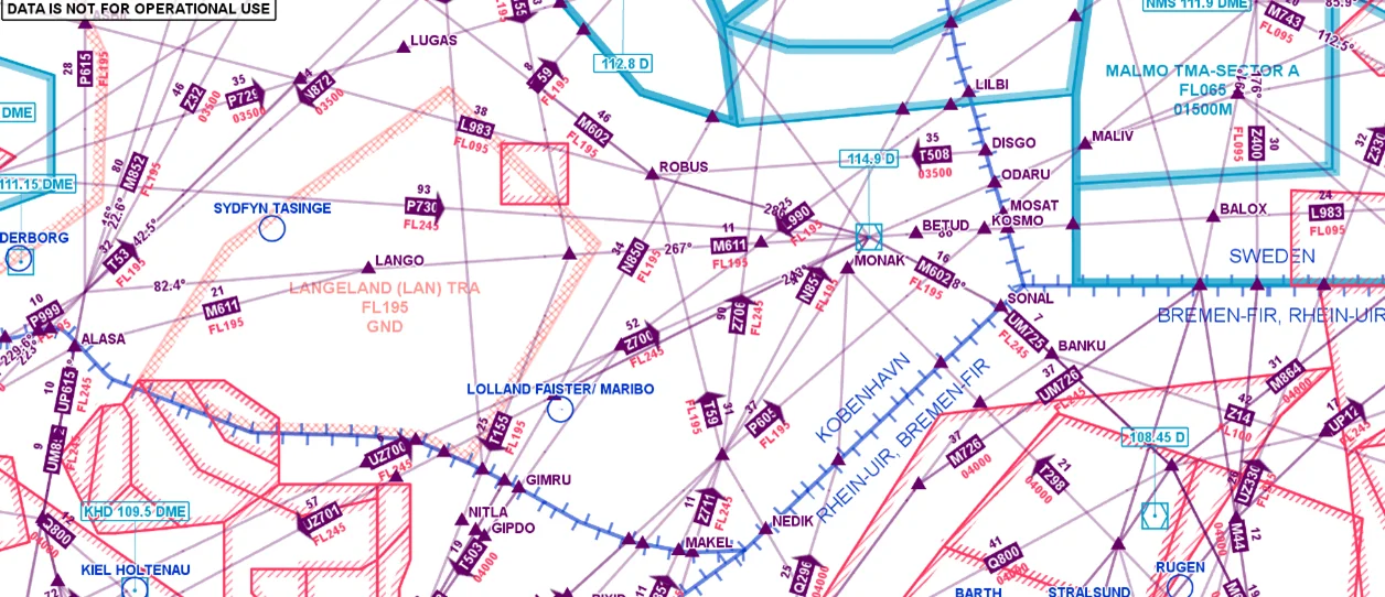
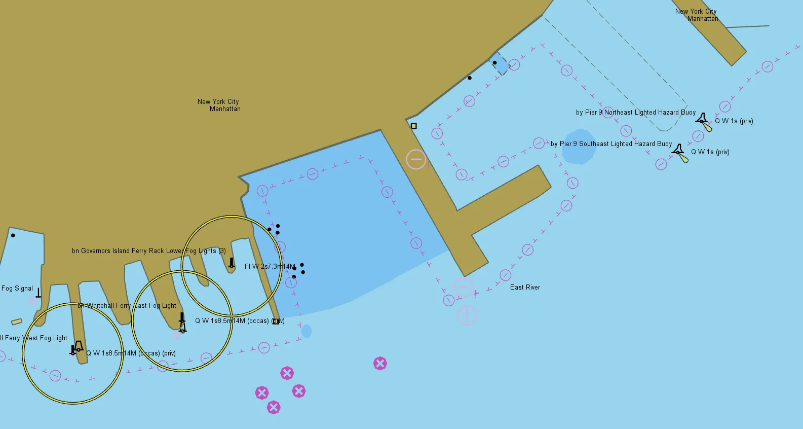
Easily implement support for MIL-STD-2525 and NATO App-6 military overlays that can handle large volumes of dynamic information.
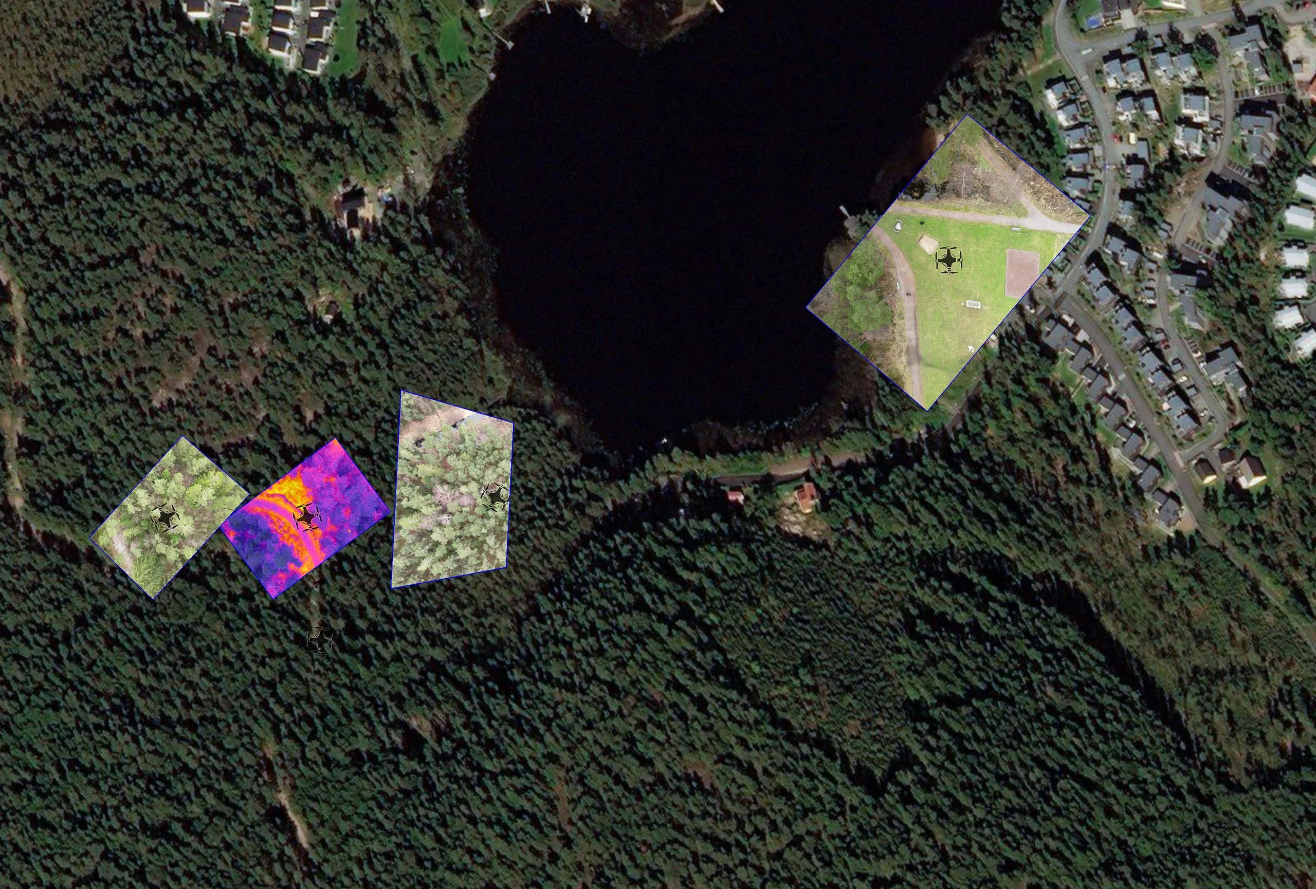
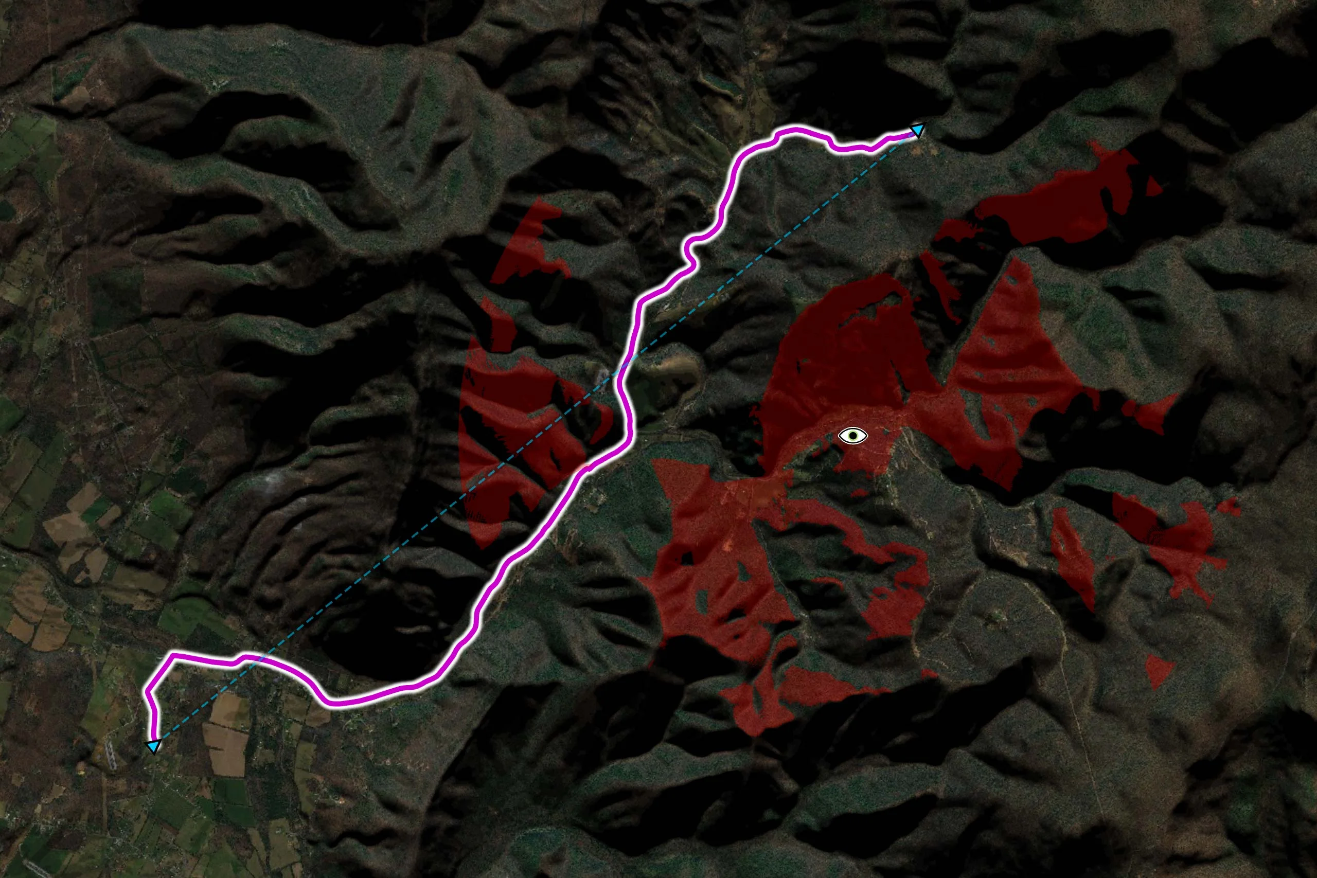
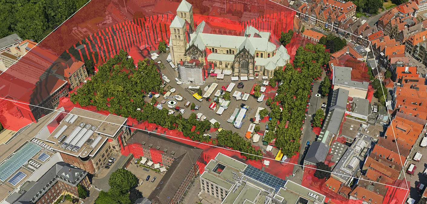
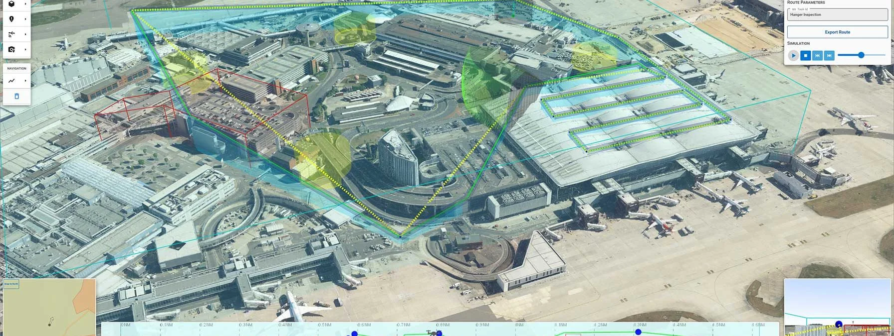
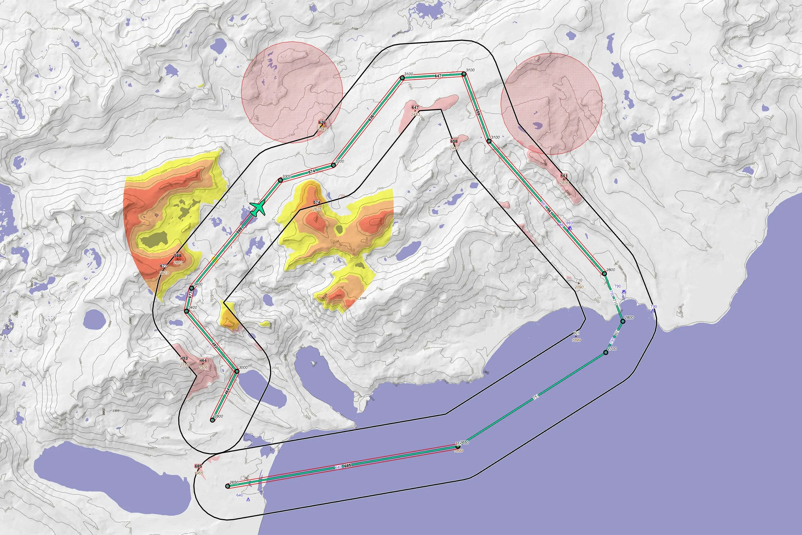
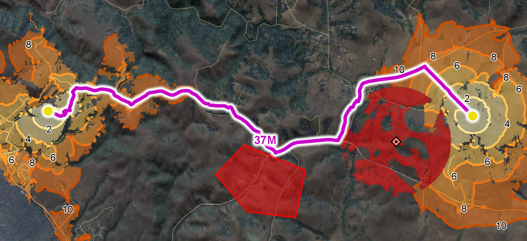
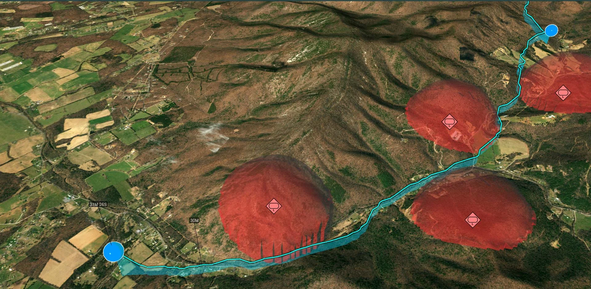
Real time intervisibility calculation, as well as routing for drones and off road vehicles, provides decision support.
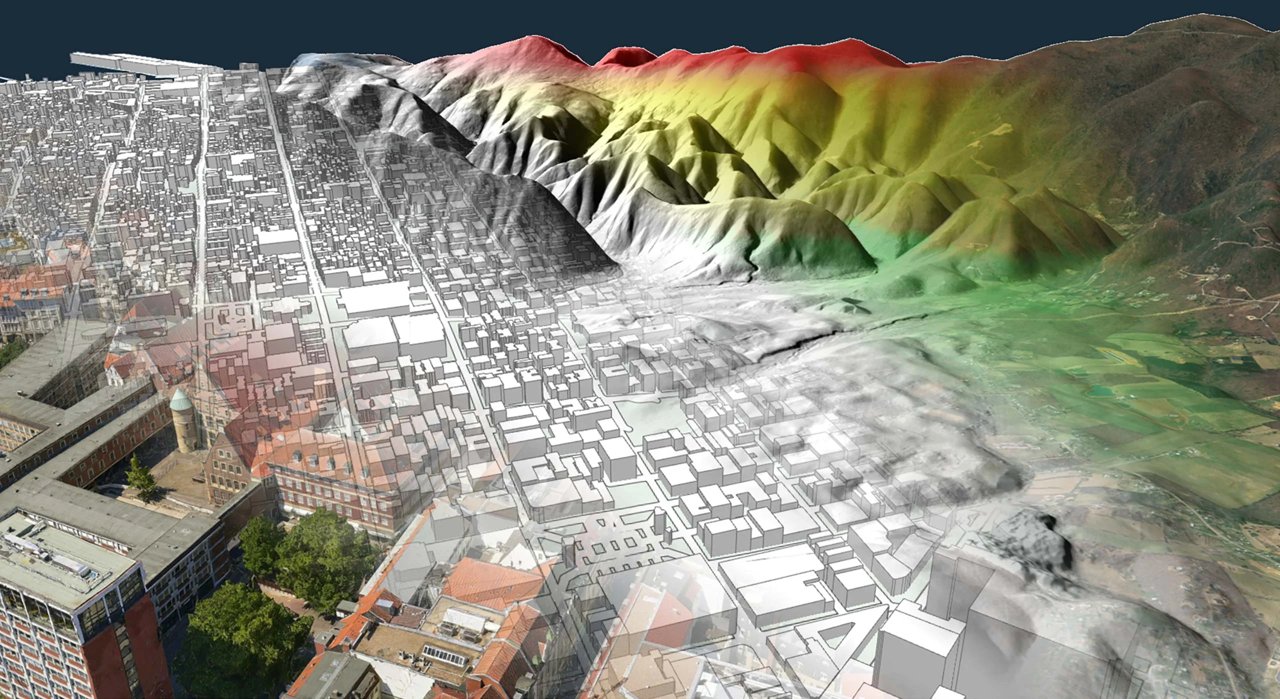
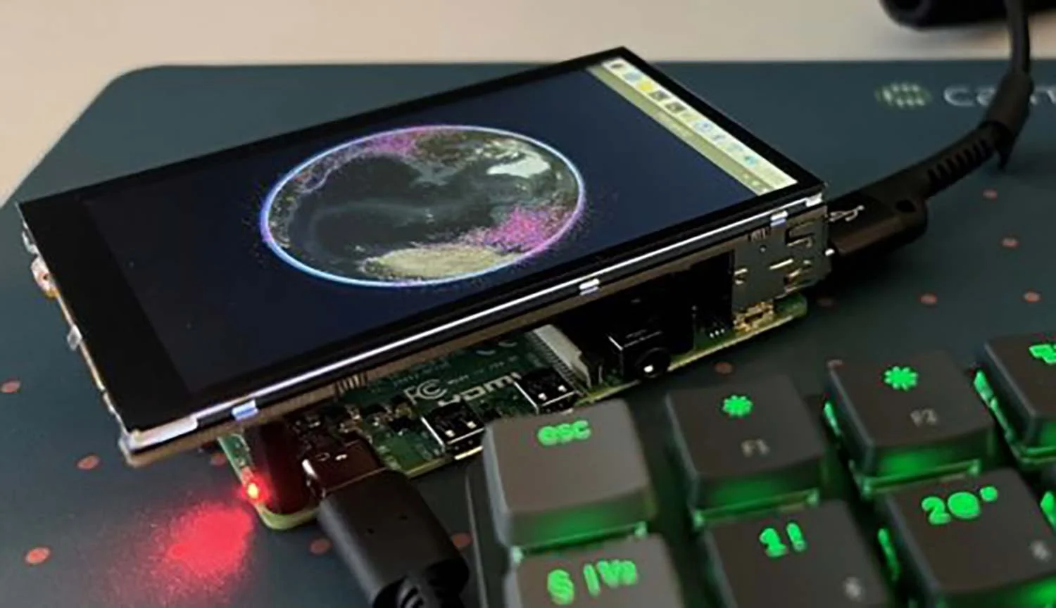
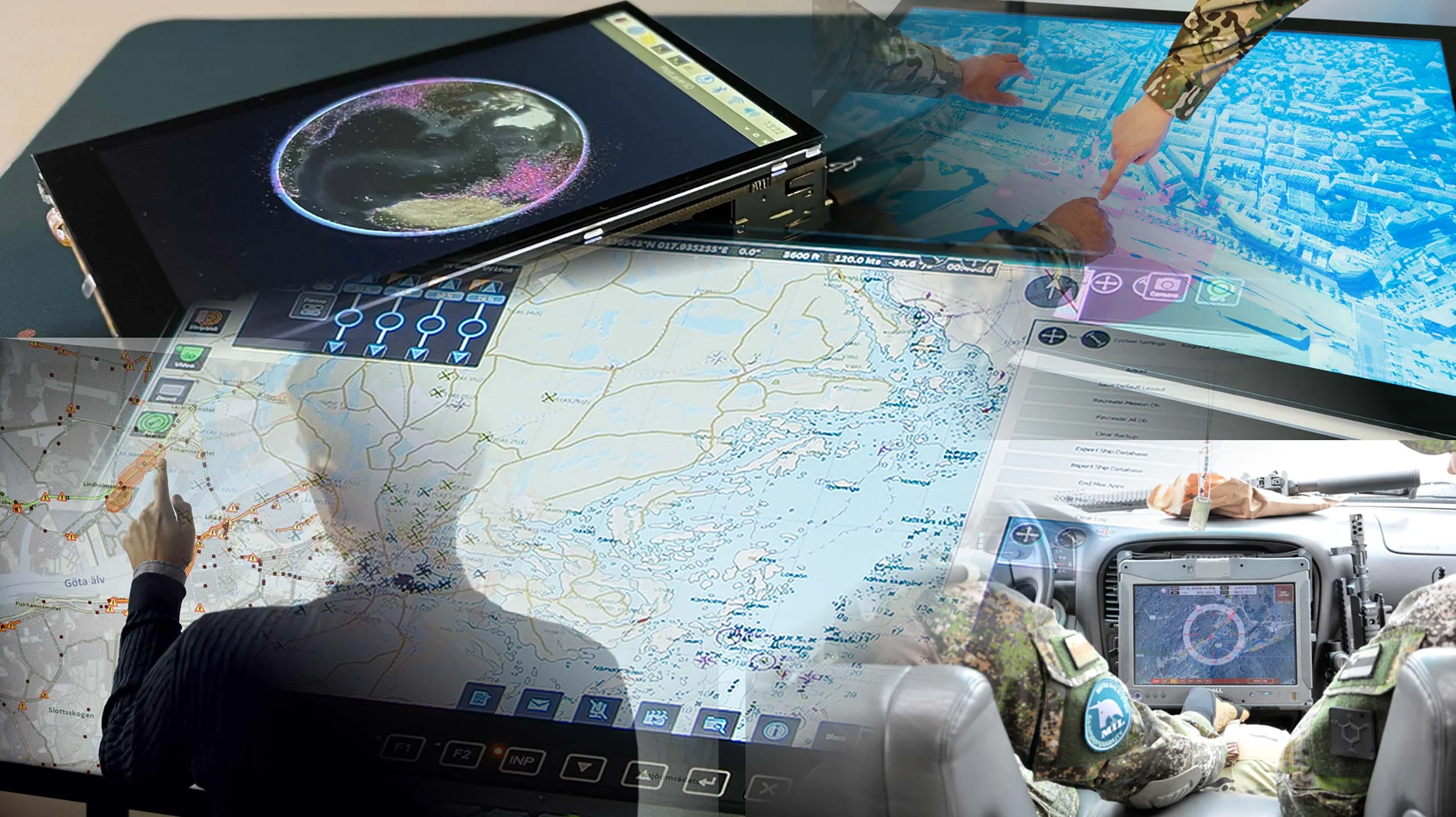
Empowers high resolution interactive displays in command centers, yet light weight enough to be embedded in autonomous platforms.


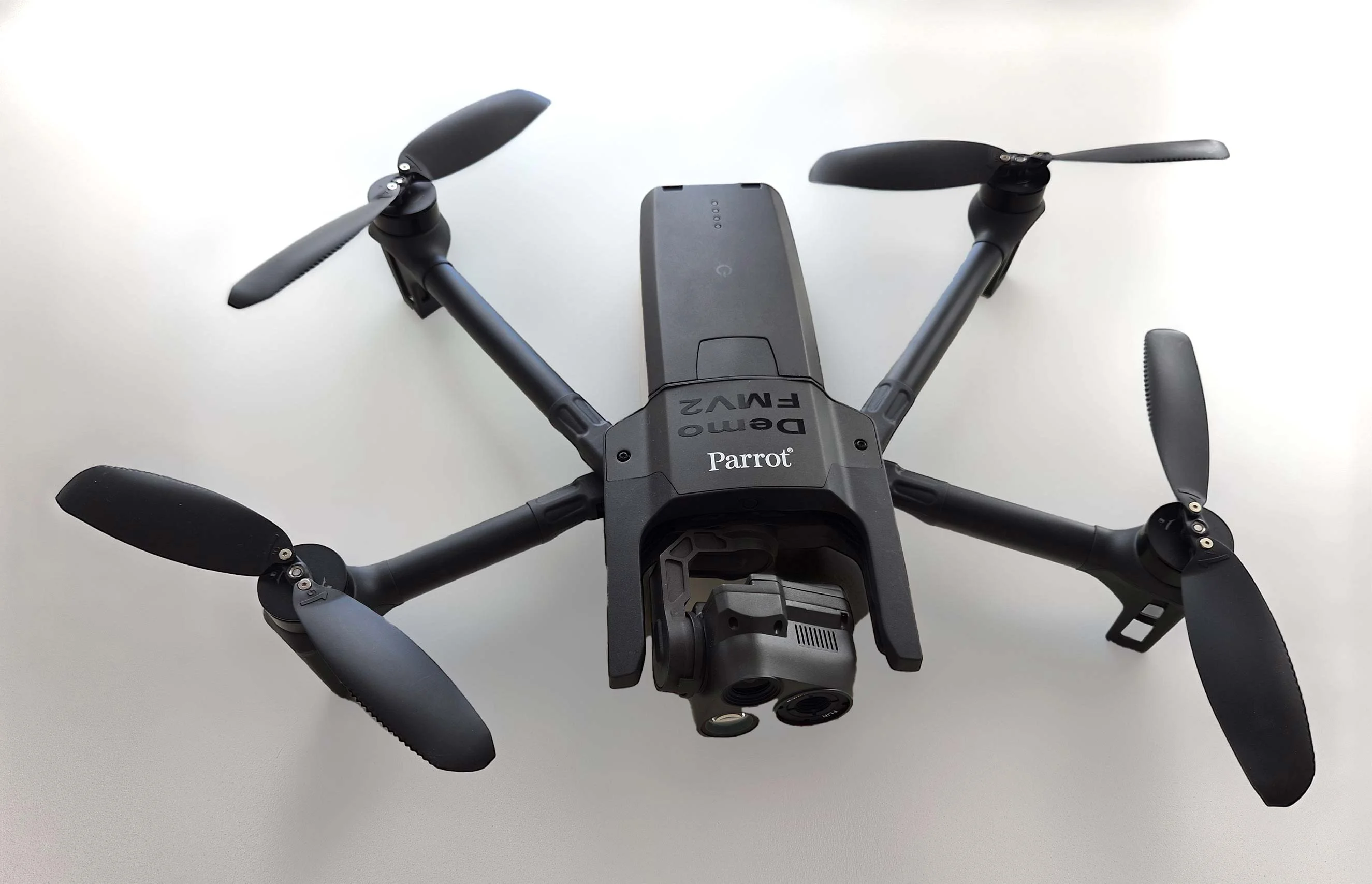
As part of Project Demo UCAV, Carmenta is proud to have participated in a drone exercise during Aurora 26, where its technology was used for UAS routing and mission planning.
Read more
Carmenta is proud to participate in NATO's Coalition Warrior Interoperability Exercise (CWIX 2026) in collaboration with Allied Armed Forces, and to contribute to this collaborative effort.
Read moreDENMARK: Explore how Carmenta's geospatial software can be used to support defense organisations with fast, reliable and high‑precision situational awareness.
Read moreExplore Carmenta’s offering for Unmanned Systems – From Mobile Devices to Cloud.
Are you ready to see how our products can transform your work? Request a free trial today and explore the full potential of our geospatial technology.
Please specify which product/products you are interested in.
This form can be used to request a trial for: