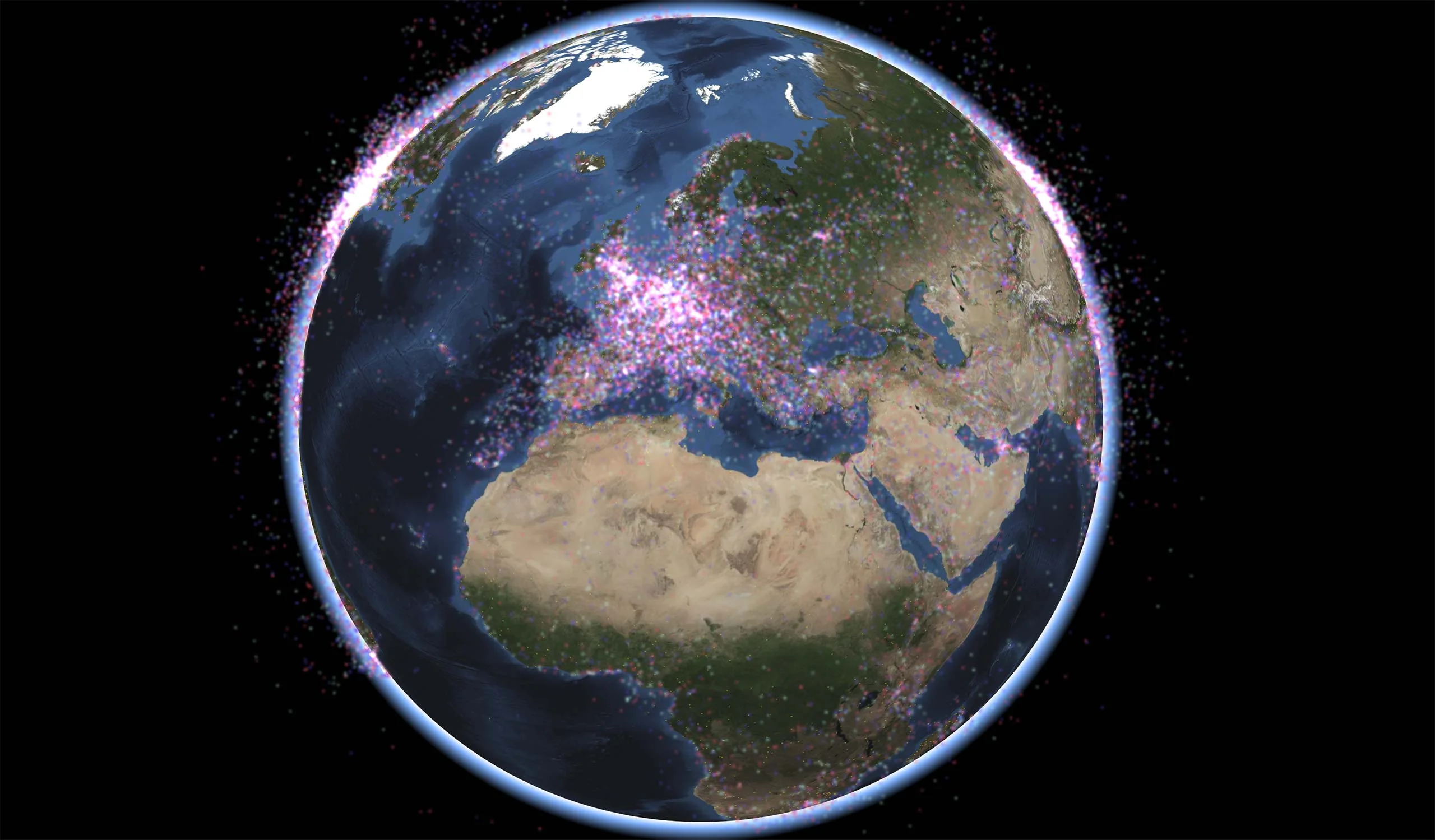
Georeferenced Video

Overlay Full Motion Videos from Any Source
Real-time video overlays can provide a critical advantage to UAV ground control stations and other systems that manage tactical video intelligence.
Overlaying Live Video Streams
Overlaying a live video stream on a map, from a UAV or other source, greatly enhances the usability of the video by immediately geo-referencing everything that happens in the video.
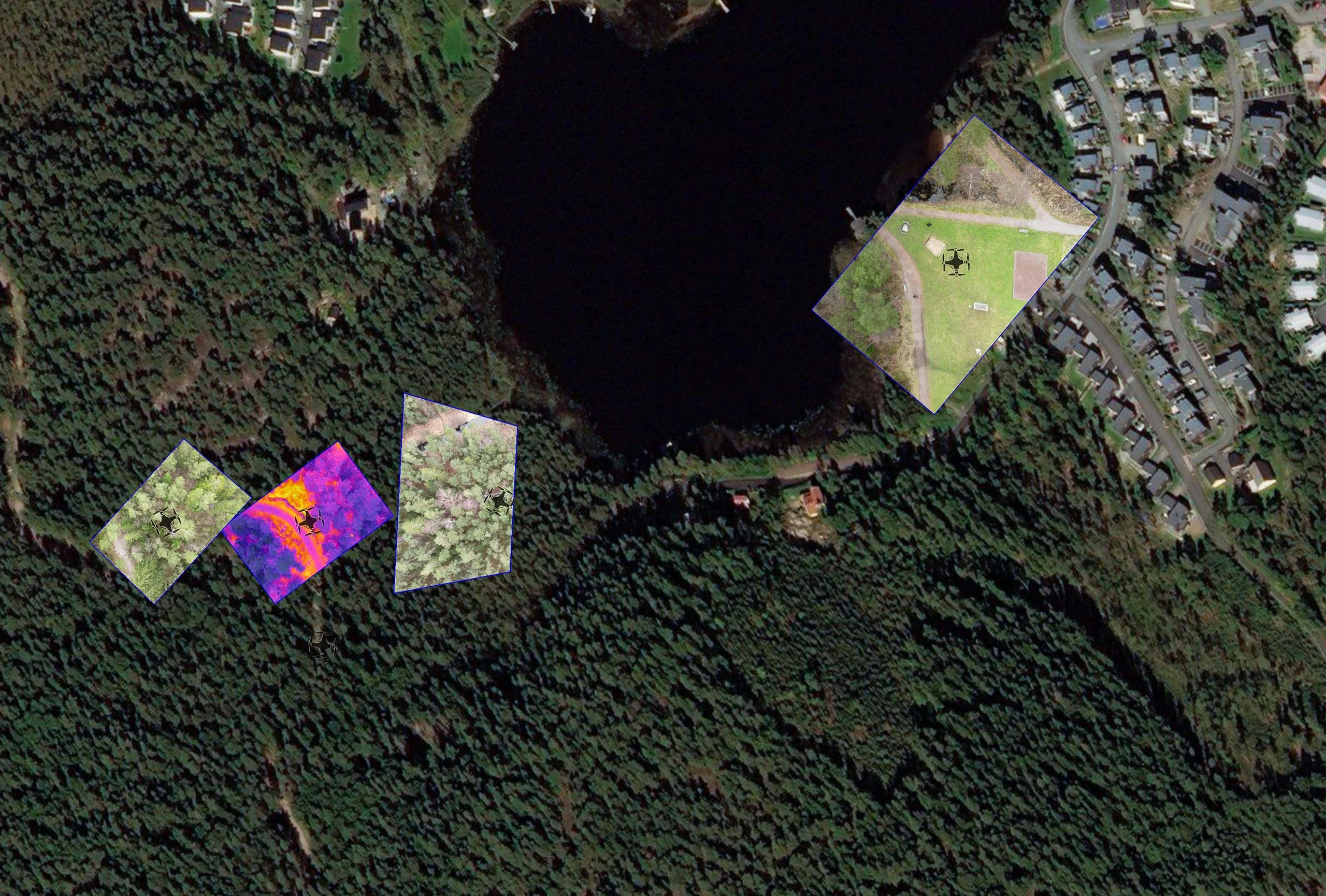
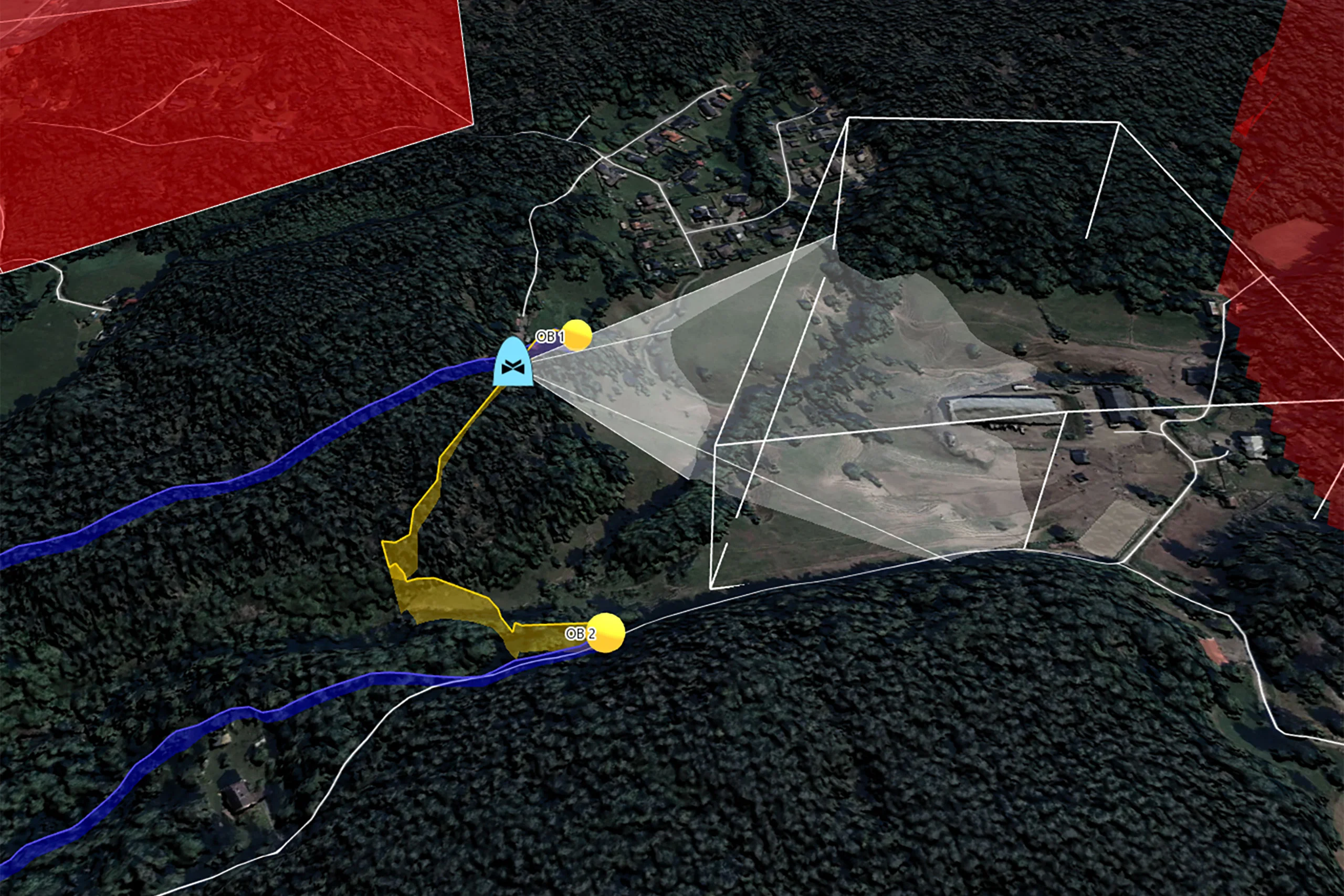
Image: Drone video is projected onto the map, based on the camera properties. (Aerial photo from Bing Maps).
Image Mosaics On-the-fly
Carmenta technology also makes it possible to generate a continuously updated image mosaic as the drone video is downlinked. The result is that the map is “painted” on-the-fly with images from the video, significantly improving situational awareness for end users.
Modular Architecture
The modular architecture of Carmenta’s georeferenced video technology allows you to write your own code to read both the video stream and the camera metadata using any of the APIs supported by Carmenta Engine (C++, C#, or Java). This means you can use videos from any source.
To help you get started, the functionality comes with a sample video and associated camera metadata encoded according to the Motion Imagery Standards Board (MISB) 0601 and NATO STANAG 4609 standards.
The high-performance architecture allows full-motion video streams to be georeferenced on the fly to display the video overlay on the map.
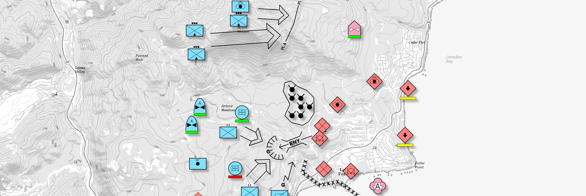
Use Case
Ground Combat
Geospatial software is a critical component in ground combat operations. It creates situational awareness and enables the armed forces to fulfill their mission efficiently.
Developer blog
Introduction to drone video image stitching
Learn how to use Carmenta Engine 5.17’s MosaicWriter to stitch georeferenced drone video frames into GeoPackage mosaics for real-time mapping applications.
Related Product: Carmenta Engine and Carmenta UAS Mission Kit
Carmenta UAS Mission Kit
Develop More in Less Time
Leveraging an SDK does not only accelerate the development process and cut costs, it also increases application robustness and reliability.
Related Features
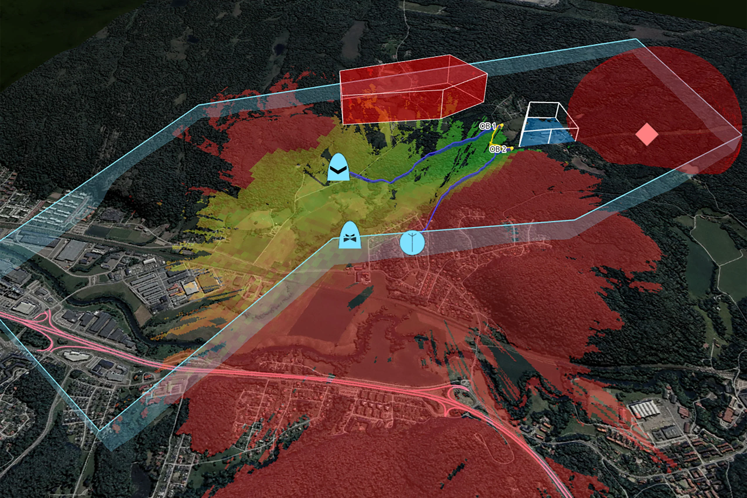
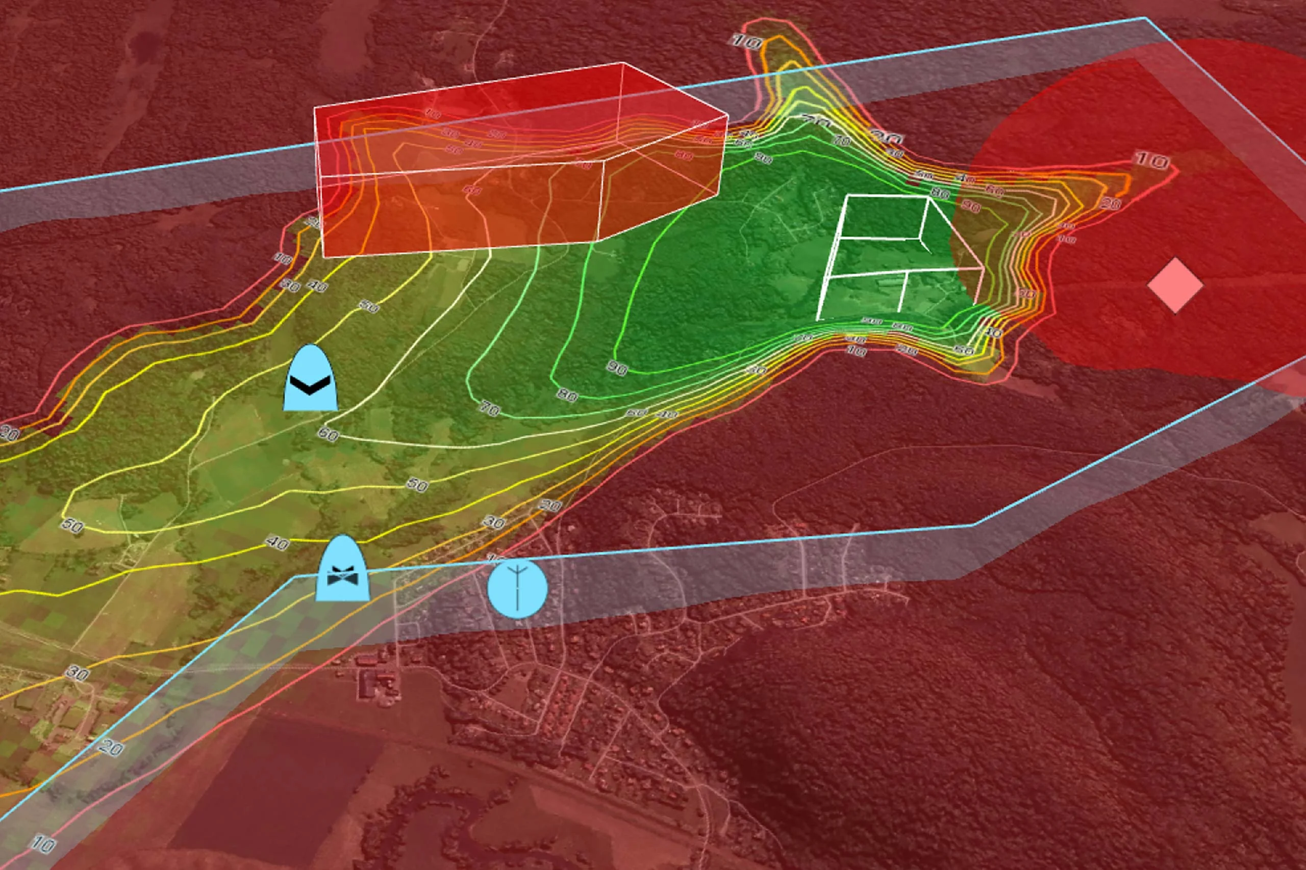
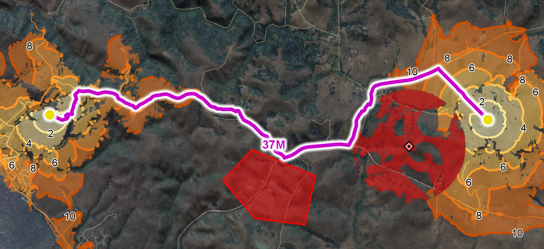
Radio Coverage
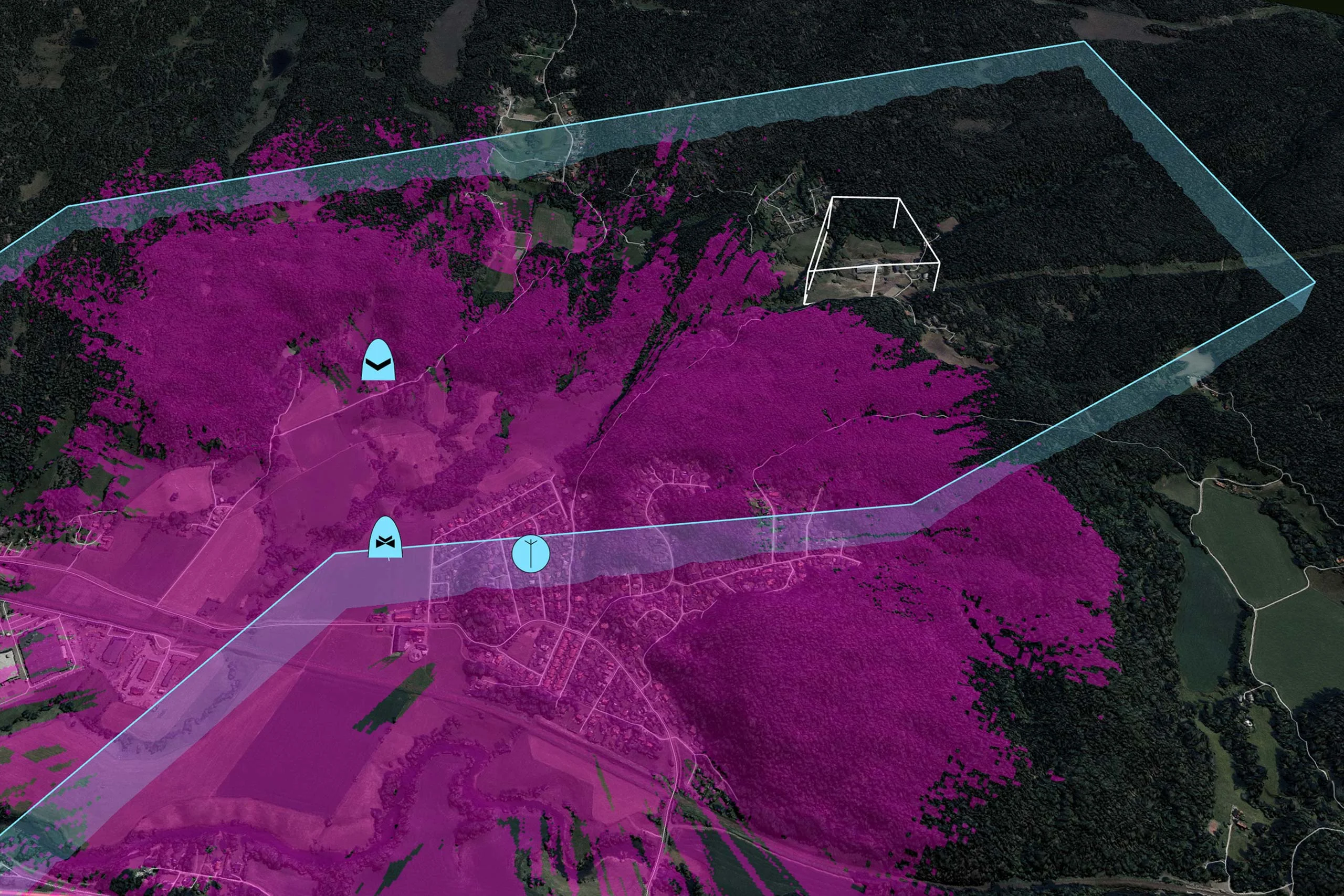
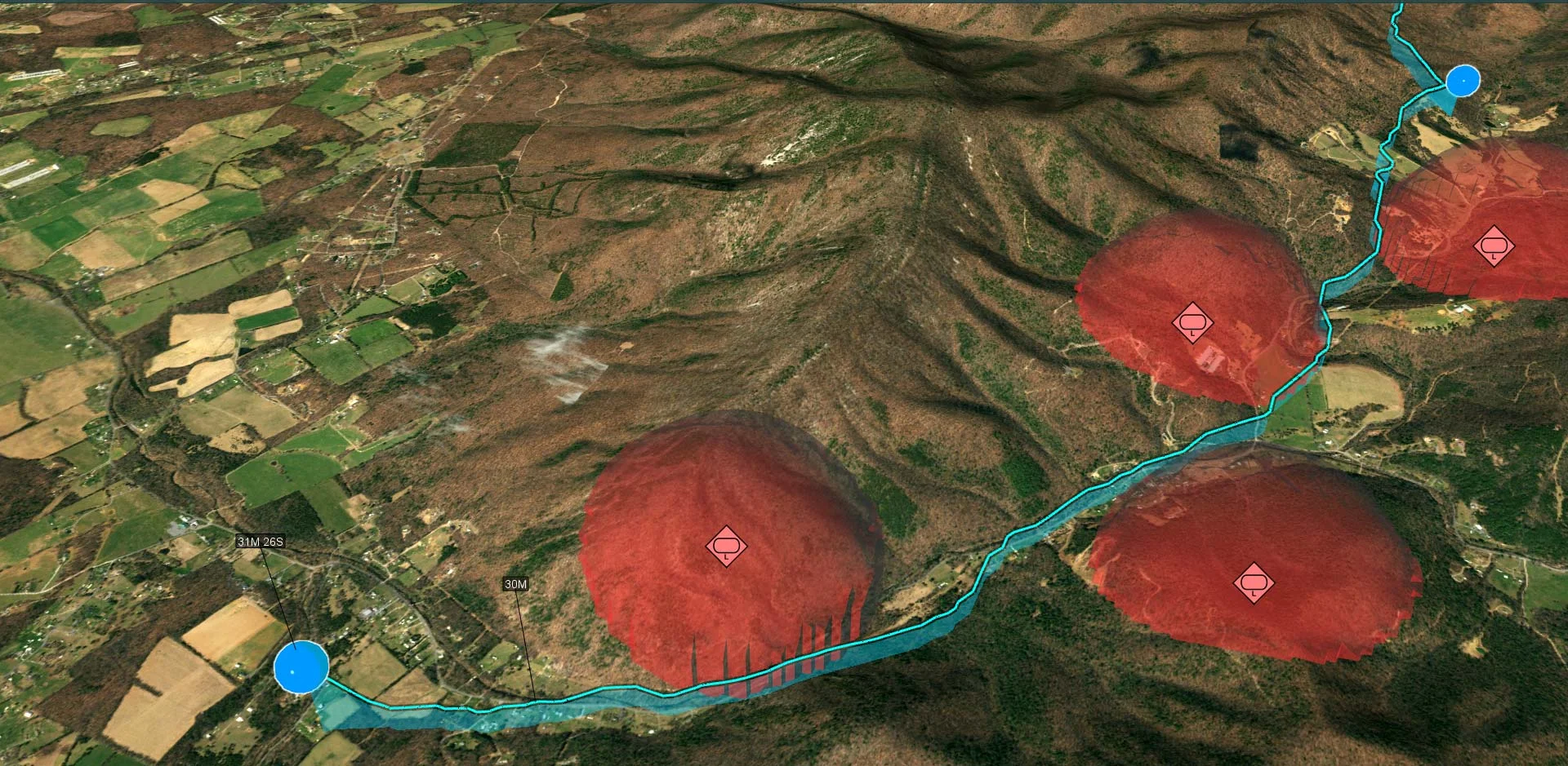
Placement of Observers
Landing Zones
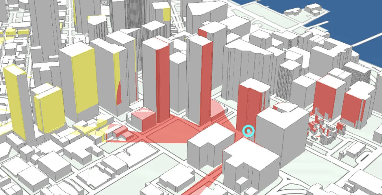
Camera Focused Planning
Geospatial Data from Any Source
Interoperability
Cross-Platform Development
High-Performance Rendering
Military Tactical Overlays
Aeronautical Charts
Nautical Charts
Meteorological Data

Terrain Vehicle Mobility
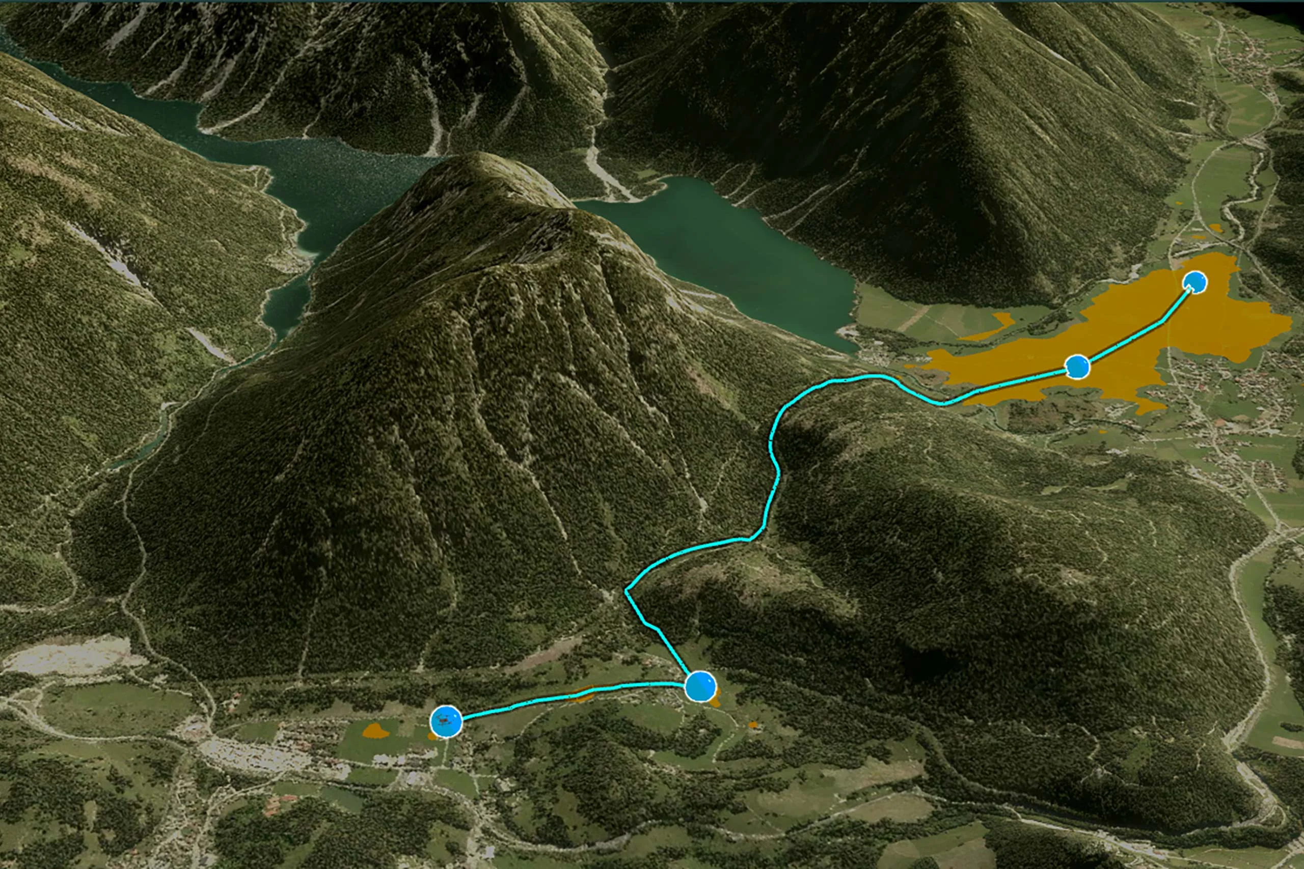
Tactical Drone Routing
Terrain Analysis
Visibility Analysis
Radar Data