Real-Time Situational Awareness in Public Safety

Use geospatial information to enhance your understanding of the situation and ensure that your first-line responders can focus on saving lives.
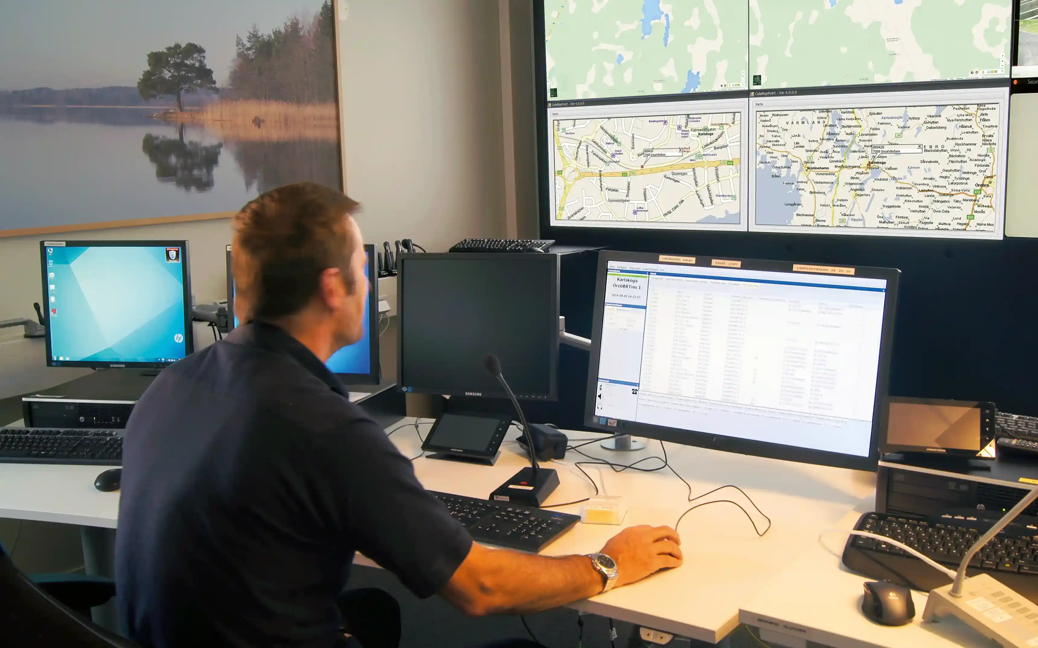
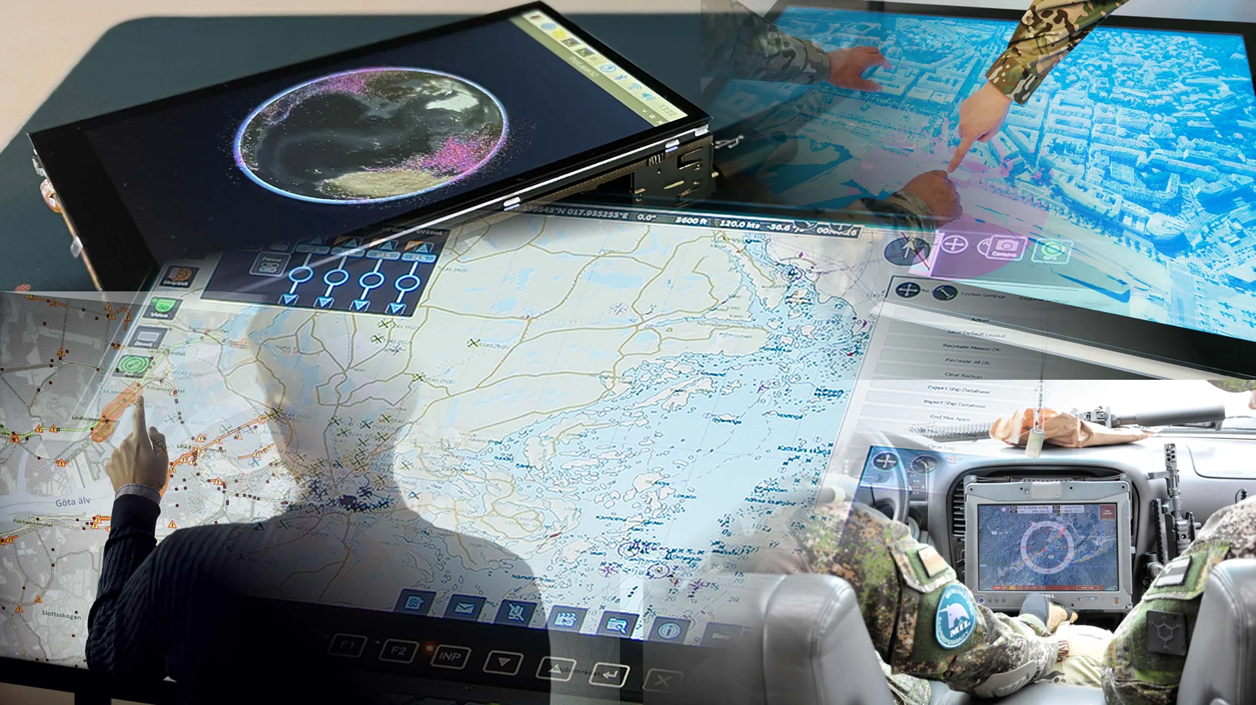
Carmenta has a long history with public safety systems. With Carmenta technology, you can combine several live data feeds to ensure you have an up-to-date view of your area of interest, and enhance your understanding of the situation.
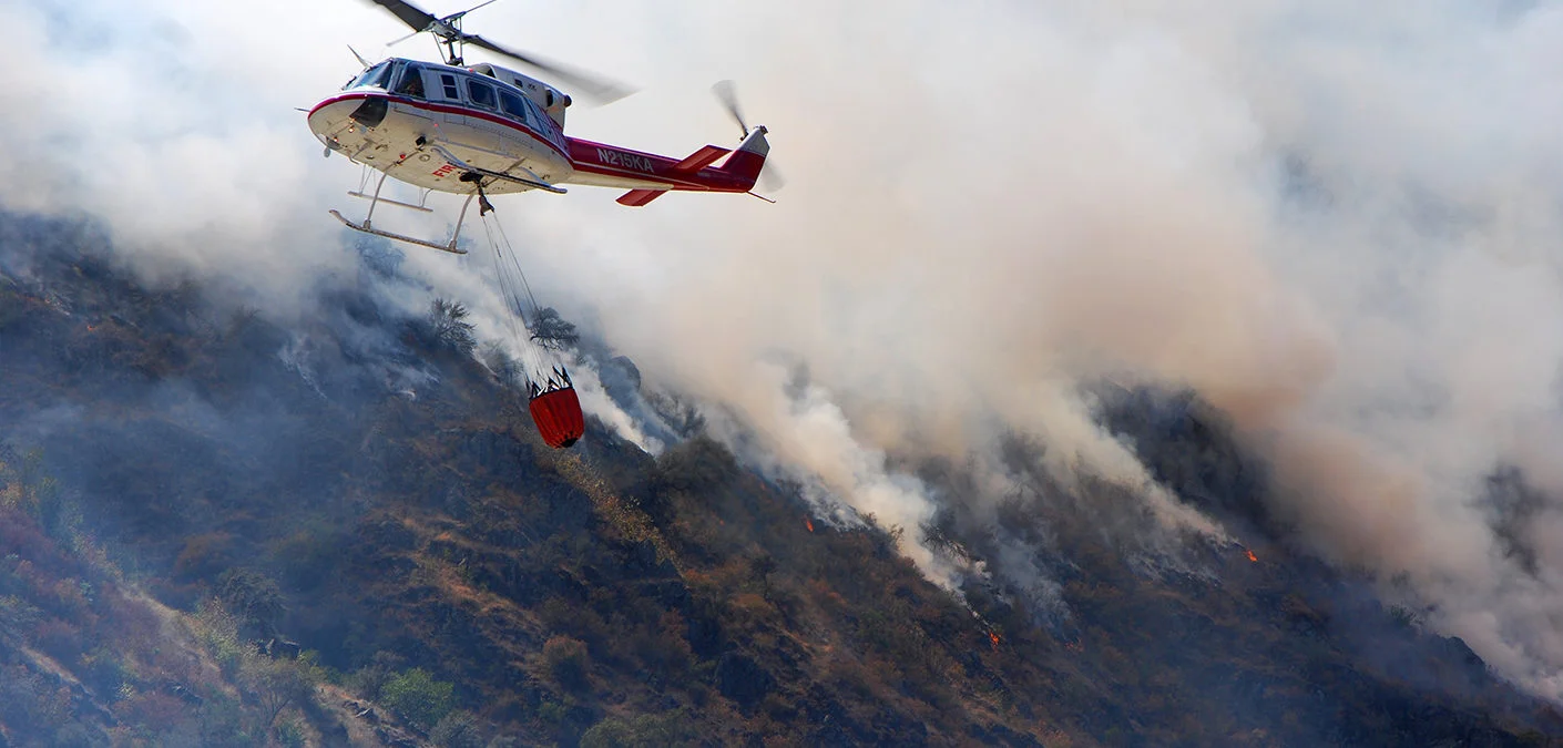
All functionality can be used in real-time thanks to our class leading performance, ensuring that your first-line responders get all the support they need.

Carmenta technology is operationally deployed in some of the world’s most demanding environments. You can be sure that it will be up to the task when it really matters.
Easily integrate dynamic information from many different sources in the interactive map display.
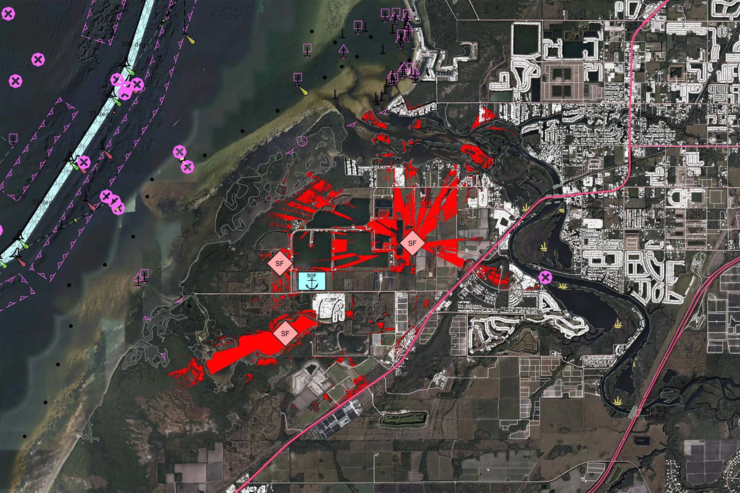
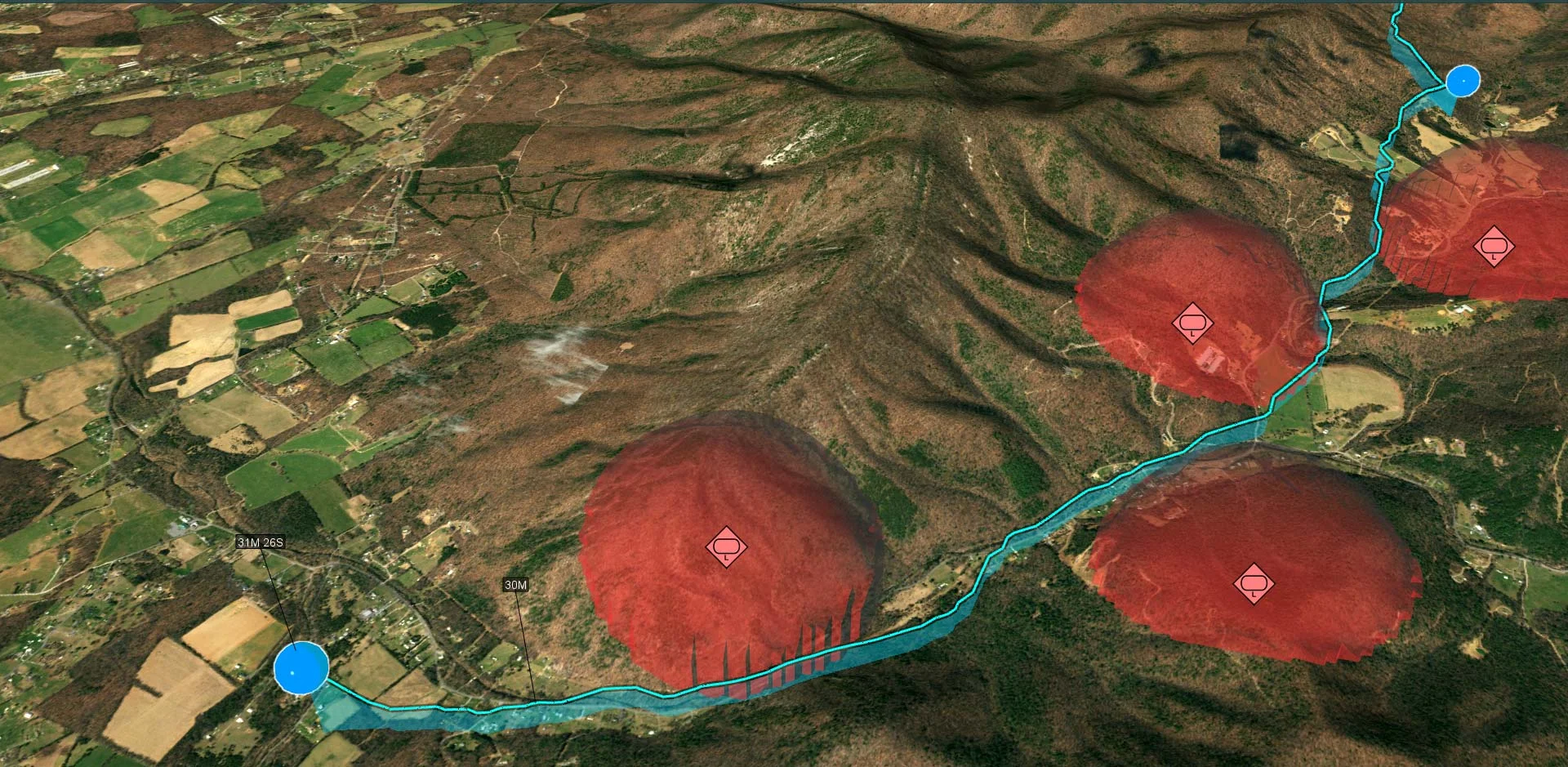
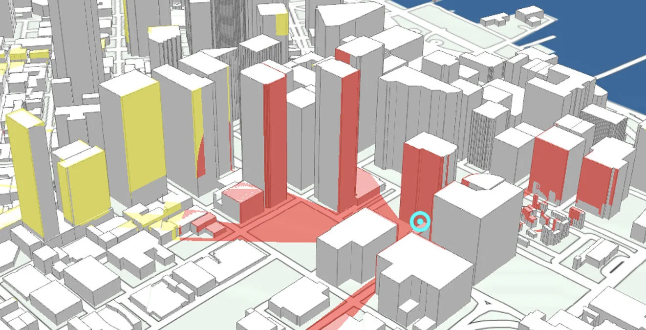
Leverage data from surveillance cameras and overlay drone video to improve the situational awareness.
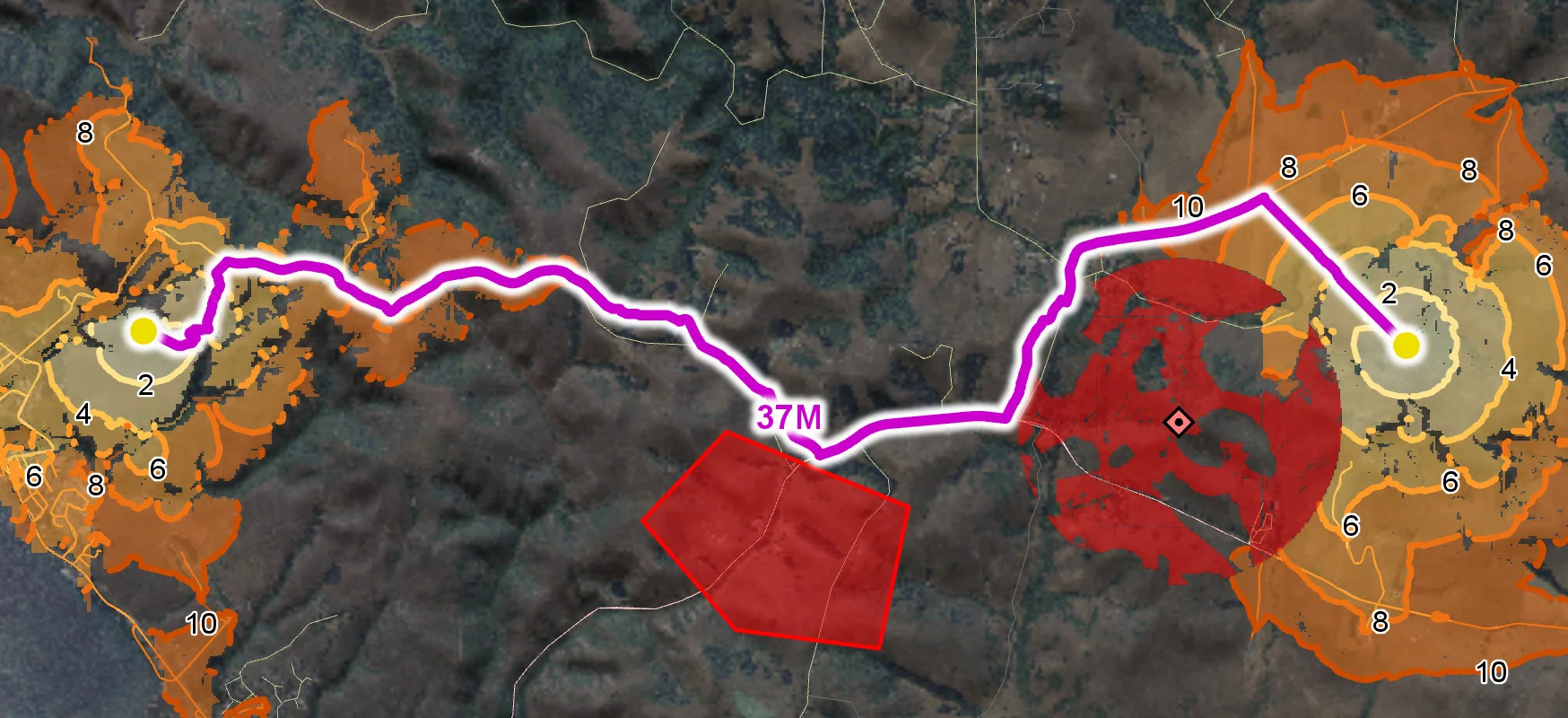
Carmenta’s geospatial visibility analysis can help you optimally place surveillance cameras and plan routes for drones.

Are you ready to see how our products can transform your work? Request a free trial today and explore the full potential of our geospatial technology.
Please specify which product/products you are interested in.
This form can be used to request a trial for: