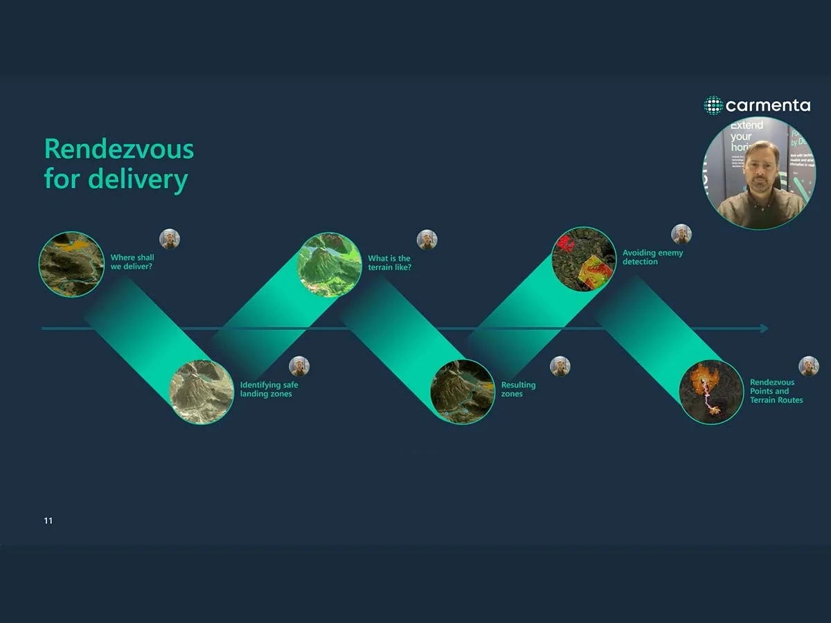
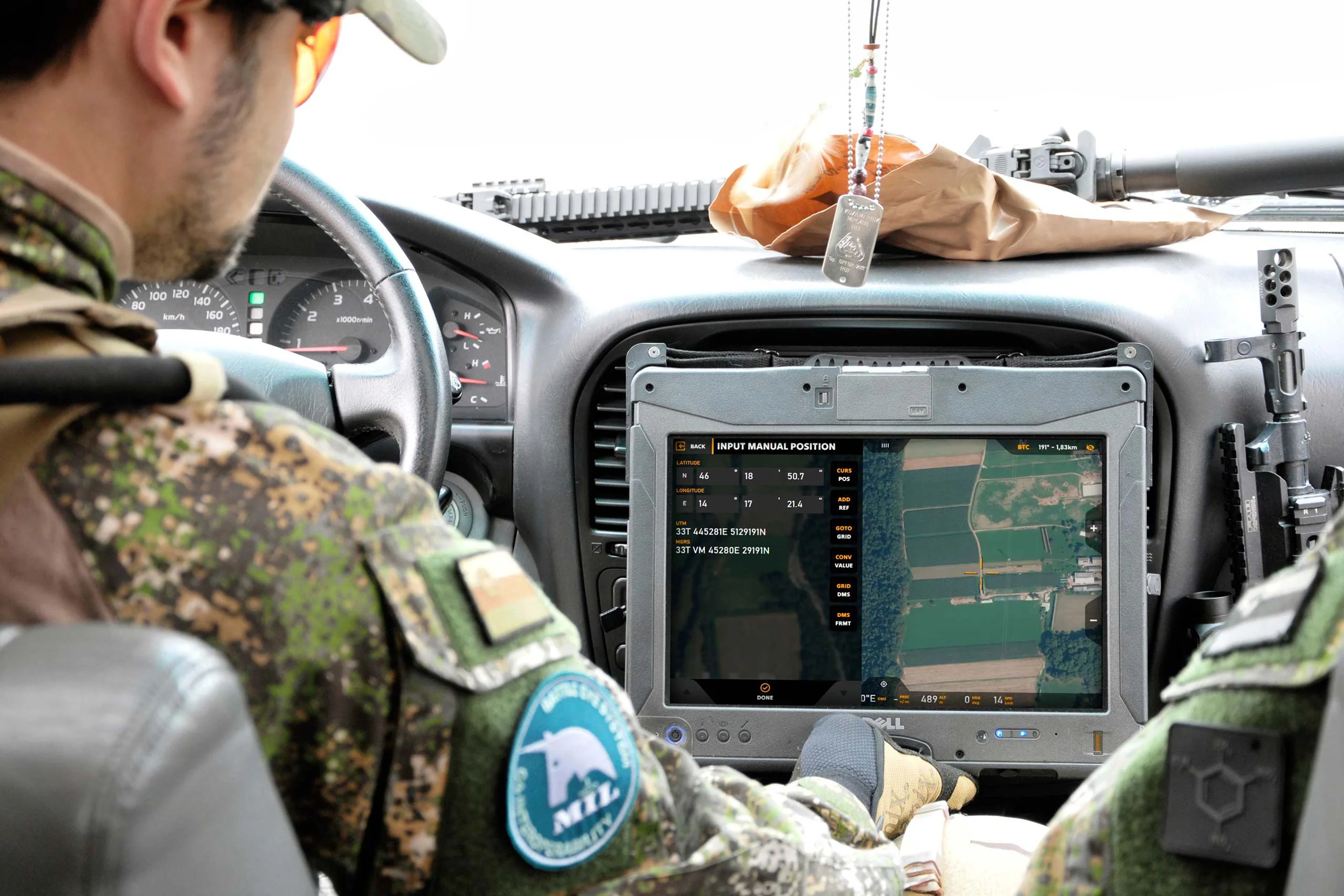
Knowledge Hub

Our commitment to innovation is driven by openness, curiosity, diligence, and support. In this section of our website, we share knowledge and inspiration through various resources, such as master’s theses, whitepapers, and insightful articles.

We have always been pioneers in the geospatial field, unlocking new possibilities to make our technology lighter, faster, smarter, and more flexible. For example, we were among the first to develop a solution for managing large amounts of geographic data, enabling it to run on a PC instead of requiring dedicated graphical workstations. We also led the way in revolutionizing emergency response command and control systems by transitioning from a text-based workflow to a dynamic, map-centric approach.

Master’s Thesis: Enabling geospatial hybrid-collaboration

Master’s Thesis: Enabling geospatial hybrid-collaboration

Collaborative single-display teamwork without any widget or button. A case study using Carmenta Engine. This thesis introduced a new form of interfacing with the Carmenta Engine on touch screen. Its results show that through using the technique of hand chords, several users can work with the one large touchscreen simultaneously.

Read more
Whitepaper: Resupply with UAVs

Whitepaper: Resupply with UAVs

Military last-mile resupply using UAS technology with geospatial analysis. Real-time geospatial analysis for UAVs can be used to cope with dynamic challenges, enhancing situational awareness on the battlefield and supporting both human and autonomous decision-making.

Read more

UAS Safe Landing Zones

Determining safe landing zones is an essential part of many types of UAS missions. Two examples of such UAS missions is delivering supplies to military ops and doing emergency medical delivery.

Read more

Making Visibility Visible

Geographical data can be used to create all sorts of map presentations as synthesized representations of reality. Adding analyses to the process can enhance our perception of this reality.

Read more