Webinar

knowledge

Webinar: Military last-mile resupply using UAS technology with geospatial analysis


Published on: 2025-05-20

Posted in: Carmenta Engine, Defense, Unmanned Systems, Webinars

Military last-mile resupply using UAS technology with geospatial analysis

Watch our on-demand webinar about the evolving role of Uncrewed Aerial Vehicles (UAVs) in military logistics.
Presented by Jonas Envall, Senior Product Director UAS at Carmenta.

In February 2025, Jonas Envall delivered a presentation at XPONENTIAL Europe. That talk is now available as an on-demand webinar. Sign up to get instant access.

What you will learn:

  • The growing importance of UAVs in frontline military resupply, particularly in rapidly changing conditions.
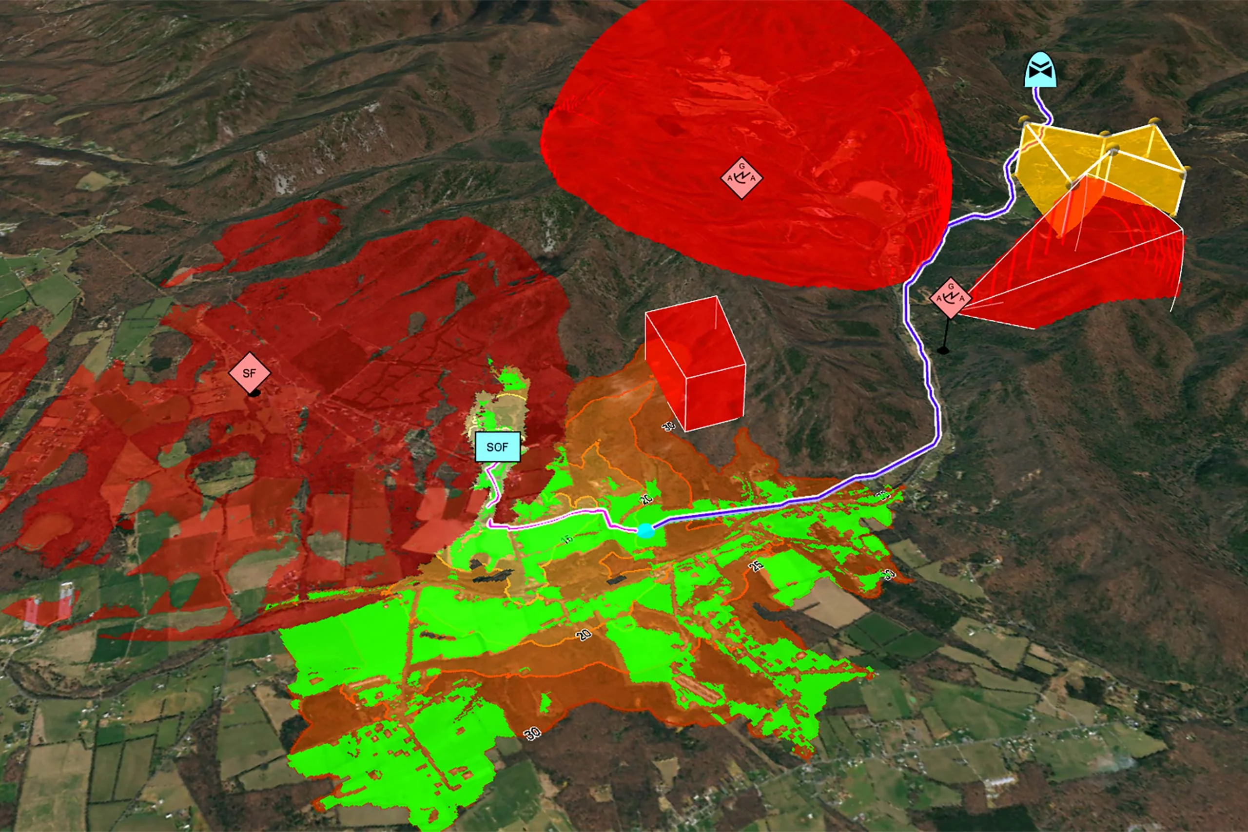
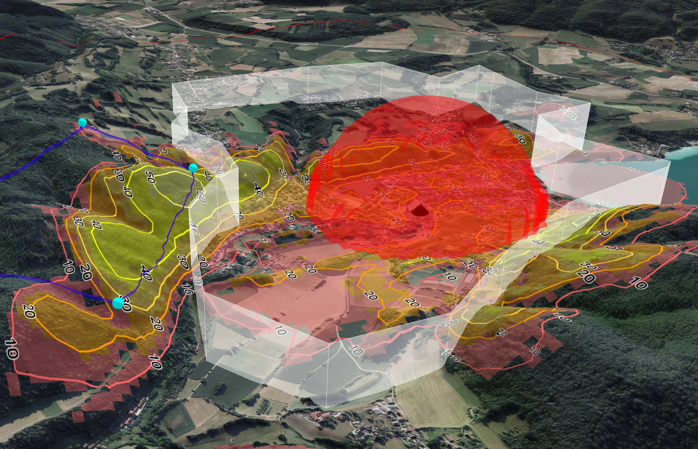
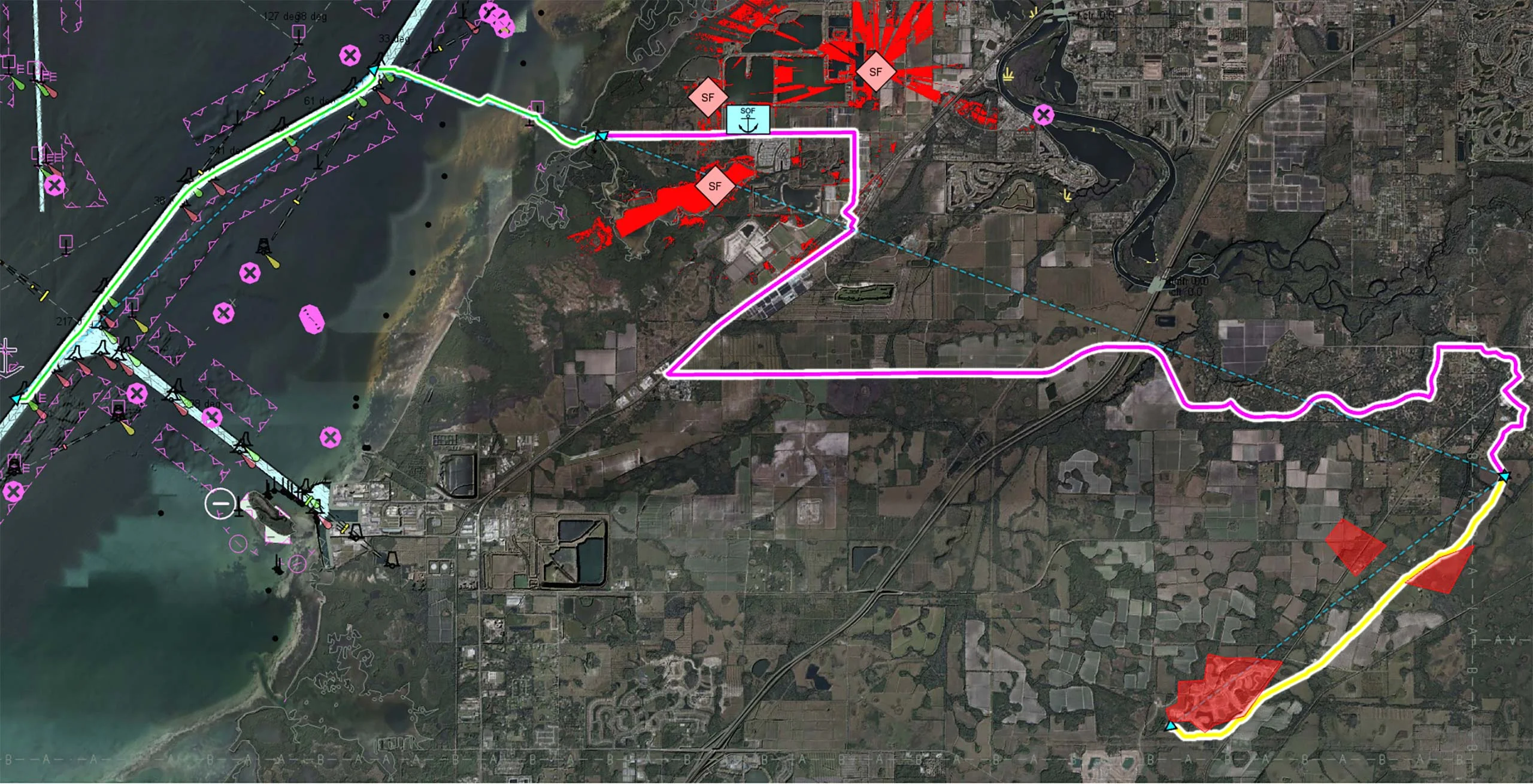
  • How real-time geospatial analysis enables UAVs to safely navigate these dynamic environments, supporting both human and autonomous decision-making.
  • How geospatial insights can increase mission predictability and mitigate risks in the critical “last mile” stage, ultimately boosting resupply success rates.

Sign up now

Read our Whitepaper on Resupply with UAVs

Real-time geospatial analysis for UAVs can be used to cope with dynamic challenges, enhancing situational awareness on the battlefield and supporting both human and autonomous decision-making.

Resupply with UAVs Whitepaper

Related knowledge

The image shows a map of a coastal area. It shows a cross-domain UxS scenario with a USV route shown in green, a UGV route shown in pink and a UAV route shown in yellow.

Uncrewed Military Mobility Across All Domains

Multi-domain operations demand a high degree of interoperability, real-time responsiveness, and adaptive decision-making across diverse and often contested environments. Discover how Carmenta technology enables seamless coordination of uncrewed systems (UxS) across land, air, and sea in modern multi-domain operations.

Read more