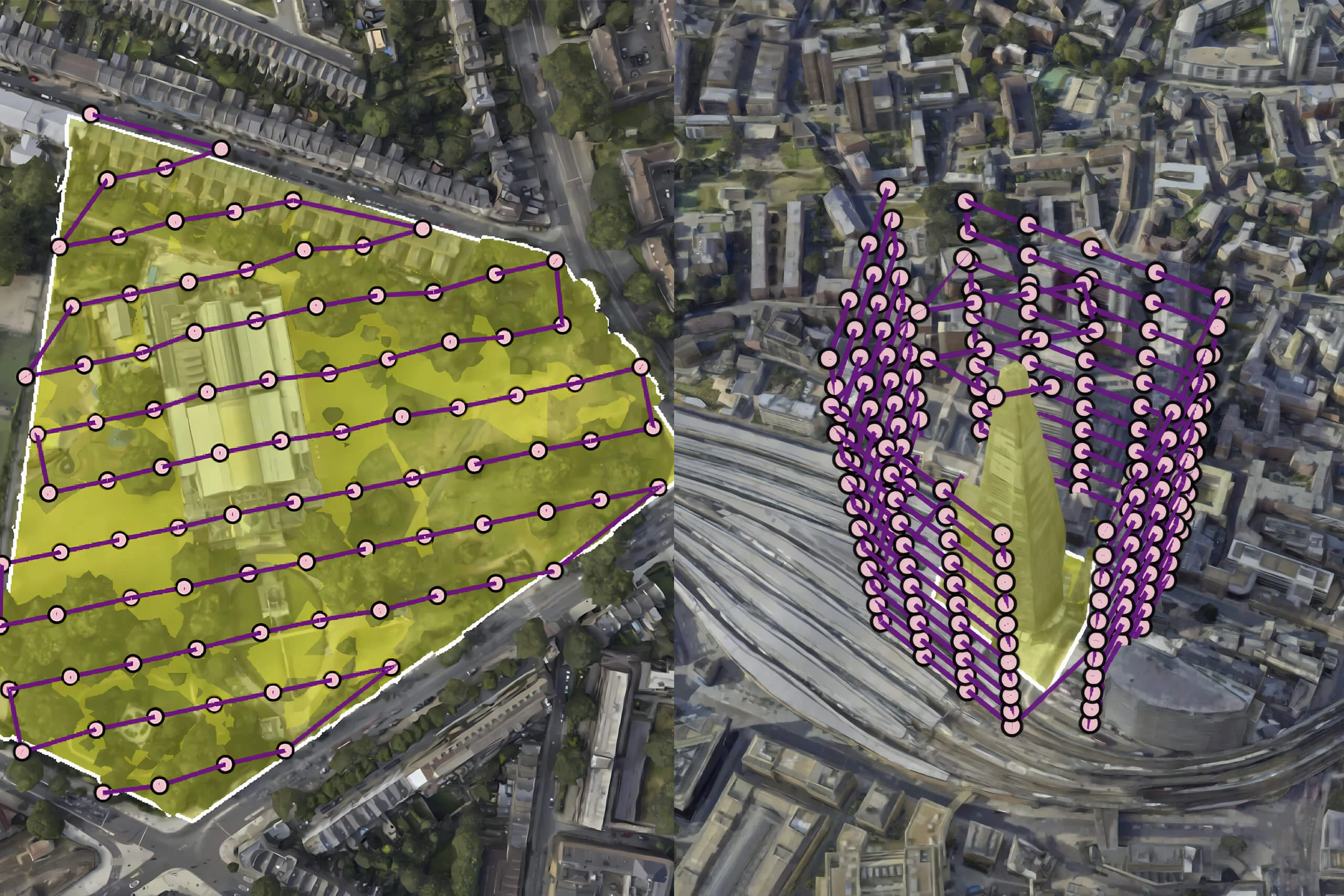
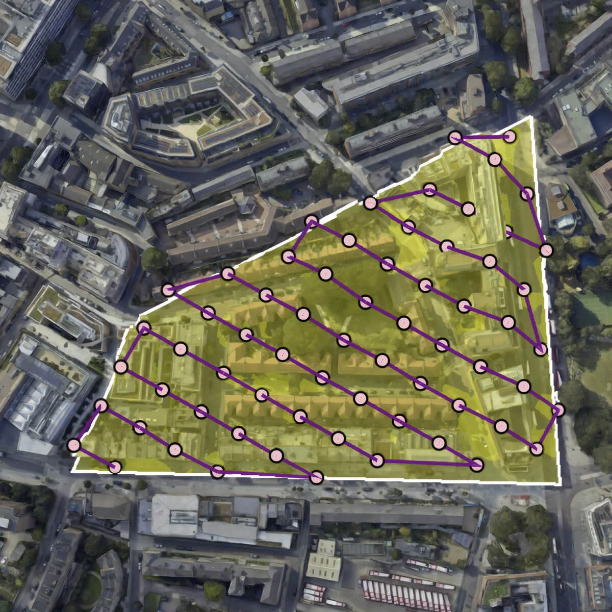
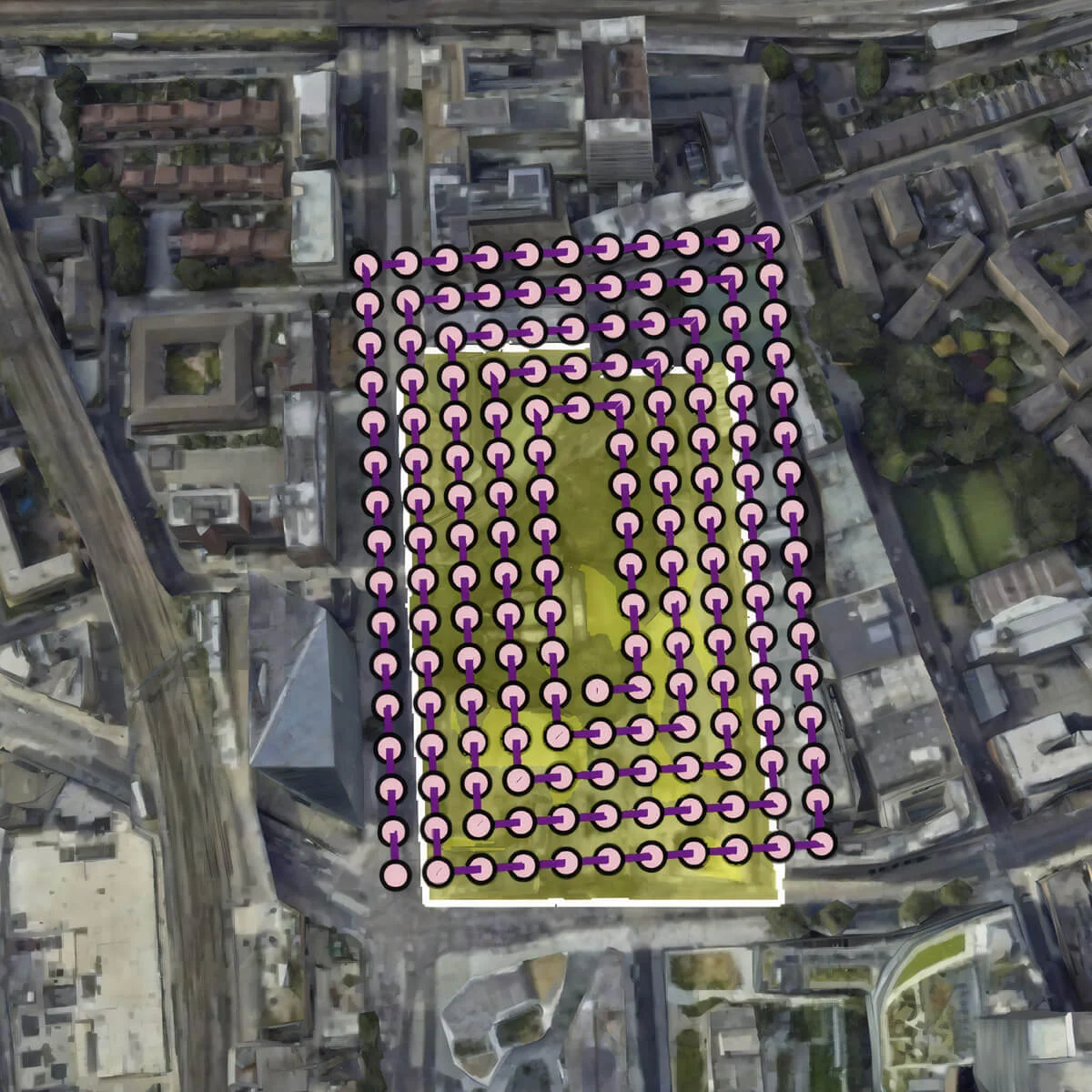
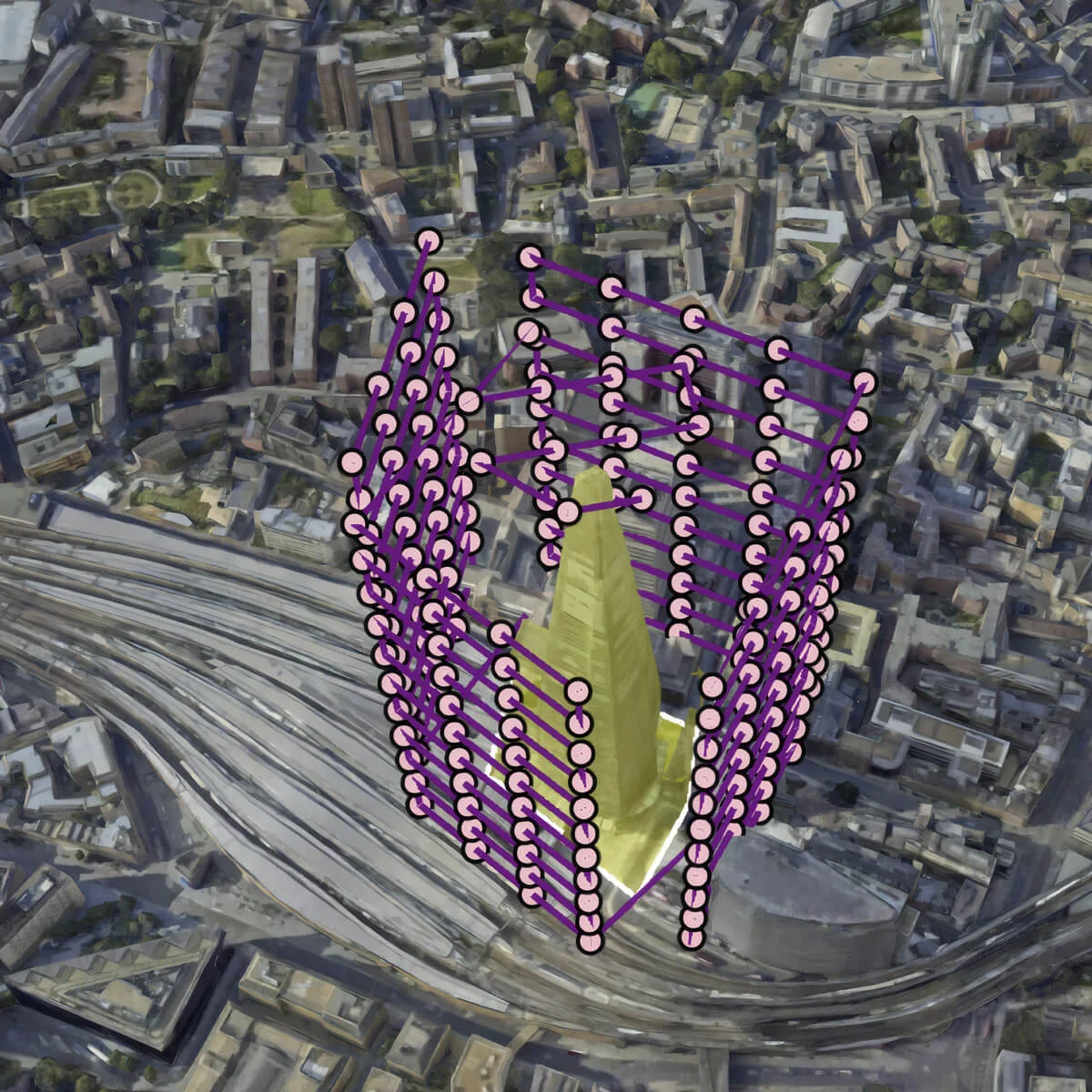
Terrain Challenges
Flight patterns need to consider elevation changes across survey areas. Basic photogrammetry for general mapping can handle some resolution loss when flying at the same altitude over hills, but precision inspection tasks can’t. For crop analysis, inspecting infrastructure, or spotting defects, uneven image resolution reduces accuracy and can lead to missing important details.
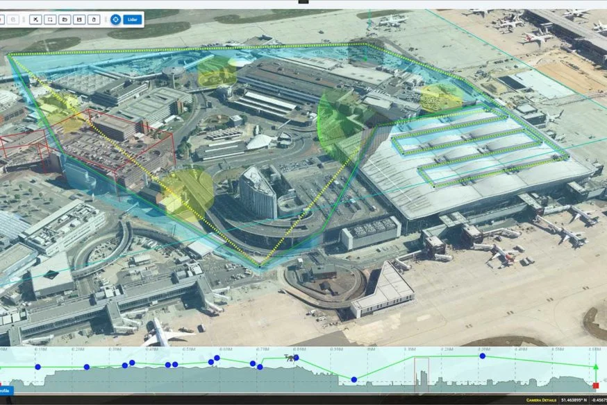
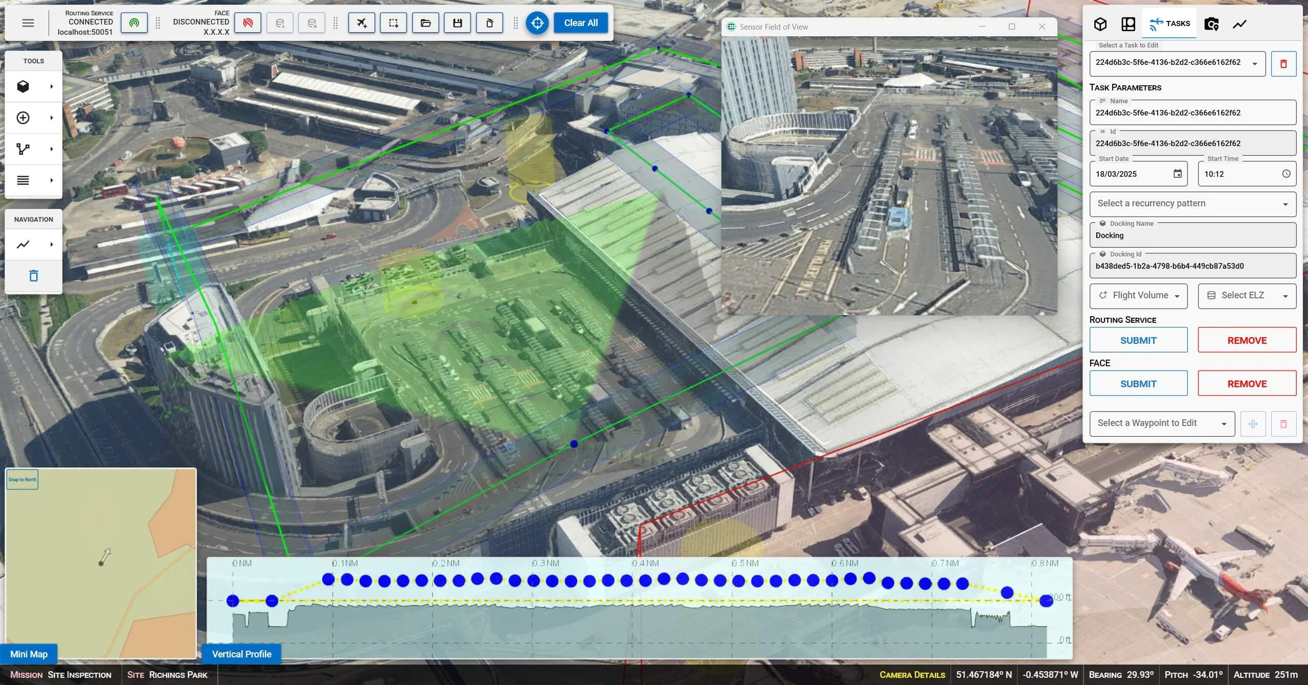
Modern systems solve this with terrain-following algorithms that maintain consistent height above ground rather than constant altitude. This creates flight paths that adjust to the landscape, ensuring consistent image quality despite elevation changes.
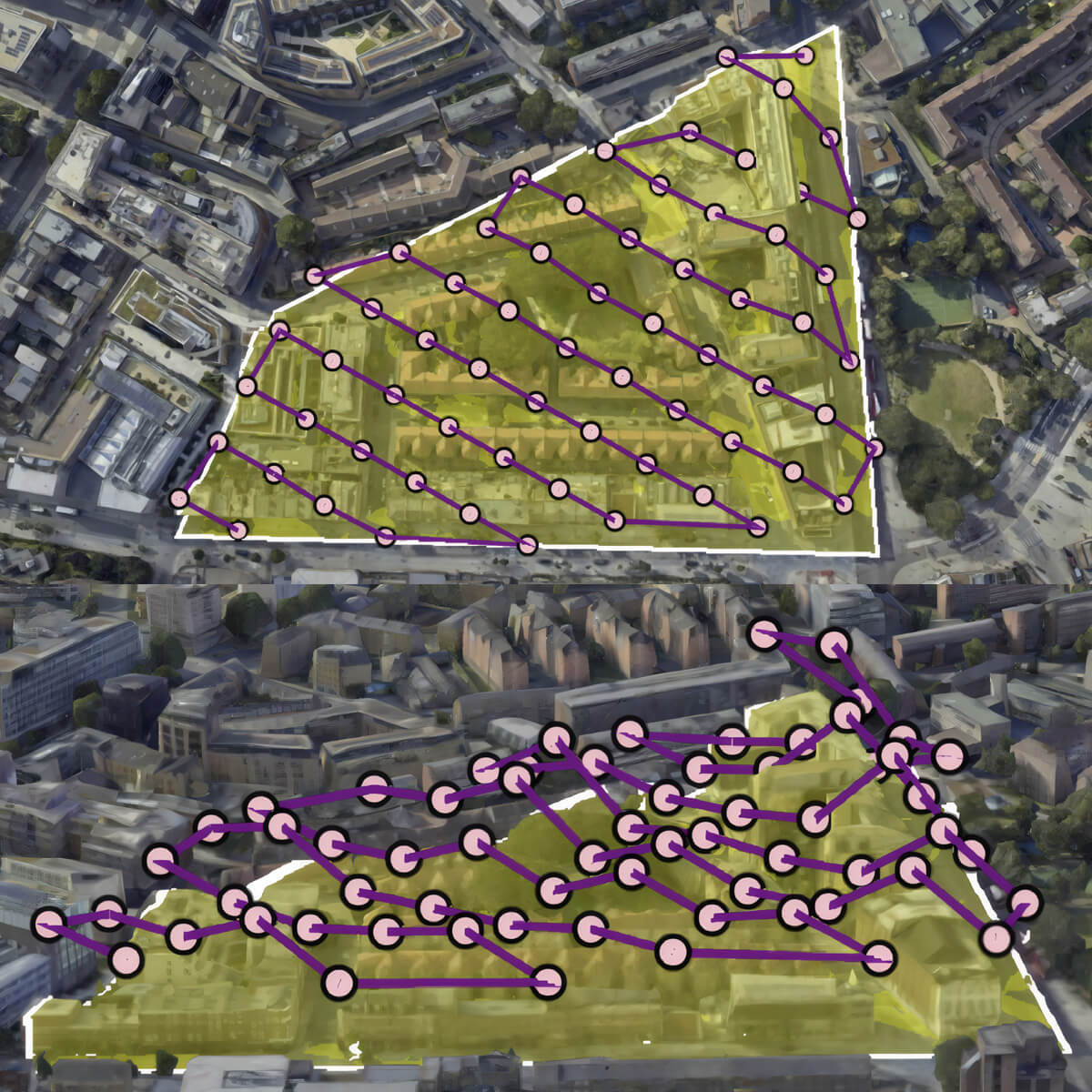
Terrain-adaptation is what separates professional-grade systems from basic planning tools.
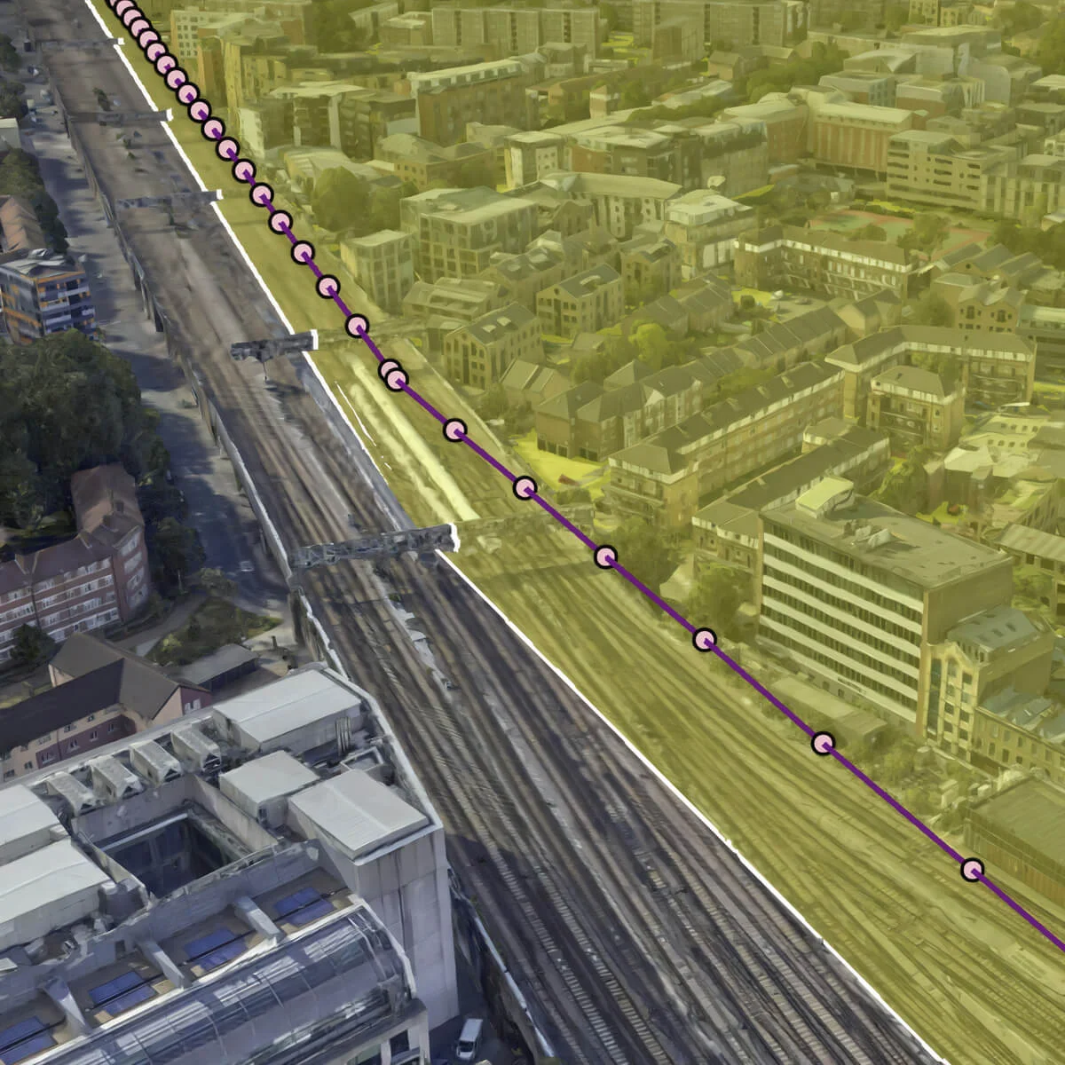
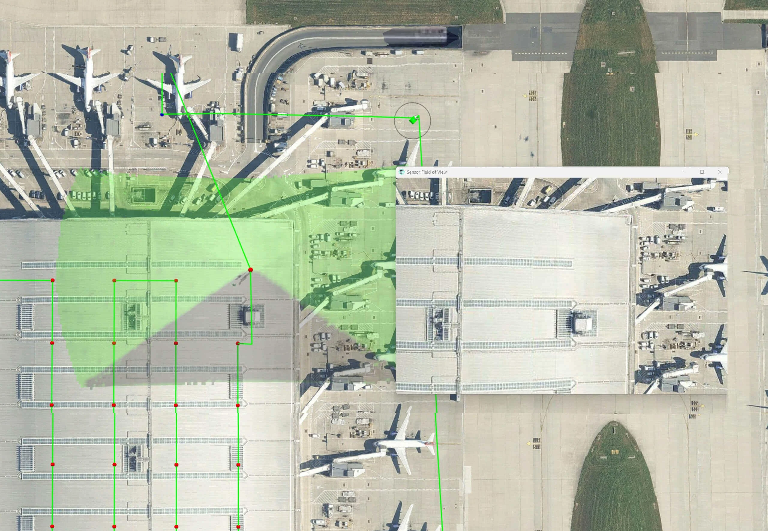
Another critical challenge is line-of-sight verification. When inspecting structures, obstacles can block camera views. Advanced pattern generators analyze terrain and structures to verify visibility before finalizing flight paths, avoiding wasted flights that capture only obstructions.