Next Post
Tactical Graphics definition in Carmenta Engine
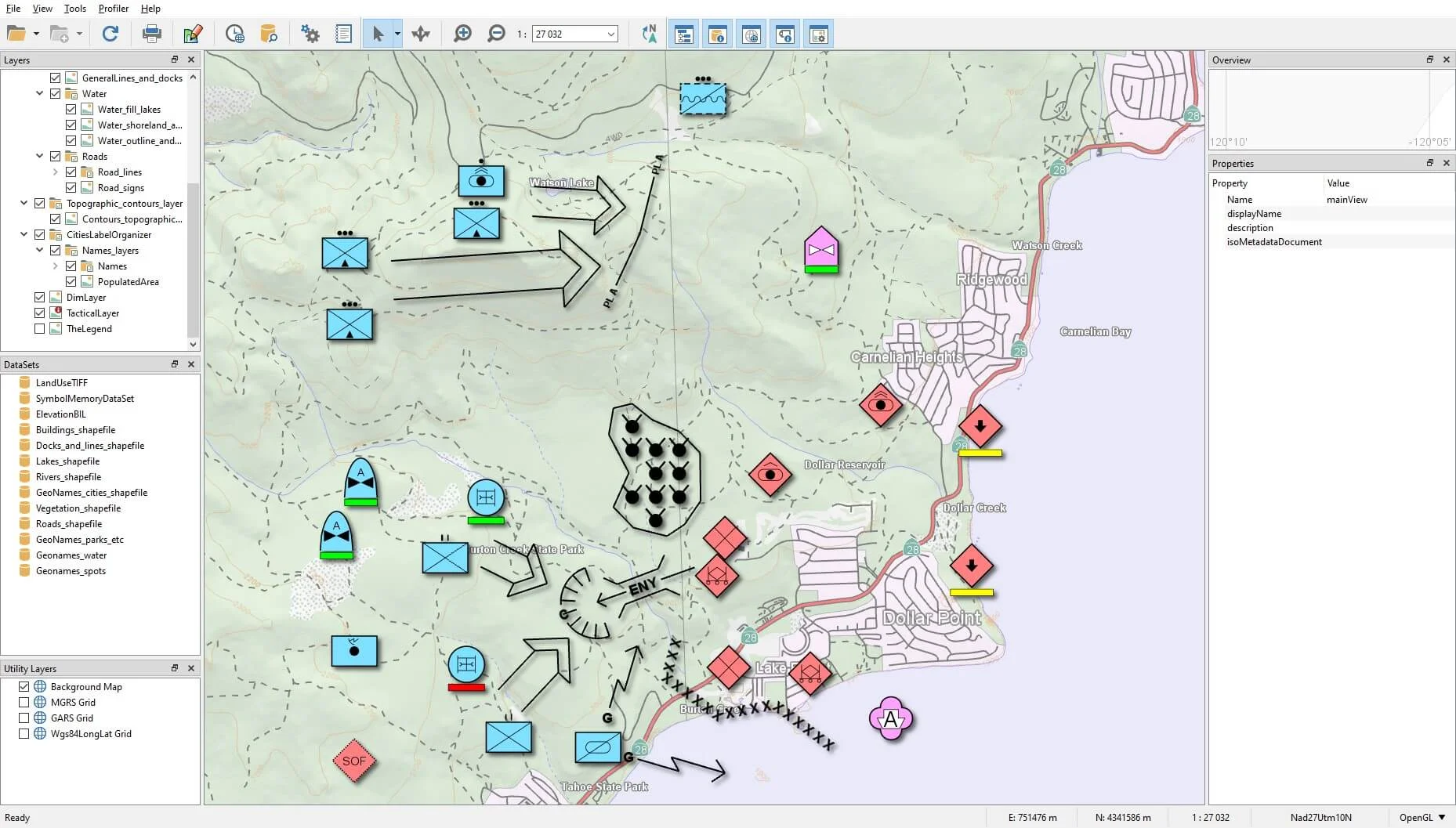
Following on from the article Getting started with the tactical symbology in Carmenta Engine, we will explore how to set up your application to support tactical graphics.
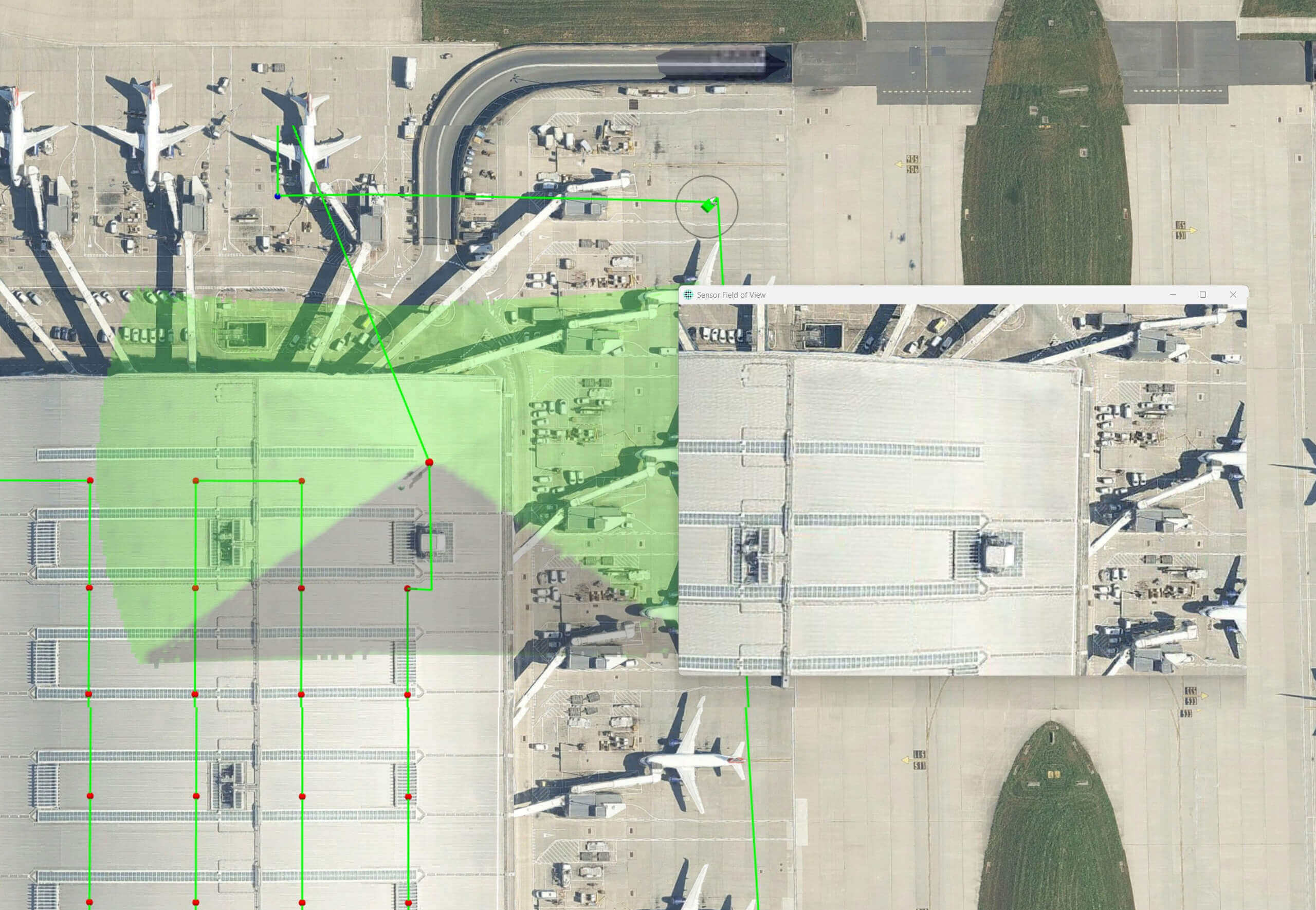
View PostLine of Sight (LOS) analysis is critical for effective drone operations, particularly when capturing imagery for inspection or mapping. Building on our knowledge hub article: Mapping the Skies: The Science of Survey Patterns, this technical deep-dive examines how Carmenta Engine’s line-of-sight capabilities enhance flight pattern generation for uncrewed aerial systems.
While our previous exploration covered pattern types and terrain challenges, here we focus specifically on the visibility analysis to ensure that each waypoint is correctly placed and allows to capture usable data.

When planning drone surveys, ensuring the camera has an unobstructed view of target areas is essential. Obstacles, terrain variations, and structures can block visibility, leading to incomplete or unusable data. Traditional flight planning without LOS verification often results in:
The LineOfSightOperator in Carmenta Engine provides comprehensive visibility analysis that can be integrated into flight pattern generation. This operator calculates viewsheds from specified observer points, determining what areas are visible from each position.
public static LineOfSightOperator CreateDronePatternLosOperator(Operator elevationInput, Point dronePositionWgs84LatLong)
{
    // Create a new LineOfSightOperator
    LineOfSightOperator losOperator = new();

    // Set the elevation input in the LineOfSightOperator
    losOperator.ElevationInput = elevationInput;

    // Create a MemoryDataSet for the drone observer position
    MemoryDataSet observerDataSet = new MemoryDataSet(Crs.Wgs84LongLat);

    // Add the MemoryDataSet as ObserverInput to the LineOfSightOperator
    losOperator.ObserverInput = new ReadOperator(observerDataSet);

    // Create a point Feature at the drone's position
    Feature observerFeature = new Feature(
    new PointGeometry(dronePositionWgs84LatLong), Crs.Wgs84LongLat);

    // Add the observer feature to the MemoryDataSet
    observerDataSet.Insert(observerFeature);

    // Configure for airborne drone operations
    losOperator.CarrierType = CarrierType.Airborne;

    // Set camera field of view parameters (typical for survey drones)
    losOperator.PictureWidth = 80.0; // Horizontal FOV in degrees
    losOperator.PictureHeight = 60.0; // Vertical FOV in degrees
    losOperator.PictureElevation = -90.0; // Nadir view for mapping (straight down)

    // Configure height references for drone operations
    losOperator.ObserverHeightType = HeightType.AboveGround;
    losOperator.MinVisibilityHeightType = HeightType.AboveGround;

    // Set the effective range based on camera capabilities
    losOperator.MaxDistance = 100.0; // 100m effective range for detailed inspection
    losOperator.MaxDistanceType = DistanceType.ThreeDimensional;

    // Enable outputting visibility heights to determine if targets are visible
    losOperator.OutputMinVisibilityHeights = true;

    return losOperator;
}
When generating flight patterns, LineOfSightOperator can be used to:
For example, in an infrastructure inspection pattern:
// Pattern generation with LOS integration
PointCollection patternPoints = new();
MemoryDataSet observerDataSet = new MemoryDataSet(Crs.Wgs84LongLat);
LineOfSightOperator losOperator = CreateDronePatternLosOperator(elevationInput, startPosition);
losOperator.ObserverInput = new ReadOperator(observerDataSet);

// For each potential waypoint around a structure
foreach (var position in calculatedPositions) {
    // Clear previous observer points
    observerDataSet.Clear();

    // Calculate direction from drone to target
    double bearing = CalculateBearing(position, target);

    // Update LOS parameters for this position
    losOperator.PictureDirection = bearing;

    // Create and add new observer at this position
    Feature observerFeature = new Feature(new PointGeometry(position), Crs.Wgs84LongLat);
    observerDataSet.Insert(observerFeature);

    // Get visibility analysis result
    Feature visibilityResult = losOperator.GetRasterFeature();
    bool hasLos = DetermineVisibility(visibilityResult, target);

    // Only add waypoints with clear visibility
    if (hasLos) {
        patternPoints.Add(position);
    }
}
Different survey patterns benefit from LOS analysis in specific ways, for example,
losOperator.TreeHeightInput = treeHeightRasterOperator;losOperator.Refraction = 0.13; // Standard refraction coefficientlosOperator.SecondPictureBackwards = true; // Look backward as wellFor missions where regulations require the drone to remain within visual line of sight of the operator, LineOfSightOperator can:
For BVLOS operations, which are increasingly permitted with proper risk mitigation, LineOfSightOperator can support:
LineOfSightOperator thus becomes a critical tool not just for data collection quality but for regulatory compliance and safety in drone operations, enabling increasingly sophisticated missions while maintaining appropriate risk management.
Integrating Carmenta Engine’s LineOfSightOperator into drone flight pattern generation transforms what would otherwise be geometric path planning into terrain-aware, obstacle-avoiding intelligent flight routes. This capability ensures complete coverage, optimal image quality, and efficient flight paths, ultimately delivering more reliable data collection with fewer flights.
As drone regulations evolve to permit more complex operations, particularly in BVLOS scenarios, line-of-sight analysis will become increasingly important not just for data quality but for operational safety and regulatory compliance. The robust visibility modeling provided by tools like LineOfSightOperator will be essential in enabling the next generation of sophisticated drone operations across industries.

Following on from the article Getting started with the tactical symbology in Carmenta Engine, we will explore how to set up your application to support tactical graphics.
View Post
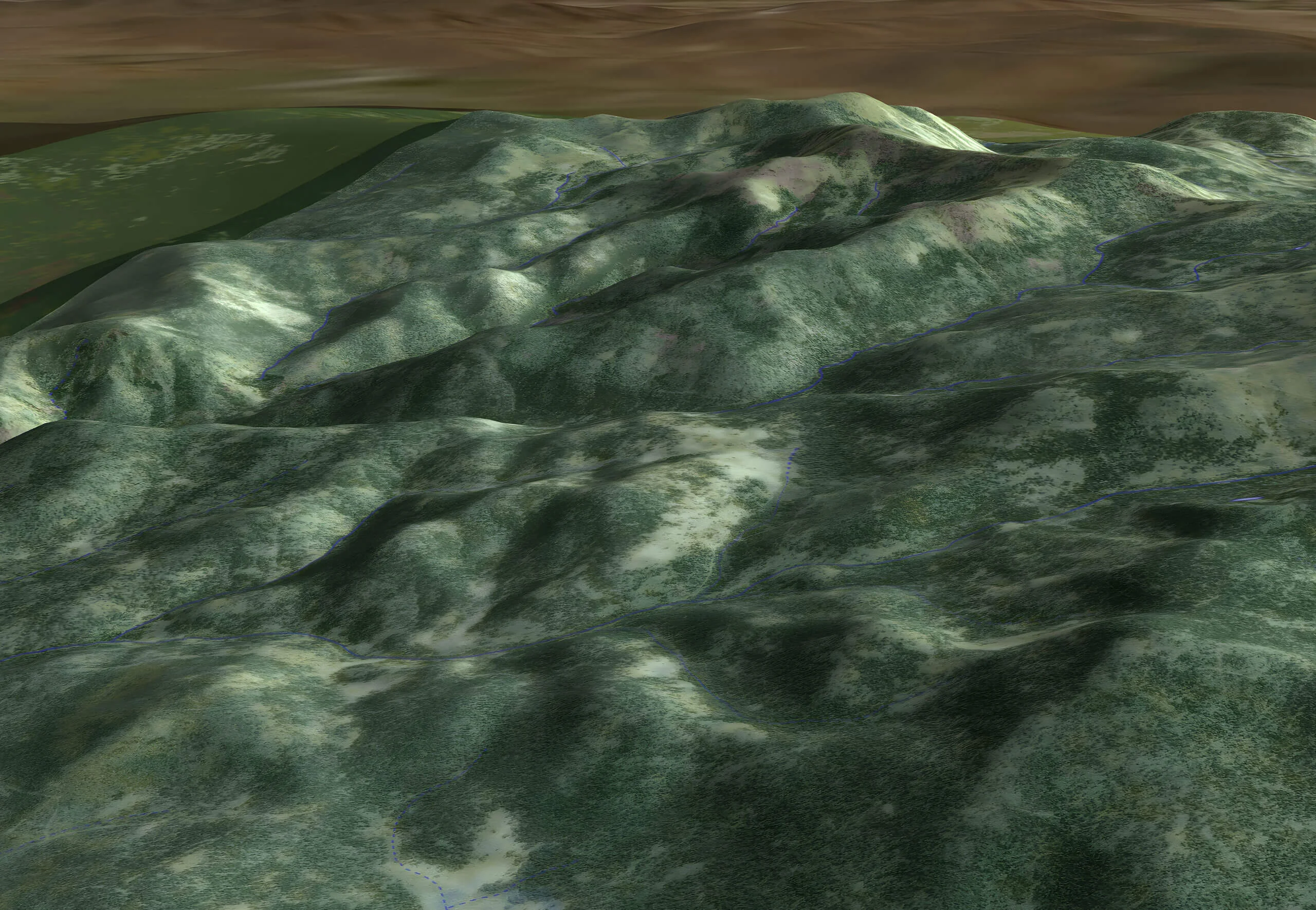
Explore various methods to handle object altitudes in Carmenta Engine, including GlobeView.GroundAt, ElevationOperator, and OffsetOperator, with best-use scenarios.
View Post