Interoperability

At Carmenta, interoperability is not an afterthought – it is at the core of how we design our products. We know that a system’s operational success is in many cases determined by how well it can interoperate with other systems in the field.
Our products do not use any proprietary storage mechanisms – we access the data in its original format, be it a local file, a geospatial database or a web service connection.
A Comprehensive Set of Standards
Carmenta Server implements a comprehensive set of standards defined by OGC®, the Open Geospatial Consortium, as well as military profiles defined by DGIWG, the Defense Geospatial Working Group.
Carmenta Engine, our geospatial SDK, can natively consume data from these and many other kinds of services. The SDK includes Carmenta Tile Engine: A lightweight, robust, easily deployable map tile server that supports the next generation OGC API standards.
More than 100 Different Data Formats
Additionally, our market leading support for more than 100 different data formats, including industry standards from organizations such as NATO, IHO, Eurocontrol and FAA, means that file based data exchange is straightforward.
Our product management team is in frequent contact with our customers to ensure that our product suite meets current and future interoperability requirements.
Develop More in Less Time
Leveraging an SDK does not only accelerate the development process and cut costs, it also increases application robustness and reliability.
Related Features
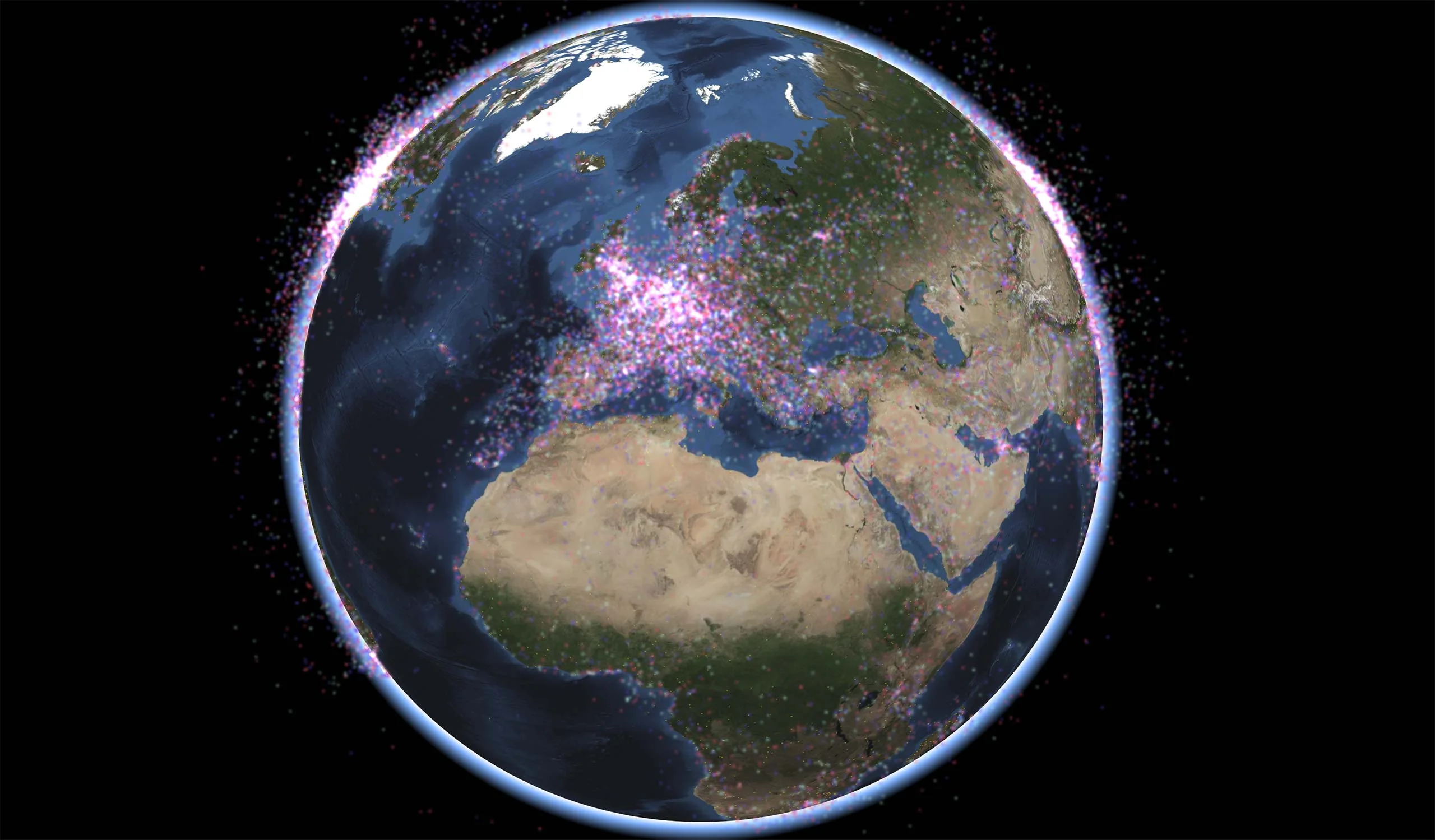
Geospatial Data from Any Source
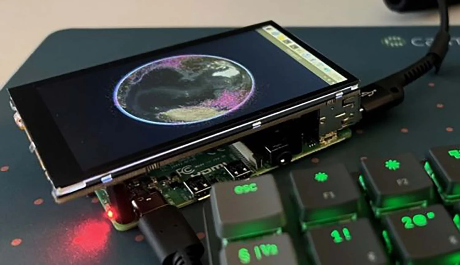
Cross-Platform Development
High-Performance Rendering
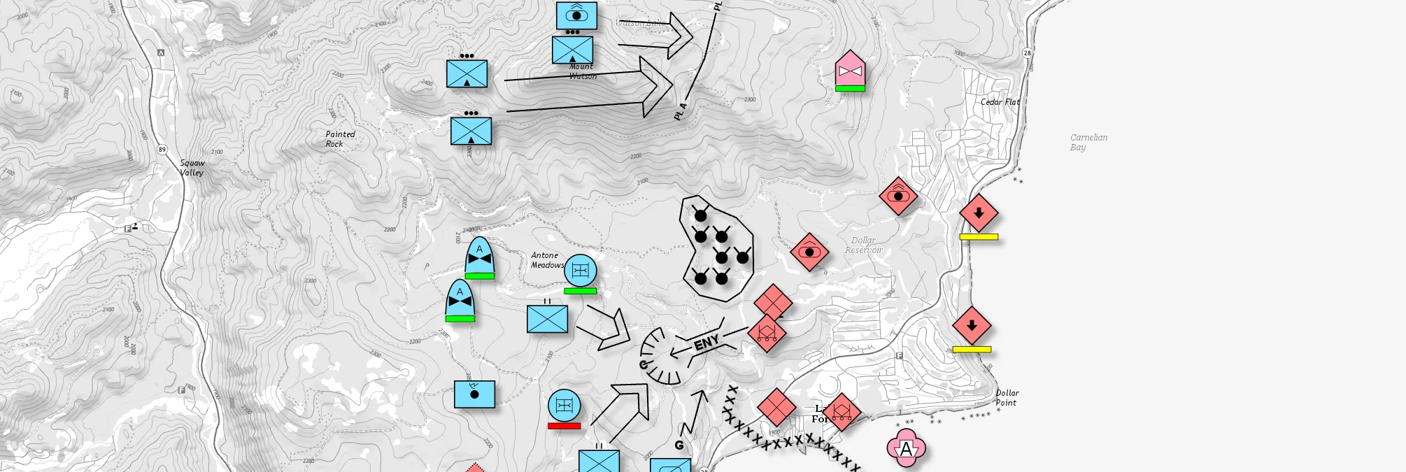
Military Tactical Overlays
Georeferenced Video

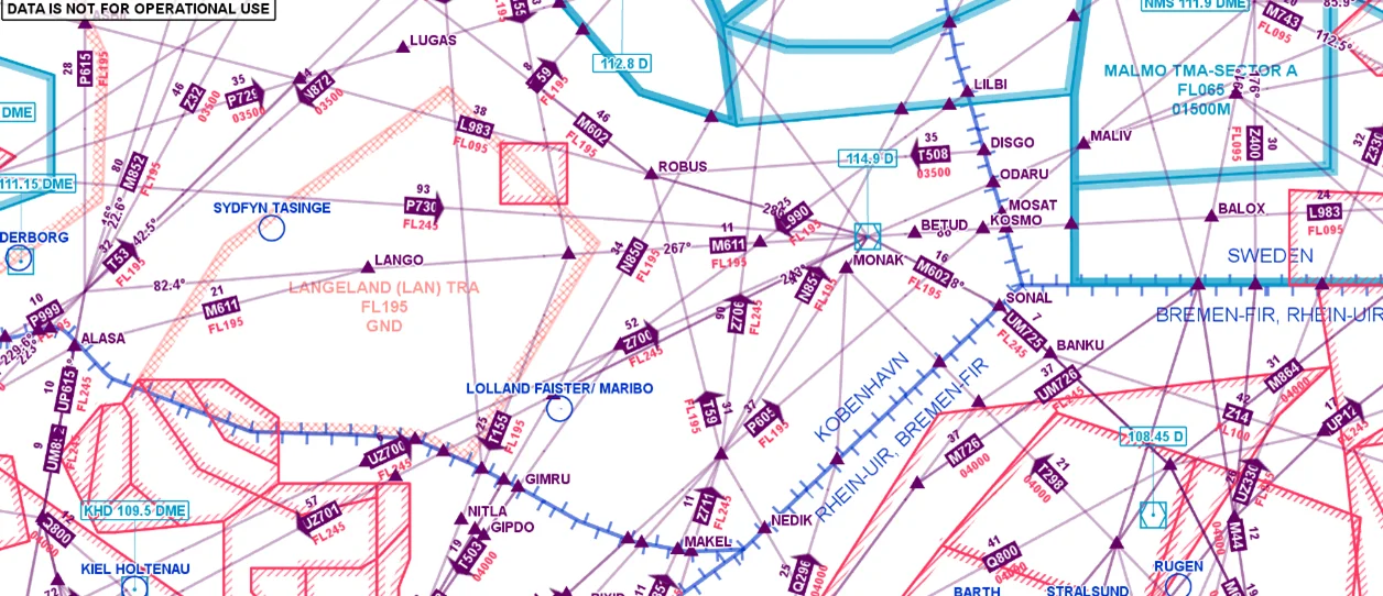
Aeronautical Charts
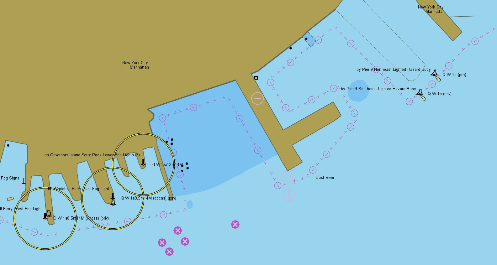
Nautical Charts
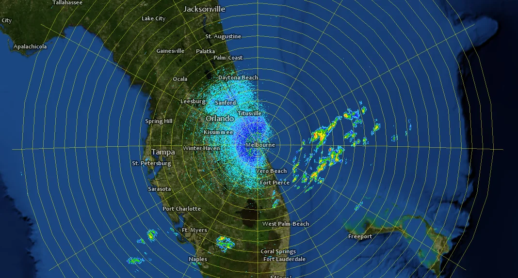
Meteorological Data

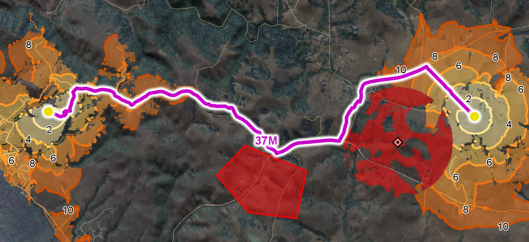
Terrain Vehicle Mobility
Tactical Drone Routing
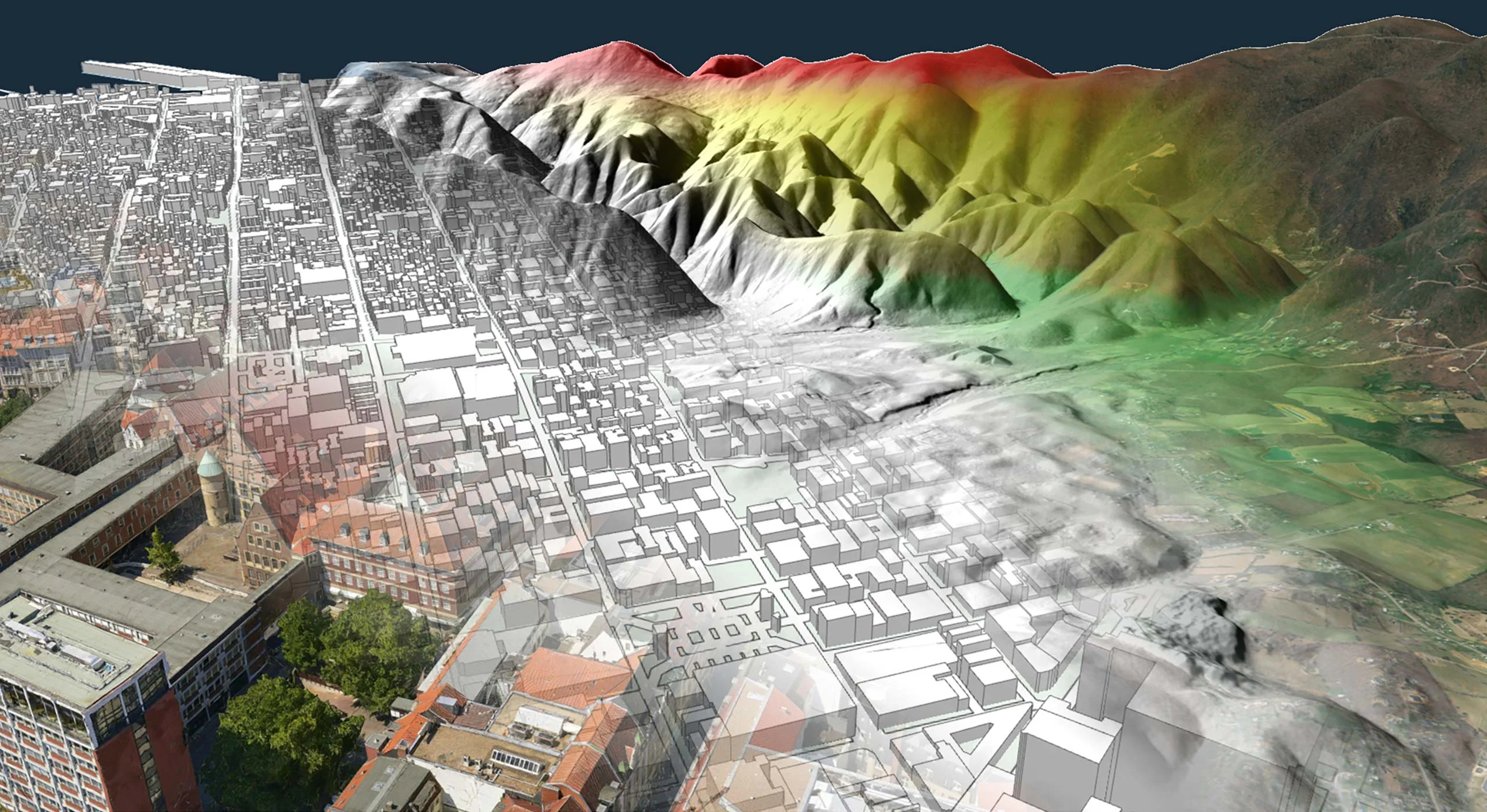
Terrain Analysis
Visibility Analysis

Radar Data