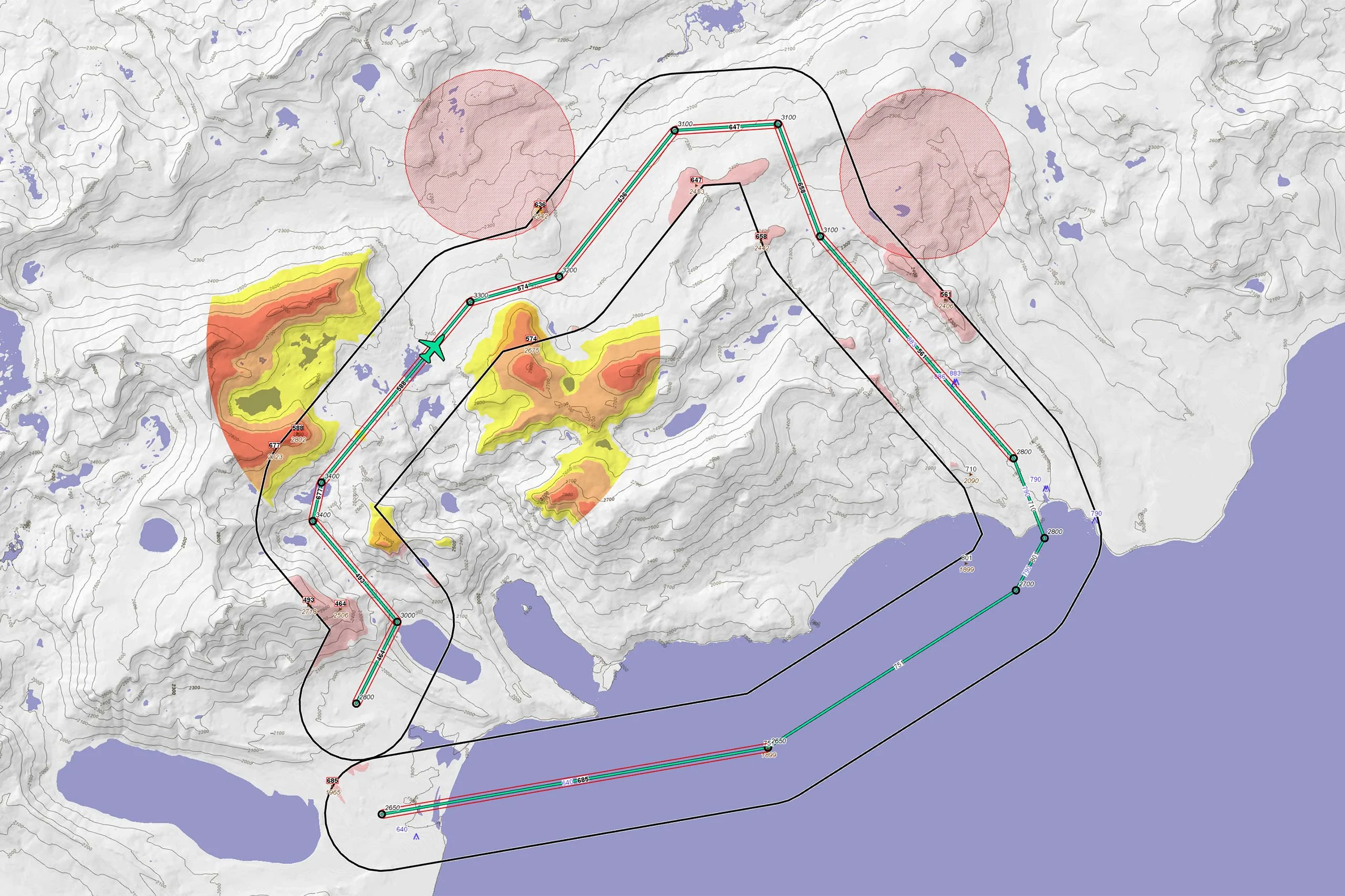
Aeronautical Charts
Dynamic En Route Chart Displays
Aeronautical charts are a key feature of most mission support systems.
The sophisticated visualization support in Carmenta’s geospatial technology makes it easy to create dynamic en route chart displays directly from source data in ARINC 424 or AIXM format.
The aeronautical information can also be directly used in our geospatial analysis, for example as a source for restricted areas in our drone routing calculations.

Use Case
Aeronautical Missions
Executing an aeronautical mission demands a detailed understanding of the geospatial situation involved, which can vary dramatically depending on the operational environment.
Develop More in Less Time
Leveraging an SDK does not only accelerate the development process and cut costs, it also increases application robustness and reliability.
Related Features
Geospatial Data from Any Source
Interoperability

Cross-Platform Development

High-Performance Rendering

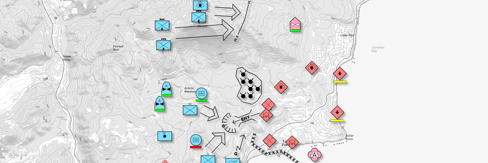
Military Tactical Overlays
Georeferenced Video

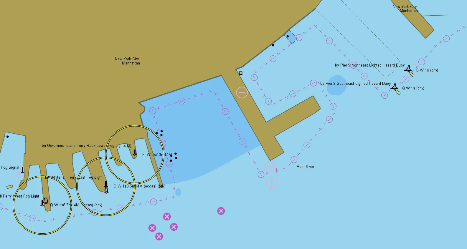
Nautical Charts
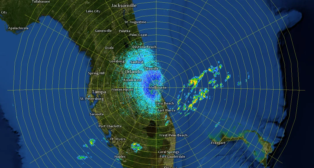
Meteorological Data

Terrain Vehicle Mobility
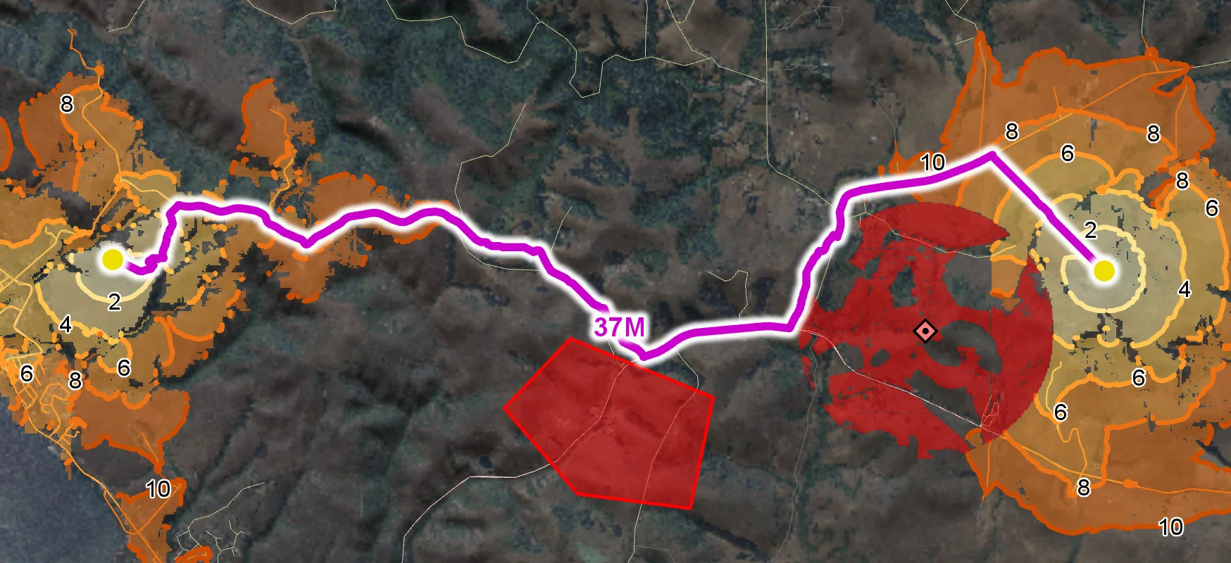
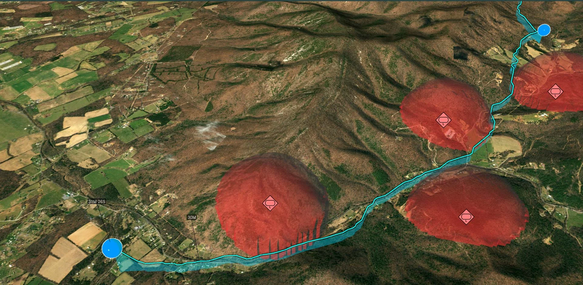
Tactical Drone Routing
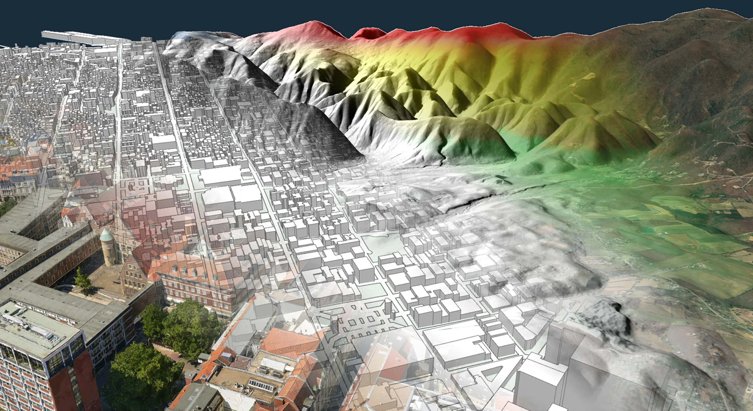
Terrain Analysis
Visibility Analysis

Radar Data