Geospatial Data from Any Source
Endless Possibilities to Combine Data
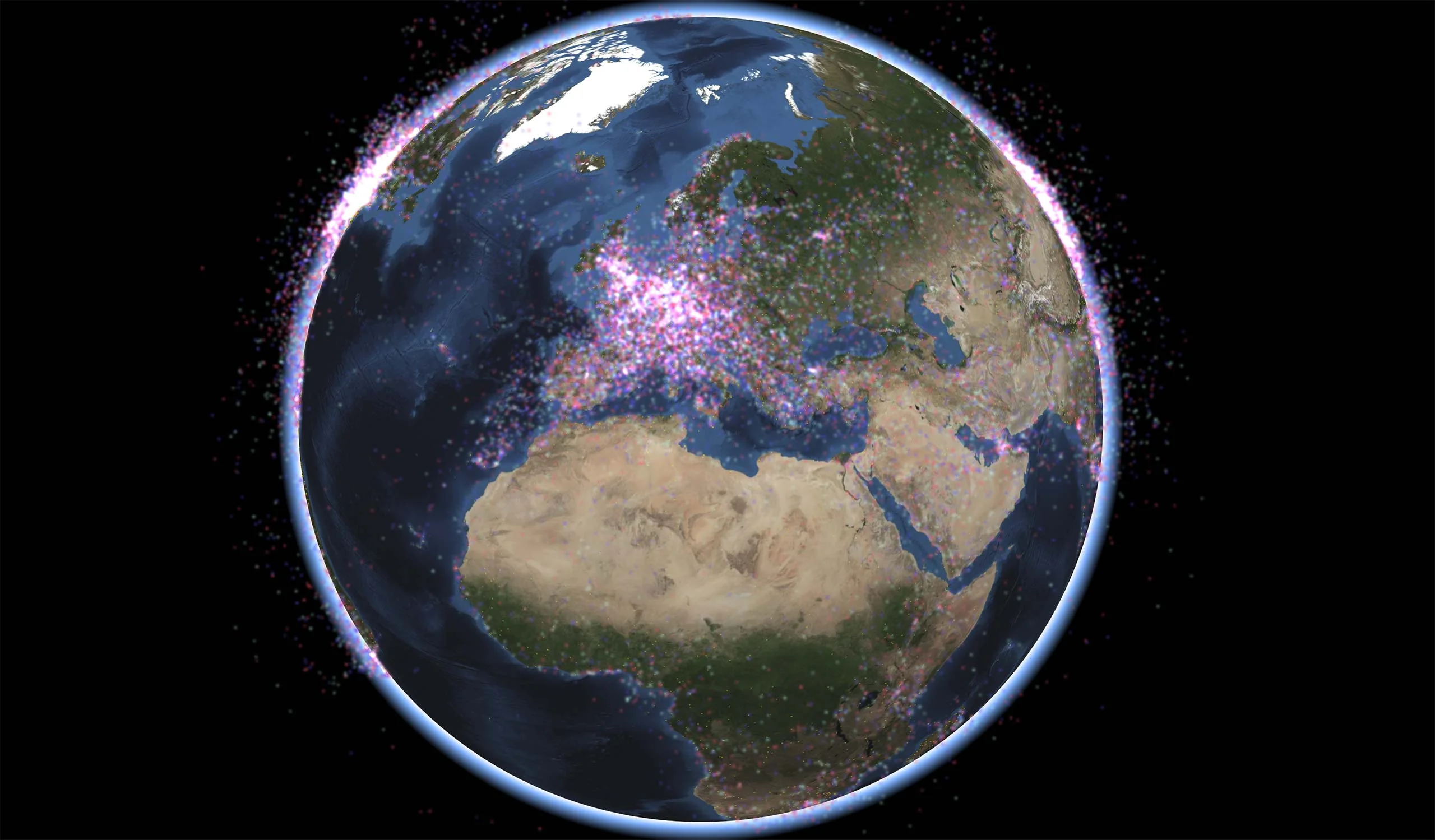
Carmenta’s geospatial technology gives you endless possibilities to combine different types of data. This makes it easy to seamlessly retrieve and present data from large and heterogeneous geographic databases, giving your end users superior situational awareness.
The Power of Extensibility
Thanks to a highly efficient geographic transformation engine, both raster and vector data can be re-projected on the fly between any projection or reference system, avoiding cumbersome pre-processing steps.
- Connect directly to many different file-based data sources, as well as geospatial databases and web service connections.
- Read geographical data directly from more than 100 different formats.
- Use data in original formats – no conversion needed.
- Combine static and highly dynamic data.
- Instantly create full motion video overlays by georeferencing video streams on the fly.
The extensibility of Carmenta Engine gives you the freedom to create custom data readers for specific needs such as proprietary formats.
Supported data formats
Carmenta technology reads directly from a large number of formats without any conversion. More than a hundred different data formats are supported, including the following:
- ADGR
- Erdas IMG
- OGC GeoPackage
- AIXM 2
- Erdas LAN/GIS
- OGC KML
- AML 2
- GeoJSON 1
- OGC WCS
- ARINC 424 2
- GeoSoft Raster
- OGC WFS
- ASRP
- GeoTIFF 1
- OGC WMS
- AutoCAD DXF 5
- GIF 1
- OGC WMTS
- AutoCAD DWG 5
- GridASCII
- OpenFlight
- AUX
- GPX
- Oracle Spatial 5
- BIL, BSQ, BSP
- HDR
- PNG 1
- Bing Maps
- IHO S-57 2,3
- PolGASP
- BSB Nautical
- IHO S-63 2,3
- PostGIS 5
- BMP 1
- Intergraph raster
- Raw
- CADRG
- Japanese DEM
- RPF
- CEOS (Spot)
- JPEG (.jpg) 1
- SDTS DEM
- CIB
- JPEG2000 (.jp2)
- SQL Server 5
- C-MAP CM93 3,4,5
- Mapbox Vector Tiles (MVT)
- SRTM HGT
- CMRG (PCMap)
- MapInfo TAB
- TIFF 1
- COLLADA
- MapInfo MIF
- Tile Servers
- DEM
- MBTiles
- USGS ASCII
- DFAD
- MFF
- USGS DOQ
- DTED
- MrSID 5
- USRP
- ECW
- MySQL 5
- VTP BT elevation
- Envisat N1
- NITF
- VPF 2
- ESRI Shape (.shp) 1,2
- NOAA
- VMAP 2
- ESRI Binary ADF
- OGC API – Tiles
- VVOD 2
- ESRI ASCII Grid
- OGC 3D Tiles
- WVS 2
- ESRI File Geodatabase
- OGC CSW
- WMO GRIB
- Reads and writes
- Uses spatial indexing for fast access of large files
- With optional IHO S-52 nautical chart presentation
- Not available in Carmenta Engine Linux version
- Not available in Carmenta Engine for Android
Develop More in Less Time
Leveraging an SDK does not only accelerate the development process and cut costs, it also increases application robustness and reliability.
Related Features
Interoperability

Cross-Platform Development

High-Performance Rendering
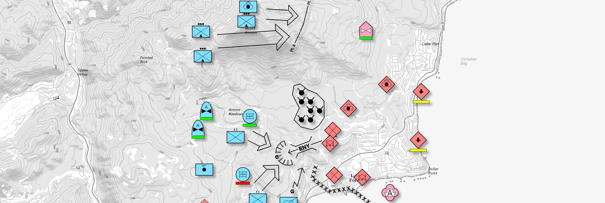
Military Tactical Overlays
Georeferenced Video

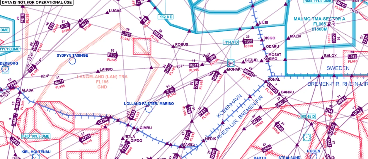
Aeronautical Charts
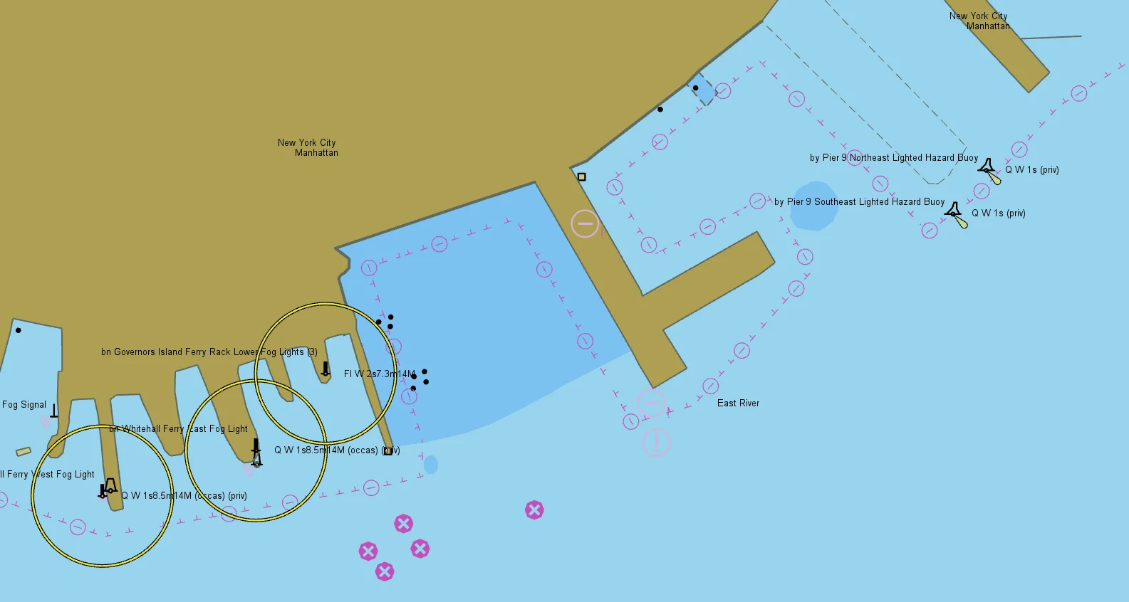
Nautical Charts
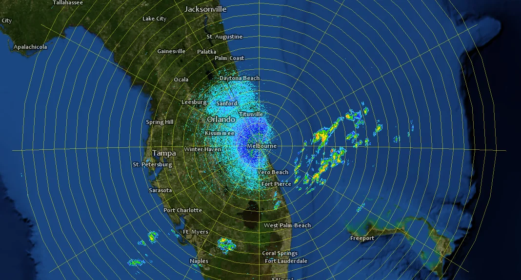
Meteorological Data

Terrain Vehicle Mobility
Tactical Drone Routing
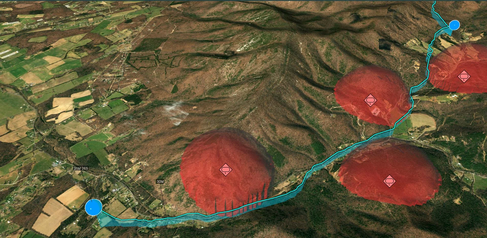
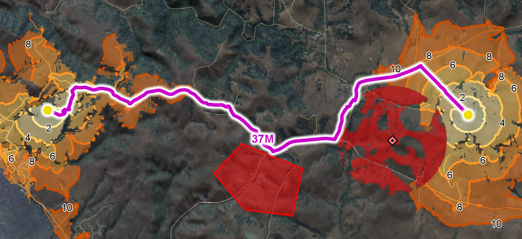
Terrain Analysis
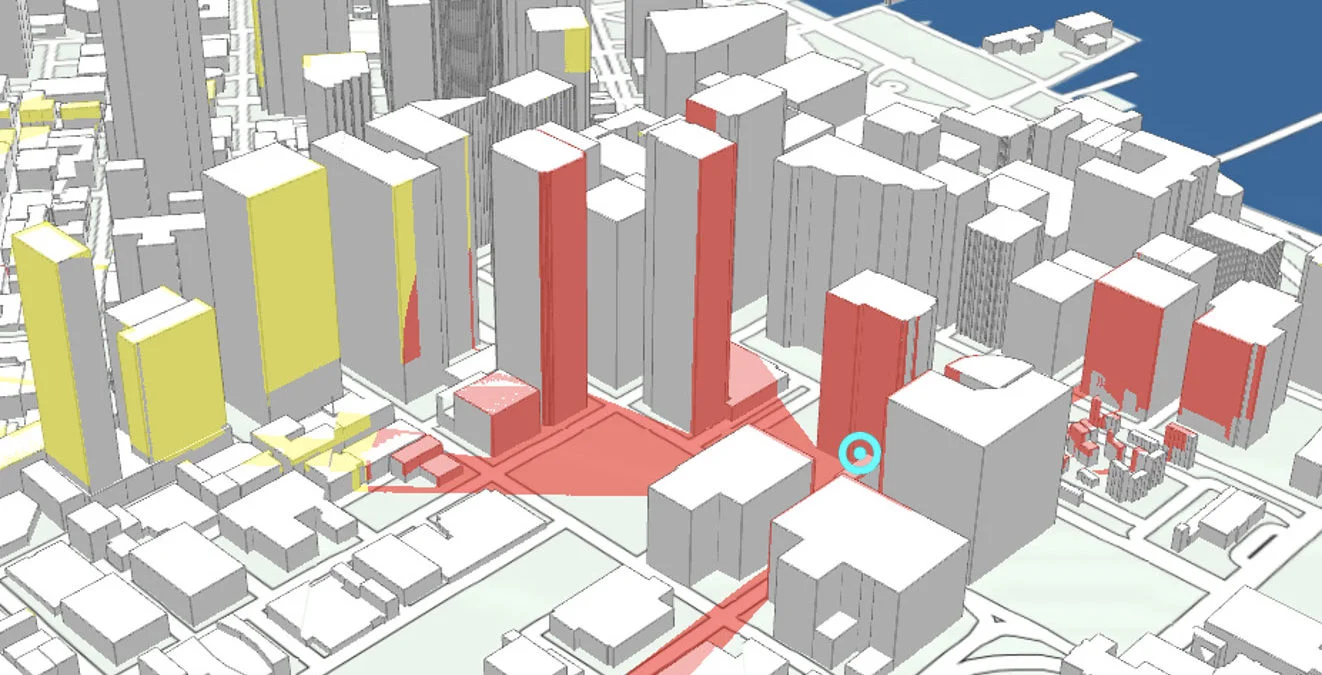
Visibility Analysis
Radar Data