Nautical Charts
Combine S-57 and S-63 Charts with Maps and Overlays
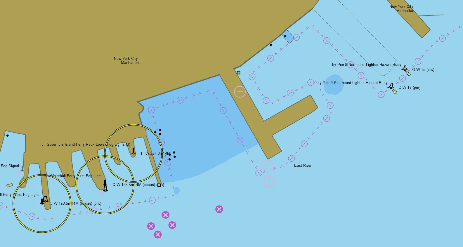
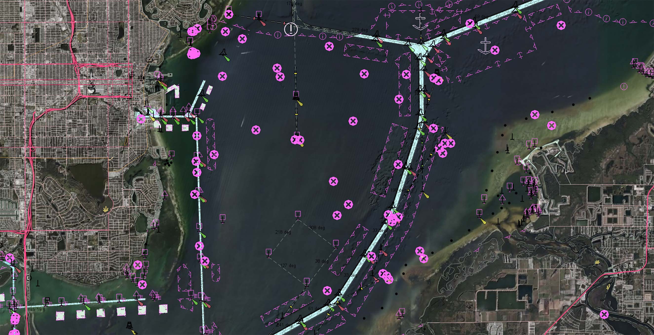
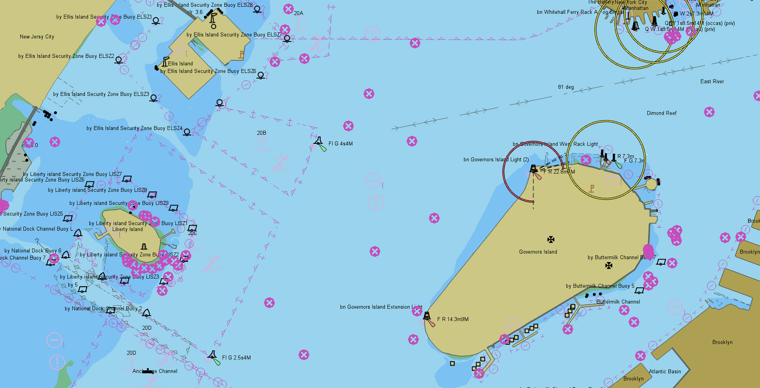
Carmenta’s geospatial technology can natively read and render nautical information according to the International Hydrographic Organization (IHO) S-57, S-63 and S-52 standards as well as the C-MAP CM93 format.
Combine charts and maps
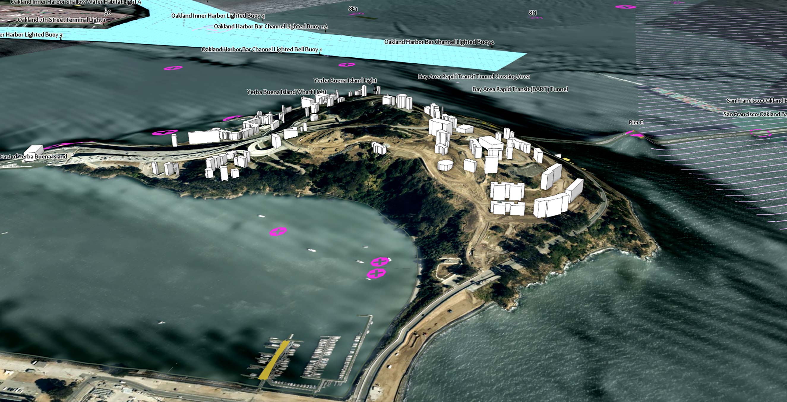
Many command and control systems lack adequate mapping of maritime areas. Conversely, the chart display in many maritime systems would benefit from data sources such as satellite imagery and city maps.
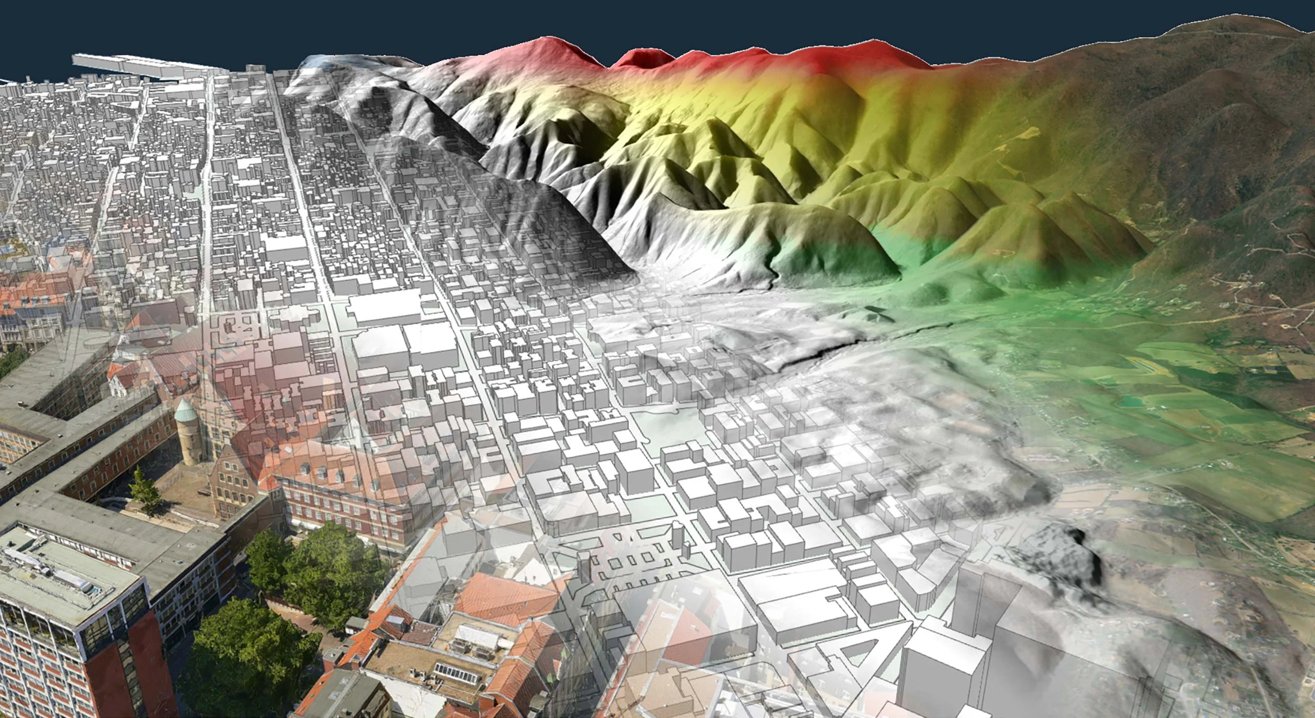
The nautical chart feature bridges this gap by allowing systems to combine S-57 and S-63 charts with maps in any of the more than 100 formats supported by Carmenta Engine.
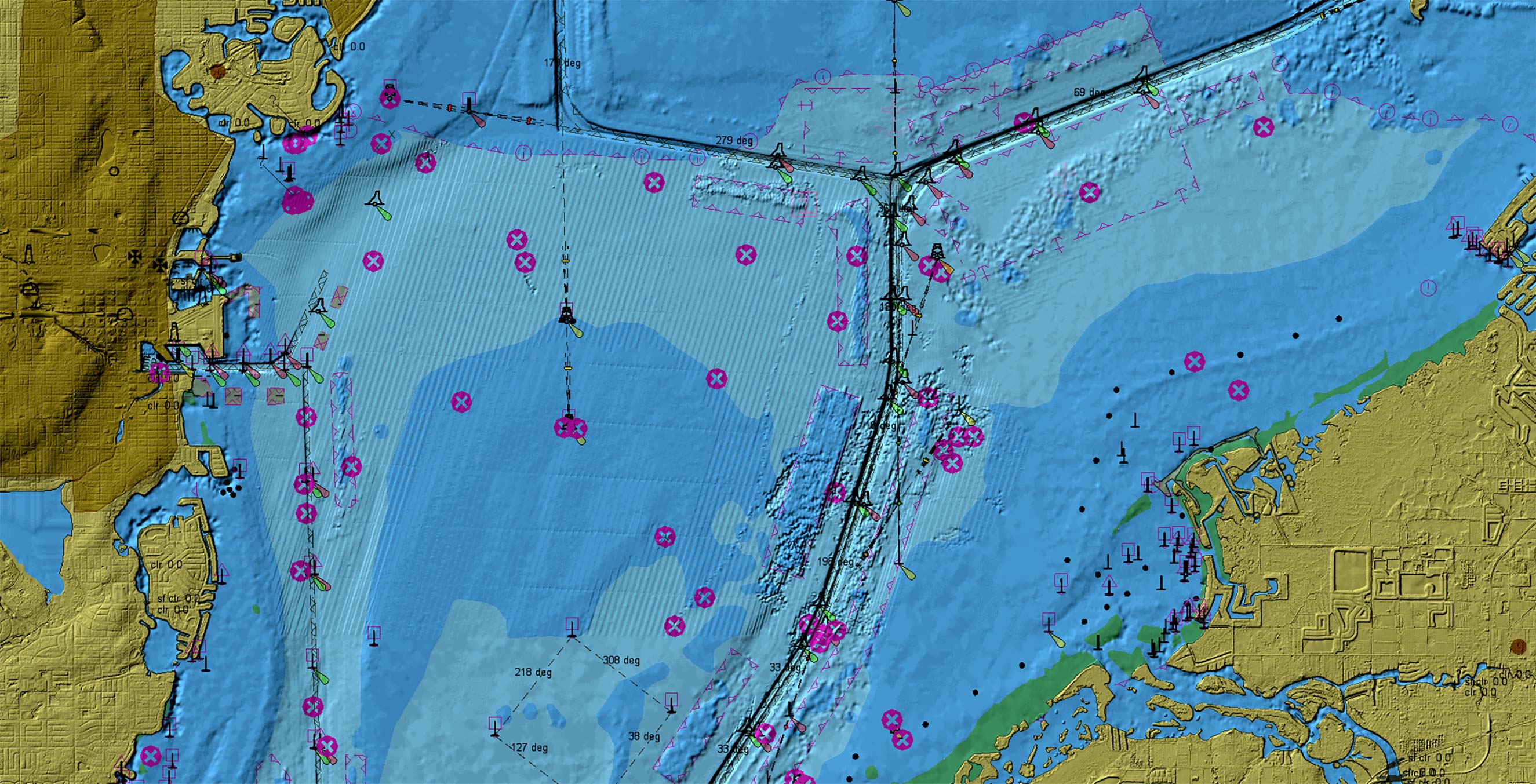
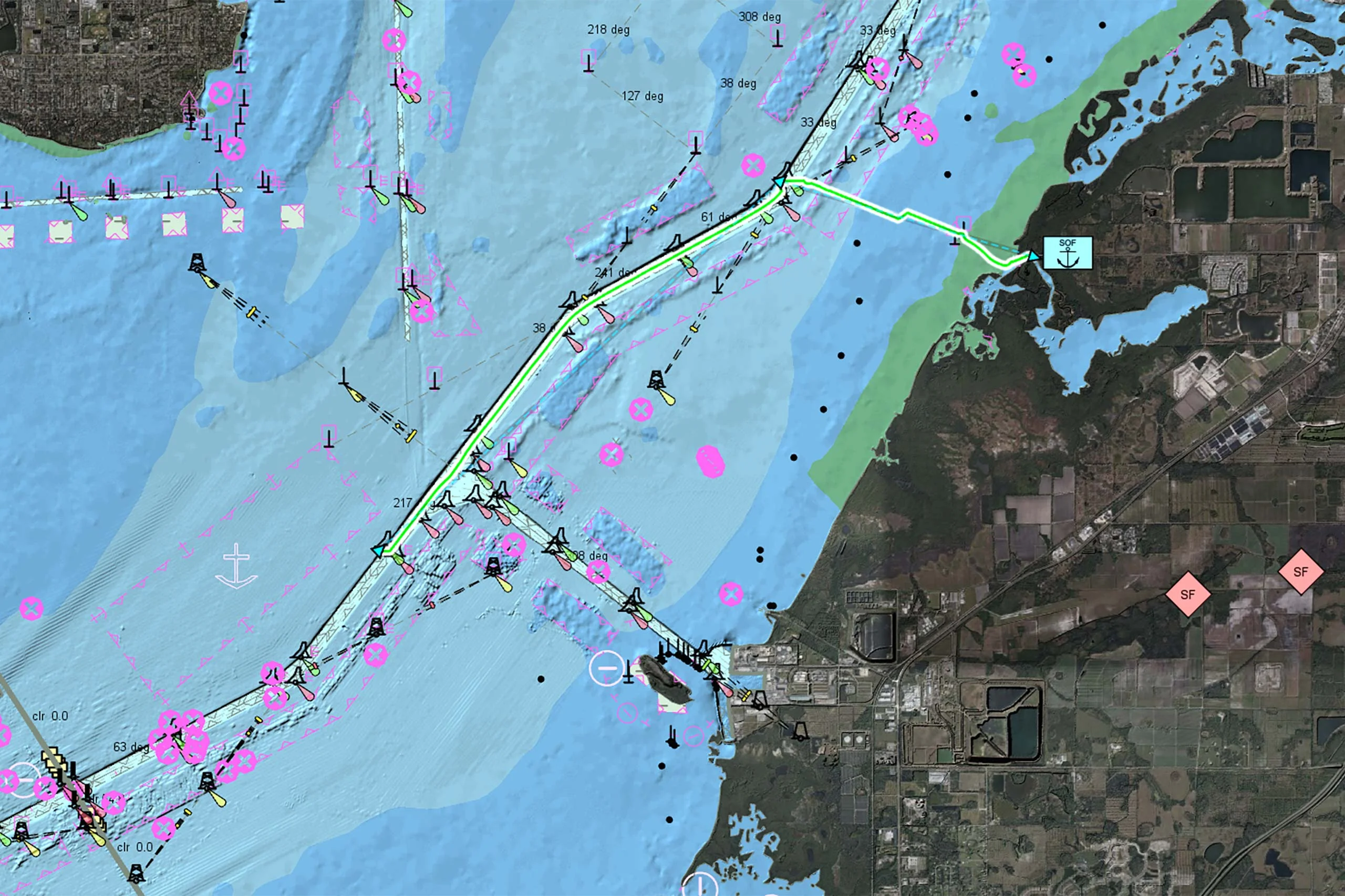
The technology supports both ENC and NATO AML (Additional Military Layers) S-57 layers as well as commercial charts protected by the S-63 Data Protection Scheme.
Cost-effective data management
One of the biggest advantages of our approach is that you can read the maritime data directly from the S-57 or S-63 files. This eliminates the need for time-consuming offline data preparation. When you receive the charts from the data provider, you simply copy them to your computer and they are immediately available in your system.
Standardized chart presentation
The technology includes ready-to-use chart presentation according to the S-52 Presentation Library 4.0 and the NATO AML Portrayal Specification 2.0. It is also possible to apply custom processing and visualization to individual S-57 features using the full set of Carmenta Engine functions, e.g. to remove or highlight certain objects.
Real-time performance
The charts benefit from the full set of performance enhancing features included in Carmenta Engine. This includes hardware accelerated graphics, multi-core support, and sophisticated caching. This means that the charts can be used for real-time and rotating moving map systems with outstanding results.
Ongoing development
Our support for nautical charts is under active development to meet the needs of our customers. Work is currently underway to add support for the S-102 Bathymetric Surface Product Specification.
Use Case
Maritime CMS
In order to meet the demands of modern naval warfare, Combat Management Systems (CMS) must do more than simply collect raw data. They must deliver actionable insights that empower operators to make informed decisions in real time. This is precisely the area in which Carmenta’s geospatial technology can make a decisive difference.
Develop More in Less Time
Leveraging an SDK does not only accelerate the development process and cut costs, it also increases application robustness and reliability.
Related Features
Geospatial Data from Any Source
Interoperability

Cross-Platform Development
High-Performance Rendering

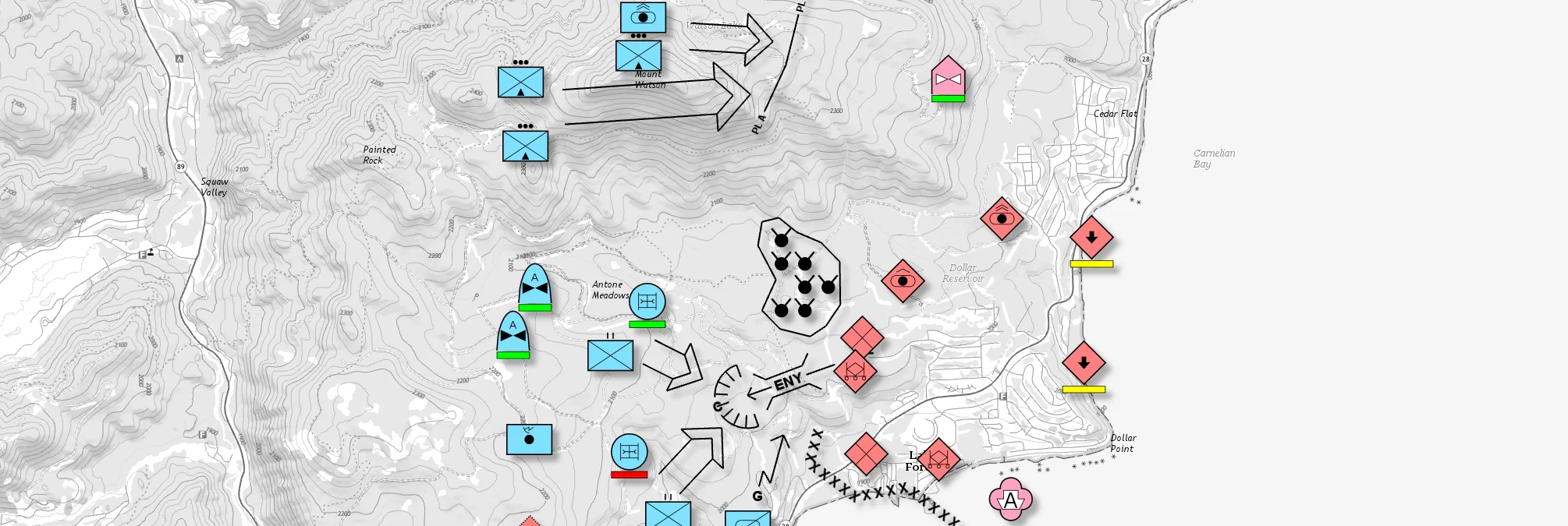
Military Tactical Overlays
Georeferenced Video

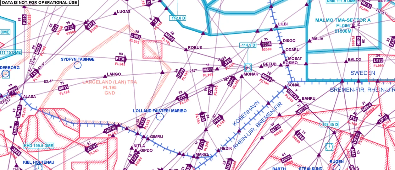
Aeronautical Charts
Meteorological Data

Terrain Vehicle Mobility
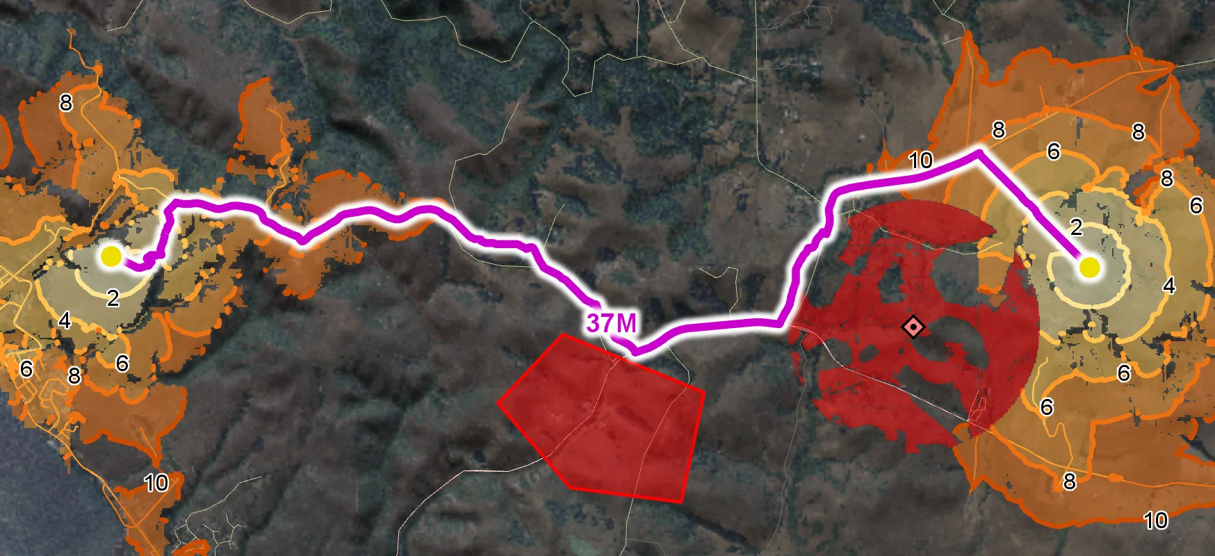
Tactical Drone Routing
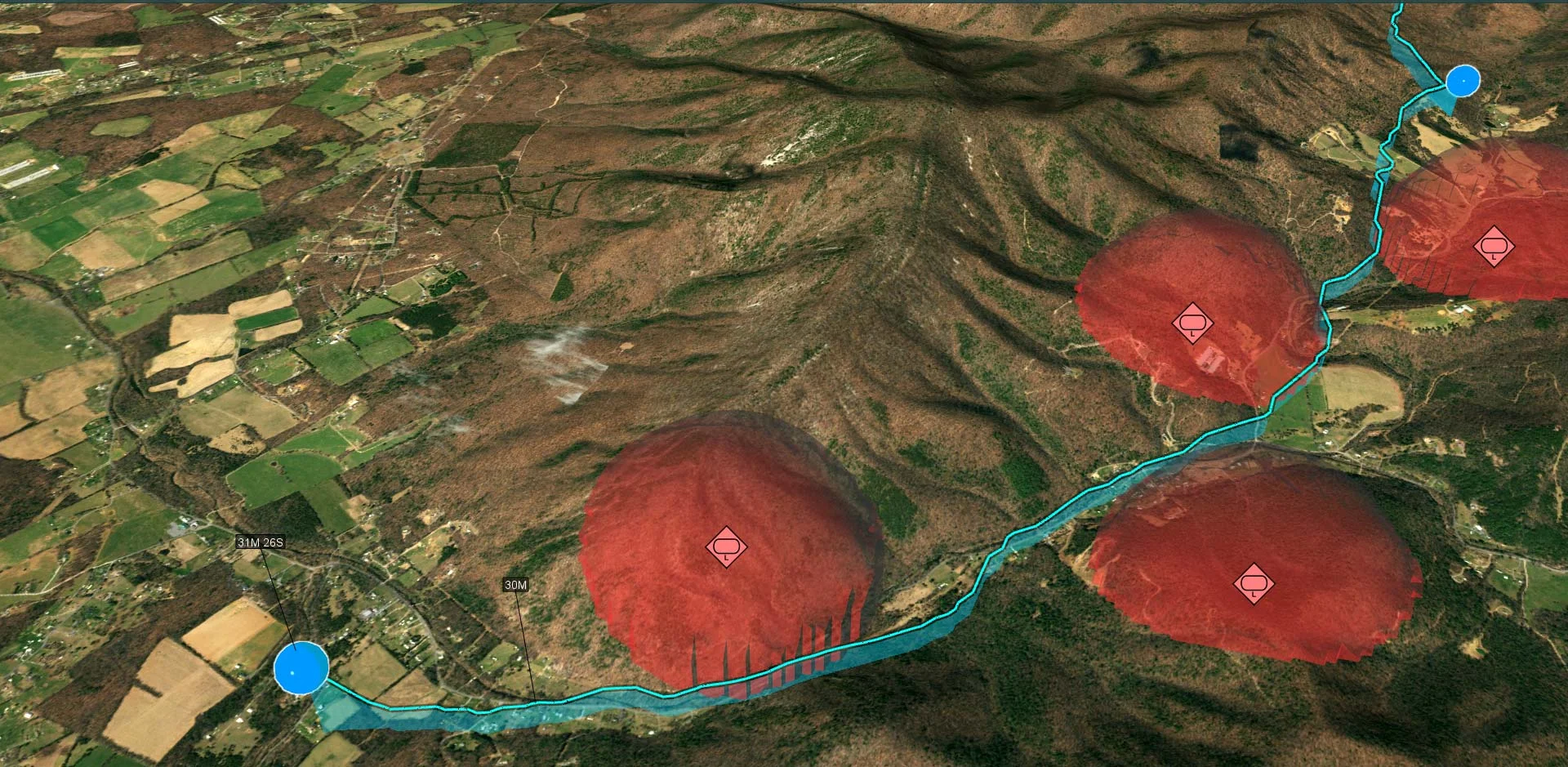
Terrain Analysis
Visibility Analysis

Radar Data