Master’s Thesis

Abstract city image with blue light.

Object identification in 3D urban environments

Master’s Thesis by Olivier Marion, in cooperation with KTH, the Royal Institute of Technology in Stockholm, Sweden. 

Background

This Master’s thesis project belongs to the urban modelling and analysis field, a computer vision problem involving 3D computer graphics and machine learning. The goal of this Master’s thesis project is to examine the problem of automatic identification of objects (artefacts) in 3D urban meshes.

More particularly, this project studies the effect of generalising an already-existing unsupervised algorithm to lower resolution meshes. The comparisons are performed on datasets representing different cities and generated by different providers, with varying levels of detail. As human visual inspection still prevails as the golden standard in the evaluation of related computer vision subjects, the results are analysed through a survey.

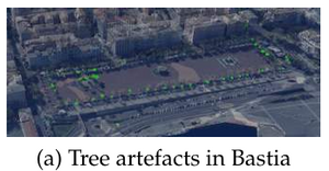
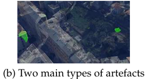
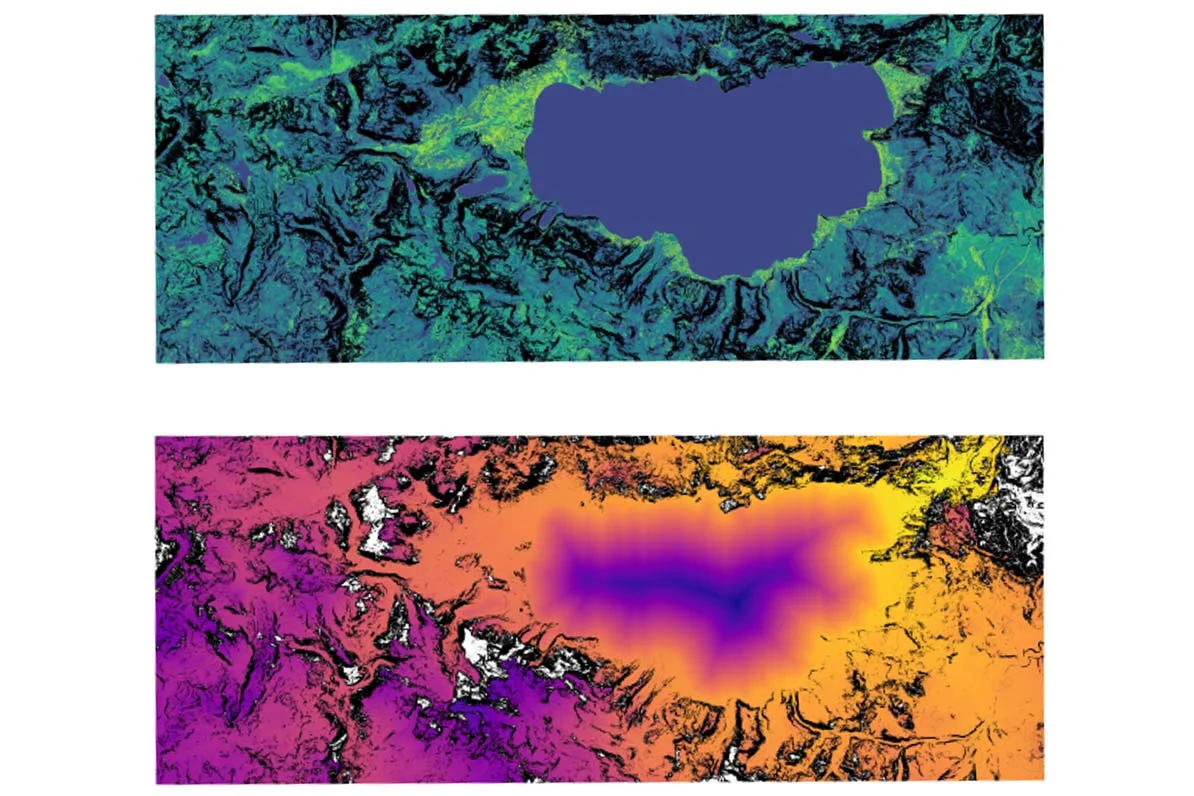
Screen shots from the master’s thesis report showing connectivity analysis in Bastia.

Conclusions and Future Work

From an engineering point of view, artefacts in urban meshes can be detected by extending already existing semantic mesh segmentation paired with density-based descriptors. Given results and works on the detection of artefacts in 3D point clouds and that urban meshes are usually generated from point cloud surveying, it seems that performing such a detection step for quality purposes should be performed beforehand on the raw data. Given a mesh, semantic segmentation is however a relevant challenge for automatic simplification of the given mesh or for other applications.  Vegetation identification is the main remaining problem in most approaches.

Density holds potential for vegetation detection in meshes with varying resolutions. Due to time constraints, it was not however possible to effectively include it in the final proposal. Vegetation processing for artefact removal is usually rather specific, therefore a better performing vegetation detection in the primary clustering via MRF step is important to efficiently distinguish ground, buildings and trees. In order to improve object detection, using available and accurate elevation data could allow to perform watershed without requiring texture based constraints. Finally, in general, constituting ground-truths for supervised approach or simply performance evaluation could be of great benefit.
More information

Marion, Olivier. Object identification in 3D urban environments (2019).

Read more and download the Master’s Thesis as pdf

Related knowledge

Master’s Thesis: Enabling geospatial hybrid-collaboration

Master’s Thesis: Enabling geospatial hybrid-collaboration

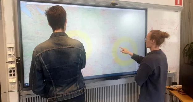
Collaborative single-display teamwork without any widget or button. A case study using Carmenta Engine. This thesis introduced a new form of interfacing with the Carmenta Engine on touch screen. Its results show that through using the technique of hand chords, several users can work with the one large touchscreen simultaneously.

Read more