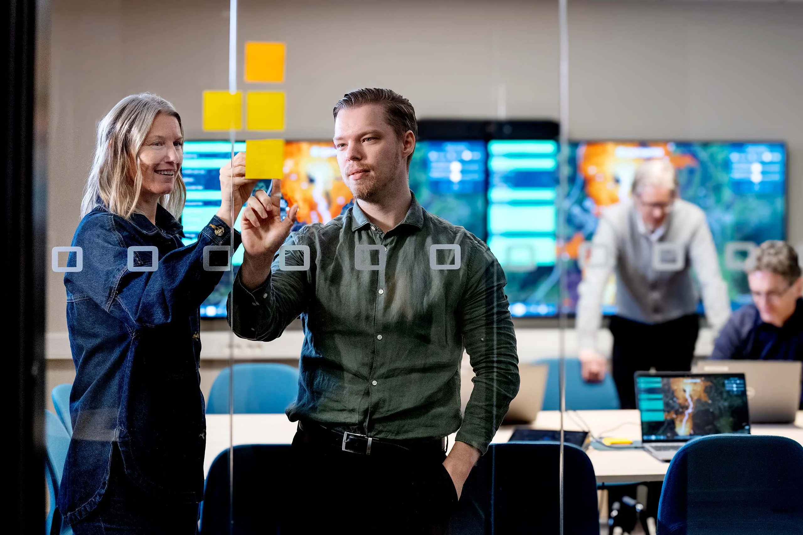
We're Hiring! Backend Developer (.NET)
Join our team! Carmenta is looking for a Backend Developer (.NET) to help build a modern system for information processing, data integration, and tactical analysis.
Read more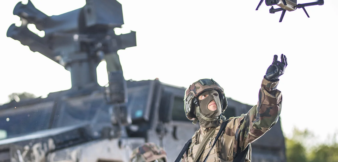
The EDIDP (European Defence Industrial Development Programme) project LynkEUs is the first technological and industrial contribution to the objectives of the Permanent Structured Cooperation (PESCO) Beyond Line Of Sight (BLOS) capability project.
Coordinated by the European missile house MBDA, LynkEUs seeks to define an initial operational concept for a European BLOS capability. The LynkEUs project will also provide an opportunity to identify and test emerging solutions of potential value for future upgrades to the capability, and will be validated by a test campaign.
The concepts and tests completed for the PESCO BLOS project will contribute to the development of a family of man-on-the loop BLOS missile systems for mounted and dismounted forces, based on the MMP medium range missile, and will be supported by airborne and ground-based systems.
Carmenta Geospatial Technologies will bring its experience in advanced geospatial analyses and visualisations to develop innovative functionalities related to both the airborne and ground systems. These will be based on the Carmenta Engine product.
Torbjörn Lönnqvist, CEO of Carmenta Geospatial Technologies, says: “We are very thankful towards MBDA, the LynkEUs consortium members and the EU for the interest and trust they have placed in Carmenta’s team and its situational awareness technologies. The LynkEUs project is spot on Carmenta’s strategic areas focusing on land and UAS applications, including distinctive functionalities with respect to our upcoming product release and Carmenta’s research activities. We look forward to contributing to the technical and strategic autonomy of the European nations in collaboration with the LynkEUs consortium members.”
MBDA and its 10 other partners – from Belgium: The Royal Military Academy, FN Herstal, Thales Belgium and Xenics; from Cyprus: Aditess, the Cyprus Institute and SignalGenerix; from France: MDBA, Novadem and Safran; as well as the 3 subcontractors: MILREM (Estonia), DELAIR (France) and Carmenta Geospatial Technologies (Sweden) – will launch the project before the year end 2020.
Join our team! Carmenta is looking for a Backend Developer (.NET) to help build a modern system for information processing, data integration, and tactical analysis.
Read more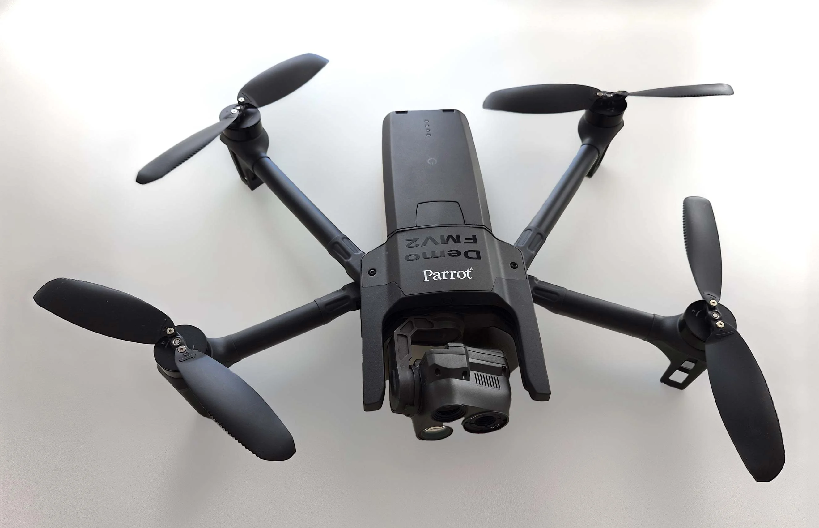
As part of Project Demo UCAV, Carmenta is proud to have participated in a drone exercise during Aurora 26, where its technology was used for UAS routing and mission planning.
Read more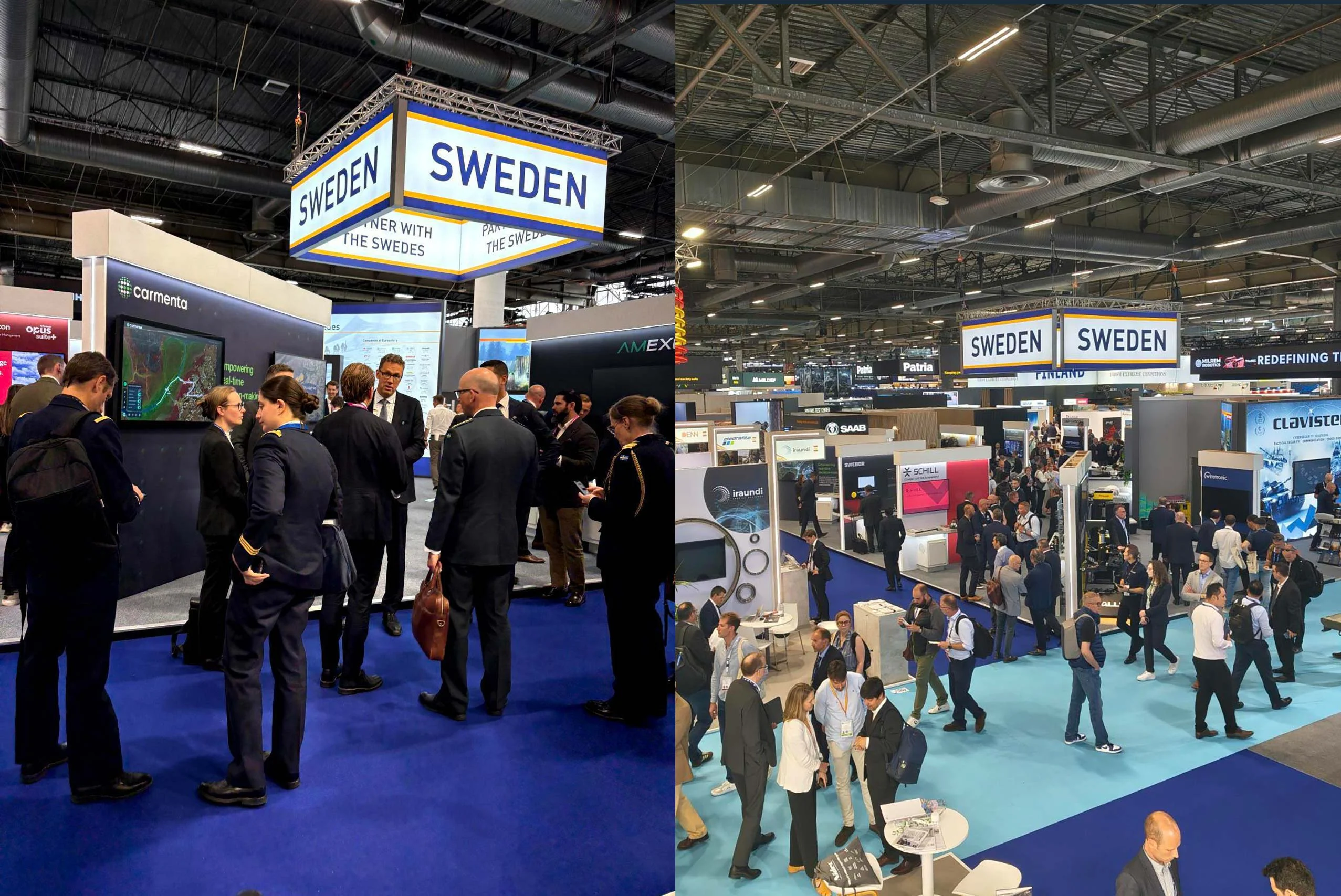
Beyond the scale of the exhibition, discussions centred on stronger European cooperation, increasing integration across domains, and a growing need to turn complex data into usable operational insight.
Read more