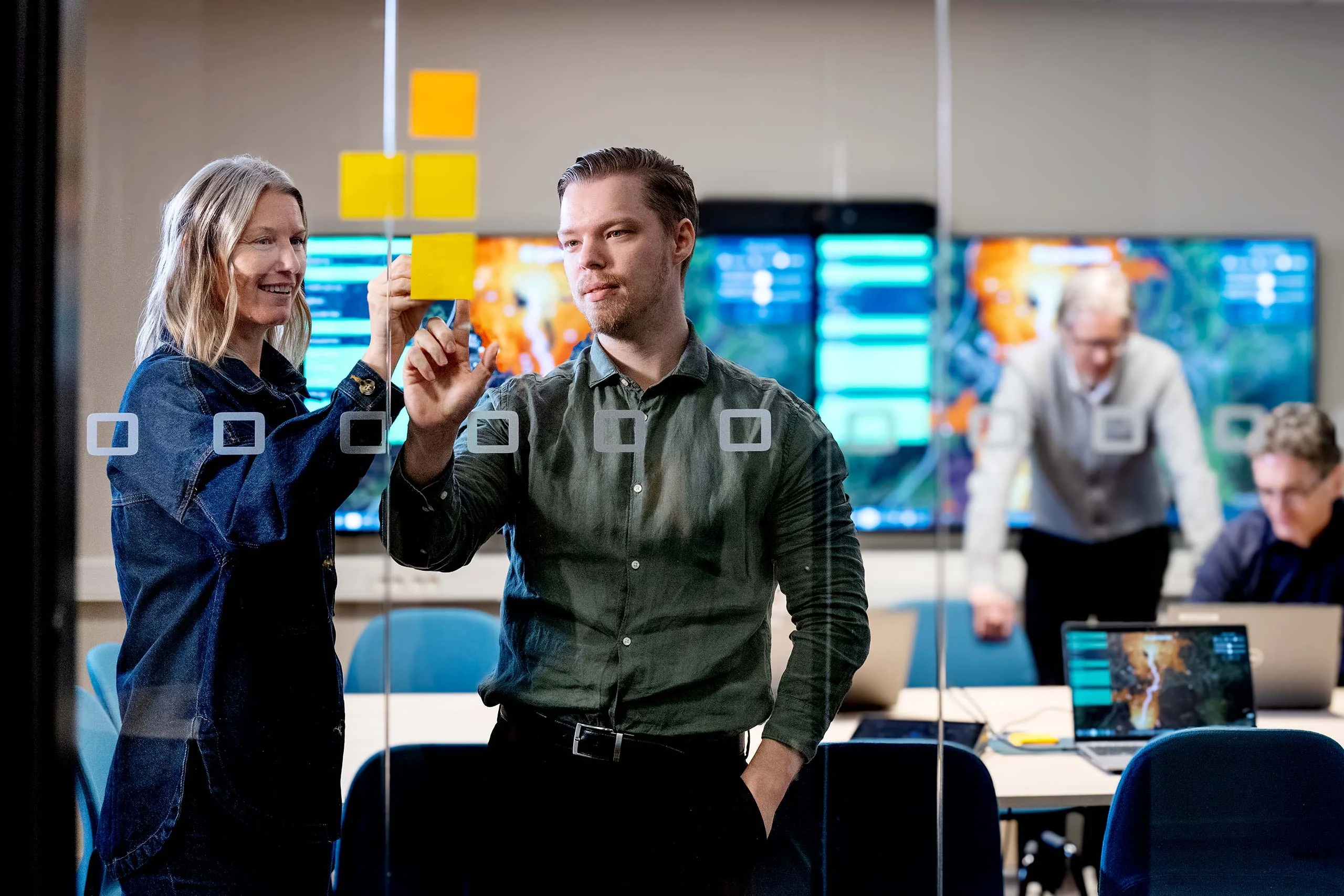
We're Hiring! Backend Developer (.NET)
Join our team! Carmenta is looking for a Backend Developer (.NET) to help build a modern system for information processing, data integration, and tactical analysis.
Read moreTomorrow, at AFCEA Exhibition in Bonn, Germany, Carmenta and German AI-company SE3 Labs will demonstrate how AI-driven spatial intelligence is reshaping decision-making, navigation and situational awareness in defense operations.
By leveraging AI-assisted computer vision, the two companies are transforming real-time UAV data into high-resolution, semantic 3D maps, offering a new level of precision and adaptability in geospatial intelligence.
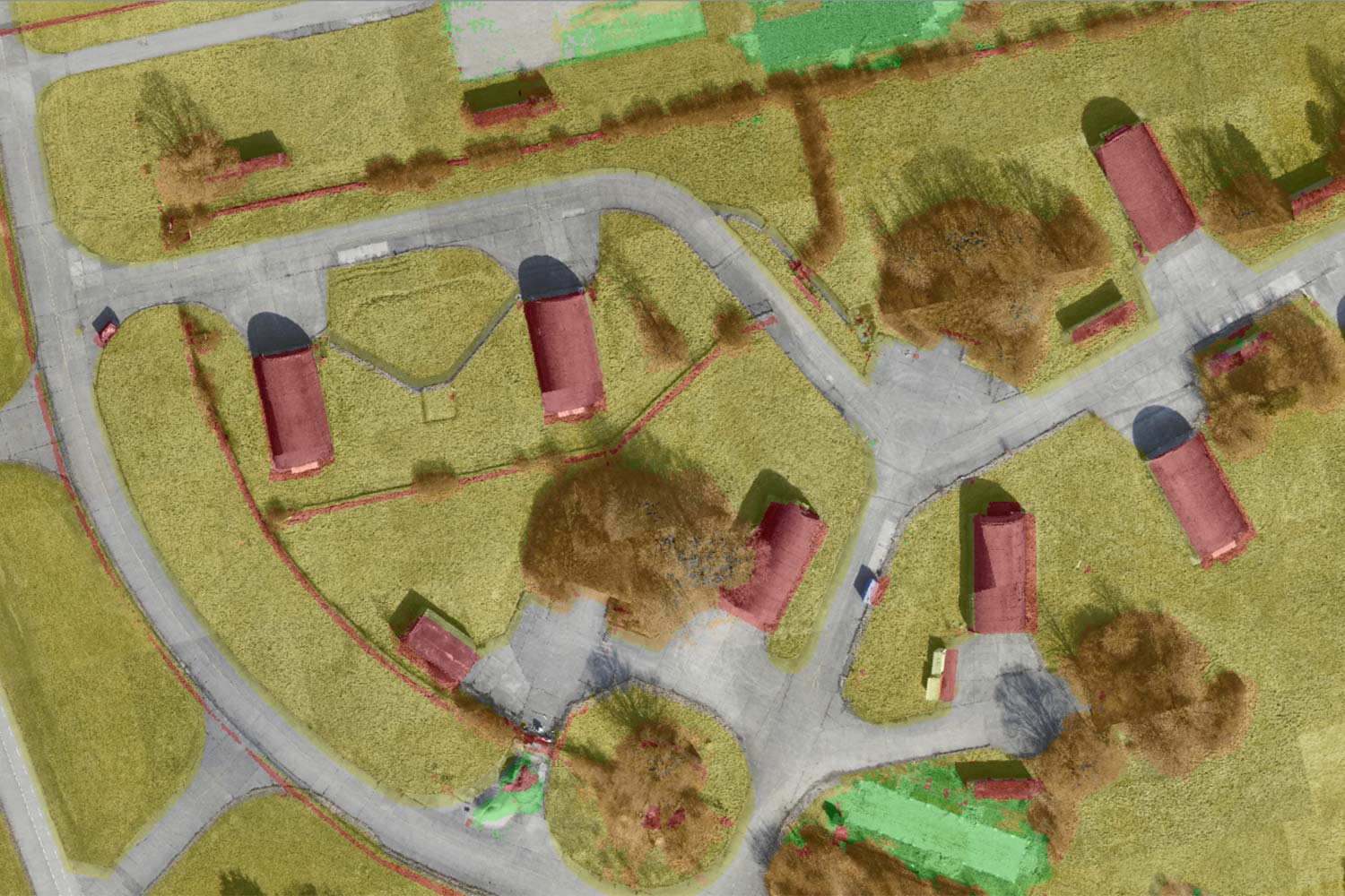
The image above shows AI-generated land cover data from a UAV video. The red areas are non-traversable, the green and orange areas are grass and fields, and the grey areas are paved areas such as roads.
Access to high-resolution, up-to-date data is critical to the success of military missions. Despite this, it is often overlooked. Thanks to technological advancements, it is now possible to combine up-to-date drone video feeds with AI tools and generate accurate geospatial data in near real time.
SE3 Labs, an innovator in AI-driven spatial analysis, employs 3D reconstruction, object recognition, and scene-based analysis via its LLM (Large Language Model) “SpatialGPT”. This technology enhances geodata analysis by providing detailed terrain classifications and continuously updating geodata.
These analyses are seamlessly integrated into Carmenta Engine, enabling robust, near-live navigability maps and terrain analyses – continuously adapted to any detected changes.
The integration of Carmenta’s geospatial platform with the SpatialGPT interface provides an intuitive, precise, and adaptive foundation for mission planning – particularly valuable for autonomous systems and UGV-supported operations.
Join our team! Carmenta is looking for a Backend Developer (.NET) to help build a modern system for information processing, data integration, and tactical analysis.
Read more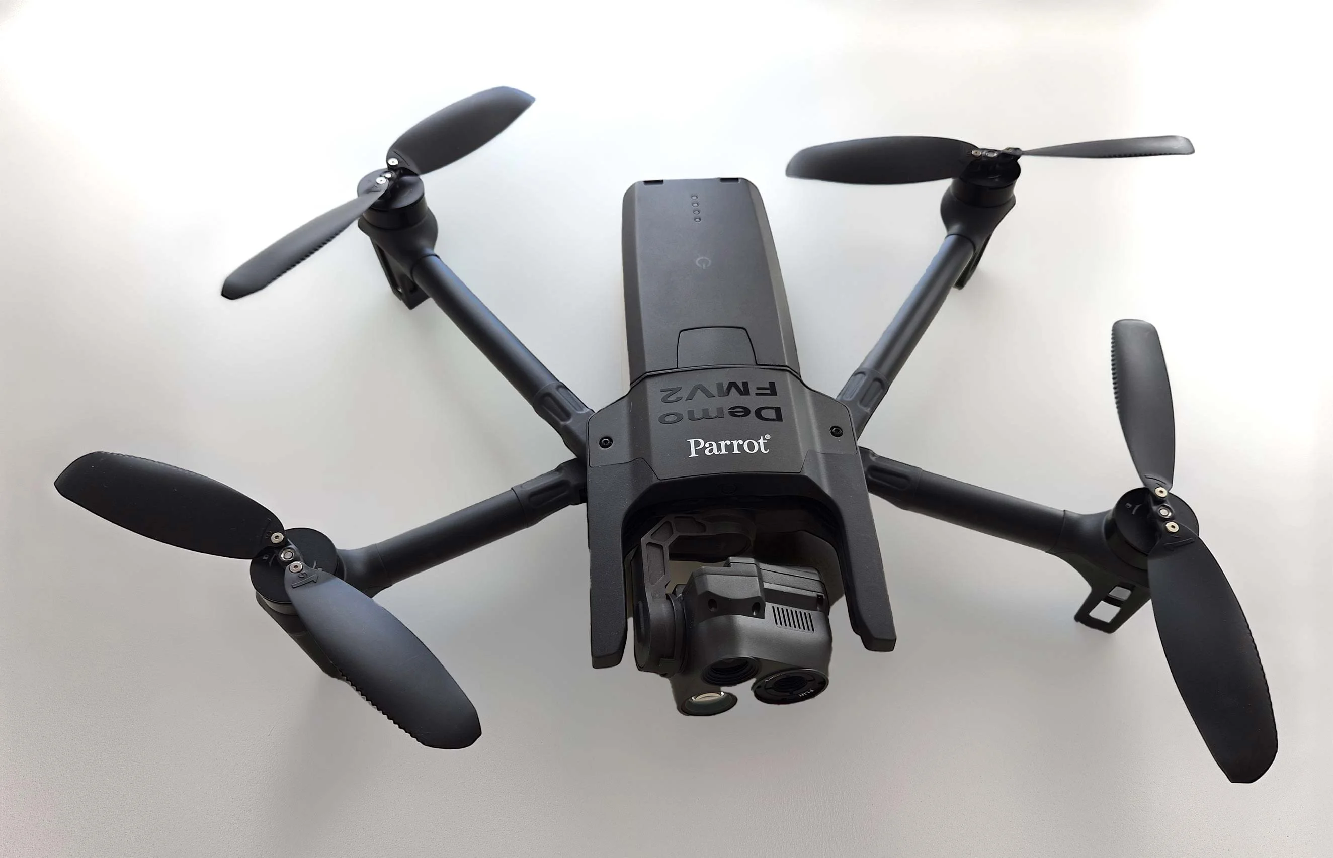
As part of Project Demo UCAV, Carmenta is proud to have participated in a drone exercise during Aurora 26, where its technology was used for UAS routing and mission planning.
Read more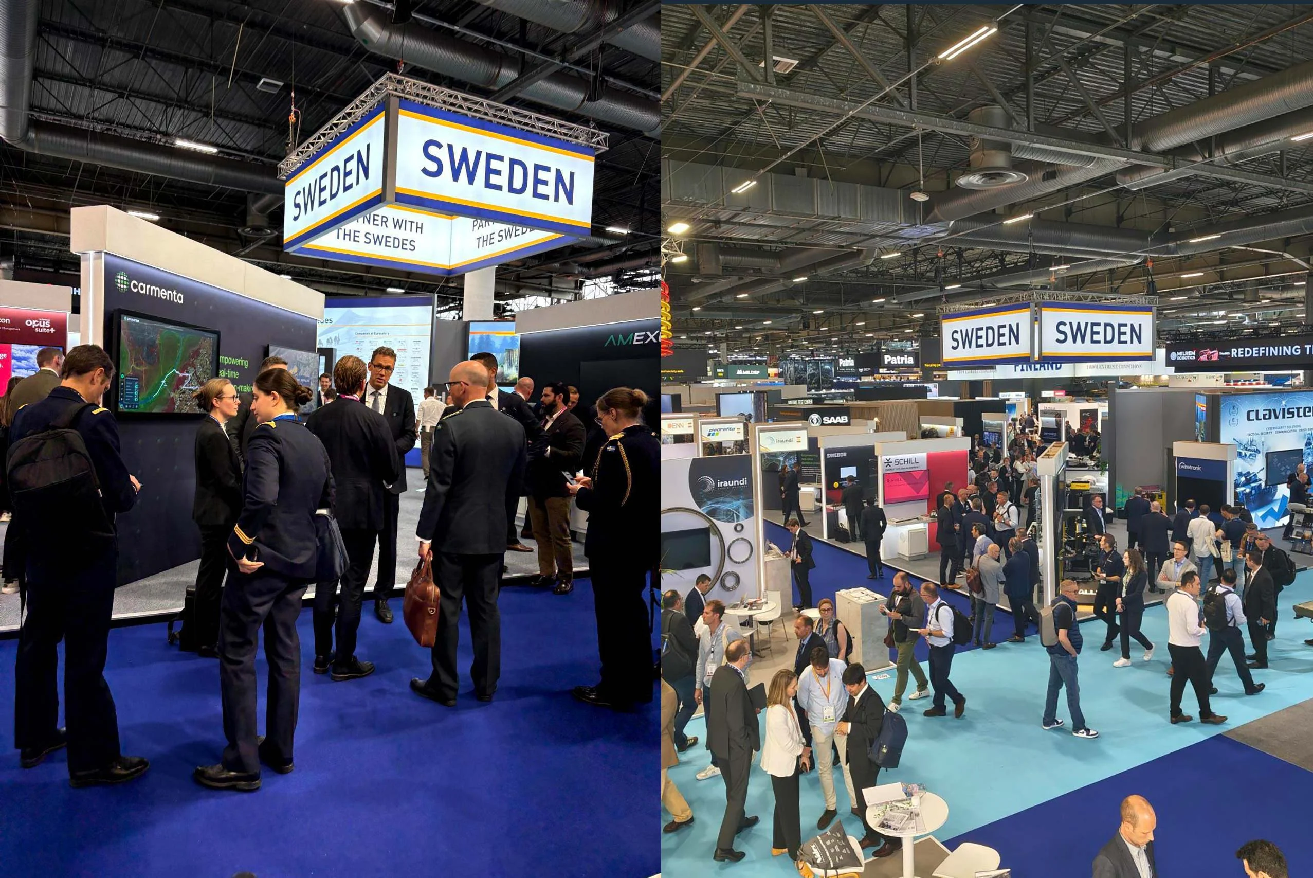
Beyond the scale of the exhibition, discussions centred on stronger European cooperation, increasing integration across domains, and a growing need to turn complex data into usable operational insight.
Read more