We're Hiring! Backend Developer (.NET)
Join our team! Carmenta is looking for a Backend Developer (.NET) to help build a modern system for information processing, data integration, and tactical analysis.
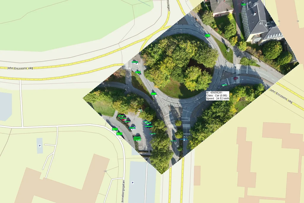
Read moreEarlier this year, Carmenta participated in a Vinnova Innovair funded project together with Spacemetric and PandionAI. The initiative aimed to combine three advanced capabilities central to modern geospatial intelligence: high-performance geospatial visualization, georeferenced video processing, and AI-driven object recognition. The goal was to create a solution capable of processing and visualizing real-time AI-enhanced drone data.
As part of the project, Carmenta developed an application based on its Carmenta Engine mapping technology. This application integrates Spacemetric’s georeferenced video with objects detected by PandionAI’s advanced AI algorithms in real time. Spacemetric transforms the drone video into the STANAG 4609 format and enriches it with precise geospatial metadata essential for mission-grade interoperability, which Carmenta Engine then ingests. The video feed is superimposed on a background map, and all AI-identified objects are displayed as interactive geospatial elements.
The approach demonstrated the benefits of applying AI-powered object recognition to live drone data. It delivers real-time situational awareness by automatically identifying and tracking key objects, enabling faster, more informed decision-making in dynamic geospatial environments.
Join our team! Carmenta is looking for a Backend Developer (.NET) to help build a modern system for information processing, data integration, and tactical analysis.
Read more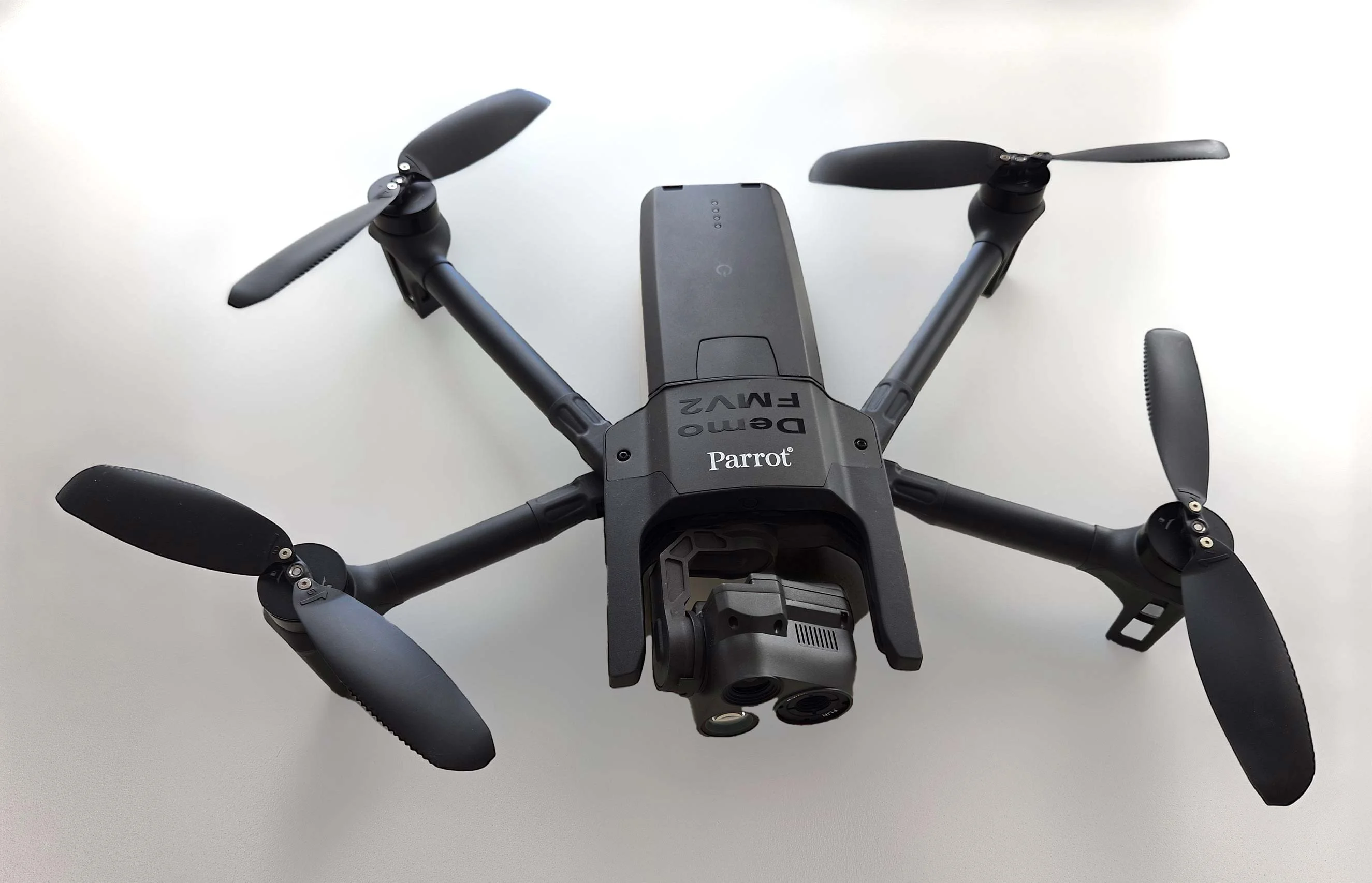
As part of Project Demo UCAV, Carmenta is proud to have participated in a drone exercise during Aurora 26, where its technology was used for UAS routing and mission planning.
Read more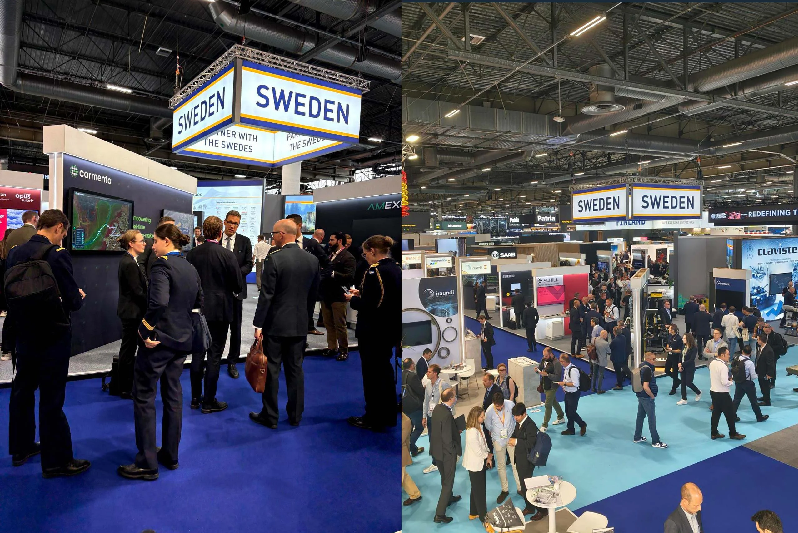
Beyond the scale of the exhibition, discussions centred on stronger European cooperation, increasing integration across domains, and a growing need to turn complex data into usable operational insight.
Read more