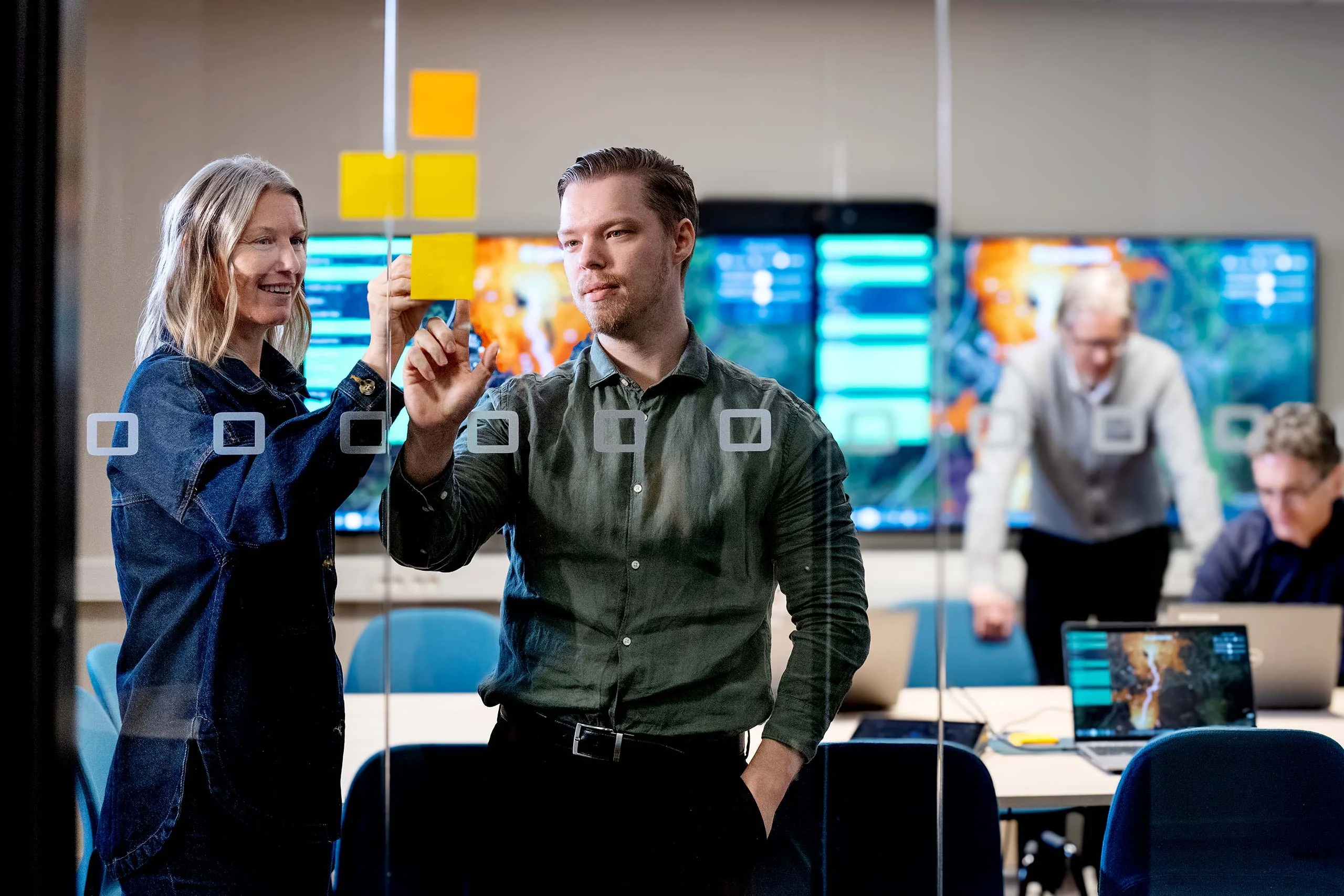
We're Hiring! Backend Developer (.NET)
Join our team! Carmenta is looking for a Backend Developer (.NET) to help build a modern system for information processing, data integration, and tactical analysis.
Read moreAs we enter 2026, it’s natural to reflect on the developments that shaped 2025 and look ahead to what will define the coming year. Across industries, we’ve seen rapid technological progress, heightened security demands, and an increasing need for resilience. These dynamics are particularly evident in the defense industry, where the need for advanced geospatial technology continues to grow.
Modern defense operations require coordination across the land, air, and sea domains, enabling commanders, operators, and autonomous systems to make informed decisions. Advanced geospatial technology is essential for creating a unified operational picture, combining live data feeds, terrain analysis, maritime charts, and threat overlays. At Carmenta, we have worked extensively on this in 2025 and will continue to ensure interoperability and open standards across our product suite. Read more here: uncrewed military mobility across all domains.
Defense missions today involve operating in highly dynamic and contested environments, demanding faster decision cycles. Geospatial platforms help reduce complexity and enable rapid, informed decisions. This is an area where we see that Carmenta technology can continue to make a difference, minimizing risk and improving mission success.
All autonomous systems, whether UAVs, UGVs, USVs or AUVs, rely on precise geospatial data for mission planning, navigation, and coordination. Platforms that support these capabilities, both in planning systems and at the edge, are becoming indispensable to defense operations. This area will remain a priority for Carmenta, with continued innovation.
Artificial intelligence as decision support continues to develop, and is transforming how we process and visualize data. One example is AI-driven spatial intelligence, where real-time UAV data is converted into high-resolution, semantic 3D maps using 3D reconstruction and object recognition. Combining AI with Carmenta’s analysis and visualization expertise opens new possibilities for situational awareness. Read more about how SE3 Labs and Carmenta are redefining decision-making with AI-driven spatial intelligence.
Coalition operations and joint exercises demand systems that can share and interpret geospatial data across platforms and nations. Interoperability and open standards have always been at the core of Carmenta technology and in 2026 we will continue this commitment to ensure seamless integration with both partner systems and emerging technologies.
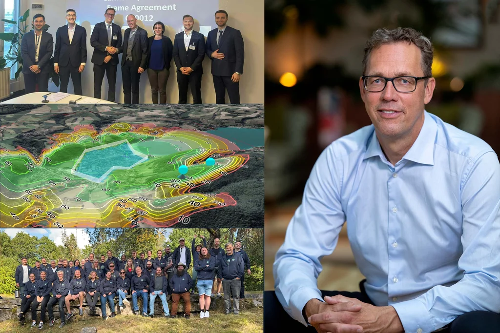
2025 was a year of progress and momentum for Carmenta. We strengthened partnerships, advanced our platforms, and delivered solutions that enable operational clarity in complex environments. Among the highlights:
To the Carmenta Team: Thank You! The achievements of last year reflect the dedication and expertise of the Carmenta team. Thank you for your hard work, commitment, and for always striving to deliver excellence.
Stepping into 2026, we are looking forward to a year filled with exciting opportunities. Several innovative projects and developments that will strengthen our contribution as a trusted partner in defence and security are already underway.
Geospatial technologies are increasingly critical across defence, security and public safety sectors. At Carmenta, our purpose remains clear: we will continue to develop reliable, performant and flexible technology to empower decision-making for those who safeguard lives and critical infrastructure.
Join our team! Carmenta is looking for a Backend Developer (.NET) to help build a modern system for information processing, data integration, and tactical analysis.
Read more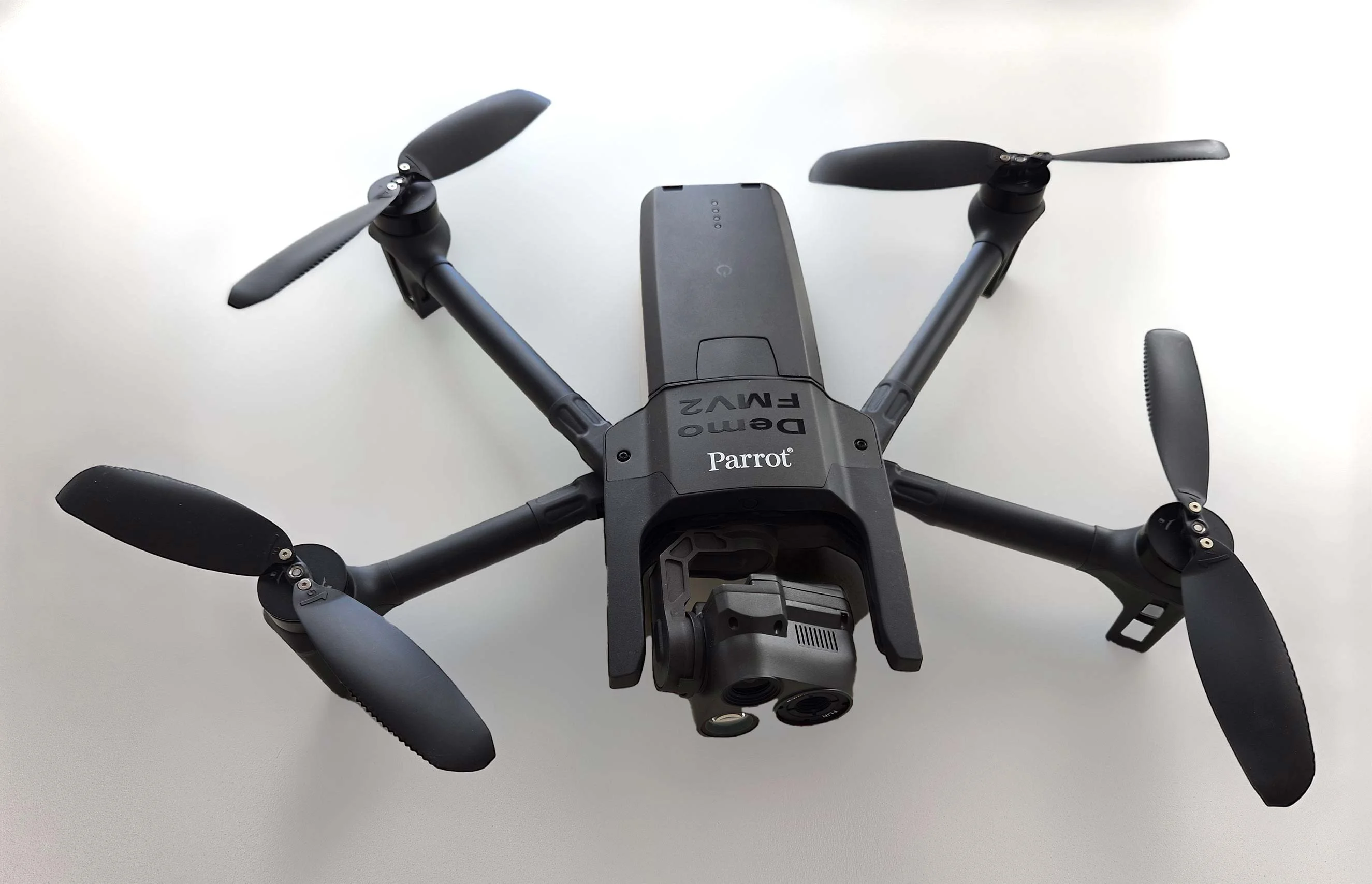
As part of Project Demo UCAV, Carmenta is proud to have participated in a drone exercise during Aurora 26, where its technology was used for UAS routing and mission planning.
Read more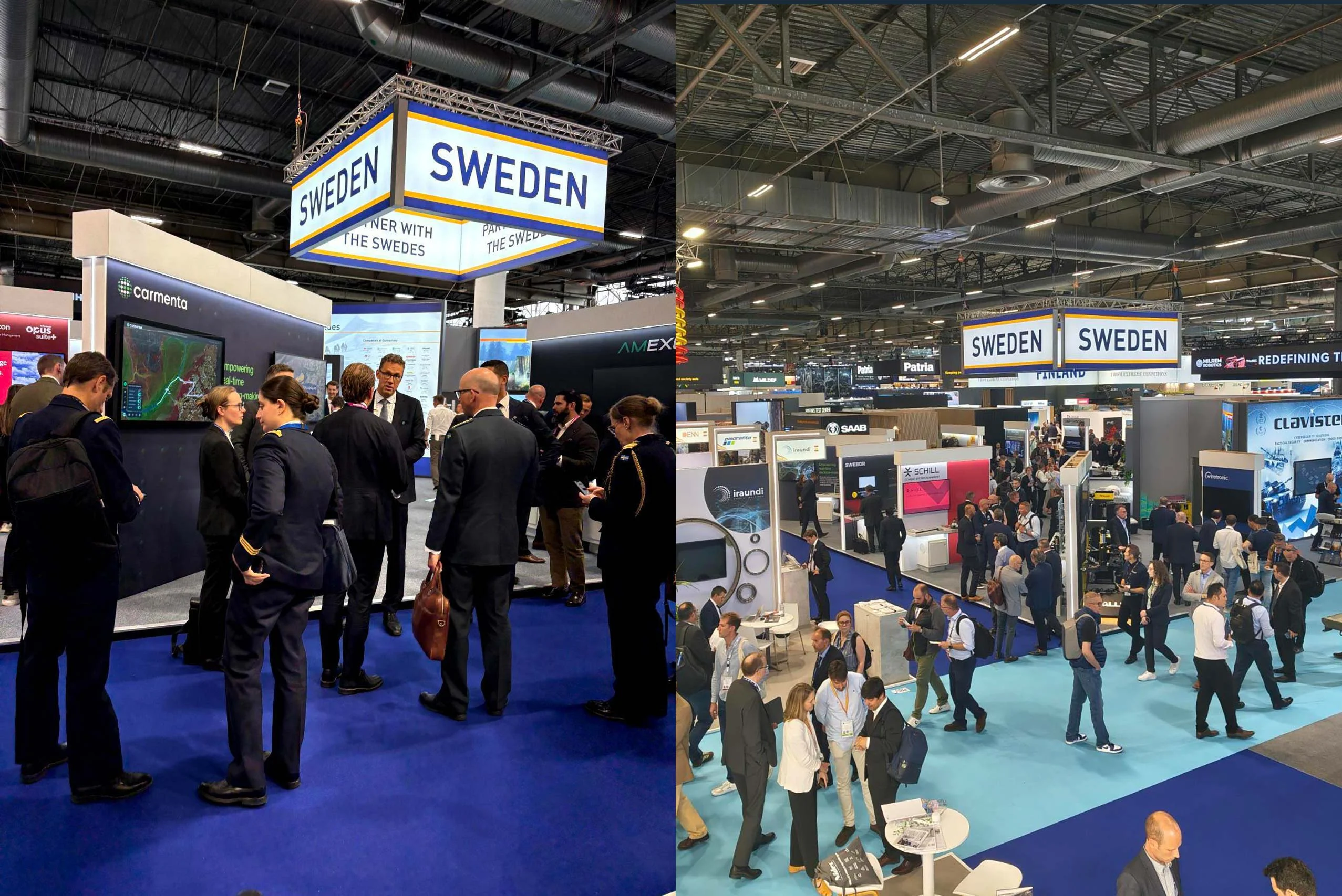
Beyond the scale of the exhibition, discussions centred on stronger European cooperation, increasing integration across domains, and a growing need to turn complex data into usable operational insight.
Read more