Carmenta in drone exercise during Aurora 26
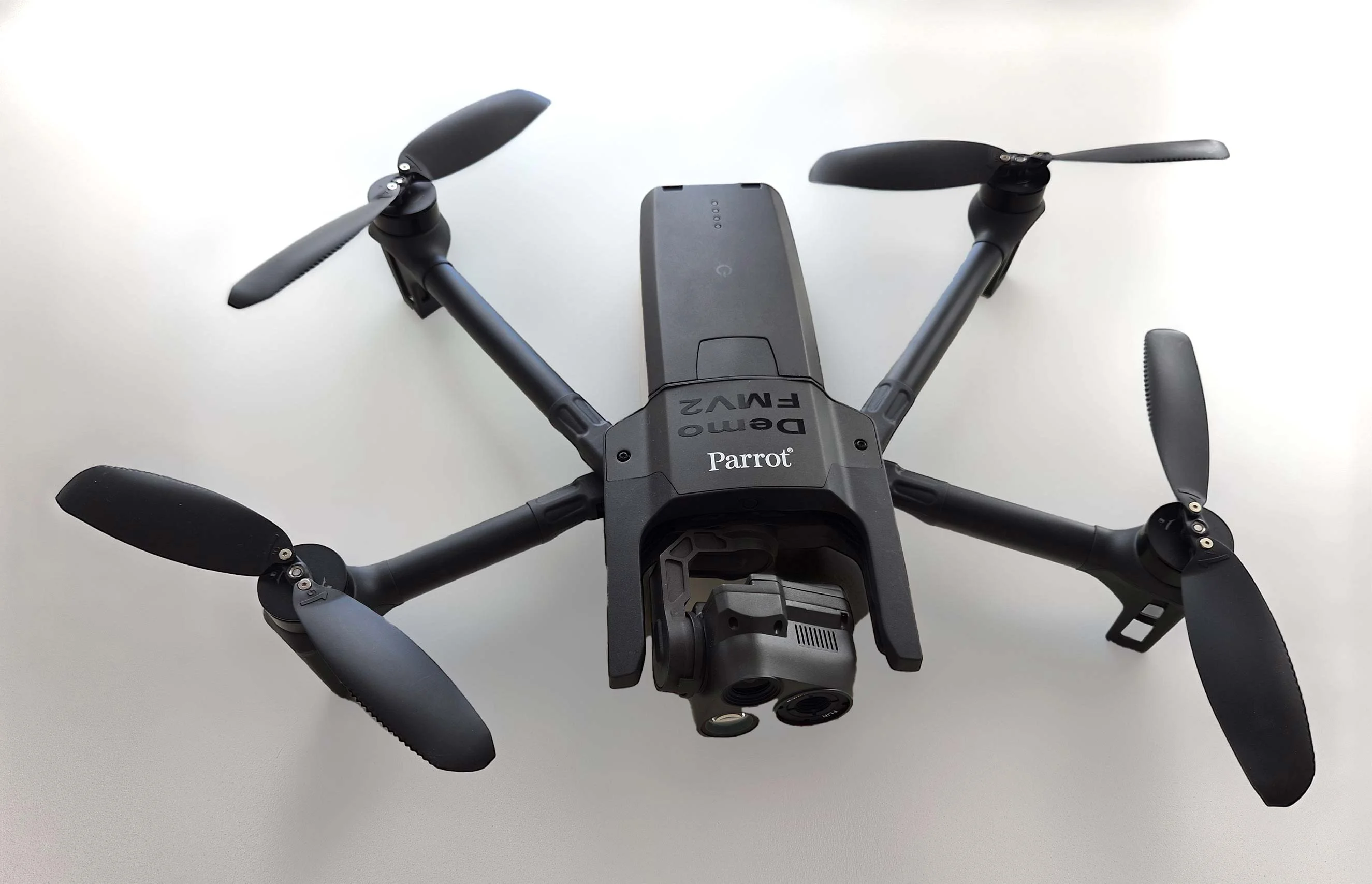
As part of Project Demo UCAV, Carmenta is proud to have participated in a drone exercise during Aurora 26, where its technology was used for UAS routing and mission planning.
Read more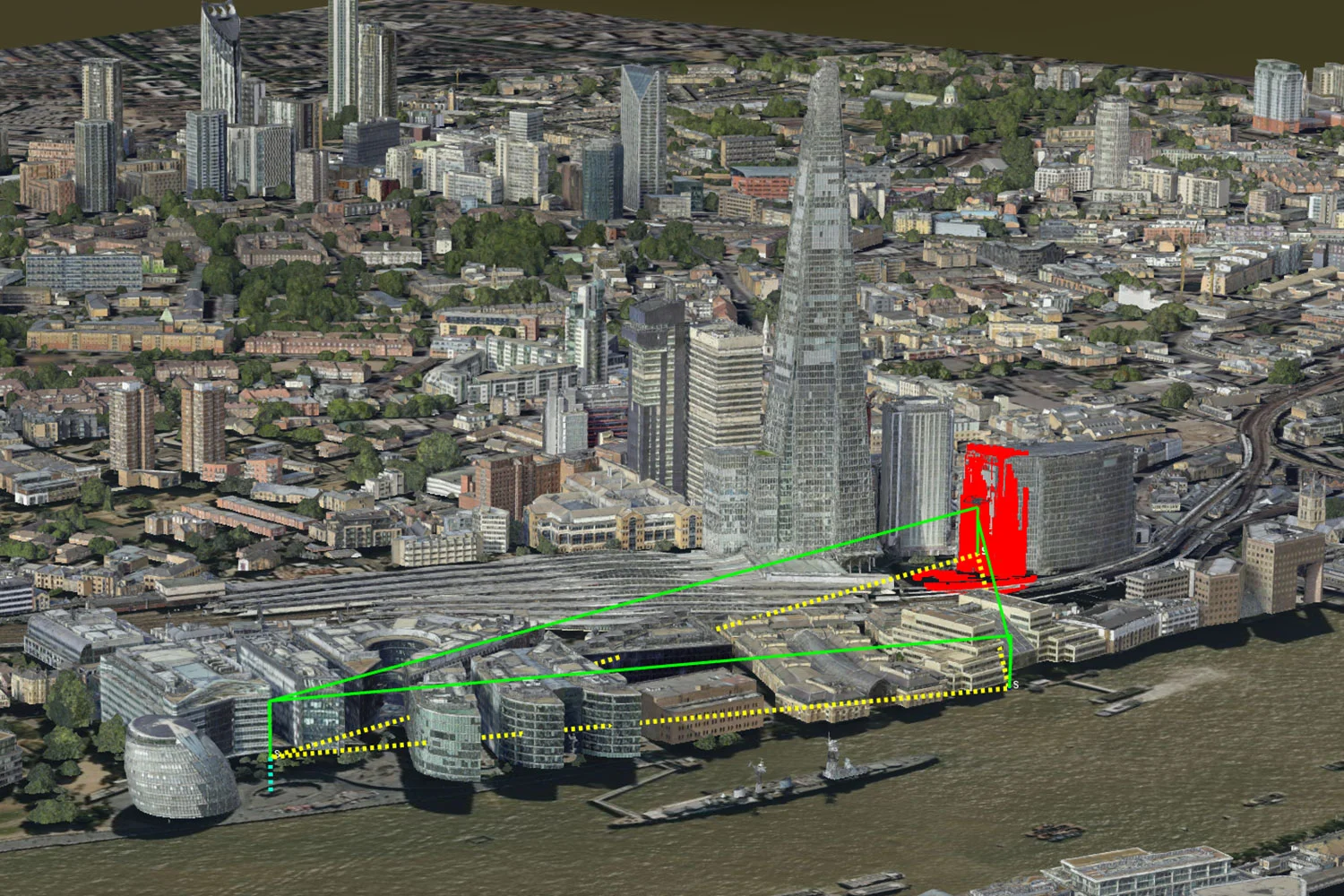
Today, at DroneX Exhibition in London, Carmenta launches a new mission planning service for uncrewed systems. Carmenta UAS Services – Beta Version allows software developers to easily integrate advanced routing and geospatial analysis capabilities for autonomous flights.
From reconnaissance and target tracking to intelligence gathering, perimeter surveillance, transportation, and resupply, Carmenta UAS Services – Beta Version enhances the predictability and reliability of uncrewed missions in both military and high-end civil use.
Use cases include perimeter surveillance, infrastructure inspection, incident response, and package delivery. The mission planning parameters include considerations such as safe flight zones, restricted airspace, sensor coverage, and the deconfliction of overlapping UAS flight corridors.
Come by our booth (F40) for a live demo and introduction to the product. We look forward to seeing you there!

Subscribe to our newsletter to receive:
Sign up today to get the latest geospatial technology updates and insights!
As part of Project Demo UCAV, Carmenta is proud to have participated in a drone exercise during Aurora 26, where its technology was used for UAS routing and mission planning.
Read more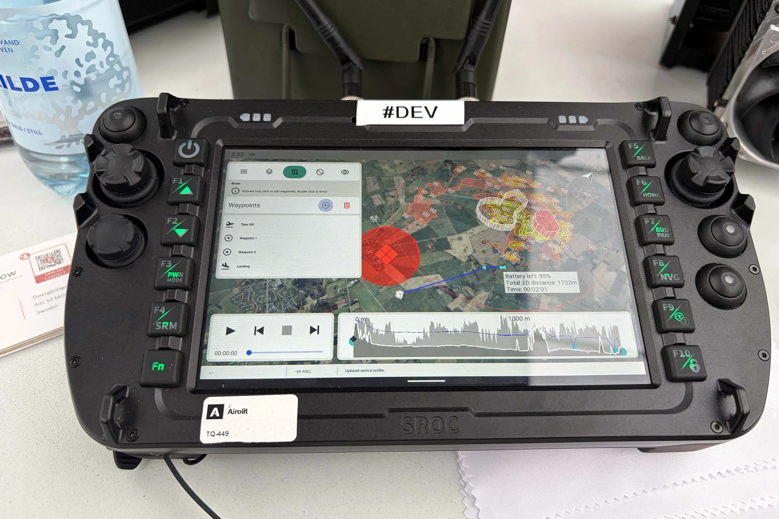
At the International Drone Show, Carmenta and Airolit demonstrated how easily Carmenta UAS Mission Kit integrates into existing UAV ecosystems.
Read more
Yesterday, we hosted a conference session at International Drone Show in Odense, Denmark, on a topic that is becoming increasingly relevant in defence: Uncrewed Military Mobility Across All Domains – From Sea to Land to Air.
Read more