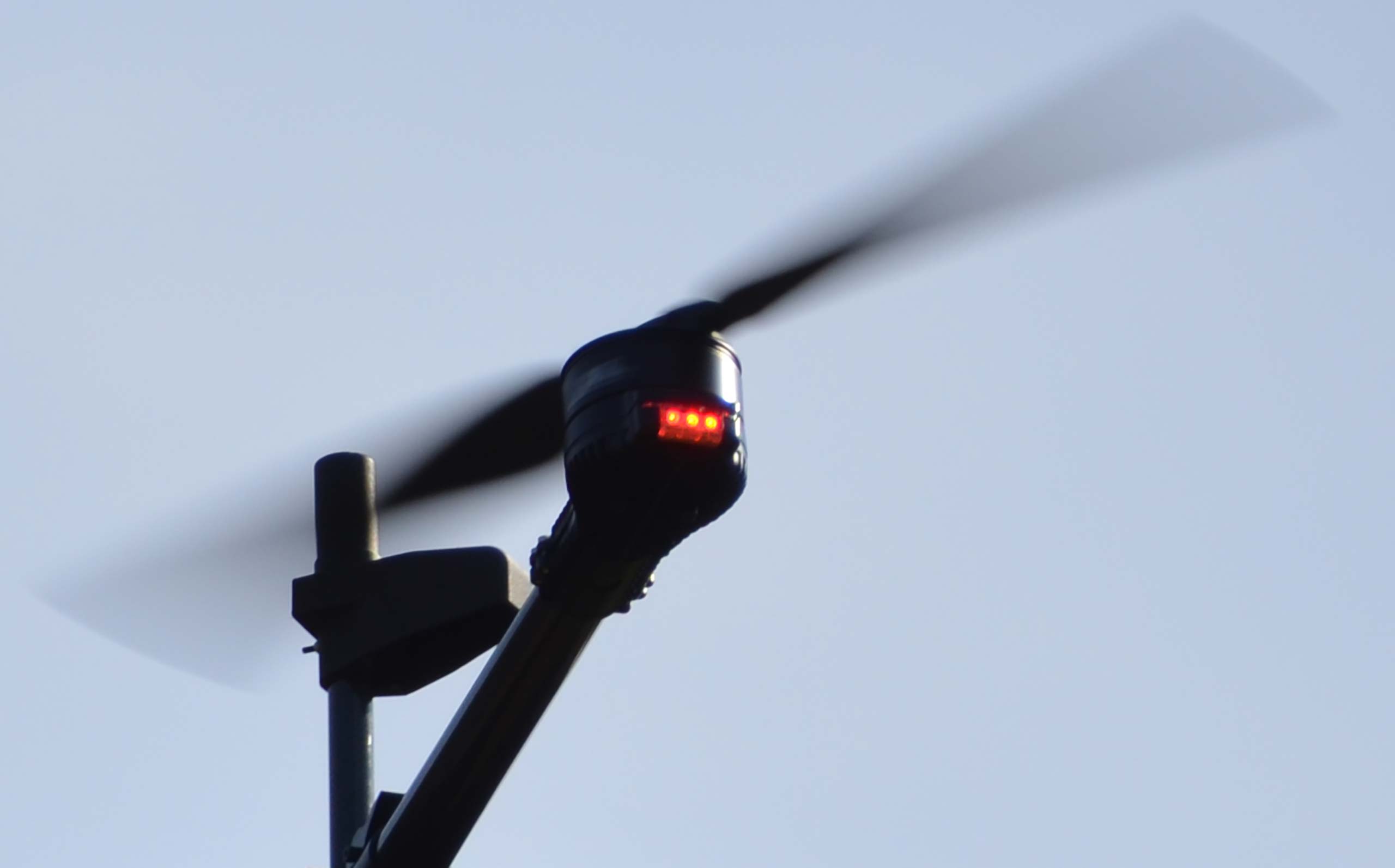
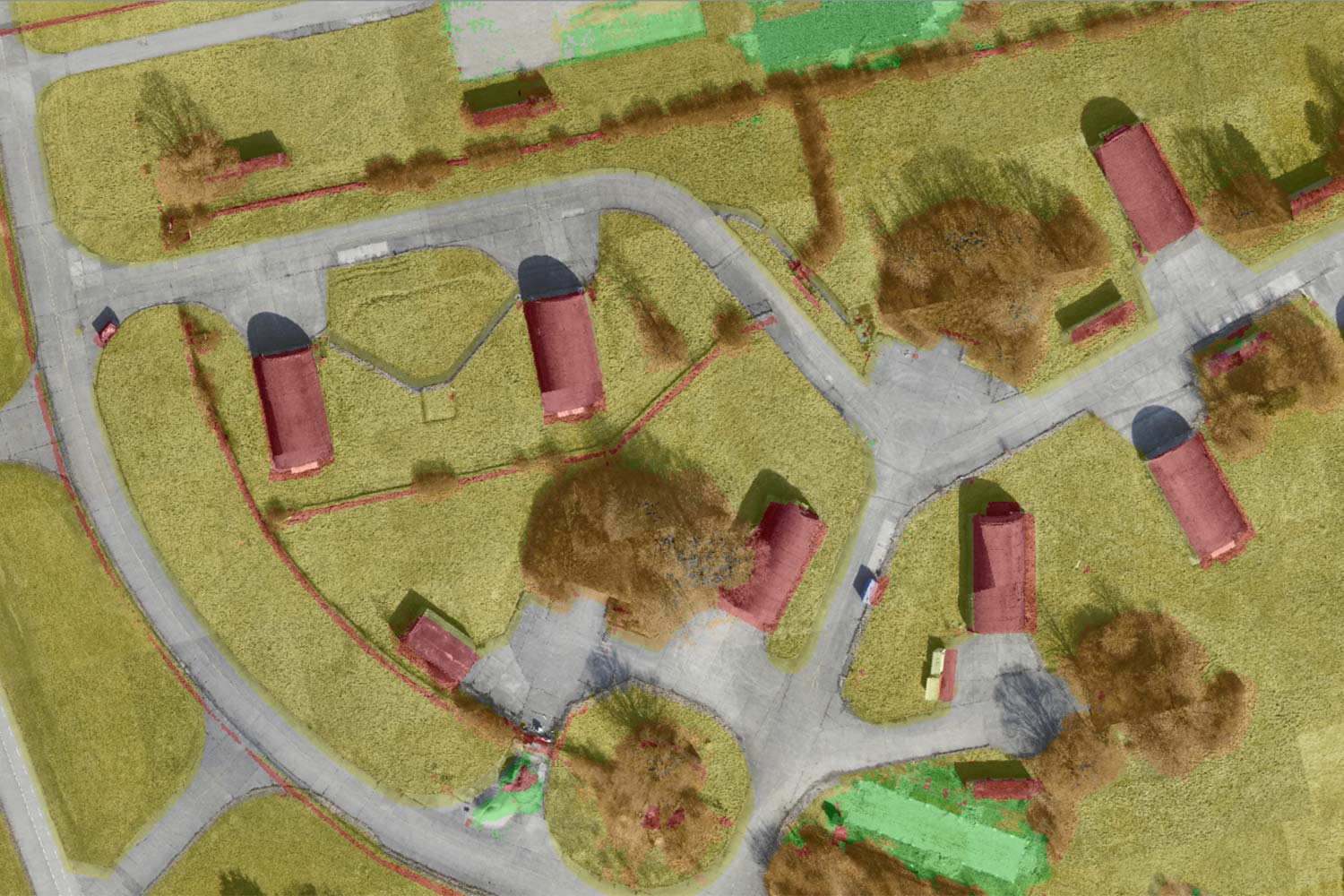
Real-time situational awareness for managing UAS missions
The latest issue of Defence & Security Systems International magazine, features an interesting article about Carmenta technology. It describes how real-time handling and analysis of geospatial data from diverse sources allows for dynamic decision-making, which is crucial for efficient planning and management of UAS missions.
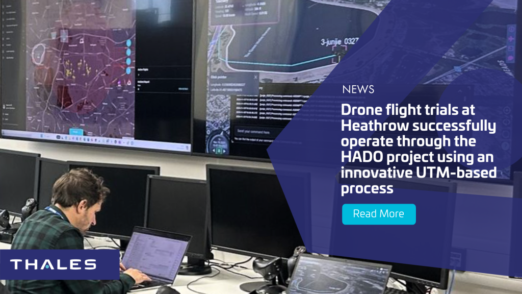
Different use cases, such as evaluating safe landing zones and generating routes focused on stealth, are explored. Project HADO (High-intensity Autonomous Drone Operations) at Heathrow is presented as an example use case, where advanced real-time geospatial analysis and UAS routing capabilities are used to plan BVLOS routes.
Read the full article