Carmenta in drone exercise during Aurora 26
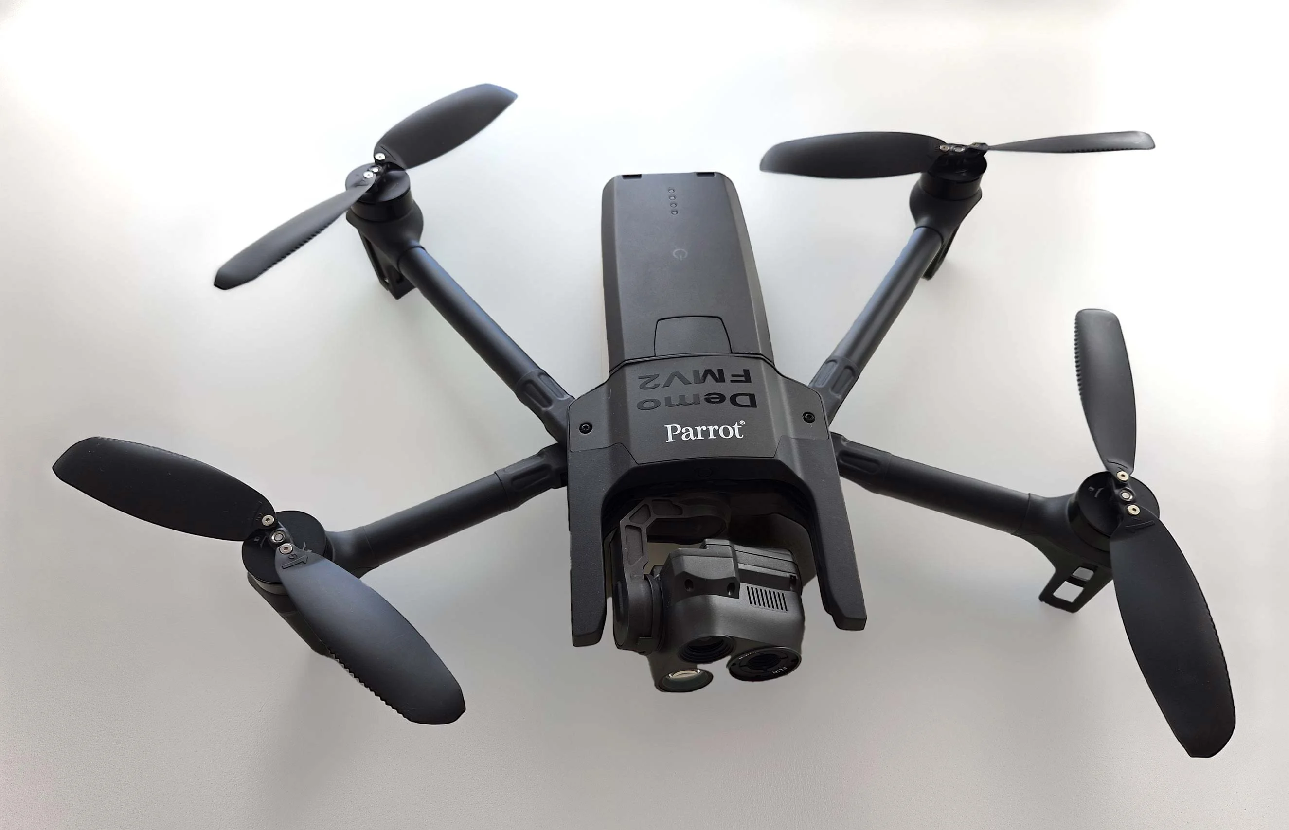
As part of Project Demo UCAV, Carmenta is proud to have participated in a drone exercise during Aurora 26, where its technology was used for UAS routing and mission planning.
Read moreThis webinar presents the advantages of using Carmenta Engine combined with High Resolution data in a UAS mission planning, operation and debriefing, see the webinar:
As part of Project Demo UCAV, Carmenta is proud to have participated in a drone exercise during Aurora 26, where its technology was used for UAS routing and mission planning.
Read more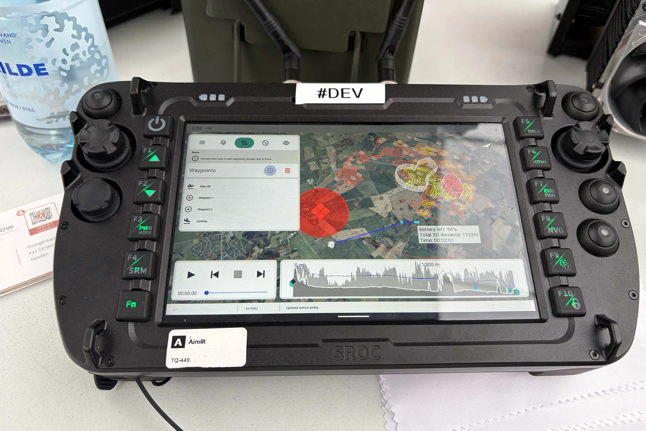
At the International Drone Show, Carmenta and Airolit demonstrated how easily Carmenta UAS Mission Kit integrates into existing UAV ecosystems.
Read more
Yesterday, we hosted a conference session at International Drone Show in Odense, Denmark, on a topic that is becoming increasingly relevant in defence: Uncrewed Military Mobility Across All Domains – From Sea to Land to Air.
Read more