
We're Hiring! Backend Developer (.NET)
Join our team! Carmenta is looking for a Backend Developer (.NET) to help build a modern system for information processing, data integration, and tactical analysis.
Read more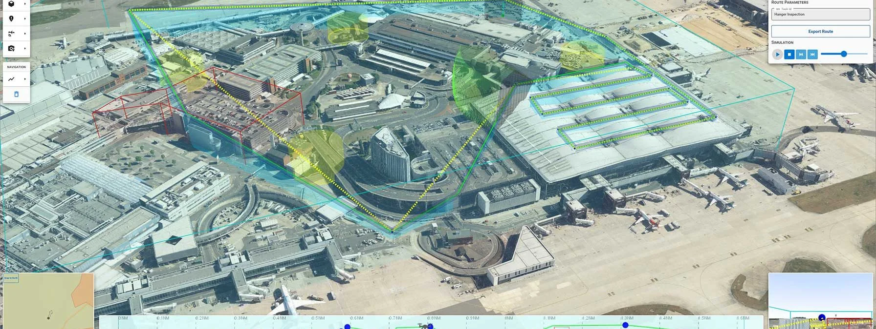
Operating drones in highly congested urban environments is a challenge. To do it beyond visual line of sight (BVLOS) and autonomously, is an even greater challenge.
This is what Carmenta technology is currently being developed to address within the HADO® Project, initiated by Innovate UK. The goal is to implement the first real-world application of such as system at London Heathrow Airport.
The use cases in the project include perimeter surveillance, infrastructure inspection, incident inspection, and package delivery. Carmenta technology uses a high-resolution 3D model to generates an optimal route, considering obstacles such as buildings, restriction areas, overlapping UAS flight corridors, and sensor coverage. If the conditions for the route change, the route is regenerated and adapted in real-time.
In a series of videos, we will showcase various capabilities developed and used in the HADO project, ranging from mission planning (tactical planning) to placing a camera path with area restrictions, conducting building inspection, and managing dynamic hazards and swarm routing.
Join our team! Carmenta is looking for a Backend Developer (.NET) to help build a modern system for information processing, data integration, and tactical analysis.
Read more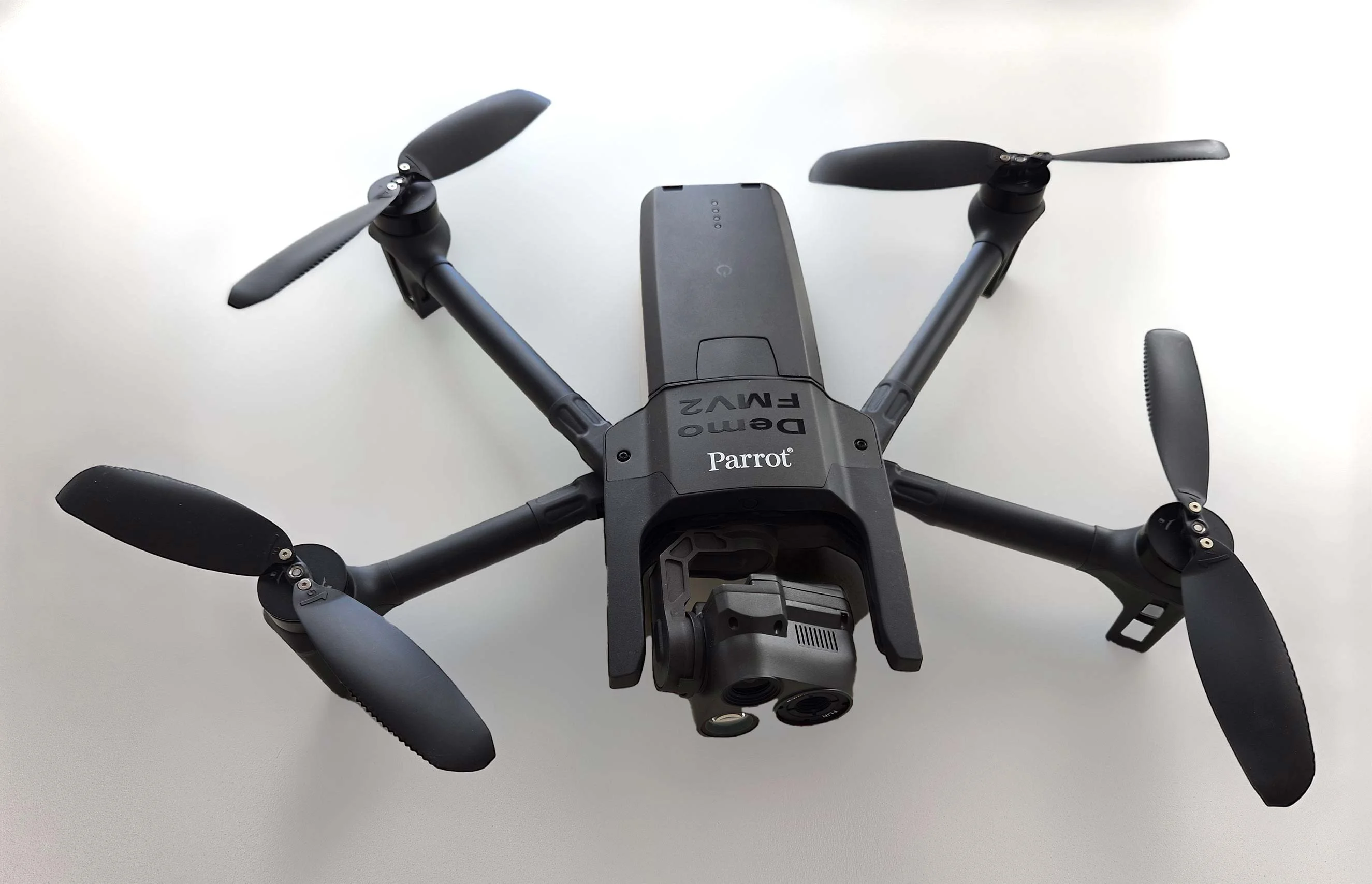
As part of Project Demo UCAV, Carmenta is proud to have participated in a drone exercise during Aurora 26, where its technology was used for UAS routing and mission planning.
Read more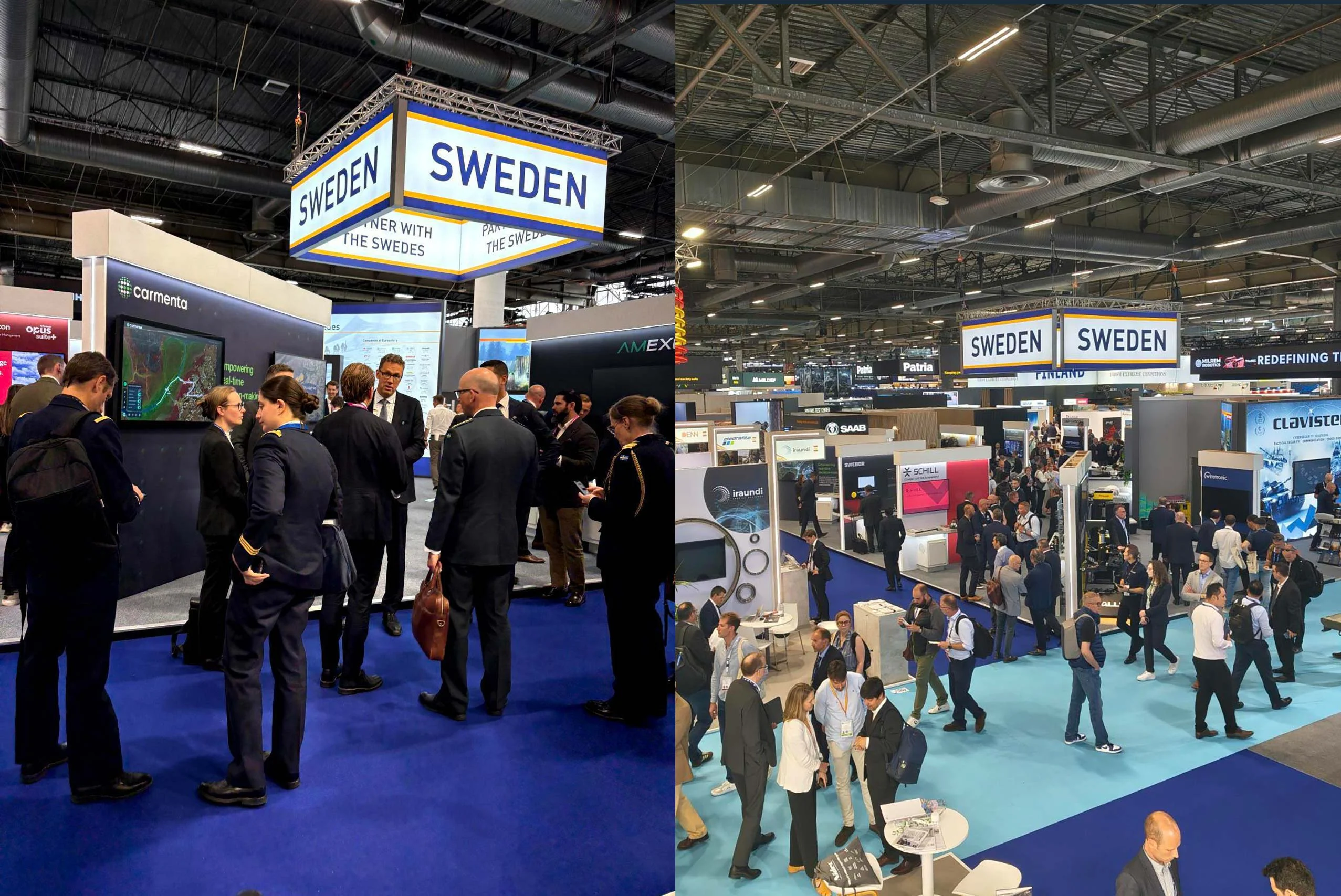
Beyond the scale of the exhibition, discussions centred on stronger European cooperation, increasing integration across domains, and a growing need to turn complex data into usable operational insight.
Read more