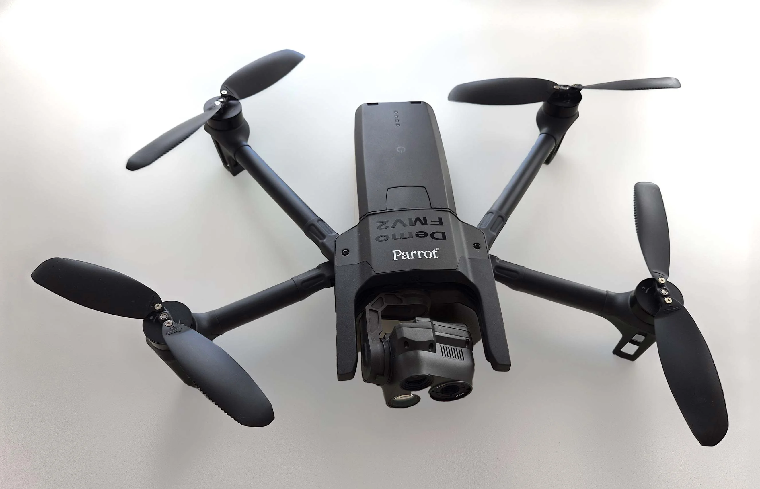
Carmenta in drone exercise during Aurora 26
As part of Project Demo UCAV, Carmenta is proud to have participated in a drone exercise during Aurora 26, where its technology was used for UAS routing and mission planning.
Read moreIn this presentation Jonas Envall will, in more depth, talk about some of the new functionalities for UAS that we have launched in Carmenta Engine 5.16. The video illustrates and exemplifies the display and analysis of geospatial information for UAS.
Determining safe landing zones is an essential part of many types of UAS missions. Candidates for safe landing zones can be calculated using terrain data and land classification along the planned route. In the flight planning safe landing zones can then be displayed, so that the drone can start its mission with good candidate areas where it can land safely. If needed the route can be dynamically adjusted to ensure that safe landing is possible during all of the mission.
Another vital part of UAV mission planning is the ability to calculate the best UAS route for a mission taking a number of parameters, including terrain and no-go zones into account. One type of such route is nap of earth flight that follows the terrain as much as possible making the drone difficult to detect.

Session Speaker
Jonas Envall
Carmenta Geospatial Technologies AB
Business Development Director UAS
As part of Project Demo UCAV, Carmenta is proud to have participated in a drone exercise during Aurora 26, where its technology was used for UAS routing and mission planning.
Read more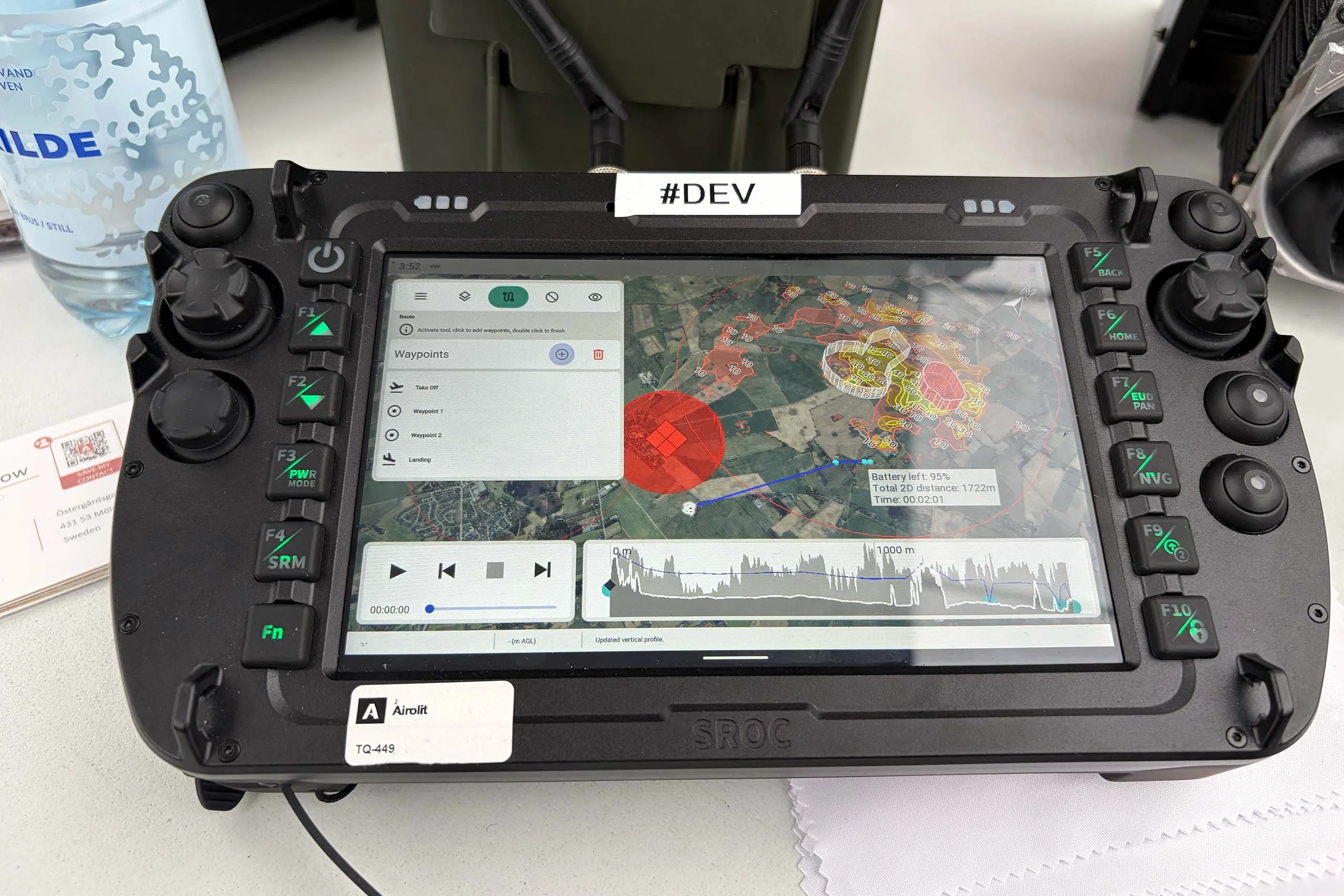
At the International Drone Show, Carmenta and Airolit demonstrated how easily Carmenta UAS Mission Kit integrates into existing UAV ecosystems.
Read more
Yesterday, we hosted a conference session at International Drone Show in Odense, Denmark, on a topic that is becoming increasingly relevant in defence: Uncrewed Military Mobility Across All Domains – From Sea to Land to Air.
Read more