Carmenta presented at XPONENTIAL Europe 2026
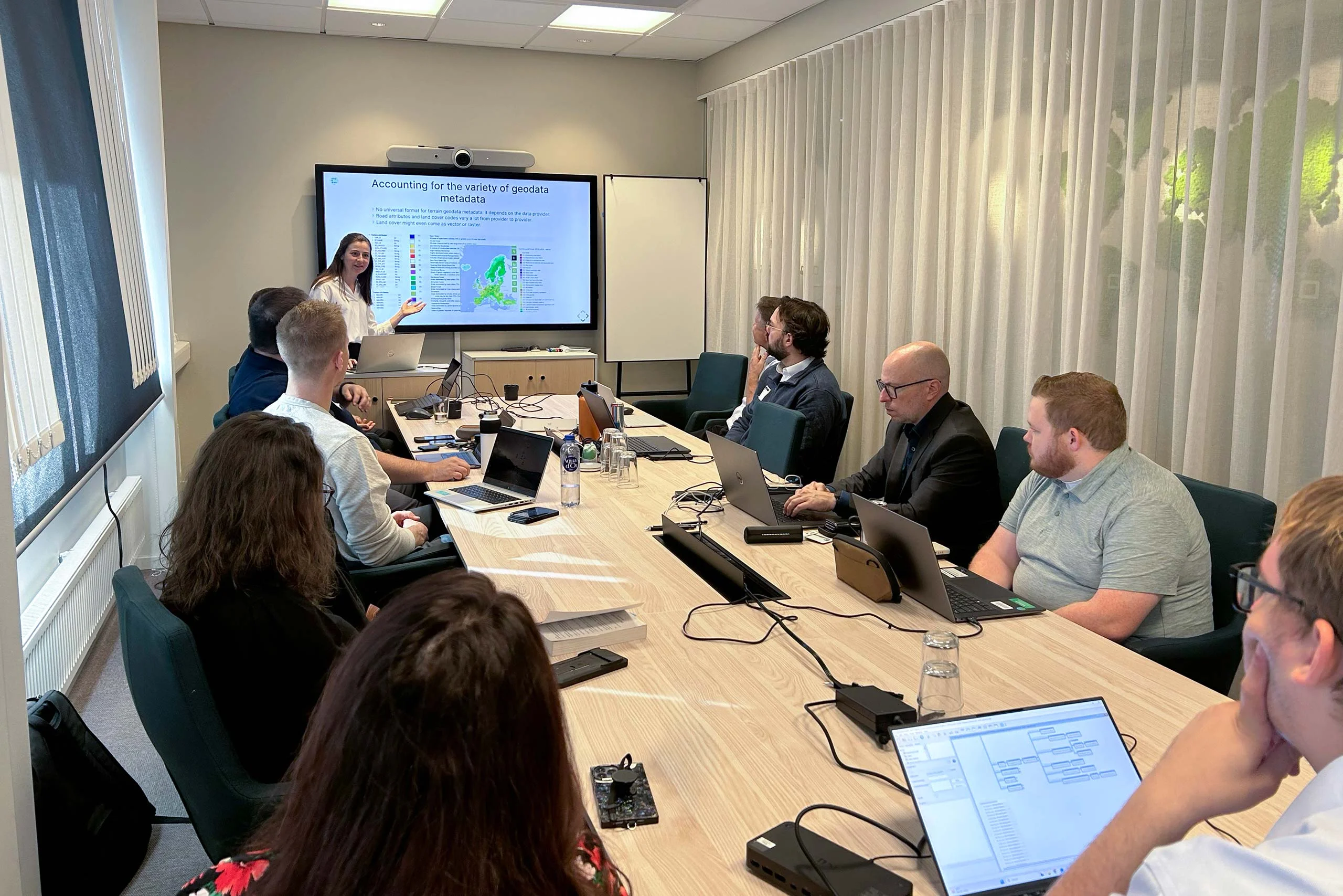
Yesterday, we had the honor of presenting at XPONENTIAL Europe 2026 on the topic "Uncrewed Military Mobility Across All Domains - From Sea to Land to Air".
Read more
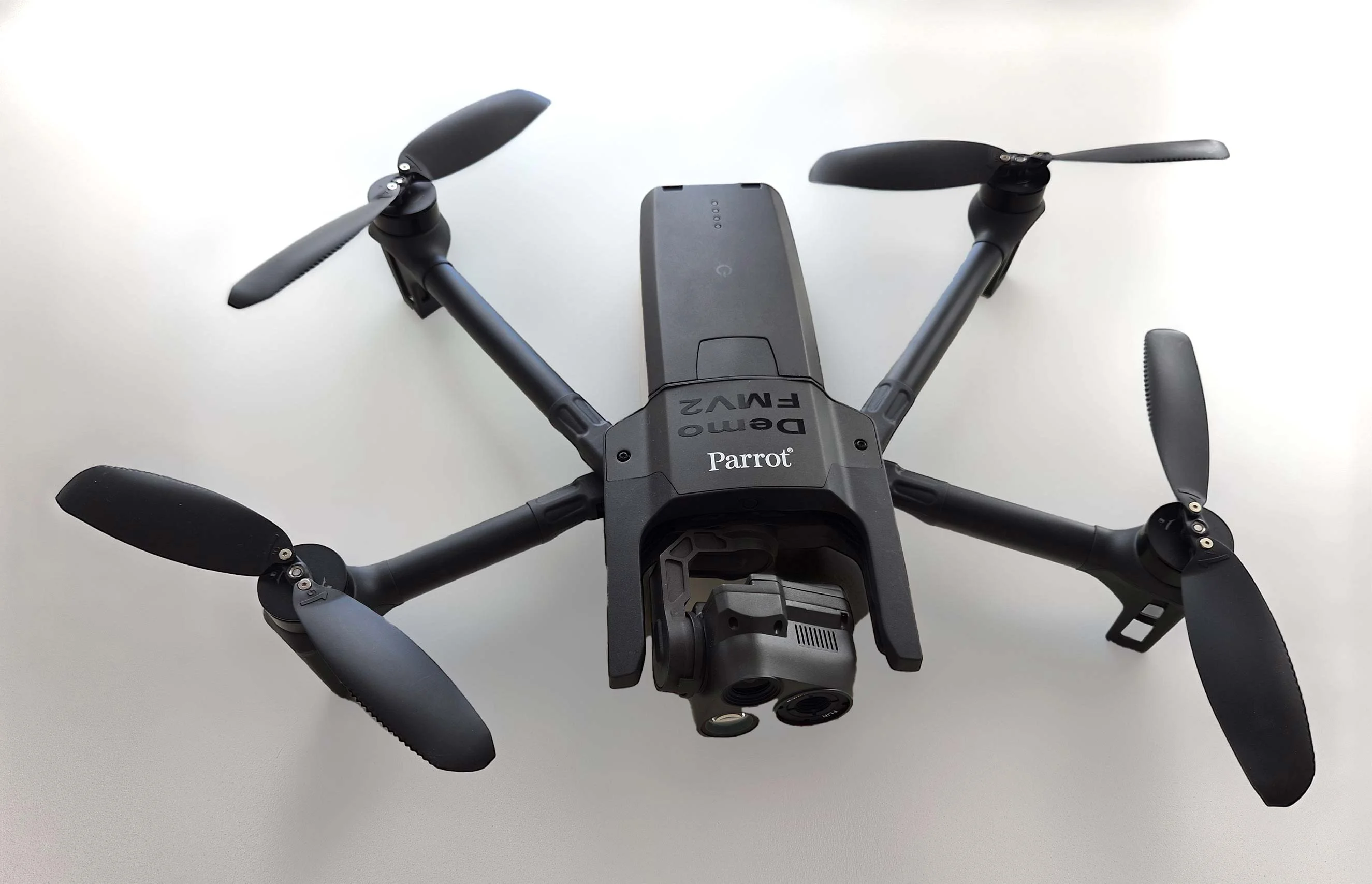
The latest issue of Defence & Security Systems International magazine, features an interesting article about Carmenta technology. It describes how real-time handling and analysis of geospatial data from diverse sources allows for dynamic decision-making, which is crucial for efficient planning and management of UAS missions.
Different use cases, such as evaluating safe landing zones and generating routes focused on stealth, are explored. Project HADO (High-intensity Autonomous Drone Operations) at Heathrow is presented as an example use case, where advanced real-time geospatial analysis and UAS routing capabilities are used to plan BVLOS routes.

Yesterday, we had the honor of presenting at XPONENTIAL Europe 2026 on the topic "Uncrewed Military Mobility Across All Domains - From Sea to Land to Air".
Read more
There is no reason why the map display in a mission-critical system should be any less responsive or visually appealing than the map on a smartphone. In our latest article, we outline 7 core geospatial requirements for mission-critical applications, and how Carmenta technology can meet these needs.
Read more
Earlier this year, Carmenta participated in a Vinnova Innovair funded project together with Spacemetric and PandionAI. The initiative aimed to create a solution capable of processing and visualizing real-time AI-enhanced drone data.
Read more