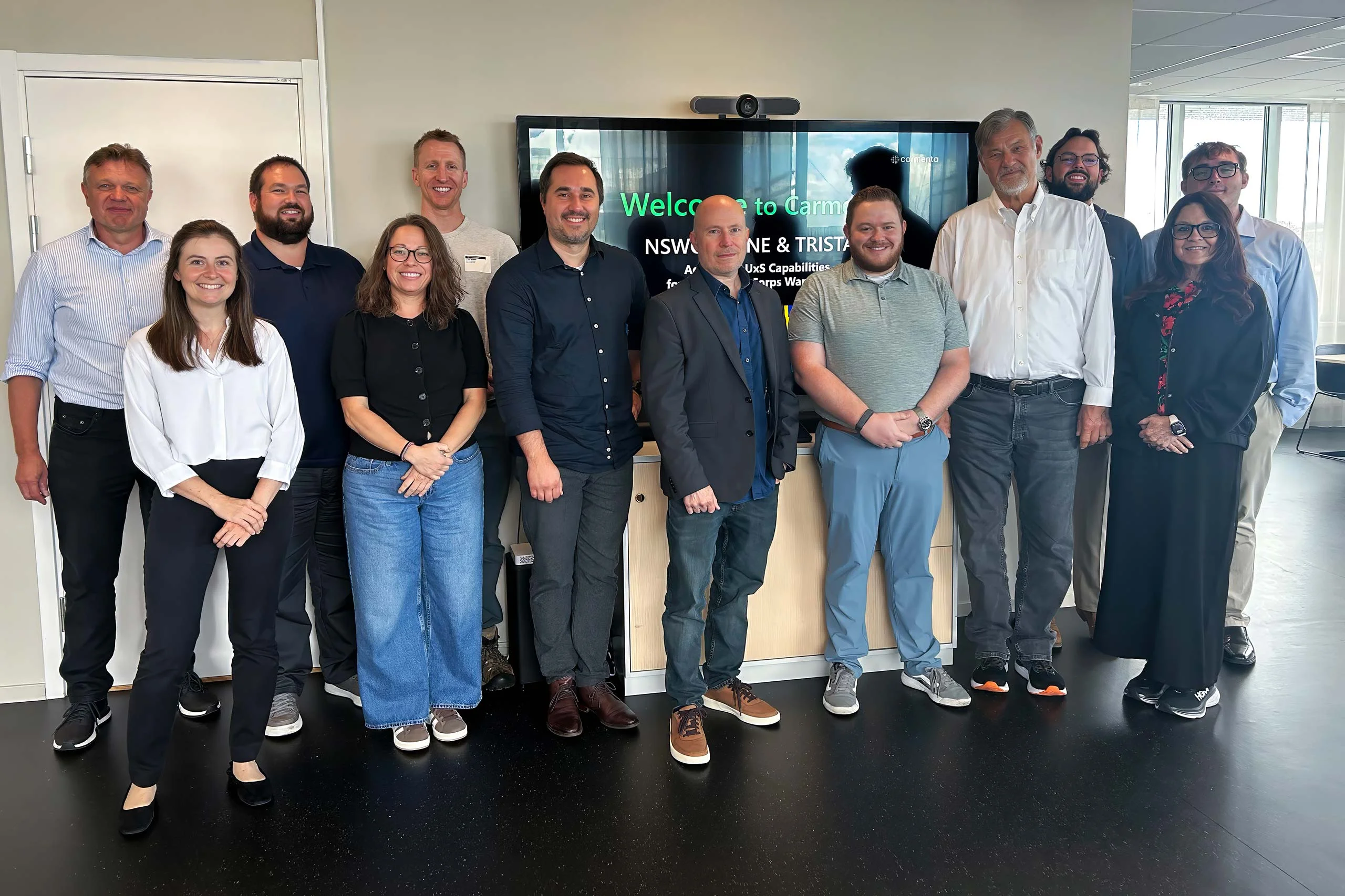
Carmenta presented at XPONENTIAL Europe 2026
Yesterday, we had the honor of presenting at XPONENTIAL Europe 2026 on the topic "Uncrewed Military Mobility Across All Domains - From Sea to Land to Air".
Read more
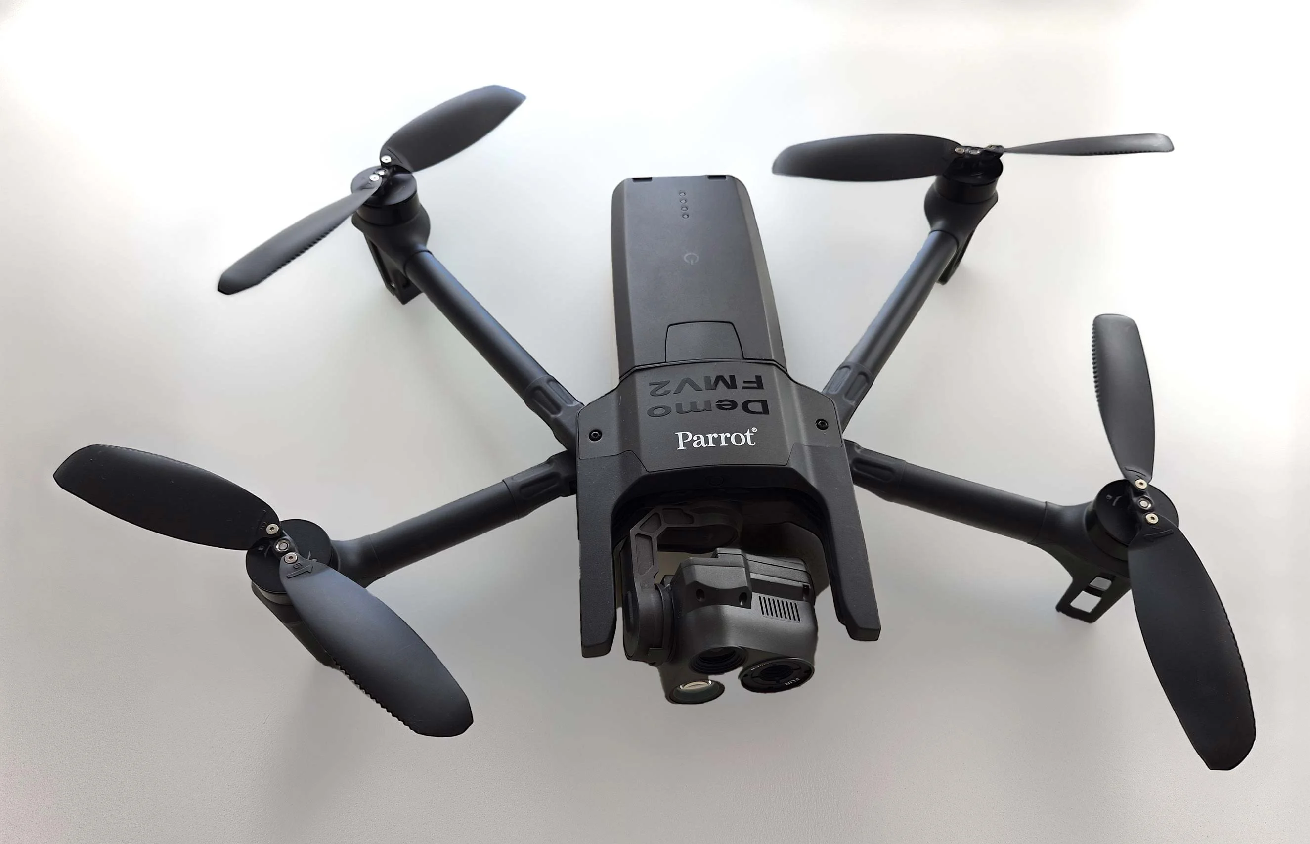
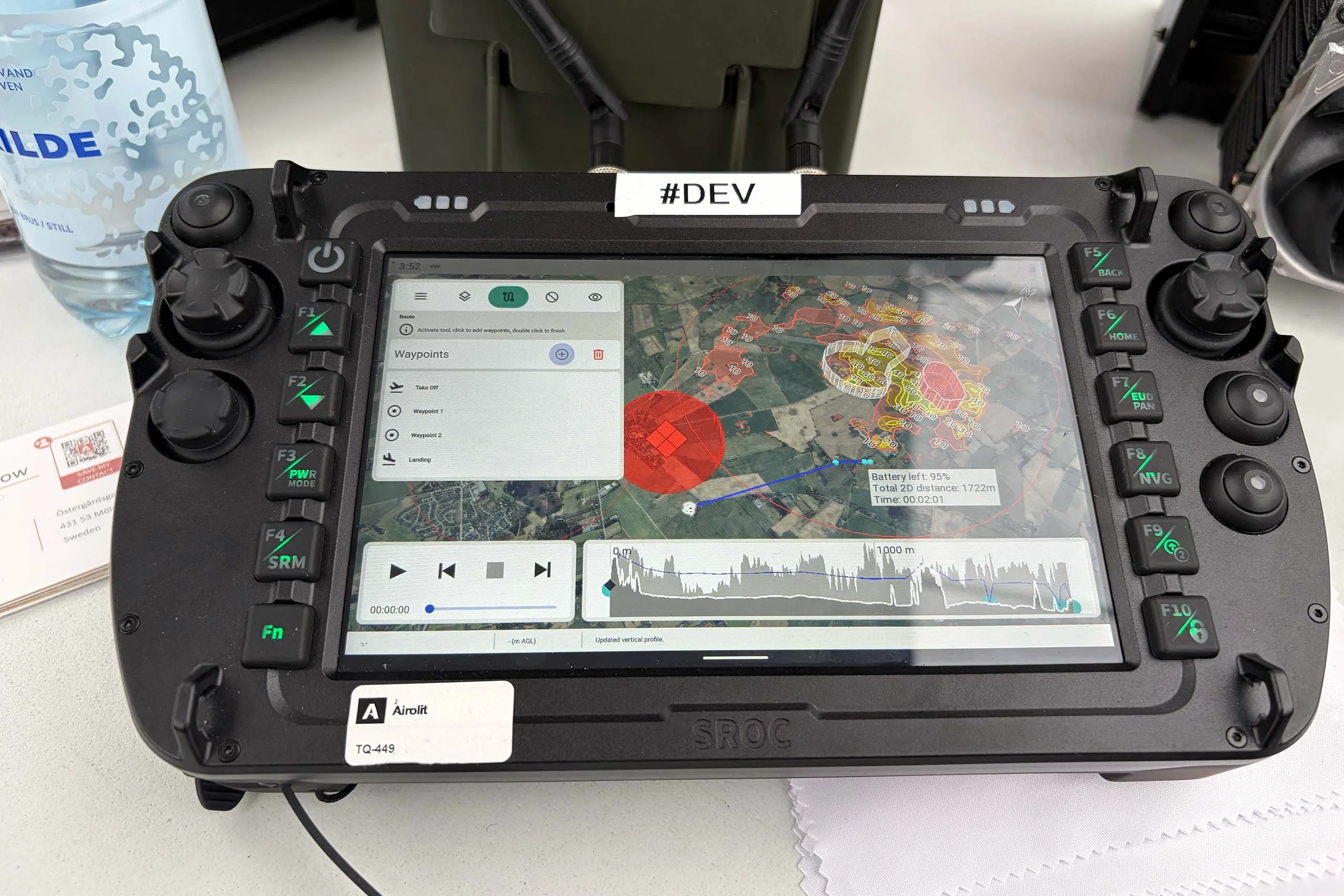
How can we solve some of the pressing issues faced by UAS service providers, ranging from technical hurdles and regulatory compliance to airspace integration and Beyond Visual Line of Sight (BVLOS) operations?
Join our free upcoming webinar ‘Enhancing Efficiency and Safety in UAS Operations’, October 17th, for an overview of the critical challenges and opportunities in UAS Mission Planning, as well as an introduction to Carmenta UAS Services.
For those of you that have already got started with a trial of Carmenta UAS Services, the webinar also includes a “How to get started” session on how the API and technology works.
Want to watch on-demand? To watch the webinar after the event has taken place, sign up on the same link below, and watch the webinar on-demand.

Subscribe to our newsletter to receive:
Sign up today to get the latest geospatial technology updates and insights!

Yesterday, we had the honor of presenting at XPONENTIAL Europe 2026 on the topic "Uncrewed Military Mobility Across All Domains - From Sea to Land to Air".
Read more
There is no reason why the map display in a mission-critical system should be any less responsive or visually appealing than the map on a smartphone. In our latest article, we outline 7 core geospatial requirements for mission-critical applications, and how Carmenta technology can meet these needs.
Read more
Earlier this year, Carmenta participated in a Vinnova Innovair funded project together with Spacemetric and PandionAI. The initiative aimed to create a solution capable of processing and visualizing real-time AI-enhanced drone data.
Read more