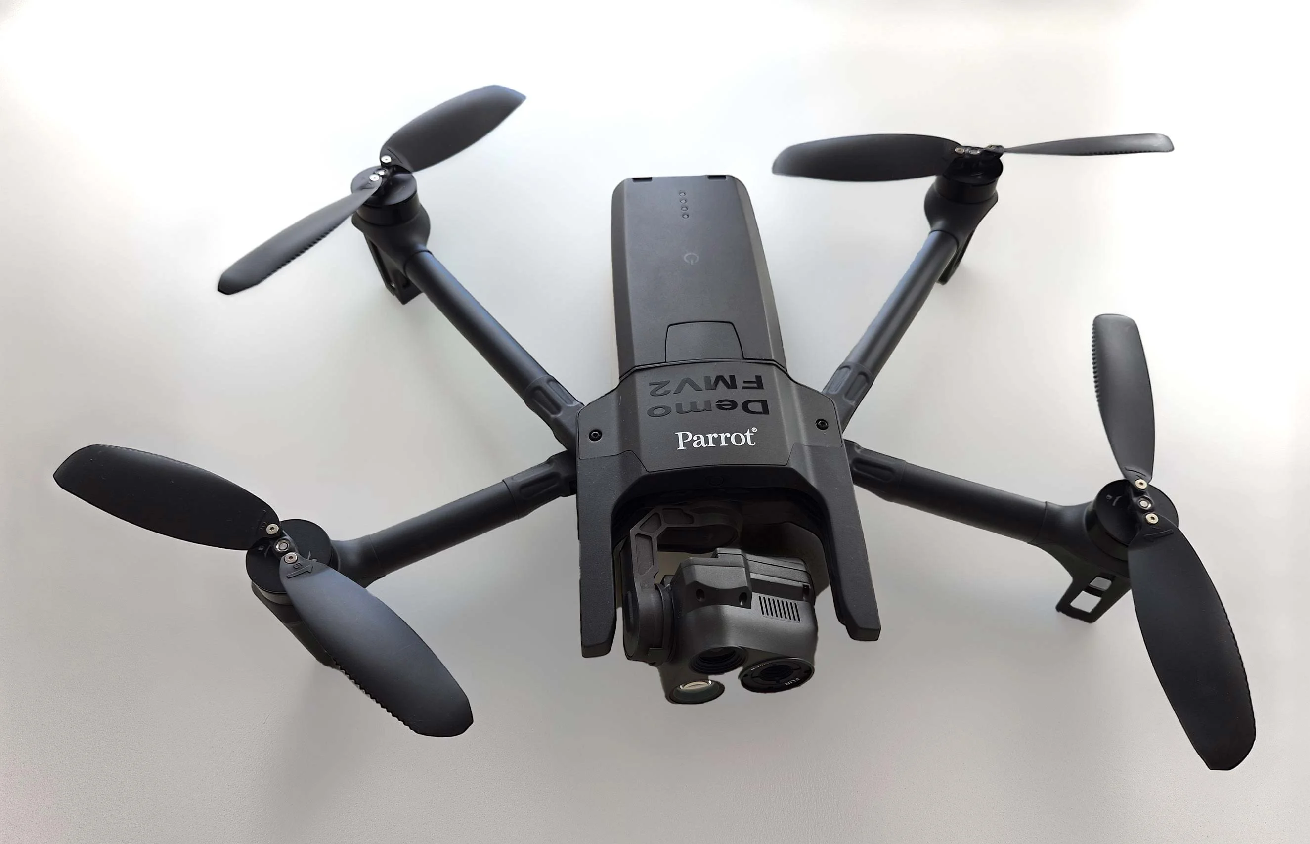
Carmenta in drone exercise during Aurora 26
As part of Project Demo UCAV, Carmenta is proud to have participated in a drone exercise during Aurora 26, where its technology was used for UAS routing and mission planning.
Read more
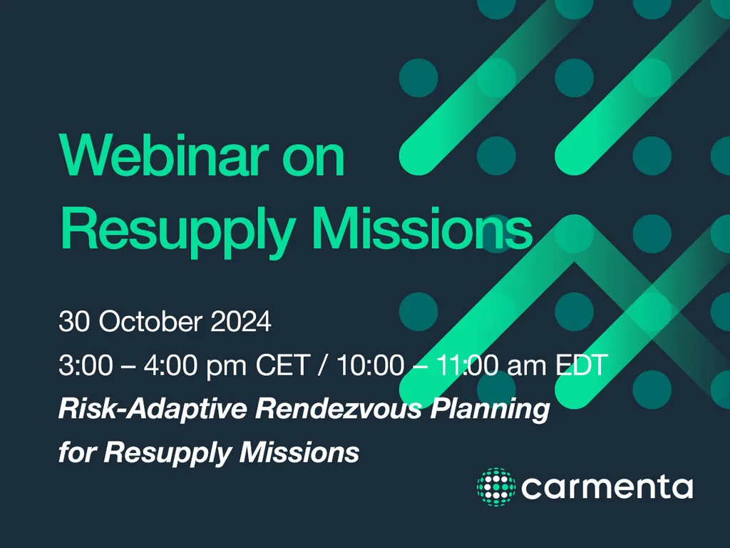
The 30 October we are hosting a live webinar on the critical aspects of secure and timely resupply missions, including advanced and secure terrain routing, and risk management.
The session will cover advanced algorithms designed to enhance operational efficiency and safety in resupply missions.
The insights in this webinar were originally presented in one of the technical papers selected for and presented at GVSETS in August 2024. The webinar will provide an overview and introduction into off-road trafficability as well as the key insights from the GVSETS technical session.
Want to watch on-demand? To watch the webinar after the event has taken place, sign up on the same link below, and watch the webinar on-demand.
Subscribe to our newsletter to receive:
Sign up today to get the latest geospatial technology updates and insights!
As part of Project Demo UCAV, Carmenta is proud to have participated in a drone exercise during Aurora 26, where its technology was used for UAS routing and mission planning.
Read more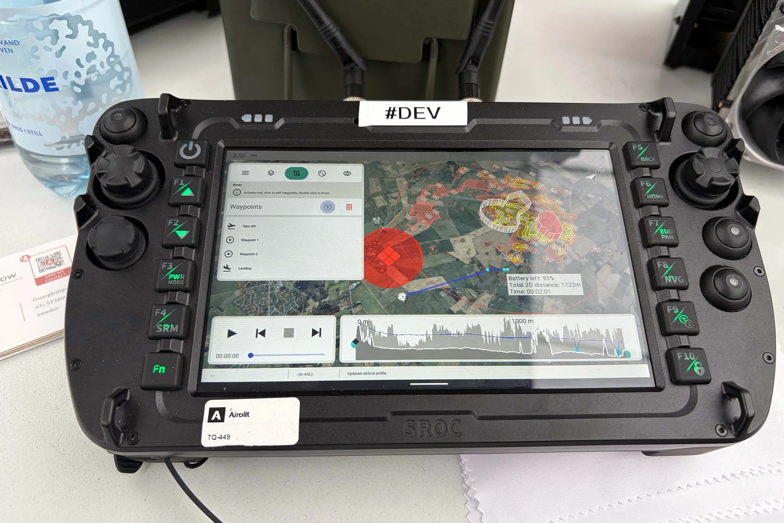
At the International Drone Show, Carmenta and Airolit demonstrated how easily Carmenta UAS Mission Kit integrates into existing UAV ecosystems.
Read more
Carmenta is proud to participate in NATO's Coalition Warrior Interoperability Exercise (CWIX 2026) in collaboration with Allied Armed Forces, and to contribute to this collaborative effort.
Read more