Visibility Analysis
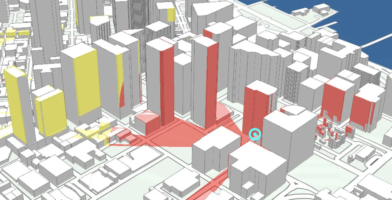

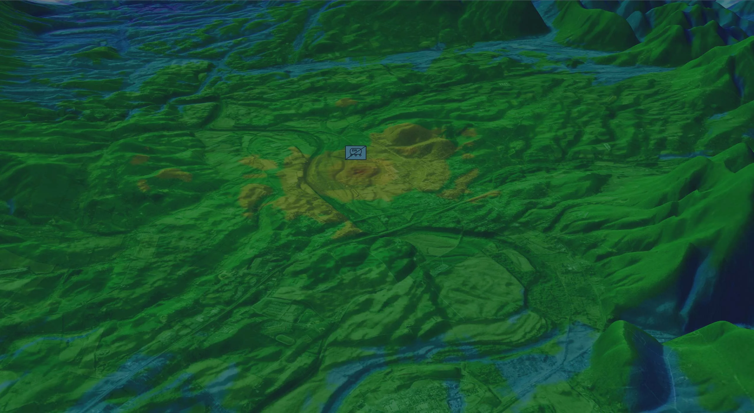
Modern military operations are increasingly conducted in contested electromagnetic environments. Electronic Warfare (EW), including Electronic Support (ES), Electronic Attack (EA) and Electronic Protection (EP), together with Signals Intelligence (SIGINT), depends on accurate, timely and shared situational awareness to support effective use of the electromagnetic spectrum.
Geospatial situational awareness in electronic warfare is the ability to understand, visualize and analyze electromagnetic activity, sensor data, military assets and environmental factors within their geographic context. By integrating these data sources into a common operational picture, military organizations can better understand the electromagnetic battlespace and make informed operational decisions.
Carmenta’s geospatial technology supports the development of EW systems through integrated geospatial software components, helping organizations visualize electromagnetic intelligence and operational data in their geographic context. Customers can integrate their own RF algorithms and propagation models with Carmenta’s geospatial functionality, combining their calculations with terrain data, geospatial analysis and map-based visualization. By integrating sensor information, SIGINT data, derived results, terrain data and operational assets, Carmenta helps operators and decision-makers understand the electromagnetic battlespace and support electronic warfare operations.
Electronic Support, Electronic Attack and Electronic Protection have distinct operational purposes but can benefit from a common geospatial foundation for integrating and visualizing electromagnetic, operational and geographic information.
Carmenta’s geospatial technology provides a common foundation for all three disciplines by integrating and visualizing data from sensors, intelligence sources and operational systems, analyzing terrain and line-of-sight conditions, and visualizing emitters, effects, threats and friendly assets in their geographic context. These capabilities help operators understand the electromagnetic environment, coordinate activities and make informed decisions across the full electronic warfare cycle.
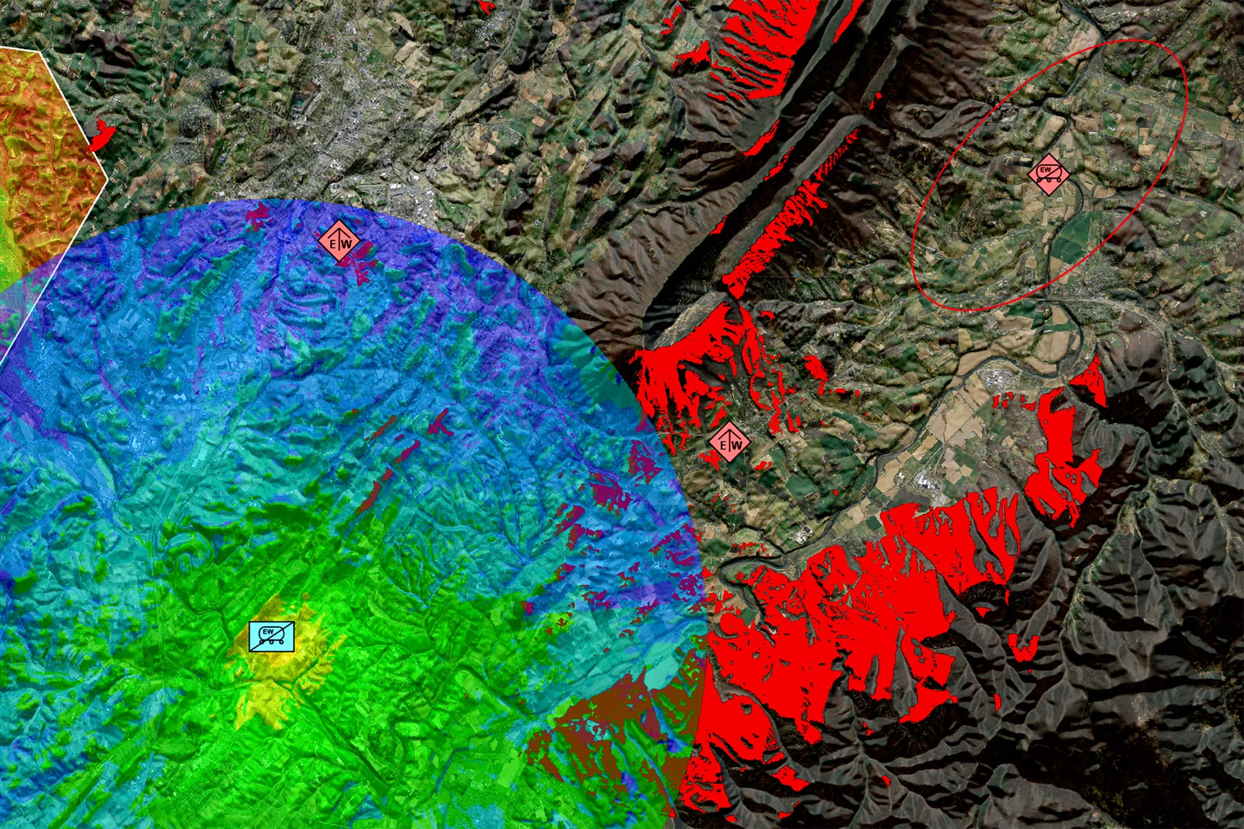
Figure 1: Radio propagation, line-of-sight and visibility-index results visualized together to support understanding of the electromagnetic environment.
Across Electronic Support, Electronic Attack and Electronic Protection, Carmenta’s geospatial technology enables a unified view of the electromagnetic environment through the following shared capabilities:
Geospatial visualization of electronic warfare sensor data, emitter information and complementary intelligence in a shared operational view.
Analysis of sensor placement, terrain, infrastructure and line-of-sight conditions, including the integration of customers’ own RF propagation models and visualization of the resulting coverage to support deployment planning.
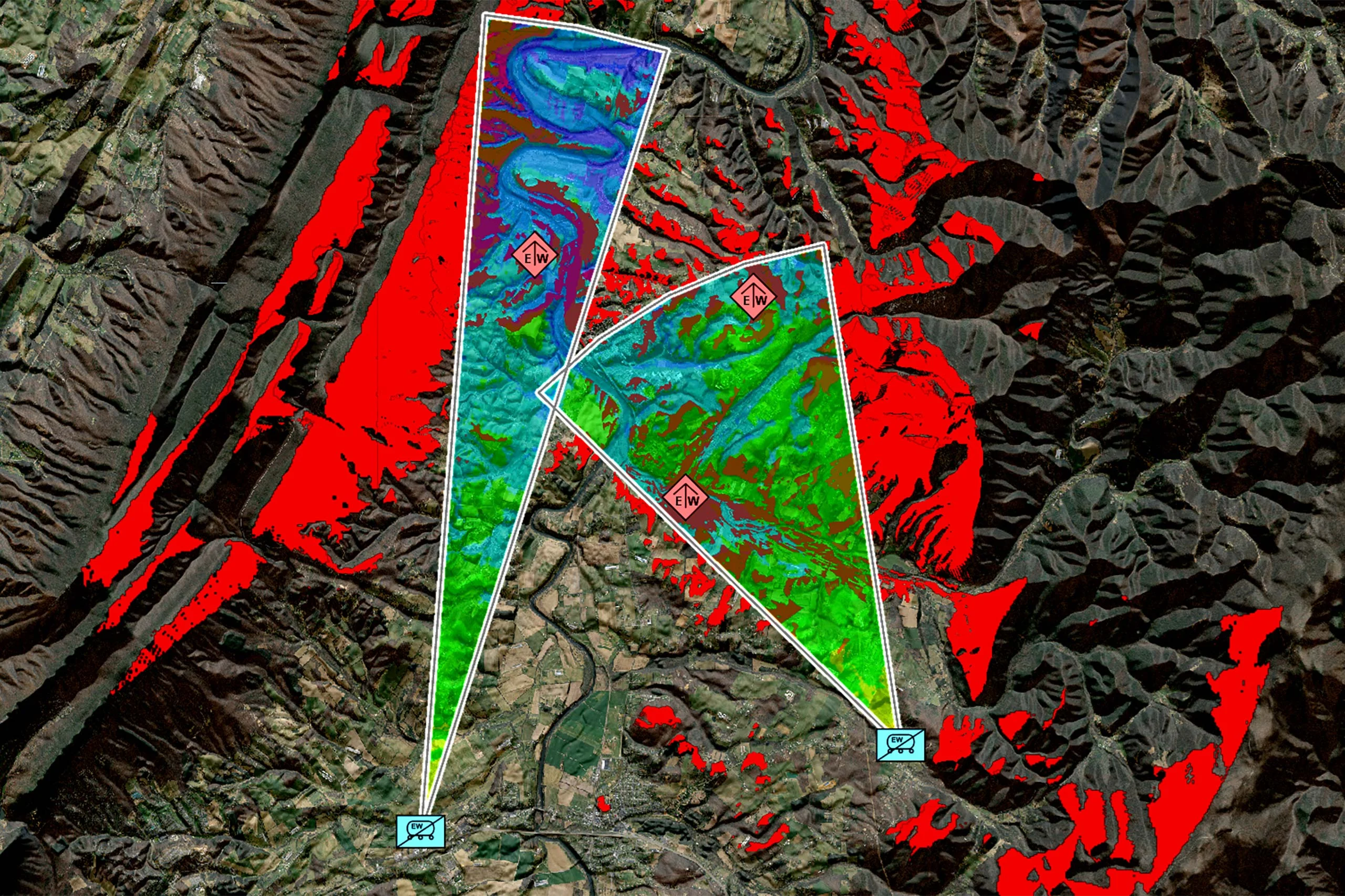
Figure 2: Radio propagation and line-of-sight results for two friendly sites, visualized together in their terrain context.
Geospatial visualization of planned electronic effects and coverage results generated by integrated RF models, supporting planning and assessment within EW systems.
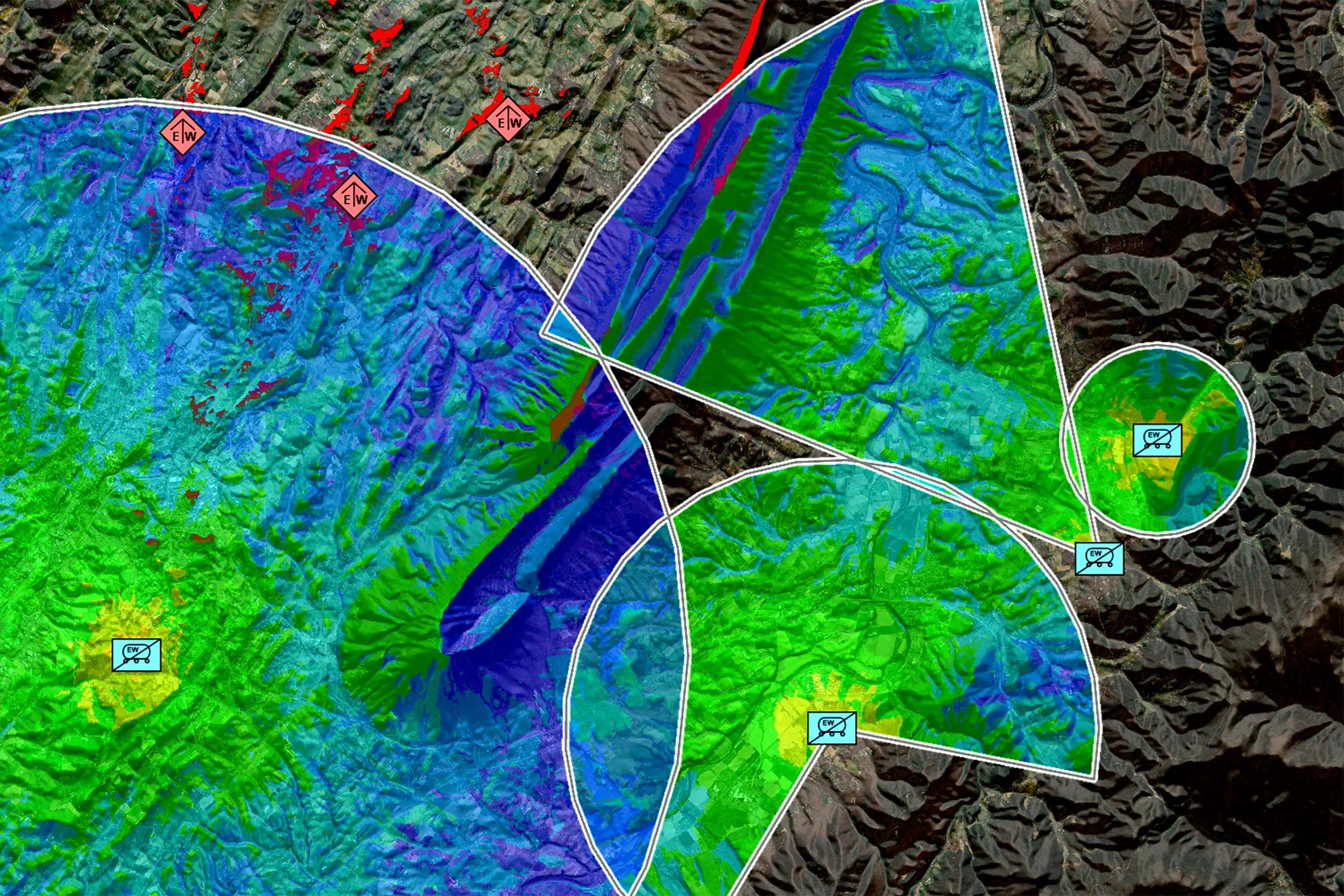
Figure 3: Radio coverage from multiple friendly sites, showing overlapping coverage areas in their geographic context.
Visualization of friendly spectrum usage, frequency overlap, congestion and operational conditions to support spectrum coordination and the identification of potential self-interference.
Geospatial visualization of reported or detected jamming, interference and anomalous electromagnetic activity, together with friendly systems and protected assets, supporting the assessment of vulnerabilities and potential unintended effects.
Presentation of confidence levels, source quality and operational relevance to help operators assess information and make informed decisions.
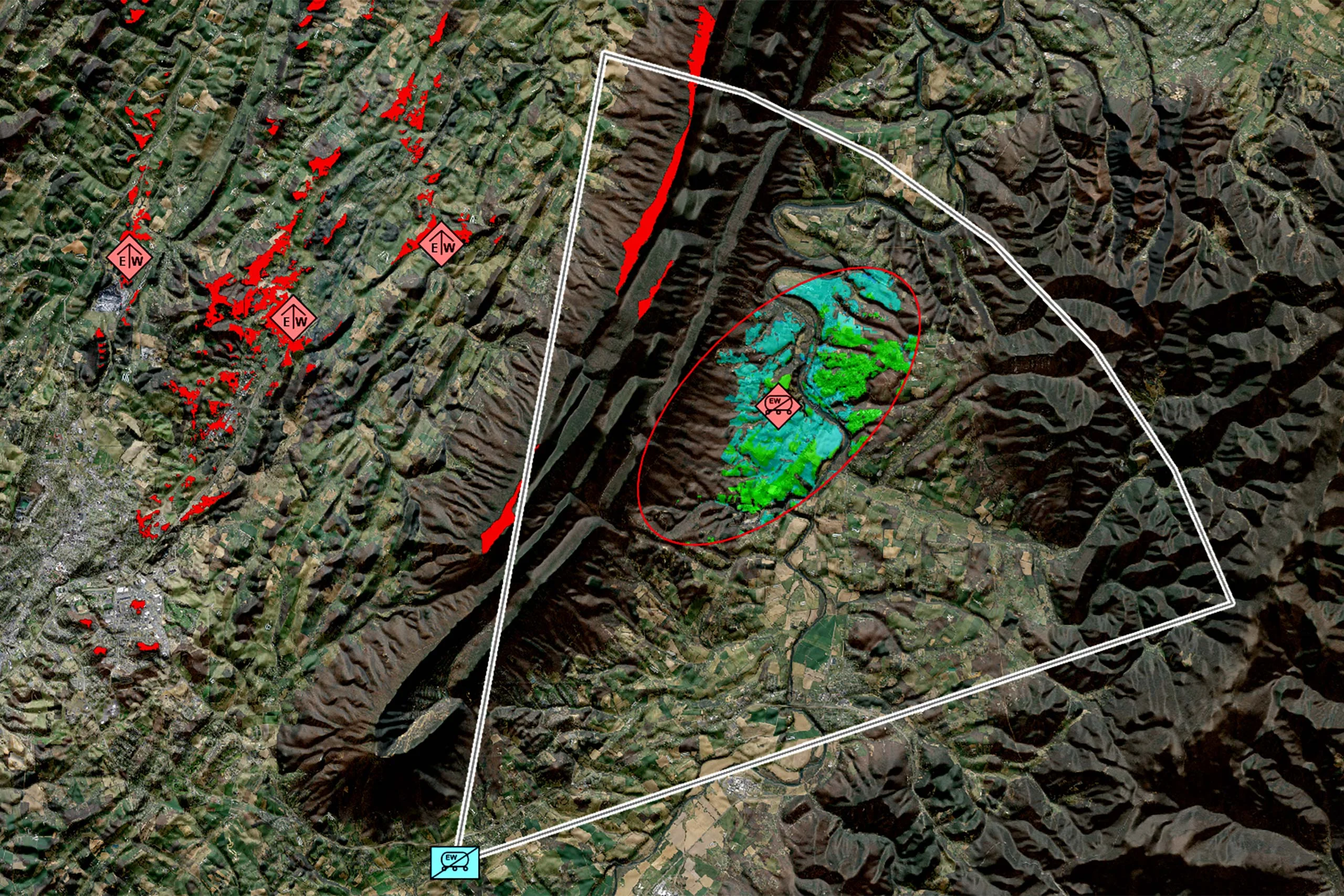
Figure 4: Potential locations of a detected enemy emitter, narrowed down by vehicle accessibility and signal reception.
Signals intelligence (SIGINT) is intelligence gained through the collection and analysis of electromagnetic emissions. While electronic warfare focuses on operational actions within the electromagnetic spectrum, SIGINT provides a more in-depth understanding of the capabilities, intentions and activities of adversaries.
Carmenta’s geospatial technology brings SIGINT data and derived results, terrain information and operational assets together within a single geospatial environment. Rather than presenting SIGINT data and derived results in isolation, Carmenta places them in geographic and operational context. Operators can view emitter activity in relation to terrain and movements, compare observations from multiple sources, and visualize patterns, relationships and changes across the electromagnetic battlespace.
Through map-based visualization and geospatial analysis, Carmenta provides the geospatial context for interpreting and presenting SIGINT data and derived results. Historical and real-time observations can be visualized and compared to support the assessment of recurring activity, changes in emitter behavior and potential anomalies.
Sharing these insights through a common operational picture supports faster coordination between electronic warfare, intelligence and command-and-control functions and helps decision-makers act on a consistent understanding of the electromagnetic battlespace.
Carmenta supports SIGINT integration by enabling:
Carmenta’s geospatial technology provides a common set of geospatial capabilities across Electronic Support, Electronic Attack and Electronic Protection, making the electromagnetic environment visible, understandable and actionable throughout the electronic warfare cycle. For SIGINT, Carmenta adds a distinct advantage by integrating and visualizing intelligence, sensor, terrain and operational data in geographic and temporal context to create a deeper understanding of the electromagnetic battlespace.
By integrating and visualizing electromagnetic, operational, and geographic data into a common operational picture, Carmenta enables more effective planning, coordination, and execution of electronic warfare operations.
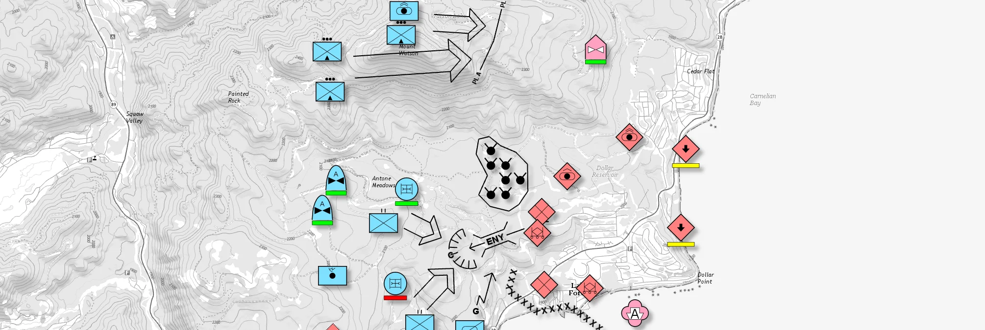
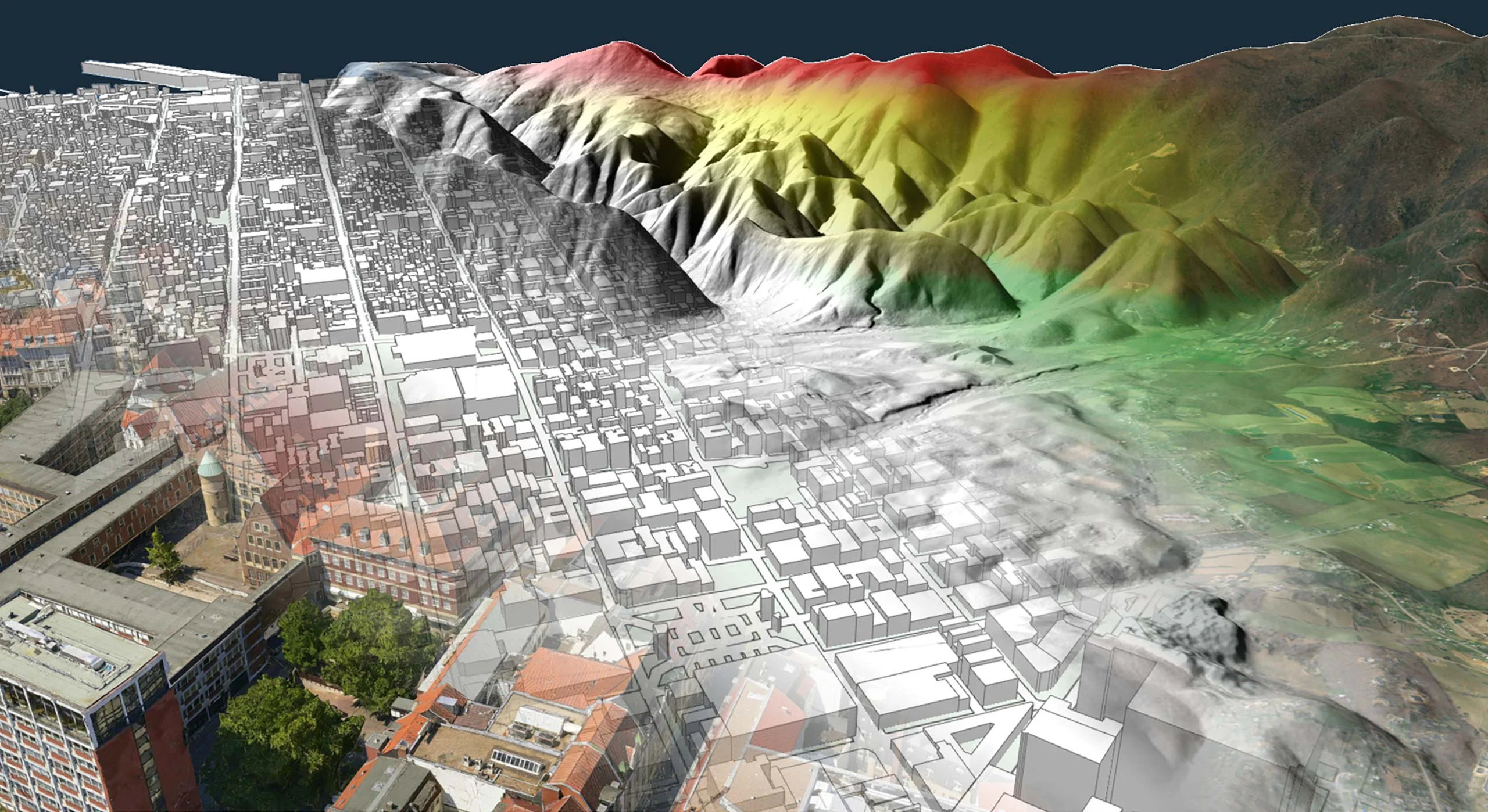
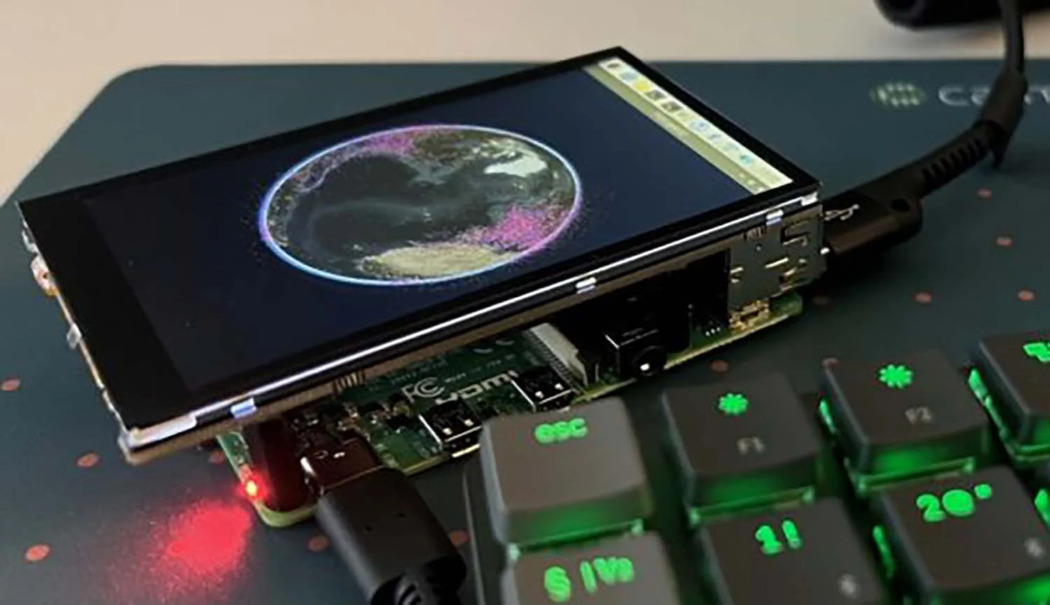
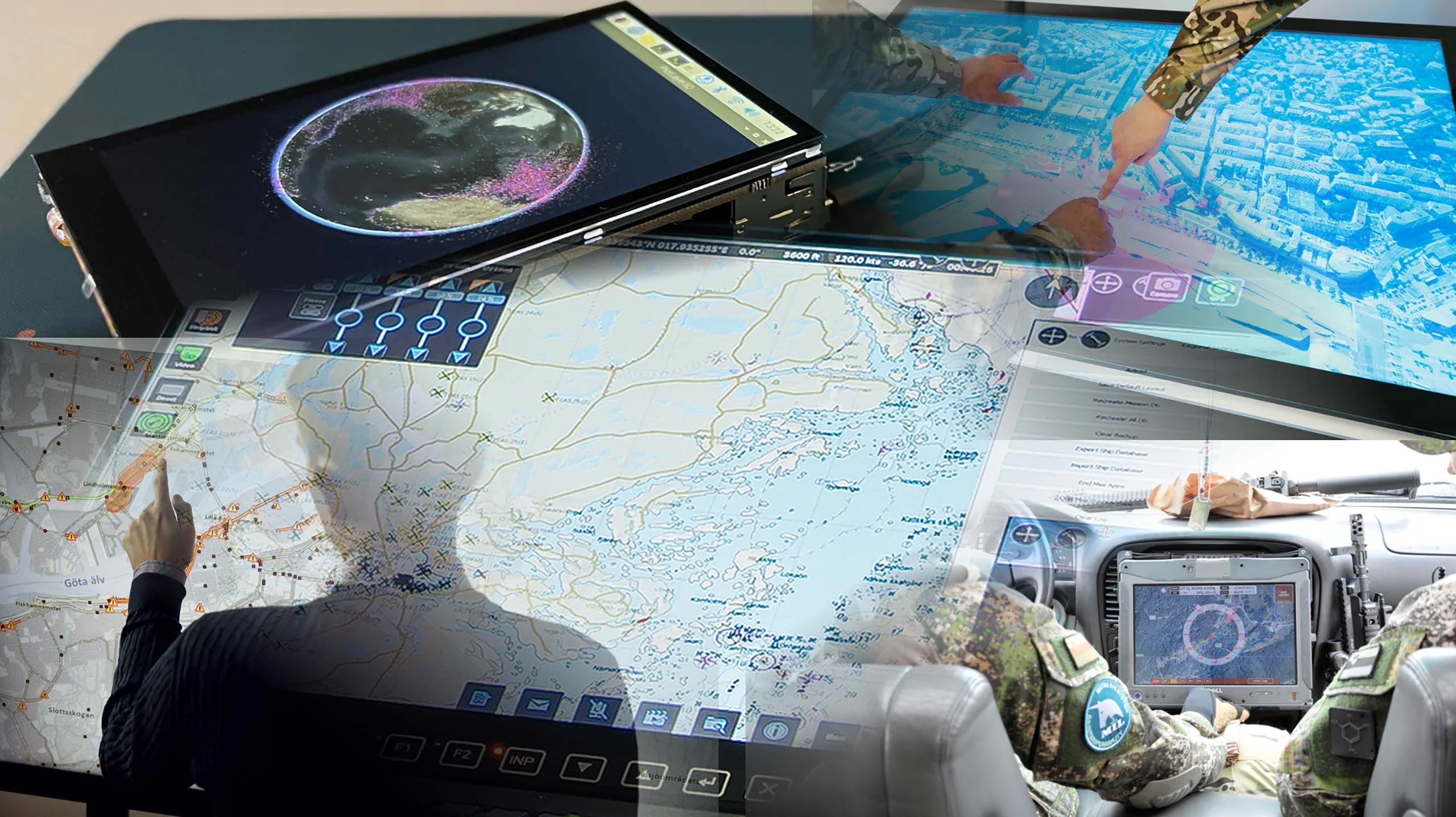
Geospatial situational awareness combines electromagnetic, operational and geographic information into a common operational picture, enabling military organizations to understand and respond to activity across the electromagnetic battlespace.
Geospatial technology helps integrate and visualize sensor data, intelligence information, terrain data and operational assets, and provides terrain and line-of-sight analysis, supporting Electronic Support, Electronic Attack and Electronic Protection activities.
A common operational picture improves shared understanding among operators, planners and commanders, enabling more effective coordination and faster decision-making.
Terrain can influence line-of-sight, signal propagation, sensor performance and the effectiveness of electronic attack and protection measures.
Geospatial technology that empowers you to see more, know more, and make better decisions – in real time.
Are you ready to see how our products can transform your work? Request a free trial today and explore the full potential of our geospatial technology.
Please specify which product/products you are interested in.
This form can be used to request a trial for: