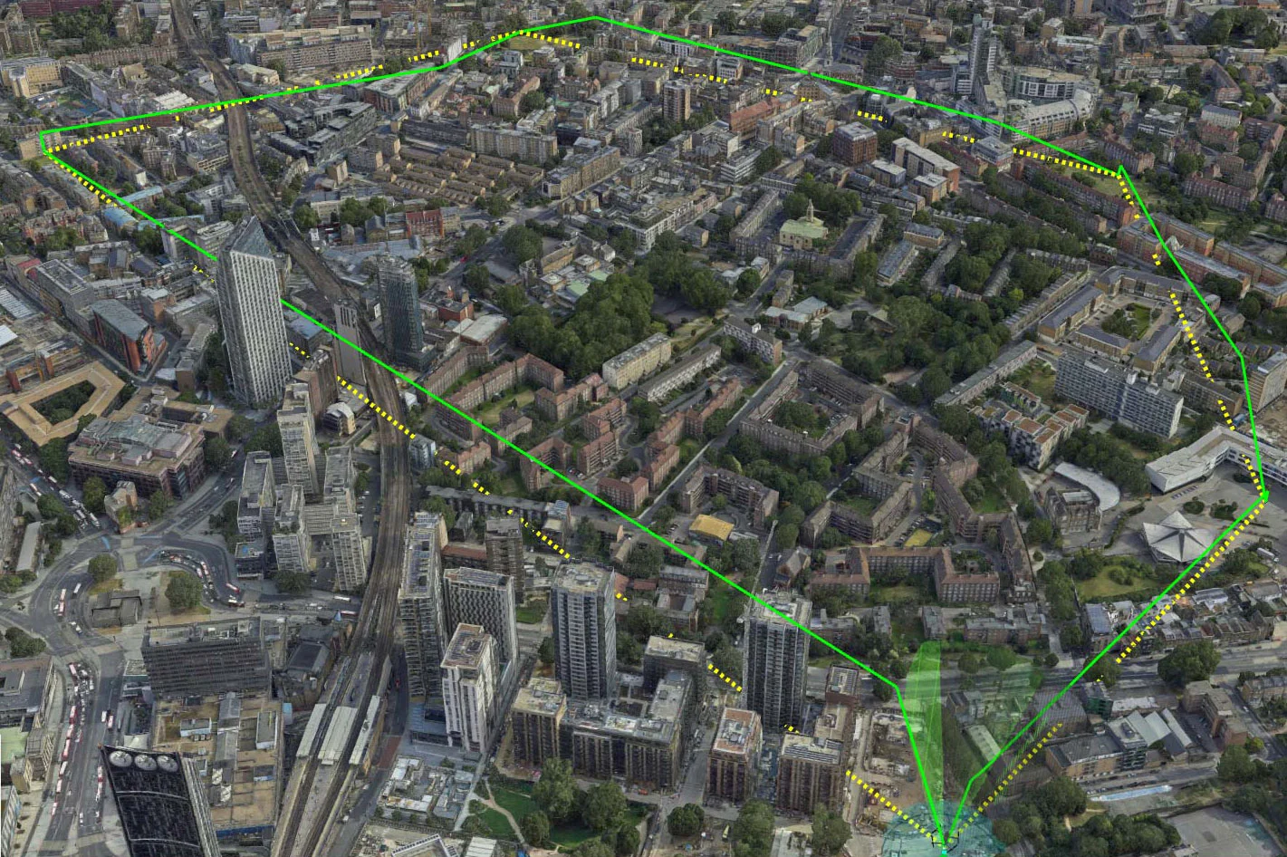
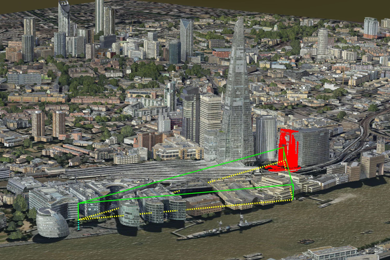
Obstruction Analysis
The Elevation Service is designed to provide altitude data for various reference levels. It offers API endpoints for retrieving Surface and Terrain data. The service processes geographic coordinates to deliver elevation information.
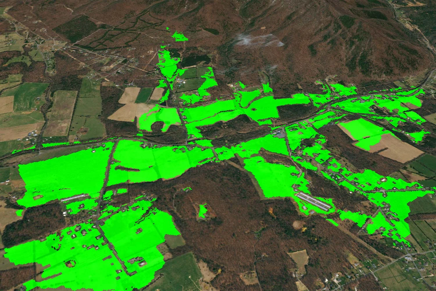
The service supports a wide range of Unmanned Aircraft operations and mission planning scenarios. The Elevation Service is pre-integrated with publicly available data sources to ensure reliable altitude information.
This service aims to enhance the precision and safety of UAS missions by providing critical elevation data for diverse operational environments and requirements. The service can be used for various scenarios, such as calculating safe operating or RTH (return to home) altitudes and monitoring drone operations to ensure or confirm they comply with local regulations.
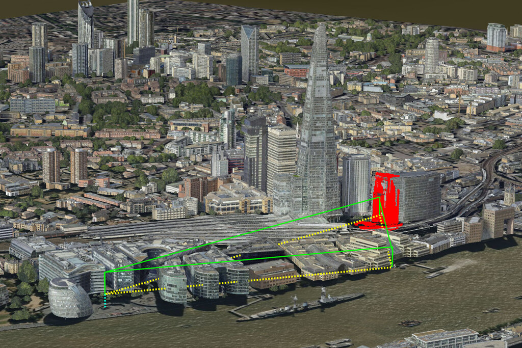
Returns the highest value inside the area. Could for example be used to calculate the highest obstacles to set safe altitude for emergency procedures.
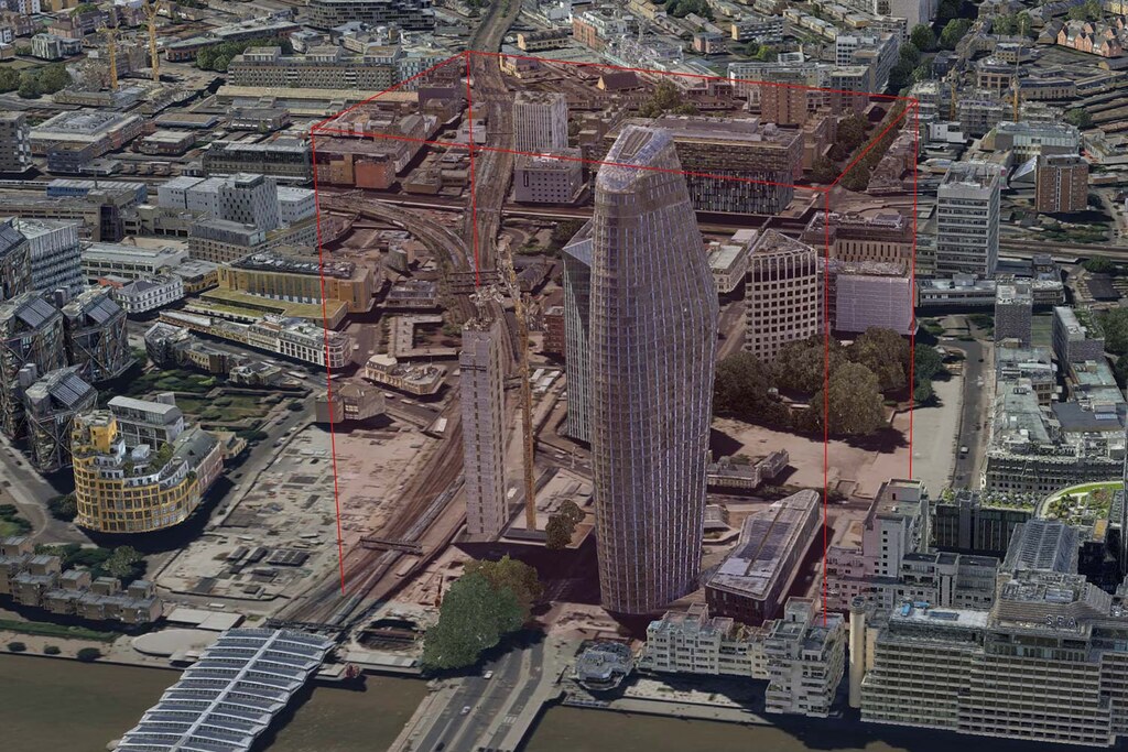
This data can be used to quickly analyse or inform operations. An example is to generate a volume by configuring the volume height to the tallest obstacle in the area of interest.
The beta version of Carmenta UAS Services has UK data pre-integrated. If you are interested in using Carmenta UAS Services with other data, please reach out to us on uas.support@carmenta.com.
The 3D map of central London is provided by Get Mapping Inc.