UAS Routing
The Obstruction Service offers a range of functionalities to analyze the geospatial environment and support Uncrewed Aircraft (UA) operations.
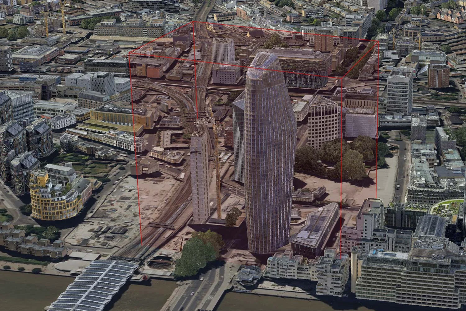
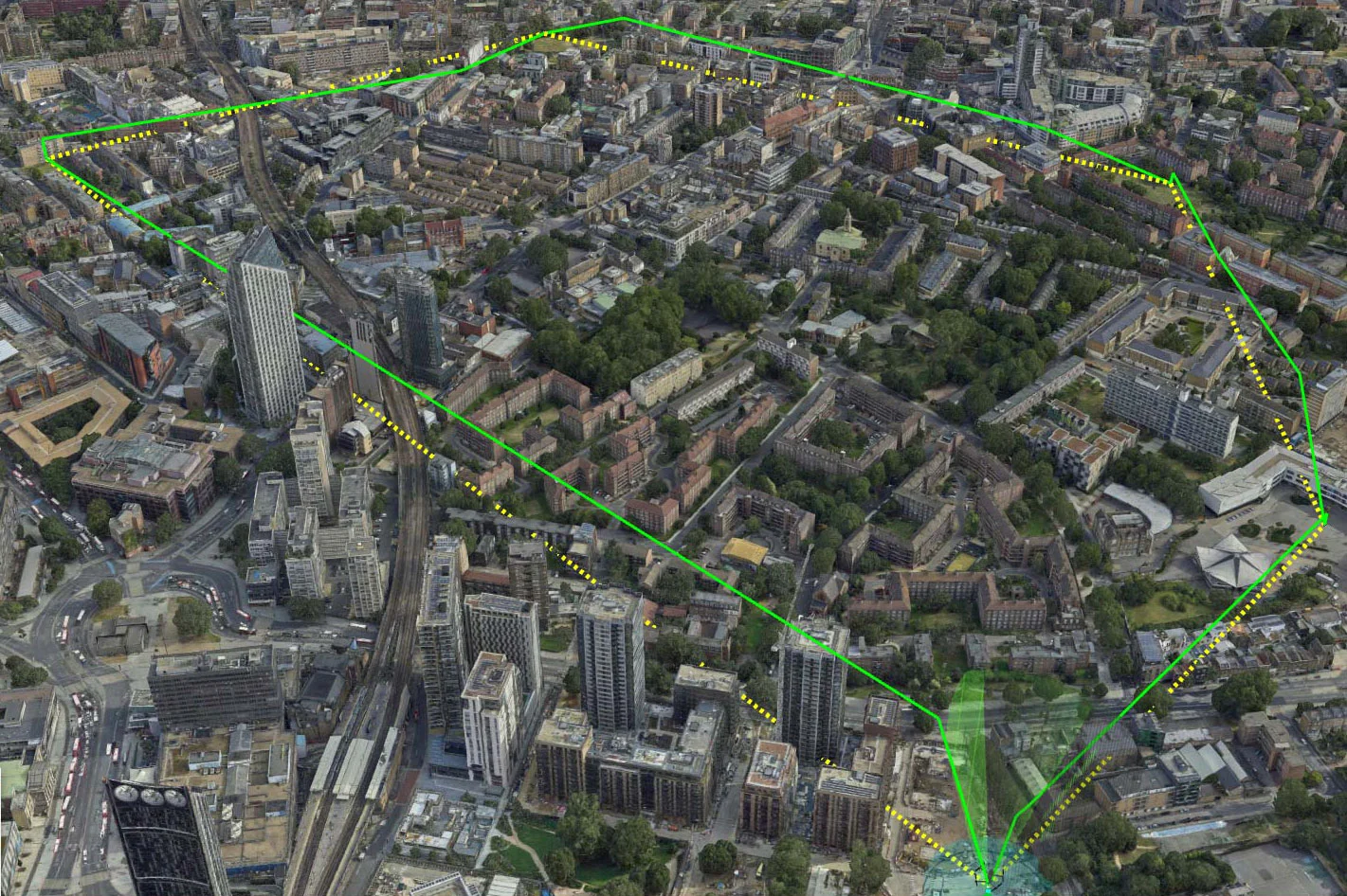
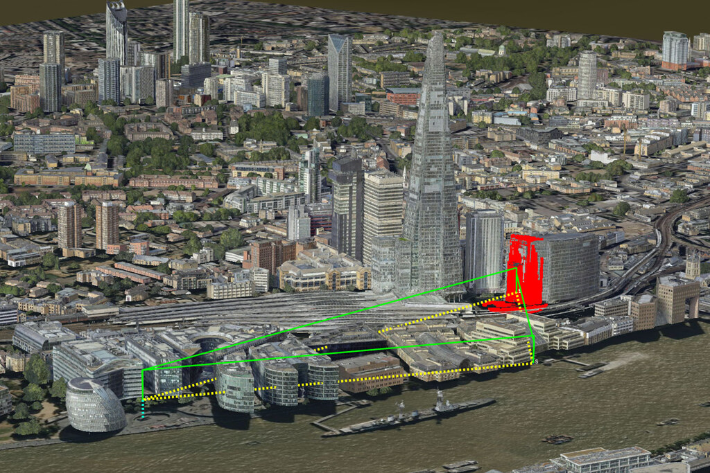
It can calculate the line-of-sight between points, which can be used to determine if a pilot or observer has visibility of their UA or if a point of interest is visible from a specific location.
Additionally, the service can analyze collision risks and obstacles, helping operators, autonomous systems, and regulators to monitor safety distances and hazards. This helps reduce the risk of air-to-ground collisions and ensure regulations are adhered to, ultimately enhancing UA operations and public safety.
The beta version of Carmenta UAS Services has UK data pre-integrated. If you are interested in using Carmenta UAS Services with other data, please reach out to us on uas.support@carmenta.com.
The 3D map of central London is provided by Get Mapping Inc.