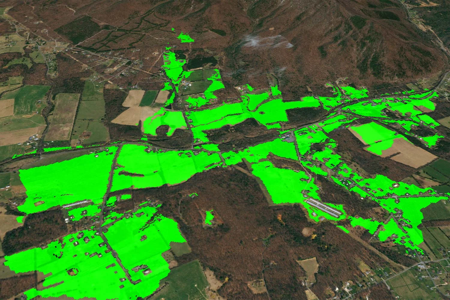
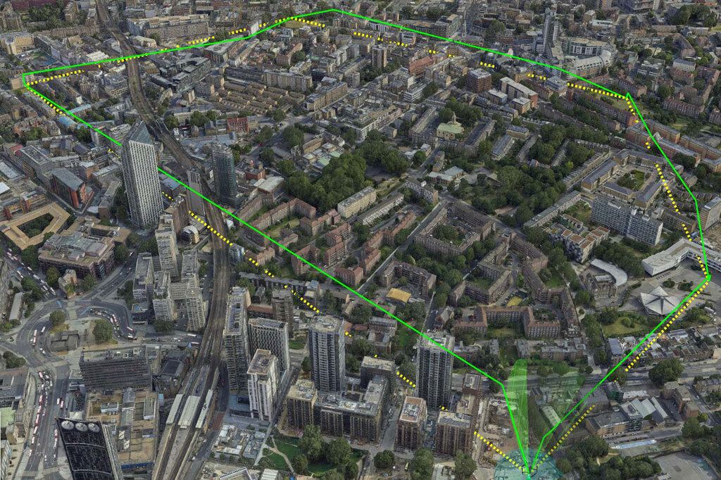
Obstruction Analysis
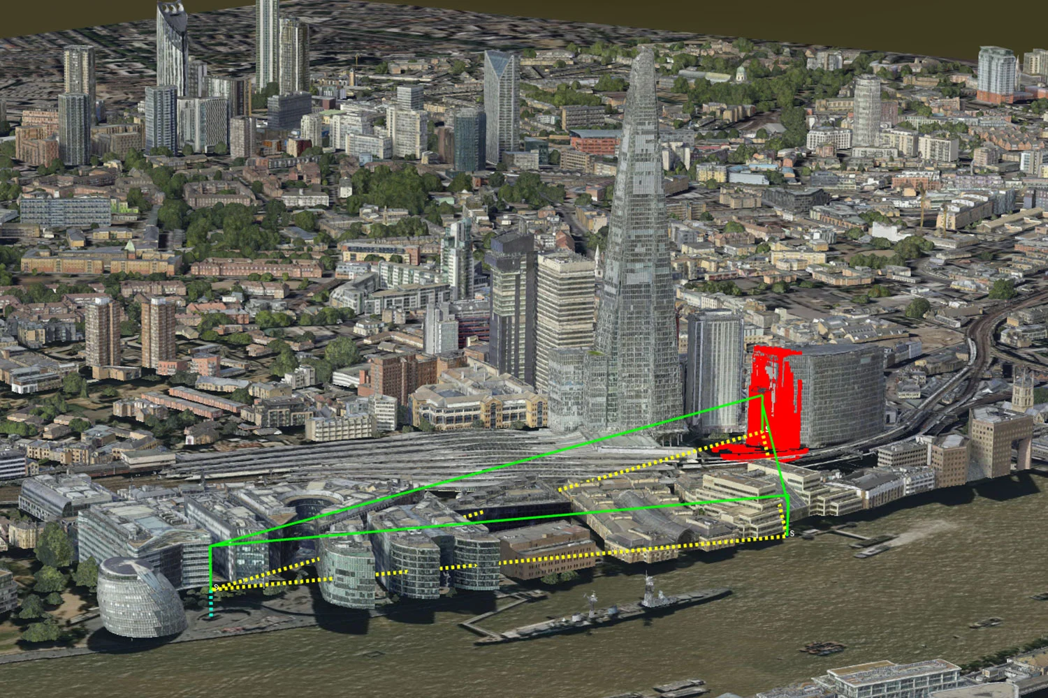
The UAS Routing Service is an advanced system that manages and optimizes flight paths for uncrewed aircrafts (UA). It combines strategic planning with real-time responsiveness to ensure safe and efficient UA operations. Optimized routes are generated in real-time, based on mission parameters and are deconflicted with terrain, buildings, airspace, hazards and other routes.
It offers API endpoints for calculating flight paths that avoid obstacles and no-fly zones. It also performs strategic and tactical deconfliction, proactively planning to avoid conflicts with other UA missions and making real-time adjustments.
The UAS Routing Service aims to optimize mission performance in complex and changing environments by integrating these capabilities. Routes can be customized with pilot/observer locations for VLOS or BVLOS operations, and optional routing and platform parameters can offer ultimate flexibility for various scenarios, regulations, and limitations.
Potential conflicts can be avoided, for example between:
The calculations can be based on airspace volumes including:
The beta version of Carmenta UAS Services has UK data pre-integrated. If you are interested in using Carmenta UAS Services with other data, please reach out to us on uas.support@carmenta.com.
The 3D map of central London is provided by Get Mapping Inc.