We're Hiring! Backend Developer (.NET)
Join our team! Carmenta is looking for a Backend Developer (.NET) to help build a modern system for information processing, data integration, and tactical analysis.
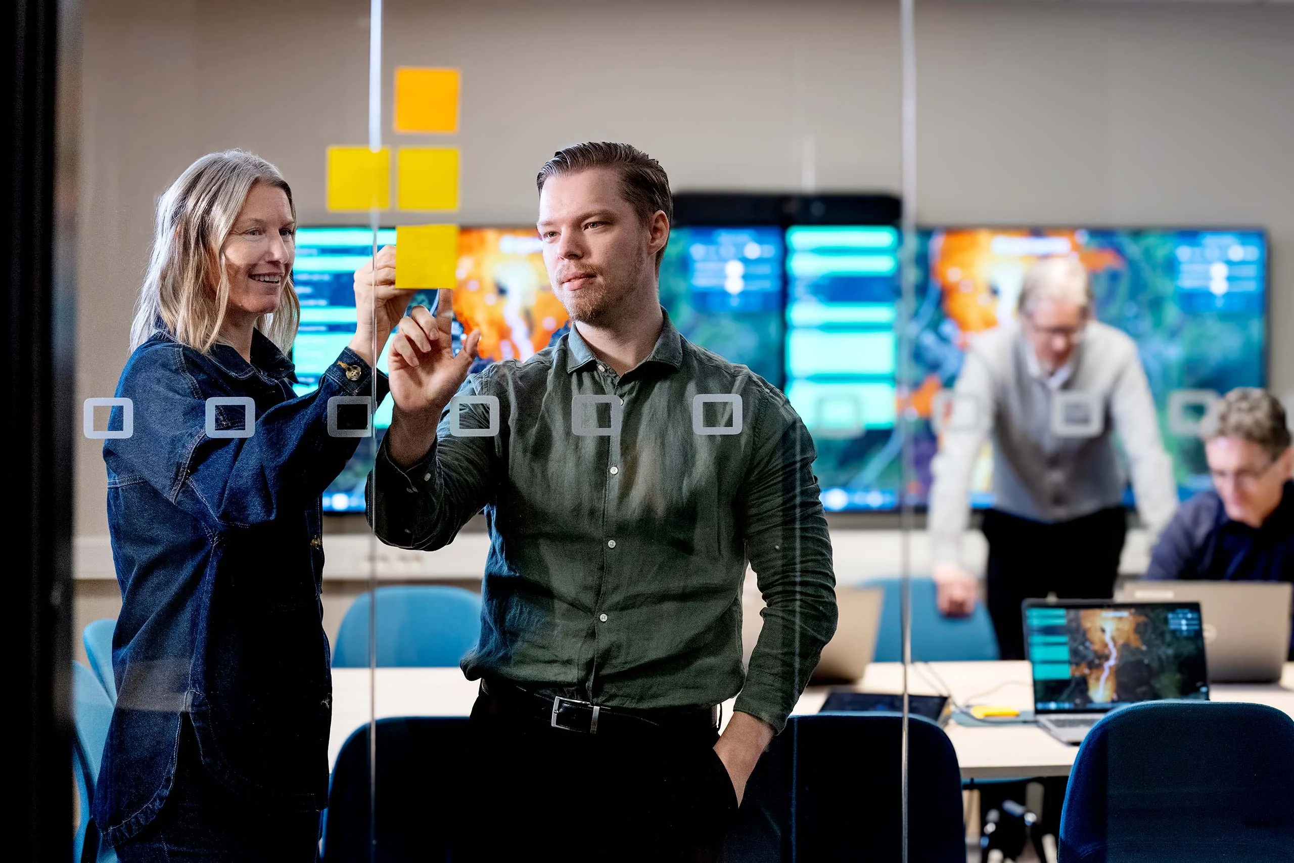
Read moreAt DSEI 2025 last week, Carmenta showcased a powerful new capability that combines AI-assisted computer vision with our geospatial technology to deliver real-time situational awareness for terrain routing. The demonstration attracted significant interest, highlighting the growing need for intelligent, adaptive solutions in defense operations.
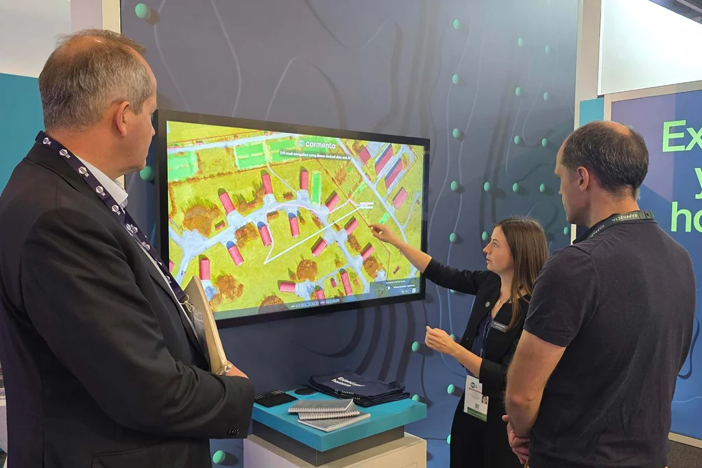
Carmenta and SE3 Labs demo at DSEI 2025.
Today, we are proud to announce the signing of a Memorandum of Understanding (MoU) with SE3 Labs to formalize and deepen our collaboration.
Whether for crewed or uncrewed ground vehicles, one of the key challenges in terrain routing is accessing and utilizing up-to-date environmental data. We address this by using SE3 Labs’ AI-assisted computer vision to turn live or recent drone footage into high-resolution, semantic 3D maps. Carmenta’s geospatial tools can then analyze these maps, unlocking new features and improved terrain routing.
SE3 Labs’ AI model uses 3D reconstruction, object recognition, and scene-based analysis. The result is robust, near-live navigability maps and terrain analyses that dynamically adapt to environmental changes.
“We see great potential in this collaboration,” says Torbjörn Lönnqvist, CEO at Carmenta. “By enabling rapid terrain overview and accessibility analysis for ground vehicles, we’re opening up new possibilities for situational awareness and operational strategy.”
This MoU marks the beginning of a strategic partnership aimed at pushing the boundaries of real-time geospatial intelligence.
Join our team! Carmenta is looking for a Backend Developer (.NET) to help build a modern system for information processing, data integration, and tactical analysis.
Read more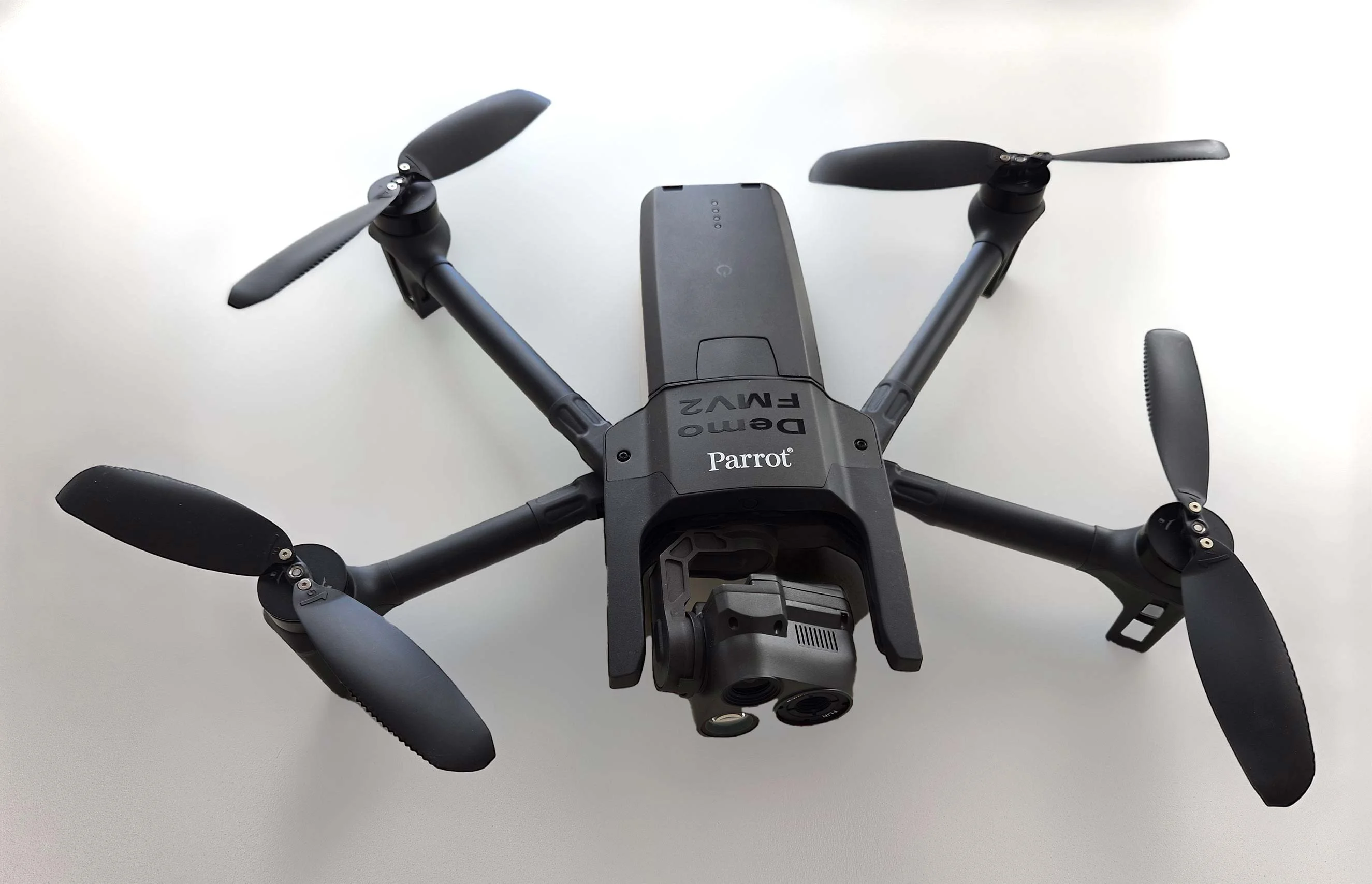
As part of Project Demo UCAV, Carmenta is proud to have participated in a drone exercise during Aurora 26, where its technology was used for UAS routing and mission planning.
Read more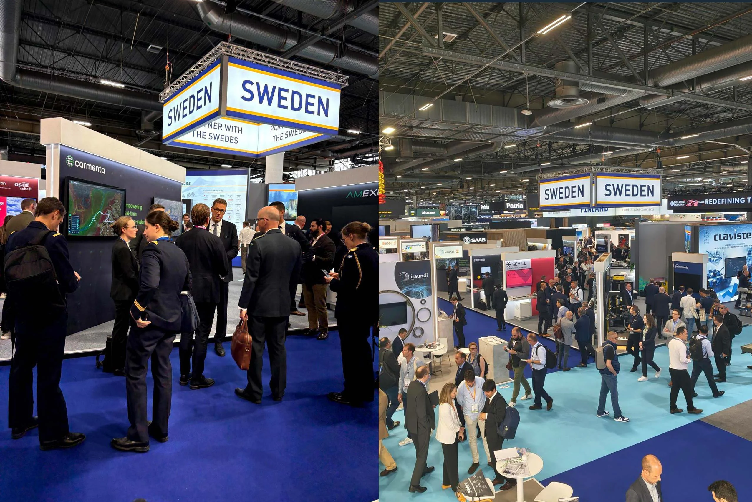
Beyond the scale of the exhibition, discussions centred on stronger European cooperation, increasing integration across domains, and a growing need to turn complex data into usable operational insight.
Read more