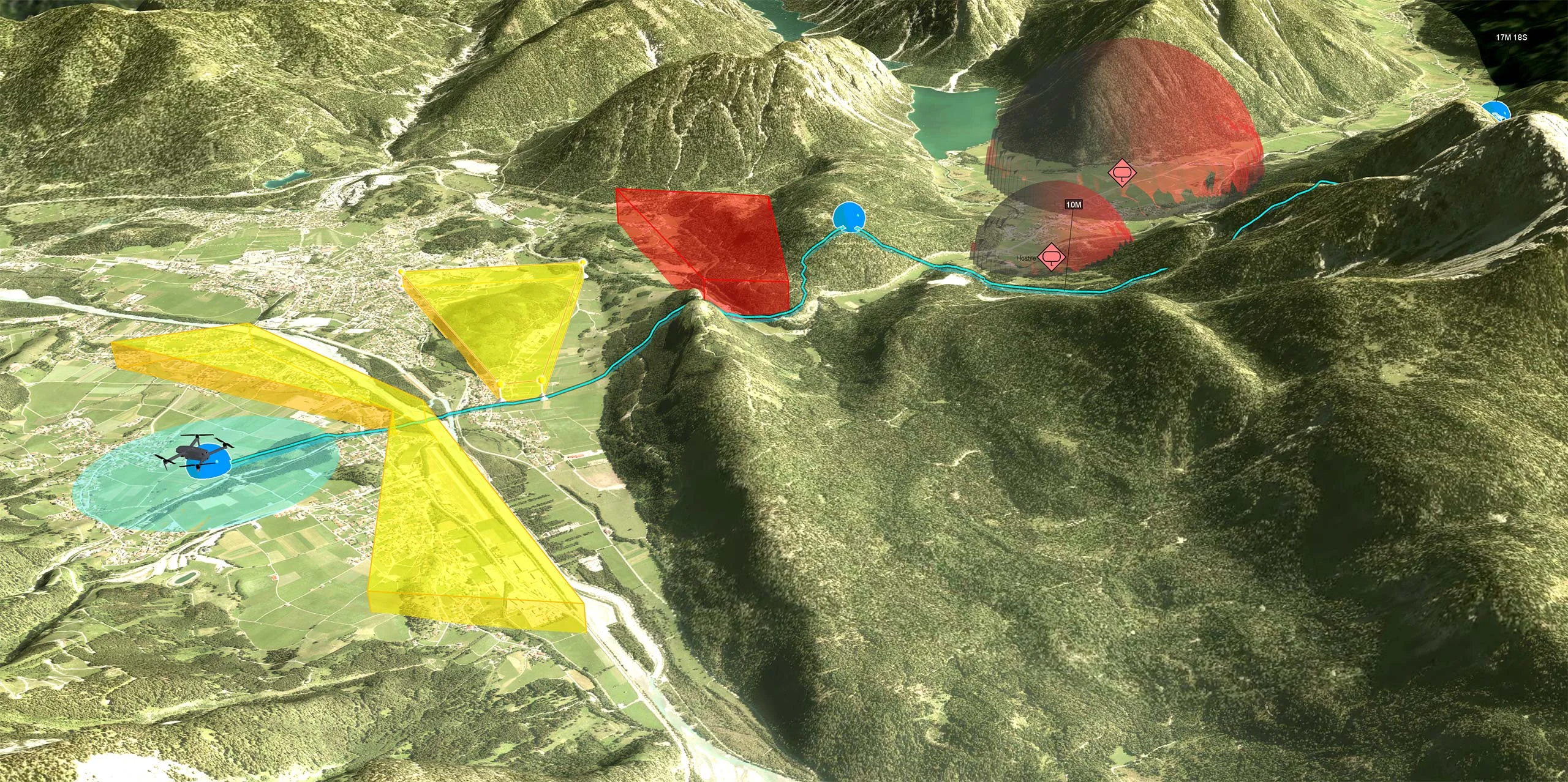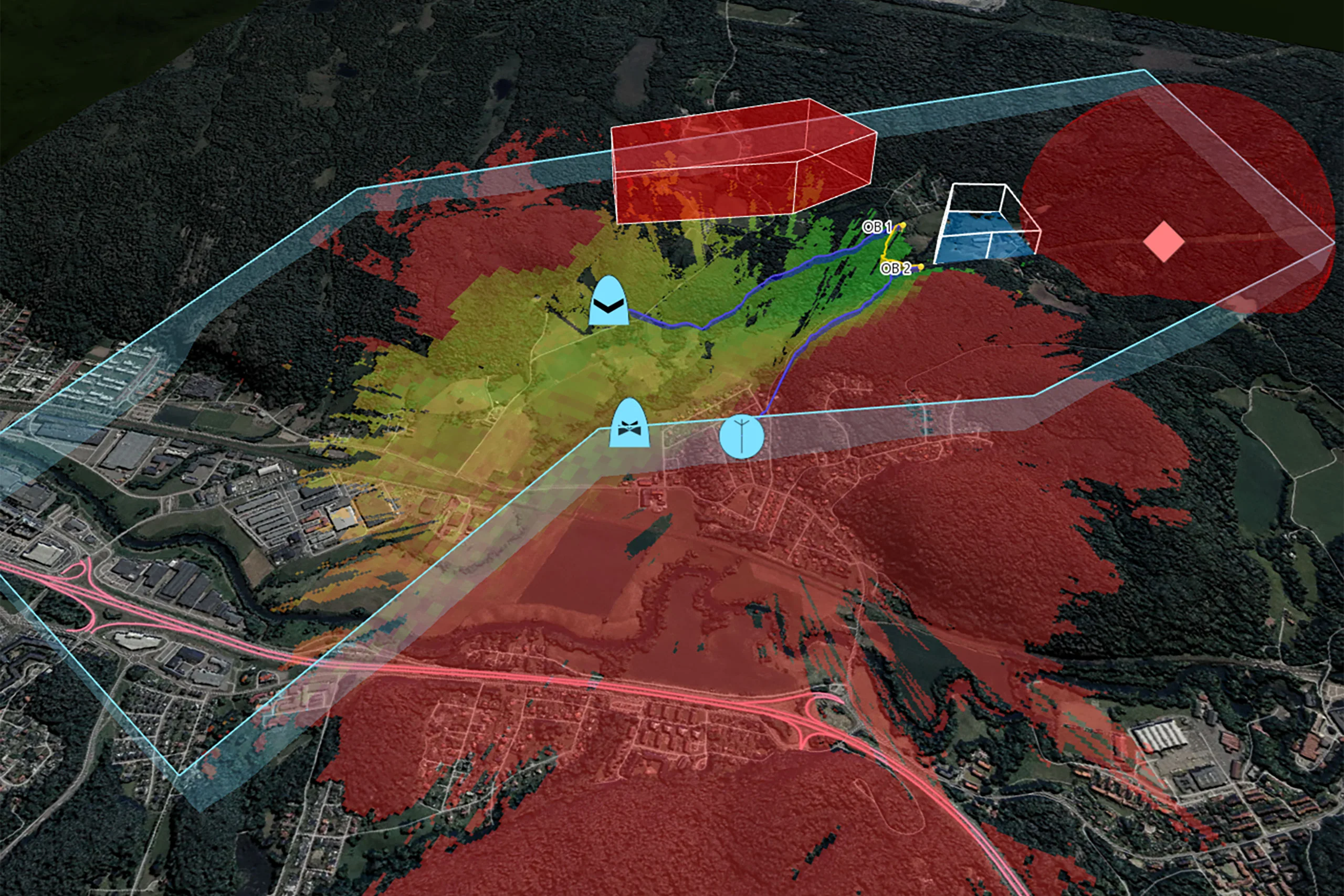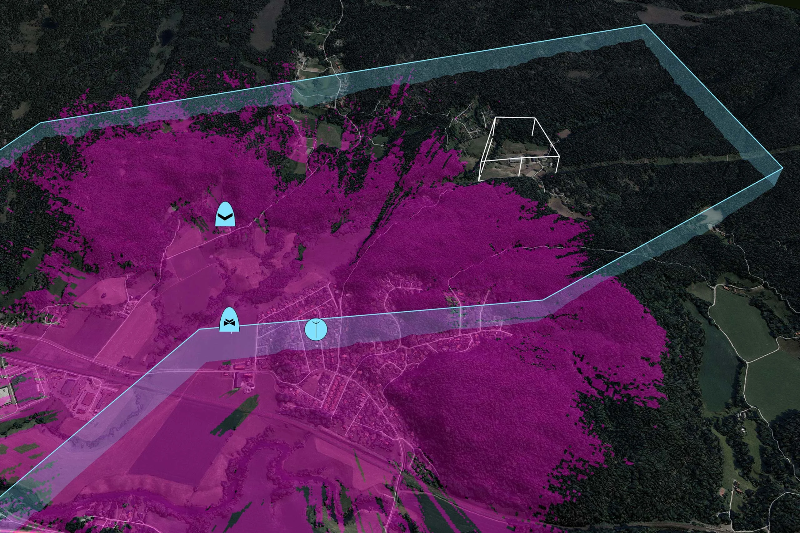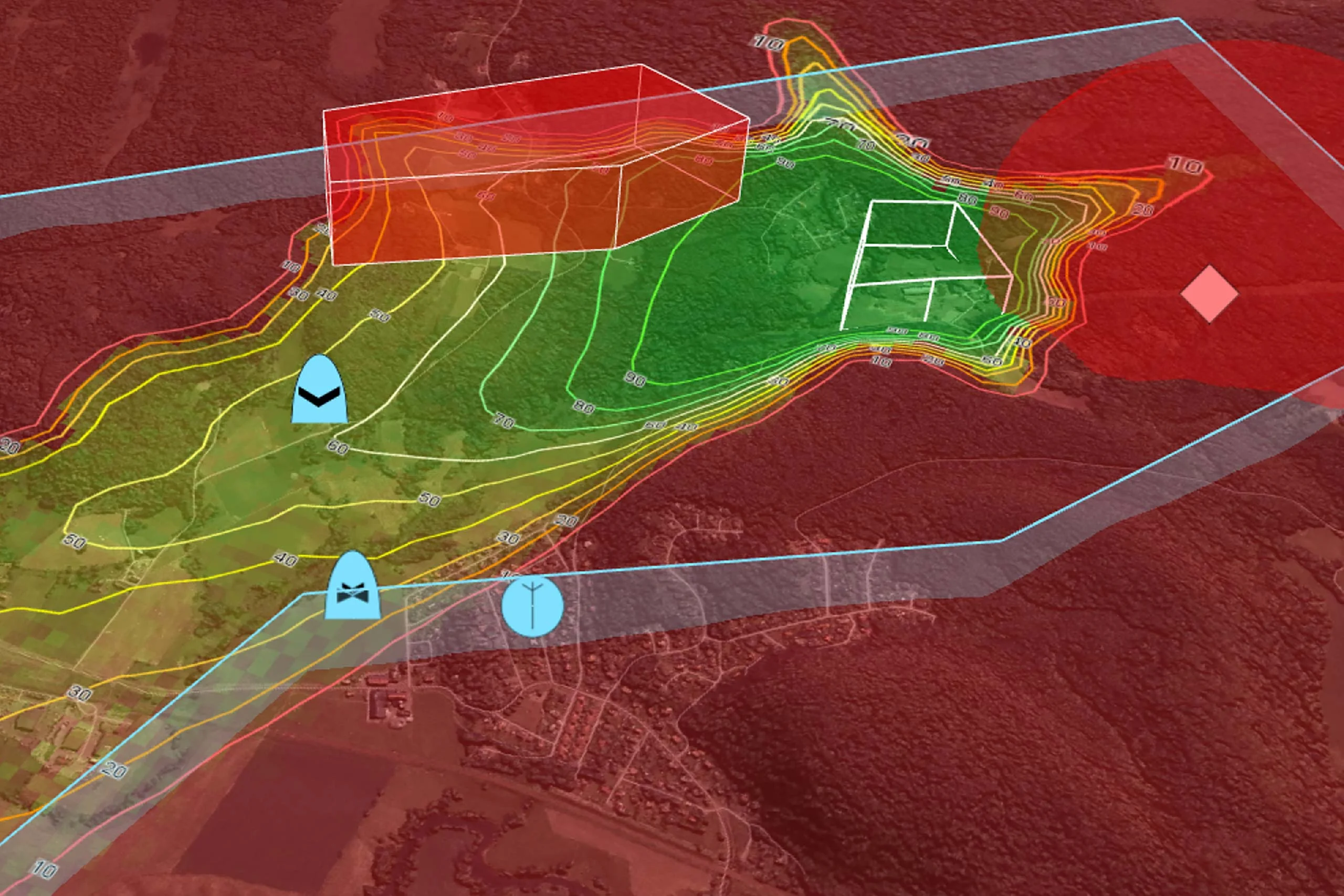
Webinar: Safe landing zones and nap-of-the-earth flight for UAS
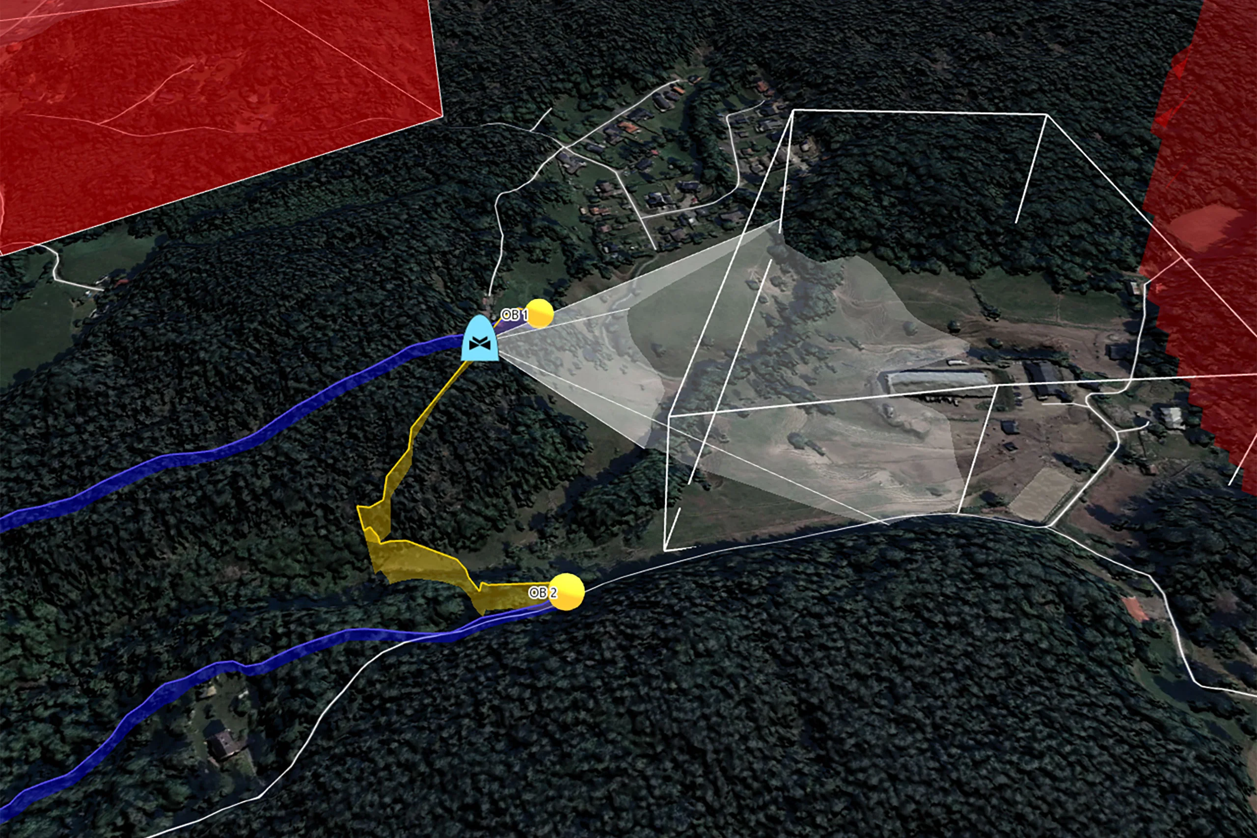
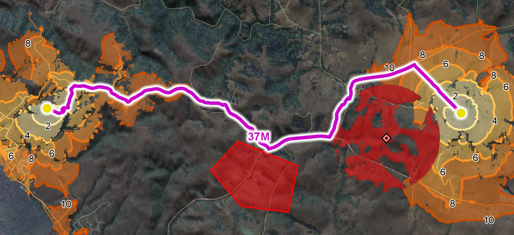
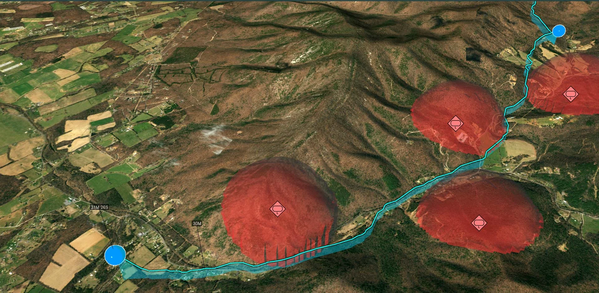
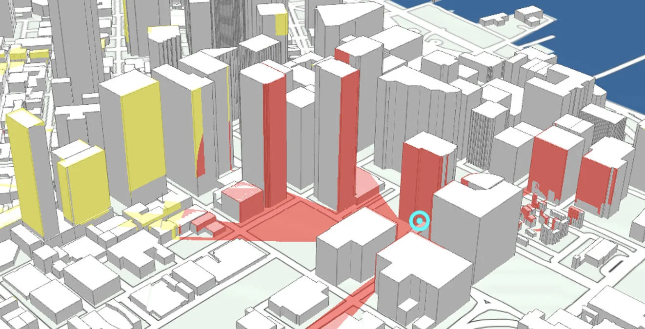
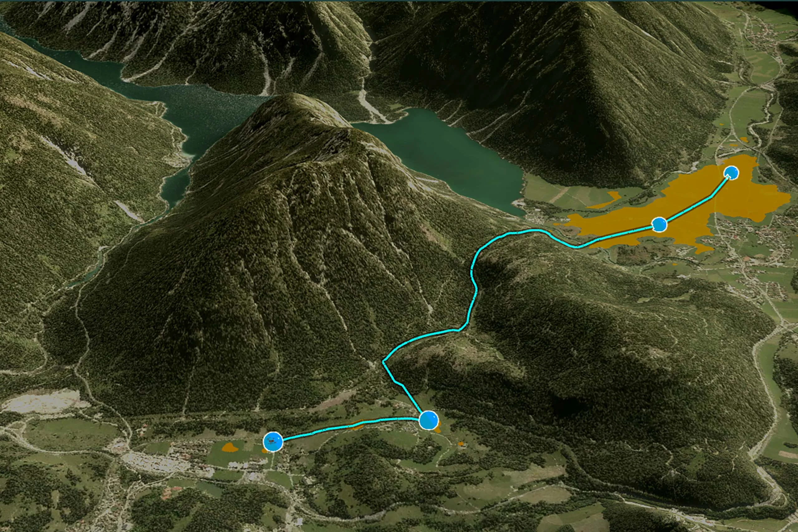
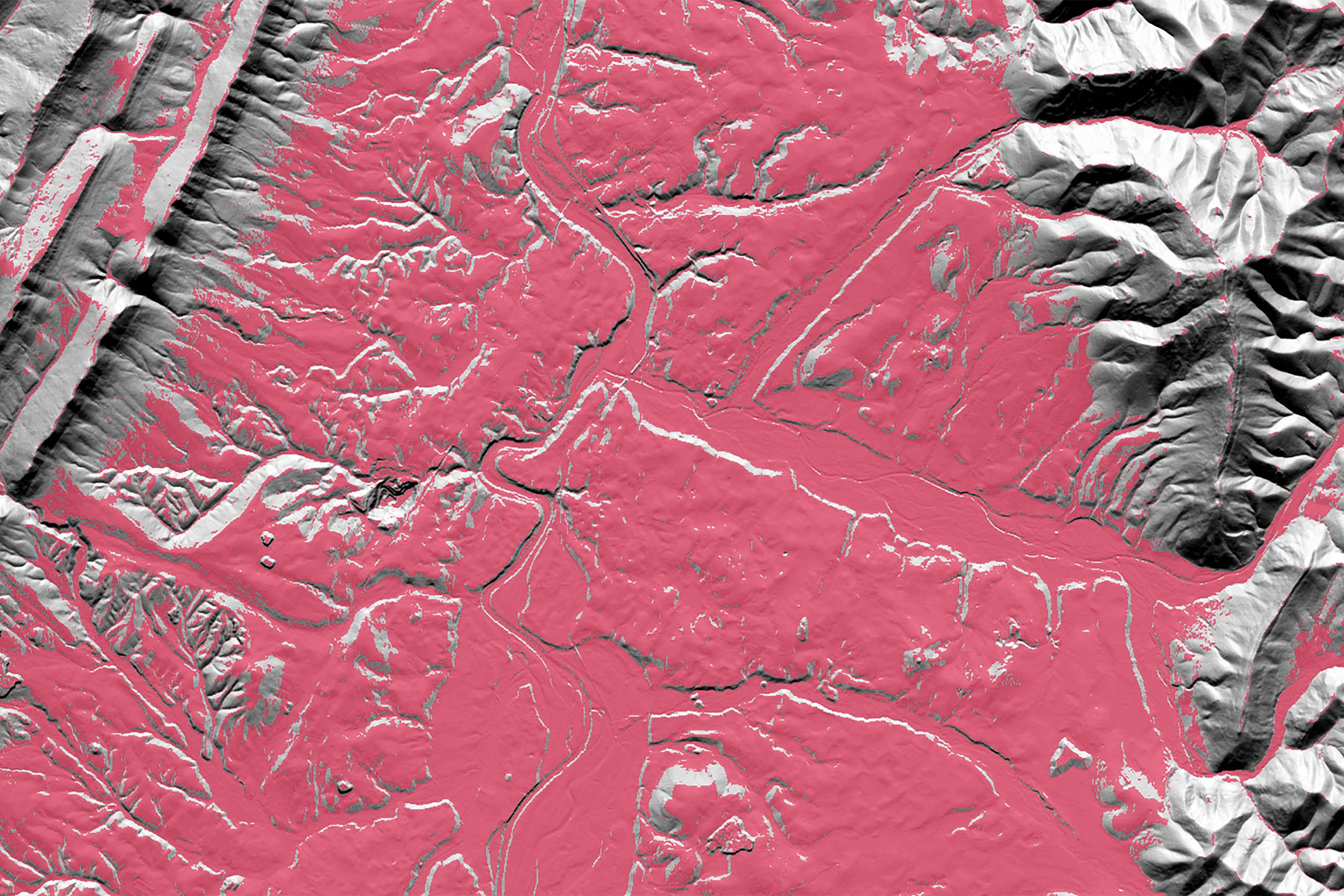
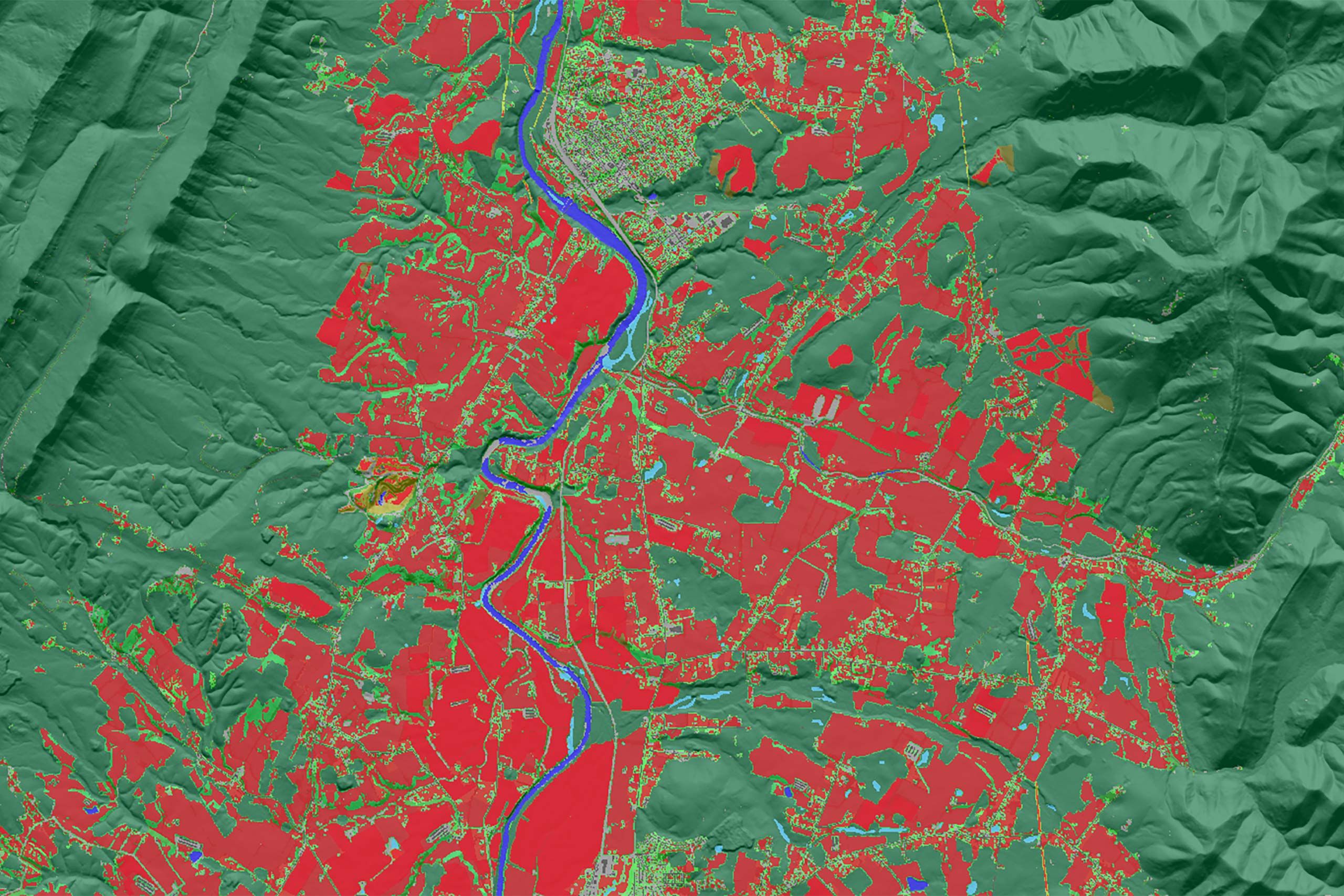
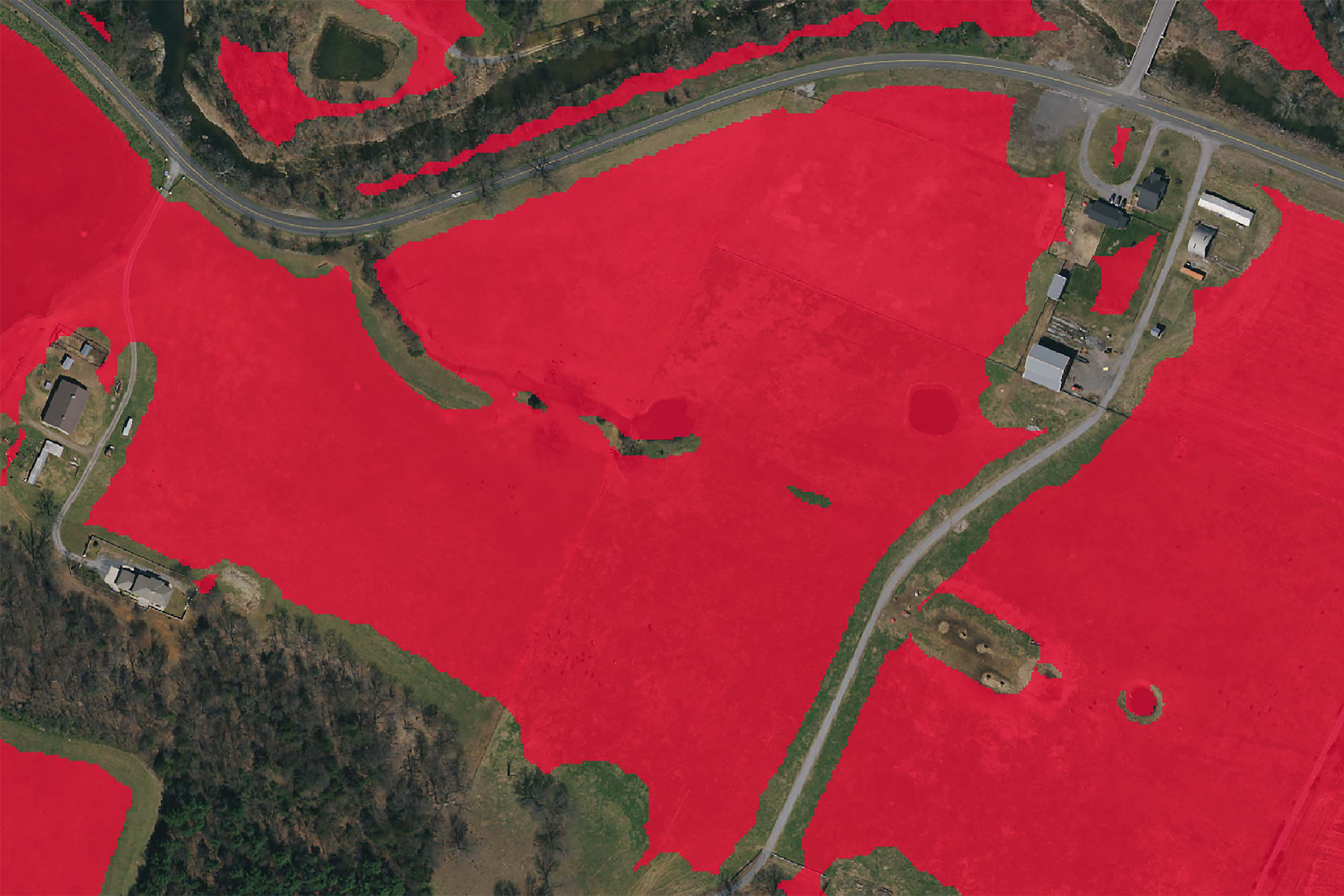
Determining safe landing zones is an essential part of many types of UAS missions. It is often important to identify safe landing zones along the route in case of an emergency during a flight.