Webinar

knowledge

Webinar: 3D visualization and analysis of Airspace Coverage


Published on: 2021-04-05

Posted in: Carmenta Engine, Unmanned Systems, Webinars

3D visualization and analysis of Airspace Coverage

This webinar “3D visualization and analysis of Airspace Coverage using the OSL Sitting Tool” was originally presented at the Geoawesomeness Digital Meetup #10 on March 24, 2021, “Location Intelligence and the Counter-Drone use case. Innovation and cutting-edge technology in the Counter Unmanned Aerial Systems (C-UAS) market”. The session is led by Jonas Envall, Senior Project Director at Carmenta.

Protecting critical airspace against drone threats requires more than advanced sensors. It demands optimal sensor placement and a clear understanding of coverage gaps. In this webinar, Jonas demonstrates how Carmenta’s advanced C-UAS and Air Defence capabilities can be combined in a powerful siting application that helps operators identify blind spots, maximize airspace coverage, and make more informed deployment decisions.

Using Carmenta’s airspace coverage analysis, operators can perform advanced 3D coverage analysis based on real-world terrain, sensor locations, and sensor characteristics. The solution provides immediate visual feedback on how changes in sensor positioning affect detection performance, making it easier to evaluate alternatives, eliminate coverage gaps, and optimize surveillance capabilities in complex environments.

By accurately analysing coverage before deployment, organizations can reduce costs by avoiding unnecessary sensors, save valuable time when establishing new sites or integrating additional sensors, and increase operational safety through improved detection coverage and reduced blind spots. Real-time analysis allows operators to quickly assess different configurations and identify the most effective setup for their mission requirements.

Watch the webinar to see how intuitive 3D visualization and real-time analysis can help organizations strengthen airspace protection while improving efficiency, reducing costs, and enhancing safety.

You can also read more in the use case: Protecing airspace

Session Speaker

Jonas Envall
Business Development Director UAS

Related knowledge

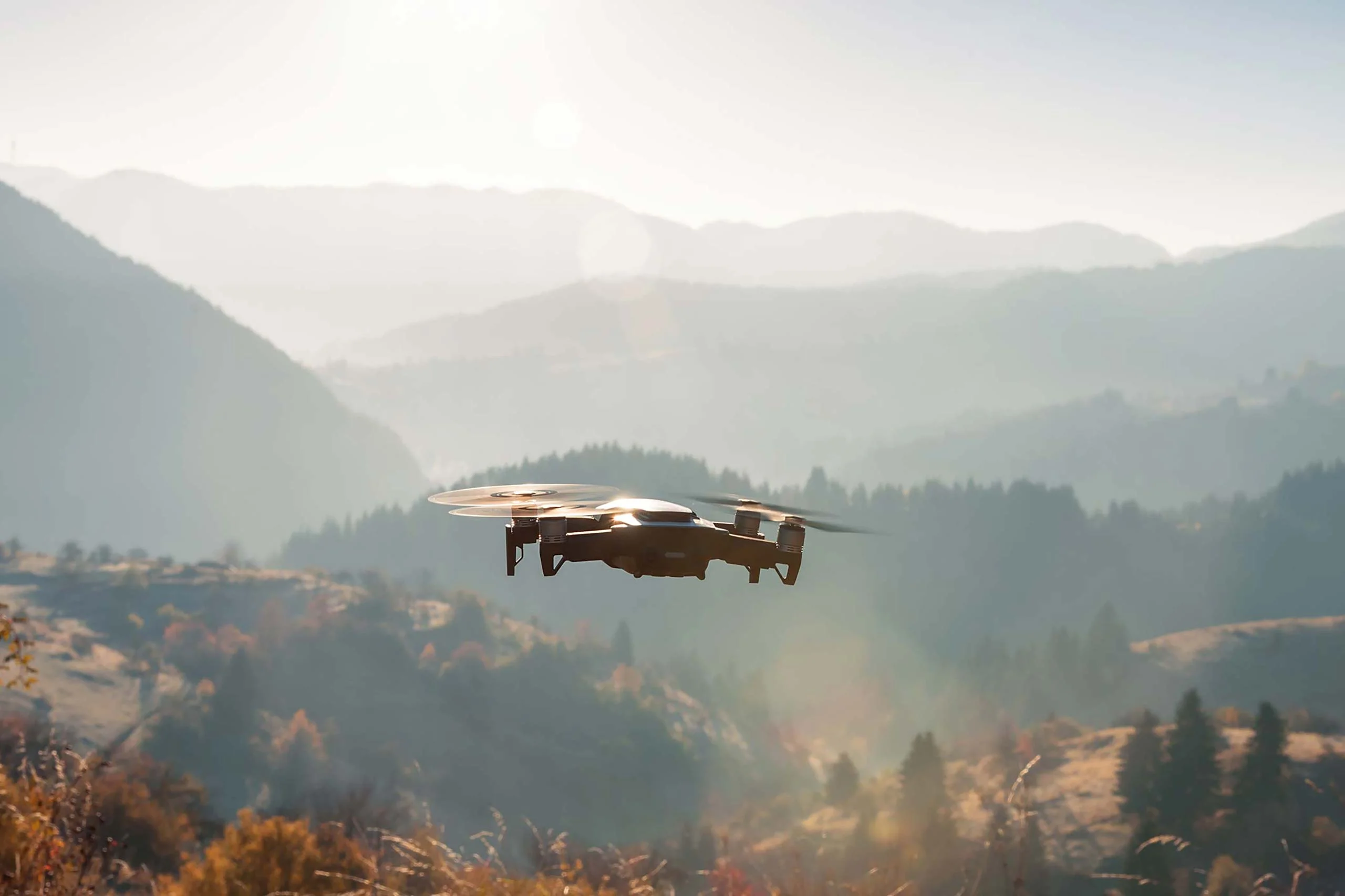
Drone flying above mountains.

Whitepaper: Geospatial Intelligence for UAS

The evolving threat landscape in military operations underscores the importance of precise, adaptive, and intelligence-driven mission planning. Explore how geospatial analysis empowers UAVs to adapt to these challenges by enhancing situational awareness and supporting human and autonomous decision-making processes.

Read more
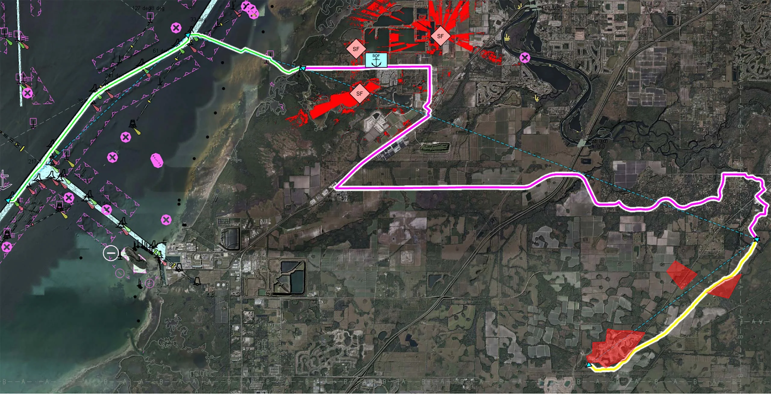
The image shows a map of a coastal area. It shows a cross-domain UxS scenario with a USV route shown in green, a UGV route shown in pink and a UAV route shown in yellow.

Uncrewed Military Mobility Across All Domains

Multi-domain operations demand a high degree of interoperability, real-time responsiveness, and adaptive decision-making across diverse and often contested environments. Discover how Carmenta technology enables seamless coordination of uncrewed systems (UxS) across land, air, and sea in modern multi-domain operations.

Read more