Carmenta in drone exercise during Aurora 26
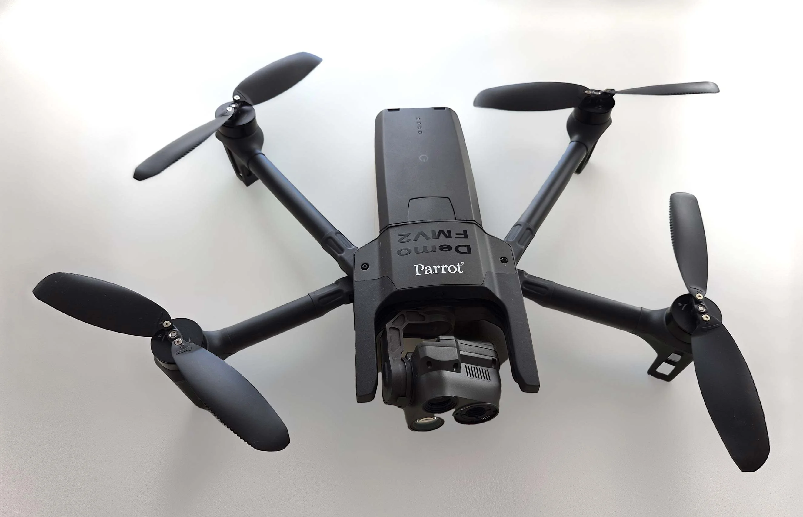
As part of Project Demo UCAV, Carmenta is proud to have participated in a drone exercise during Aurora 26, where its technology was used for UAS routing and mission planning.
Read moreThere is no reason why the map display in a mission-critical system should be any less responsive or visually appealing than the map on a smartphone. In our latest article, we outline the core geospatial requirements for mission-critical applications, and how Carmenta technology can meet these needs. From handling more than 100 data formats and advanced coordinate systems to enabling interactive maps, moving map functionality, 2D/3D visualization and standardized military symbology.
Read article: Mission-critical mapping
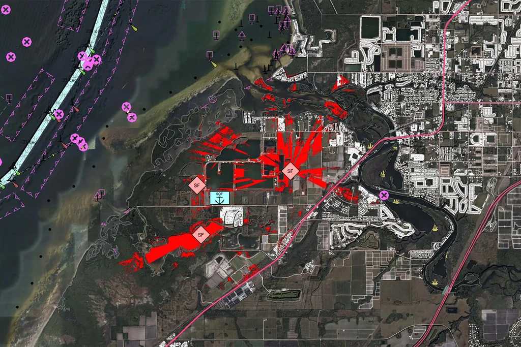
As part of Project Demo UCAV, Carmenta is proud to have participated in a drone exercise during Aurora 26, where its technology was used for UAS routing and mission planning.
Read more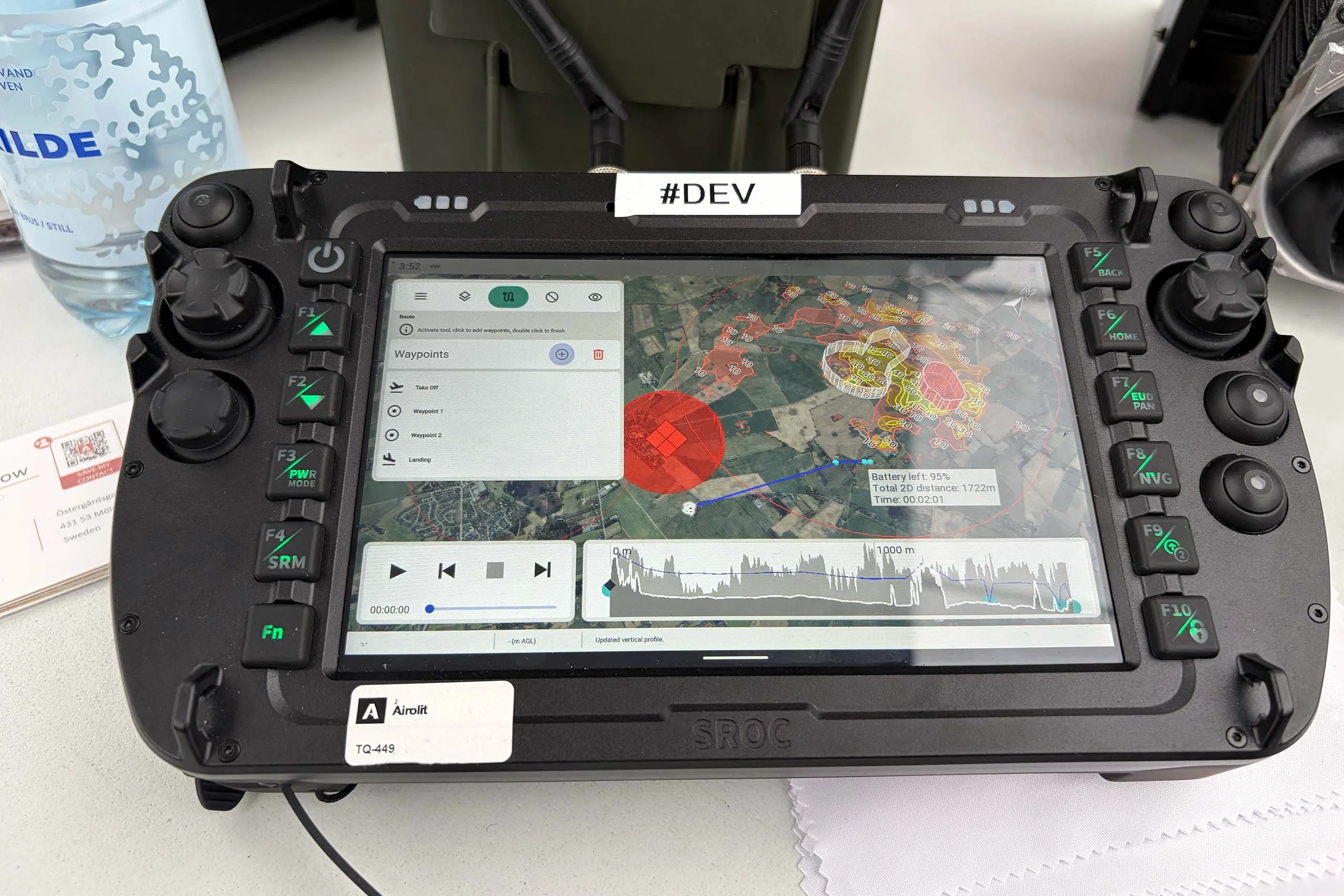
At the International Drone Show, Carmenta and Airolit demonstrated how easily Carmenta UAS Mission Kit integrates into existing UAV ecosystems.
Read more
Carmenta is proud to participate in NATO's Coalition Warrior Interoperability Exercise (CWIX 2026) in collaboration with Allied Armed Forces, and to contribute to this collaborative effort.
Read more