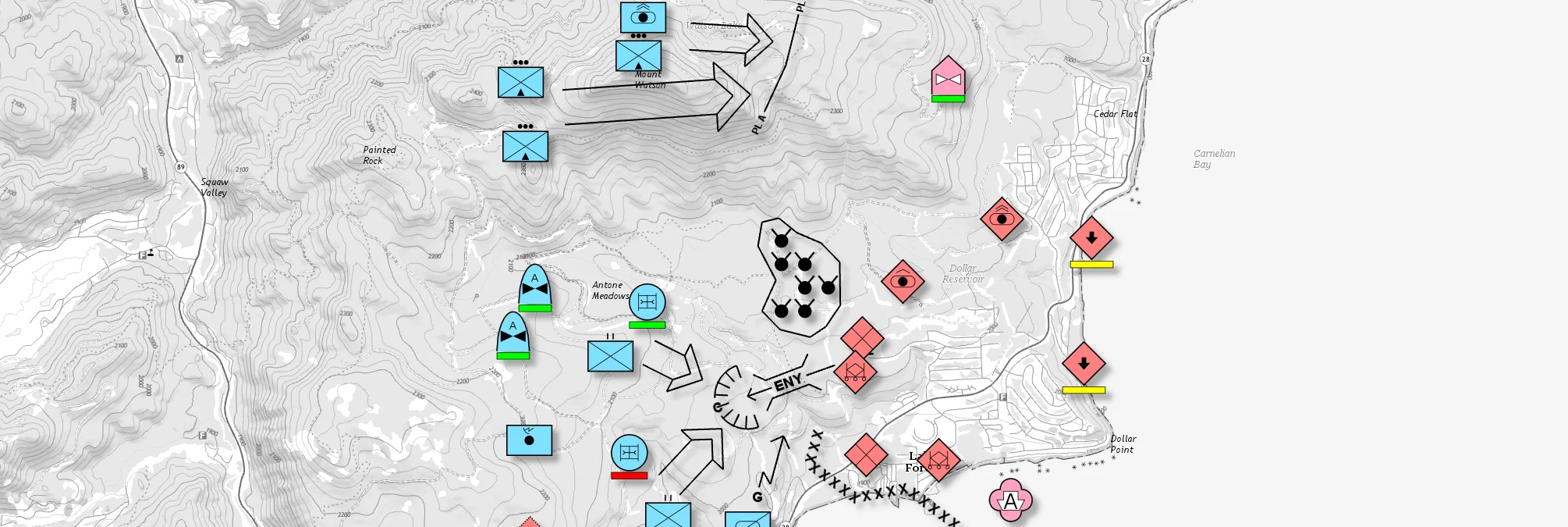
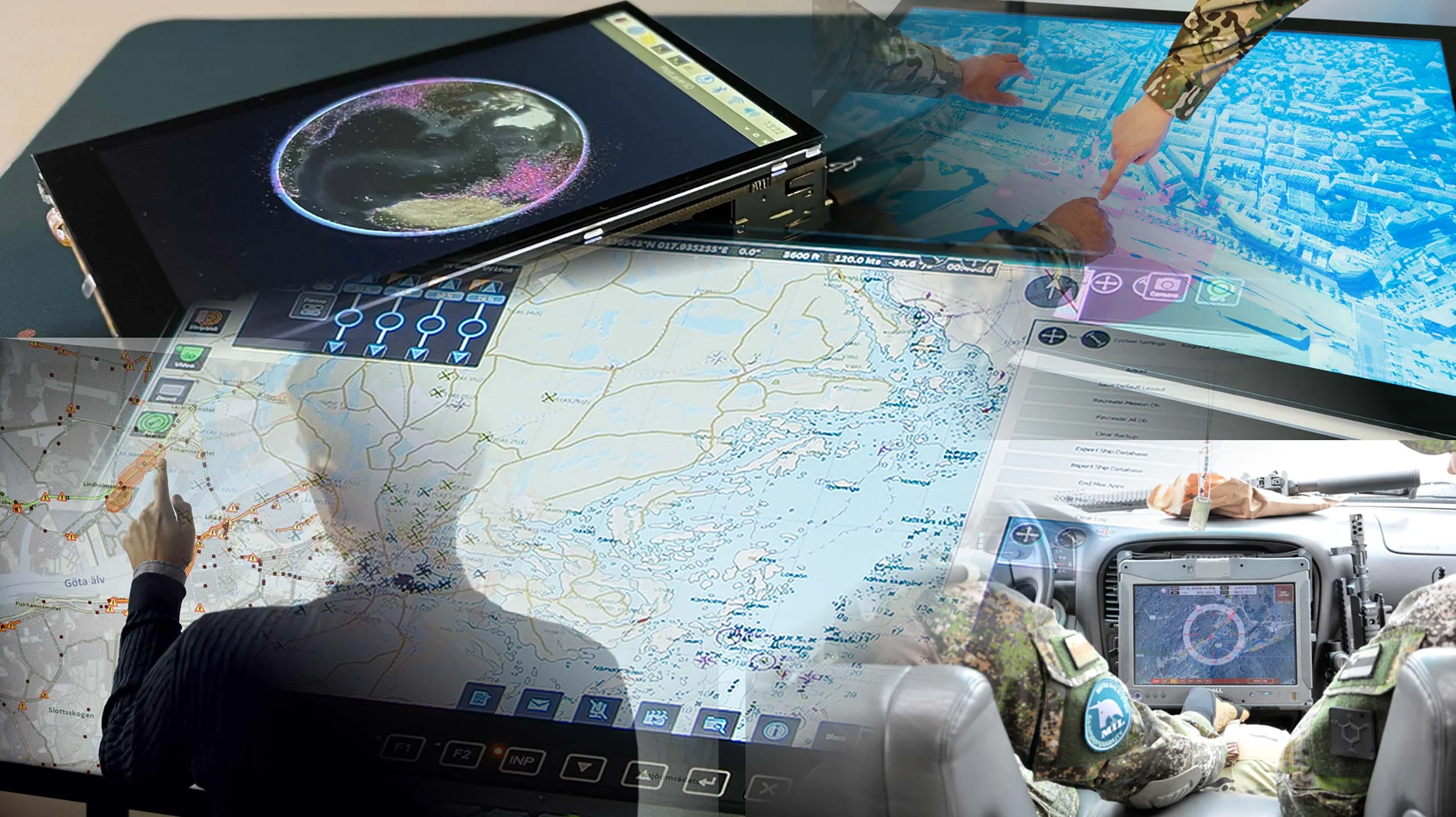
Military Tactical Overlays
There is no reason why the map display in a mission-critical system should be any less responsive or visually appealing than the map on a smartphone. What differs are the many specific requirements in these domains, such as adherence to military symbology and specific map data formats, and the ability to process large volumes of sensor data. Fulfilling these requirements while delivering a modern, responsive experience is no small feat.
Find out how you can cover all your geospatial requirements with Carmenta’s high-performance, scalable and interoperable geospatial technology.
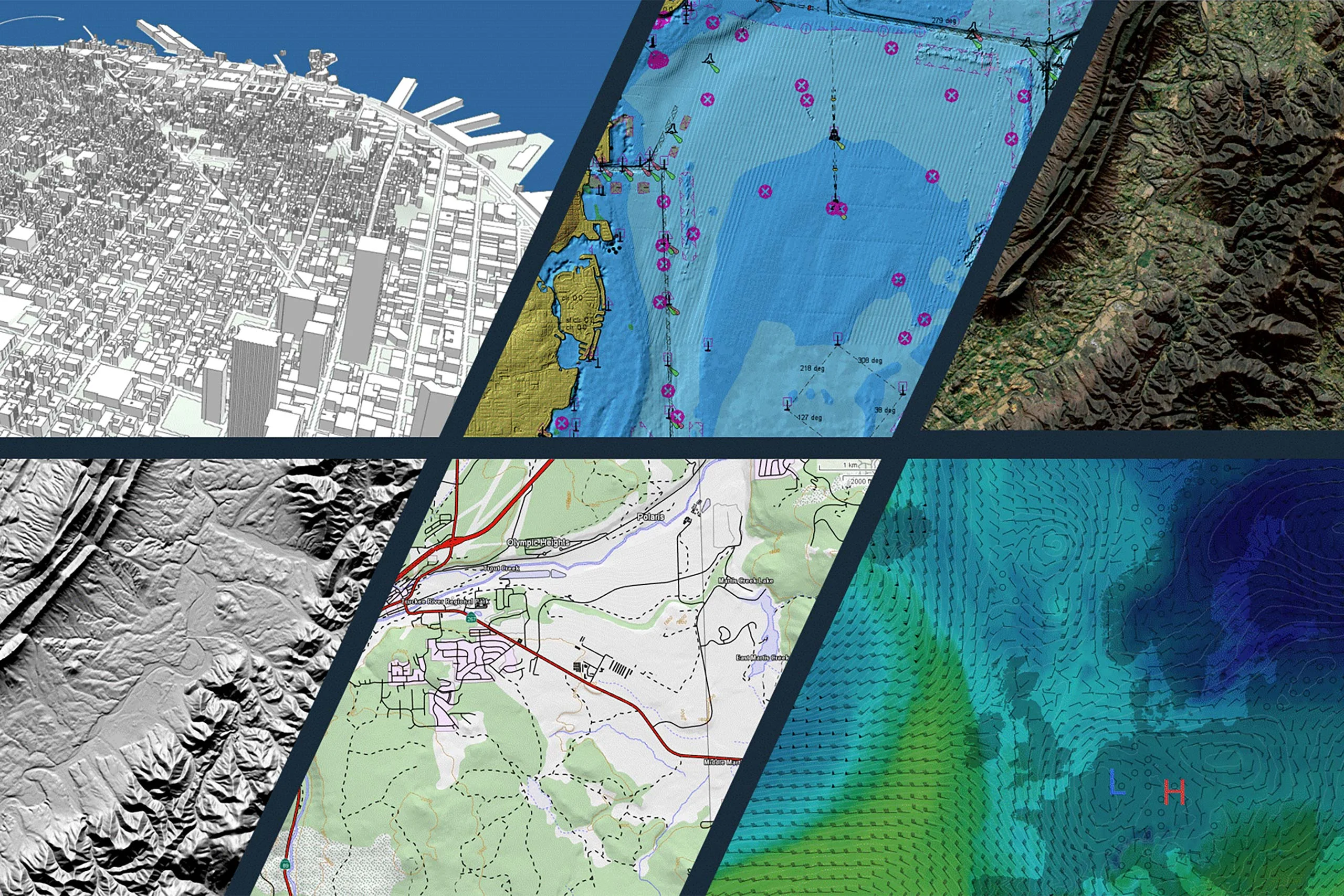
The ability to handle a wide variety of data formats, both current and emerging, is fundamental for mission-critical geospatial applications. One of the challenges is time-consuming and error-prone data conversion.
Carmenta technology is unique in its ability to read and process these formats directly, resulting in faster integration, reduced complexity and greater reliability in mission-critical environments. Our products support more than 100 geospatial data formats, including many military formats. This ensures compatibility across systems and future-proofs your application.
Carmenta is committed to continuous improvement and actively monitors and adds support for new data formats as they emerge. By staying ahead of industry developments, Carmenta minimizes integration challenges and eliminates the need for costly conversions, helping you to maintain operational readiness and reliability in mission-critical environments.
Whether you’re working with raster or vector data, legacy or cutting-edge formats, Carmenta ensures your system is compliant with current and future geospatial data requirements.
Geospatial data from any source
Whether you’re visualizing tactical operations across continents or aligning drone imagery to terrain, an accurate geospatial representation requires precise handling of coordinate systems and map projections.
Carmenta products provide extensive support for configurable reference systems, geodetic datums and projections, enabling your application to operate reliably across global and local geographies.

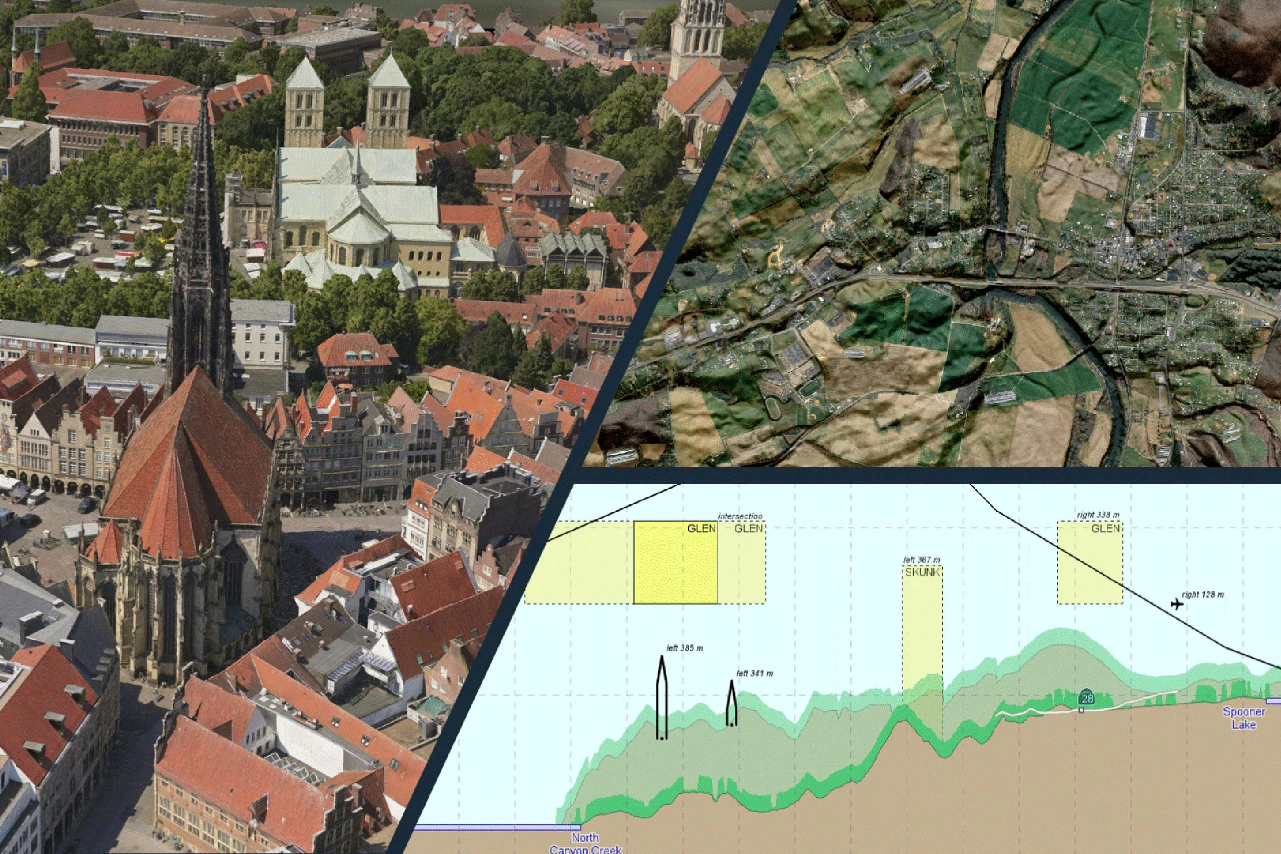
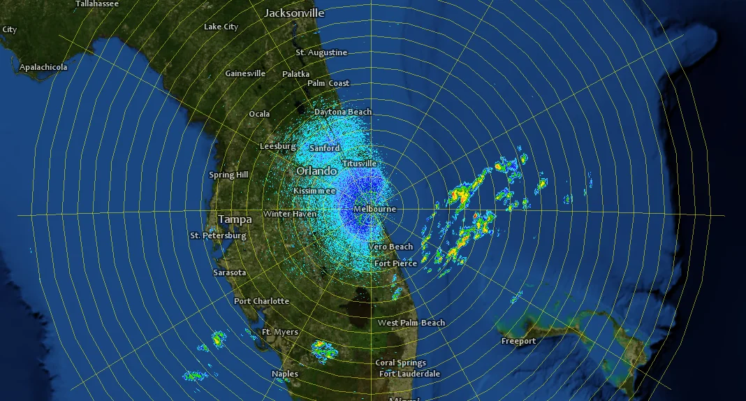
Aerial photo from Bing Maps
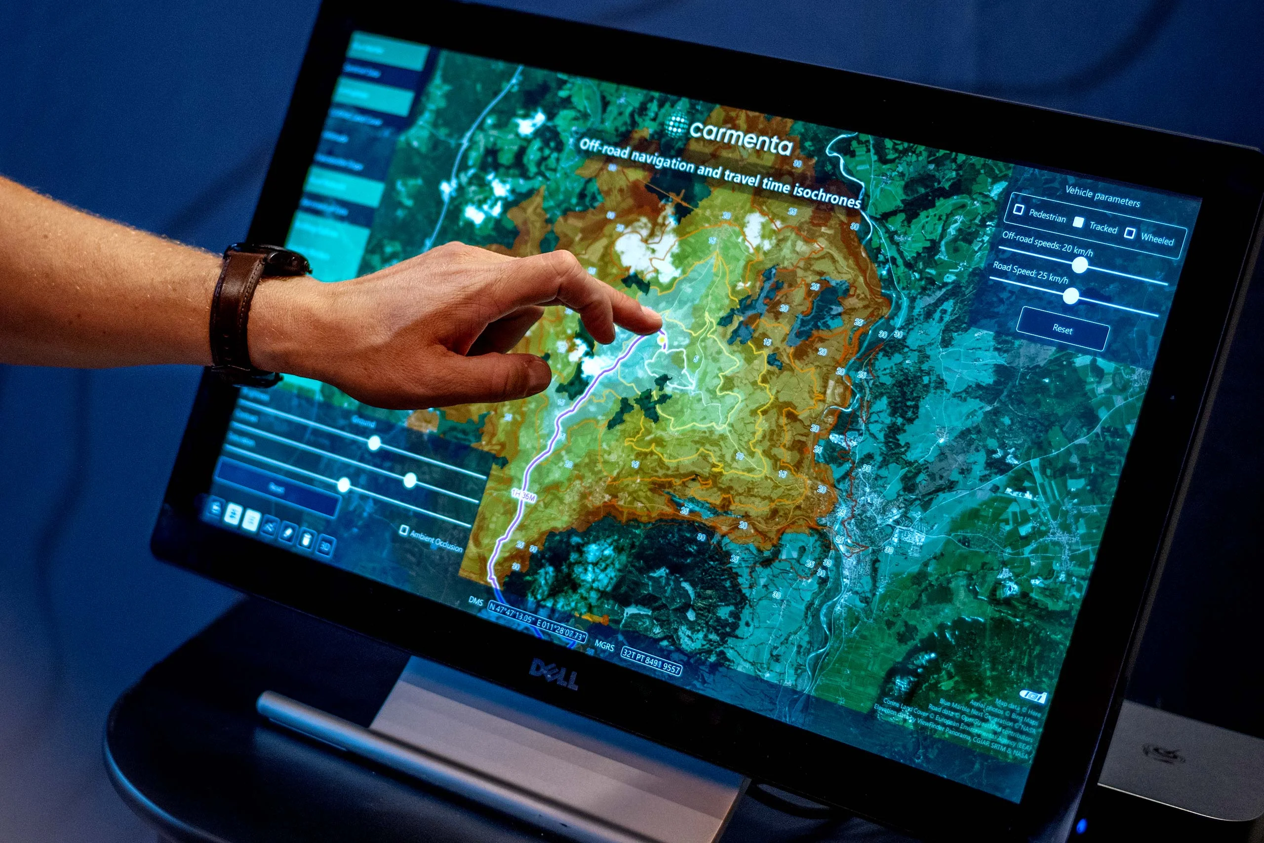
Responsive and intuitive map interfaces that facilitate real-time user interaction are a cornerstone of modern geospatial applications. For mission-critical systems that require operational agility and user engagement, they are essential.
Carmenta products provide built-in tools that enable highly interactive mapping experiences.
However, Carmenta technology offers more than just built-in functionality. It provides comprehensive support for developing customized map interactions, enabling developers to create tools tailored to their specific operational requirements. Whether it’s specialized drawing behavior, custom UI components or advanced event handling, Carmenta’s flexible SDK makes it easy to extend and adapt the map experience to fit any mission profile.
In dynamic environments, the ability to track and visualize moving assets in real time is essential. In applications involving mission planning, command and control, and situational awareness, location updates need to be reflected instantly and intuitively.
Carmenta products provide robust moving map functionality, allowing applications to follow the movements of vehicles, aircraft, vessels and uncrewed systems.
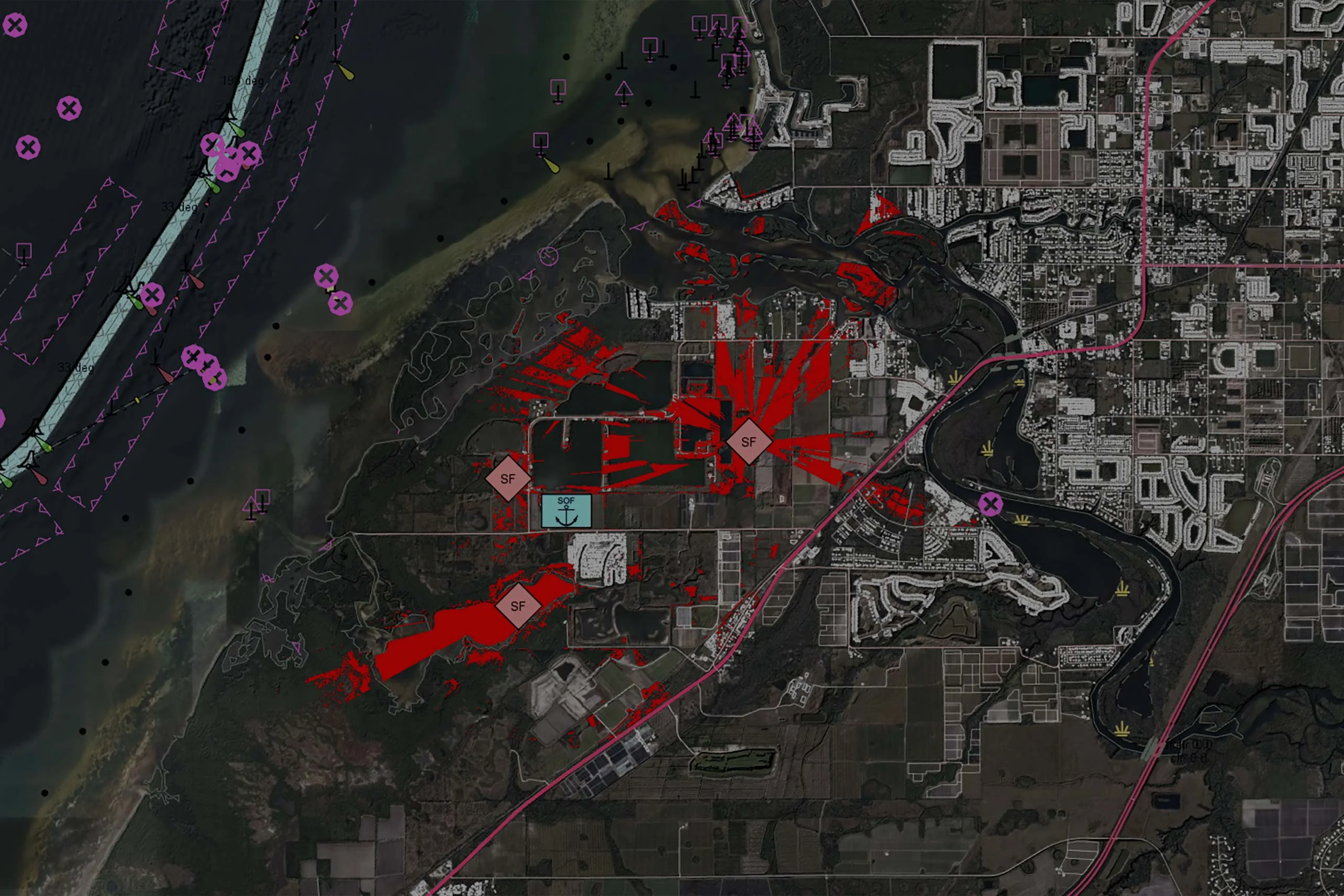
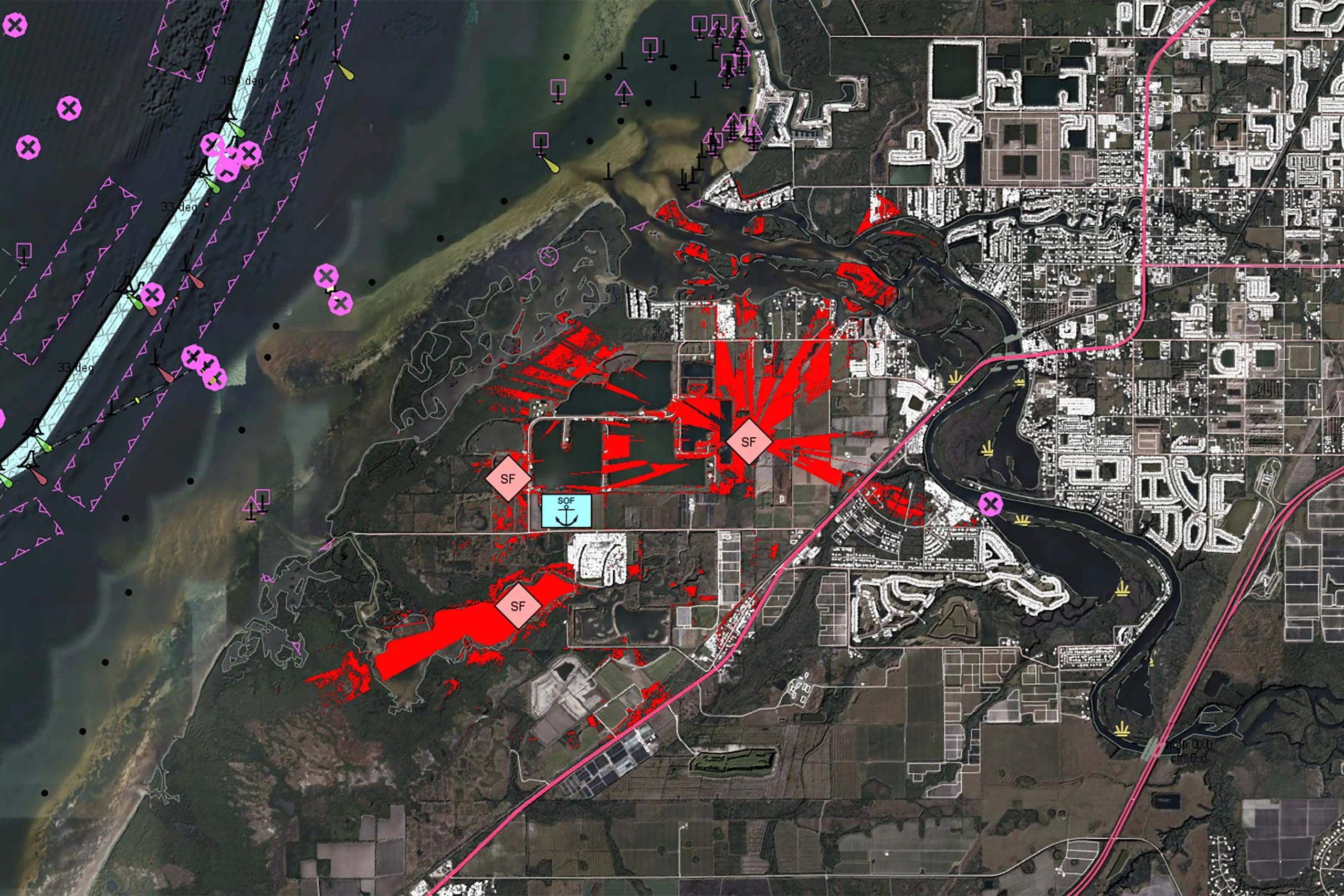
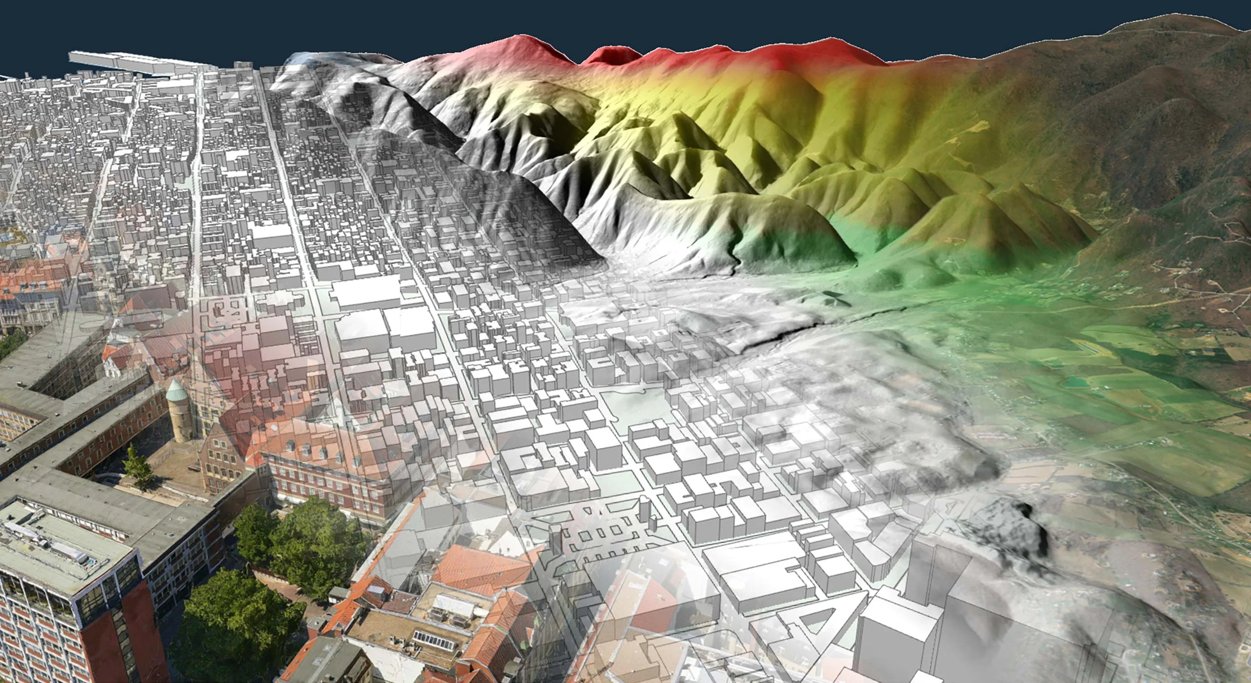
To get a comprehensive view of a situation, including the terrain, assets and threats involved, mission-critical applications often require multiple perspectives.
Carmenta products offer advanced visualization capabilities for 2D, 3D and vertical profile views.
These visualization modes can be used either independently or in combination to provide layered insights and help users make faster and more informed decisions.
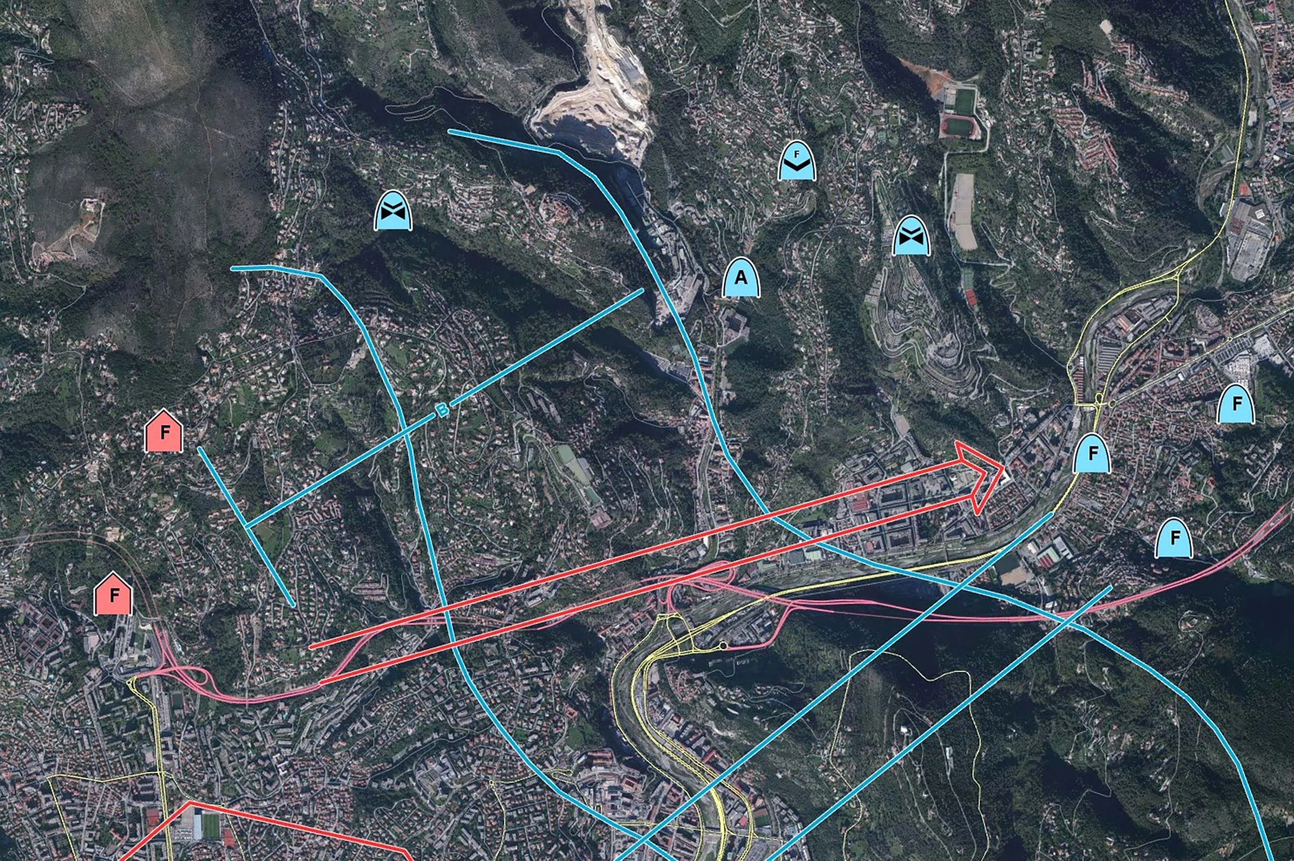
In defense applications, standardized symbology is essential for clear communication, interoperability and situational awareness.
Carmenta products provide extensive support for military symbology standards, allowing developers to incorporate tactical overlays that adhere to widely accepted specifications.
Mission-critical applications often require specific functionality for a particular mission. It is essential that geospatial solutions comply with current requirements and can adapt to future mission requirements.
Carmenta technology gives developers the flexibility to build exactly what they need. Whether you are working with proprietary data formats or implementing highly specialized analysis workflows, Carmenta products offer the necessary extensibility.
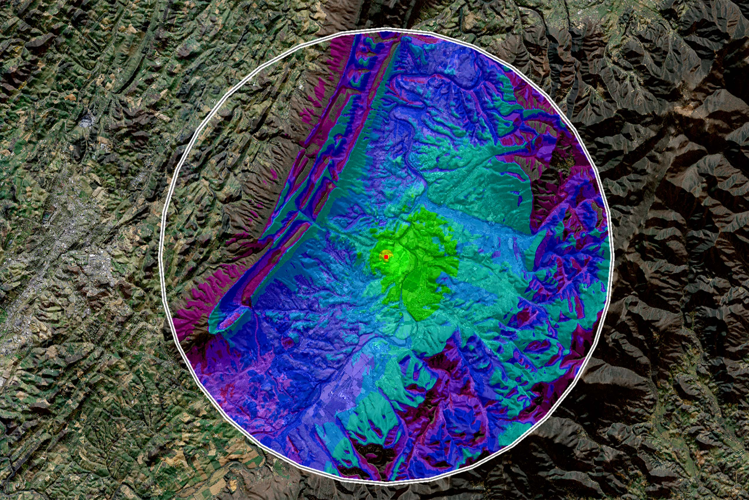
The image above illustrates radio propagation calculated using the Longley-Rice algorithm, implemented through Carmenta’s CustomPropagation feature. This example demonstrates how Carmenta technology makes it straightforward to integrate highly specialized algorithms, enabling developers to meet unique mission requirements without compromising performance or flexibility.
The Carmenta product suite is designed to meet the full spectrum of geospatial requirements for mission-critical applications, whether you are building systems for land, air, sea or uncrewed platforms. Carmenta delivers the tools needed for mission success, from handling over 100 data formats and advanced coordinate systems to enabling interactive maps, moving map functionality, 2D/3D visualization and standardized military symbology.
Developers can create custom tools, integrate proprietary formats and implement mission-specific analysis, ensuring that your solution is compliant today and ready for tomorrow.
Carmenta is a one-stop shop for building powerful, flexible and future-proof geospatial mission critical applications.
Geospatial technology that empowers you to see more, know more, and make better decisions – in real time.
Are you ready to see how our products can transform your work? Request a free trial today and explore the full potential of our geospatial technology.
Please specify which product/products you are interested in.
This form can be used to request a trial for: