Geospatial Data from Any Source
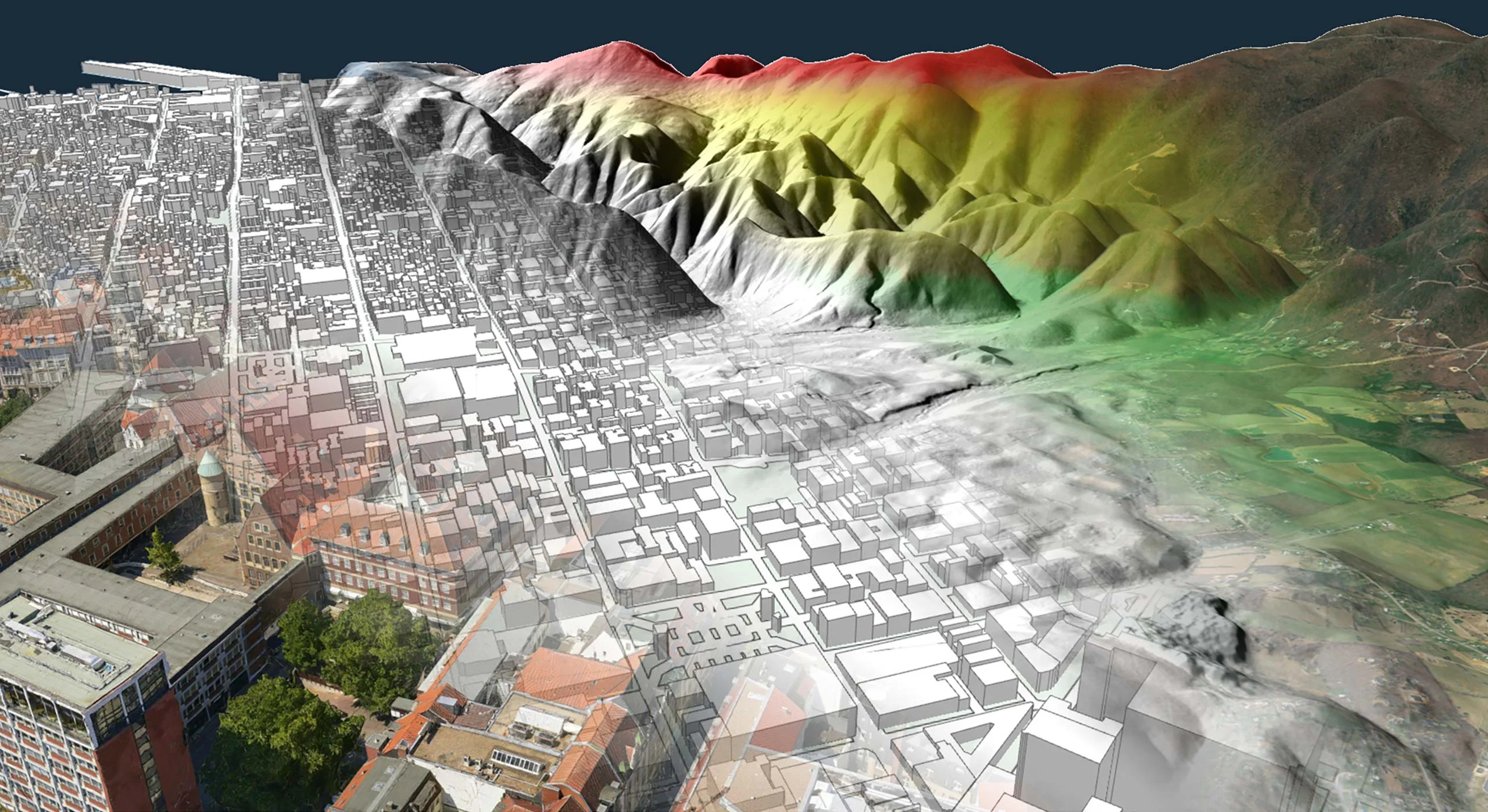

Carmenta Server allows you to visualize and distribute your geospatial data and analysis from a centralized server. Designed specifically for service-oriented architectures (SOAs), it is a reliable, performant, and interoperable backend for map applications.
Powered by Carmenta Engine, Carmenta Server can read, process, and render a large number of data formats – and make them available to a multitude of compatible clients as open and standardized interactive web services.
Delivers openness by conforming to open standards for both data sources and service protocols. This provides interoperability, where datasets and systems work together.
Whether you have data stored as raster or vector files, in spatial databases or hosted as OGC® web services, we’ve got you covered.
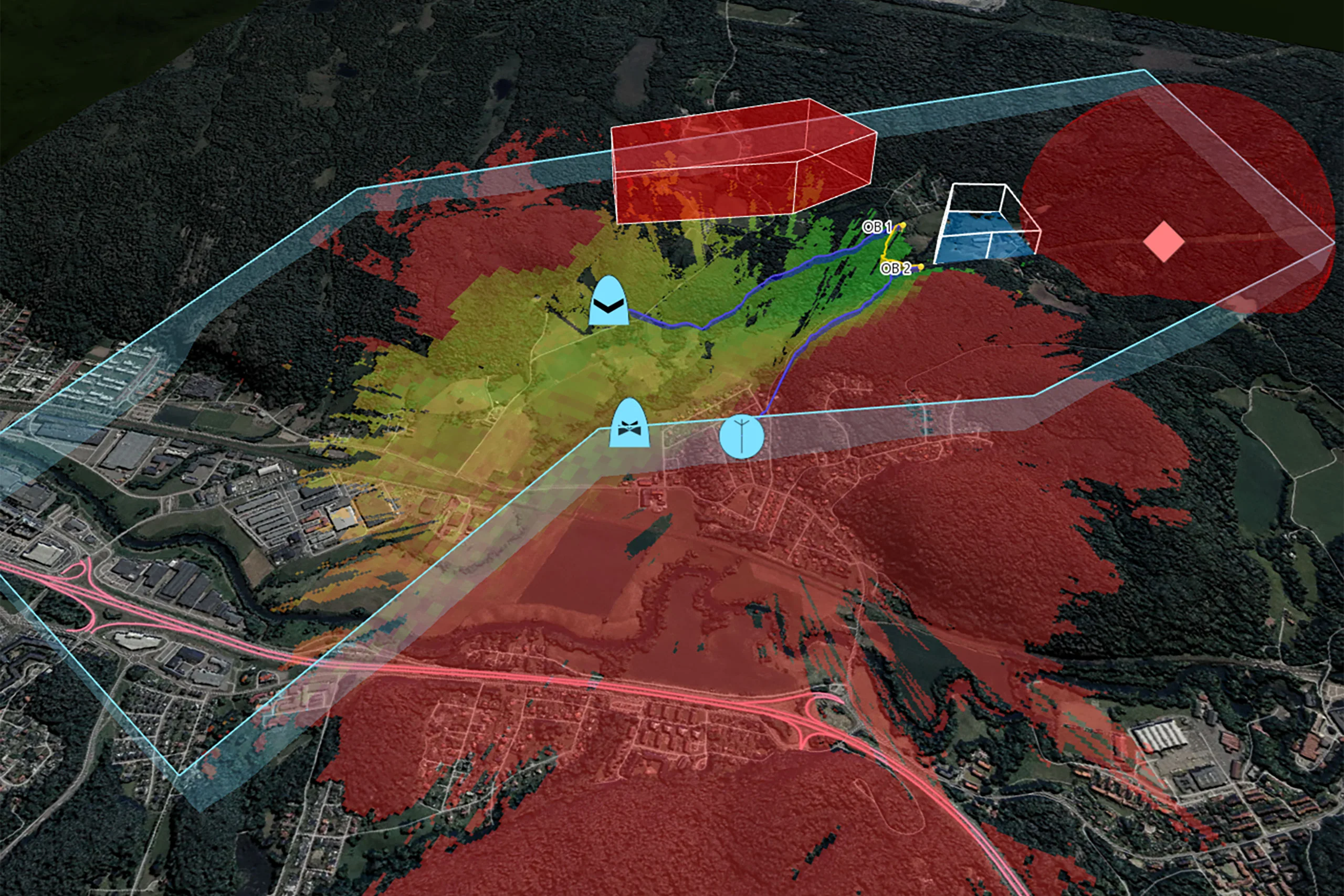
Built in support for analyses such as line of sight, vertical profile, vertical clearance and terrain routing. And support for plugging in your custom analysis.
Host your map services onboard your local system or scale up to run on large cluster server, on-premise or in the cloud, it’s up to you.
Carmenta Server is the ideal tool for building highly scalable web-based map applications as well as supporting your desktop map applications, whether these are third-party or based on Carmenta Engine.
System integrators and software developers can benefit from Carmenta Server’s adaptability and small footprint, as it can be easily integrated into any new or existing system architecture. Not to mention its hassle-free setup, user-friendly administration, and flexible licensing system. With Carmenta Server’s Software Development Kit (SDK), customers can develop, test and integrate online map services in a cost-effective manner.
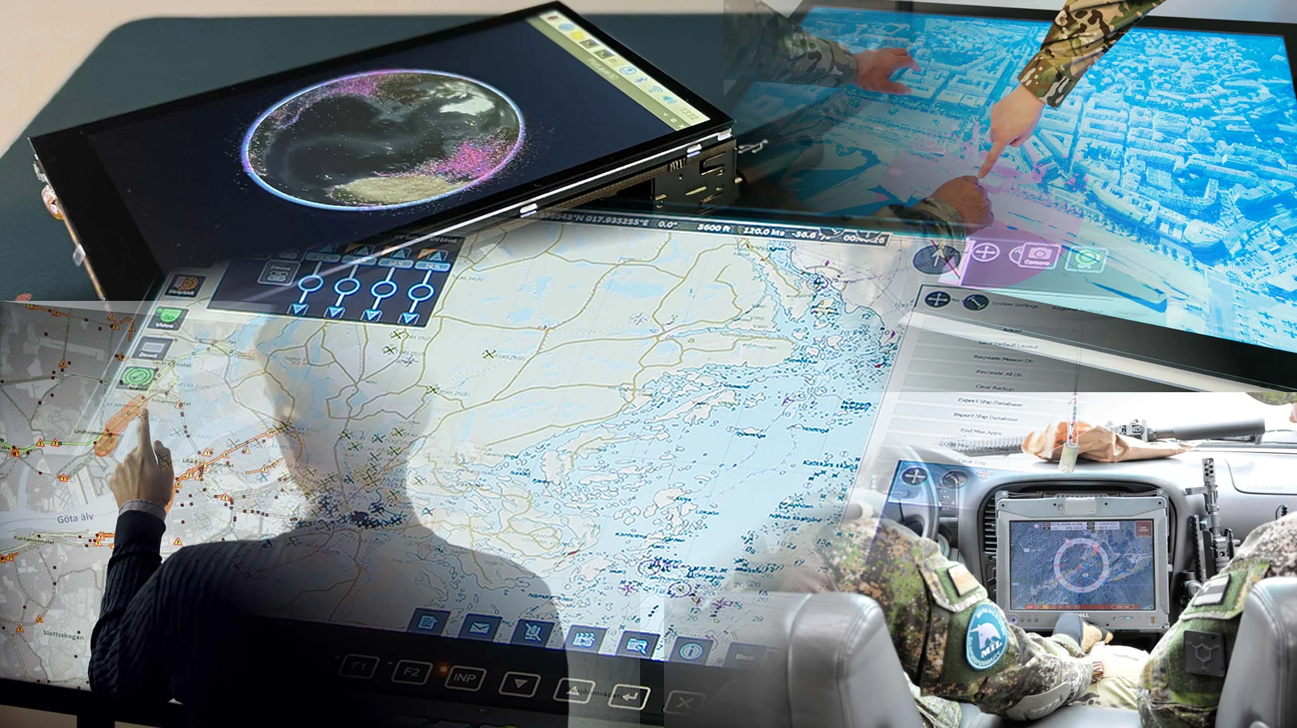
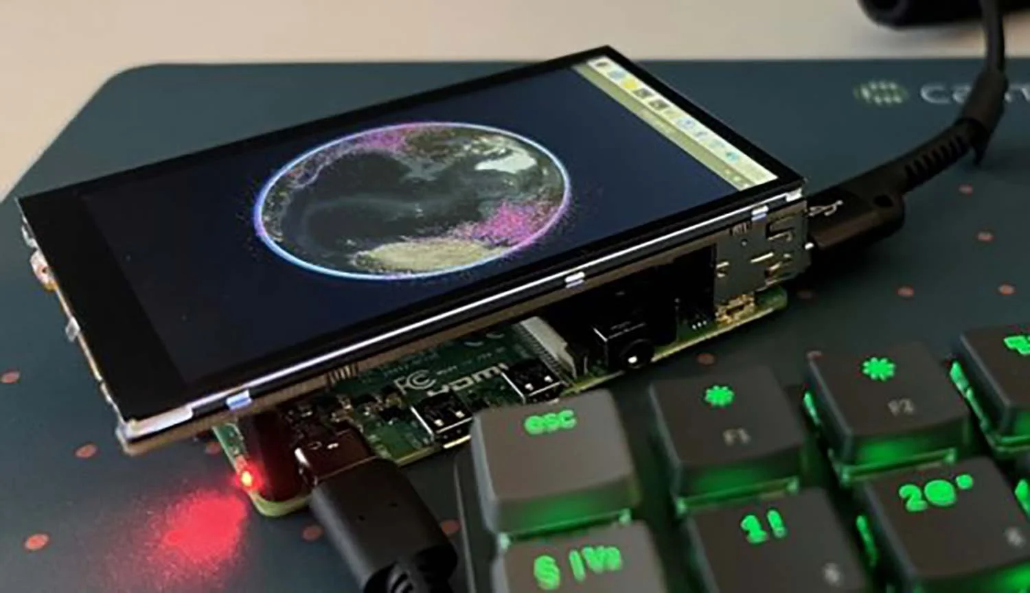
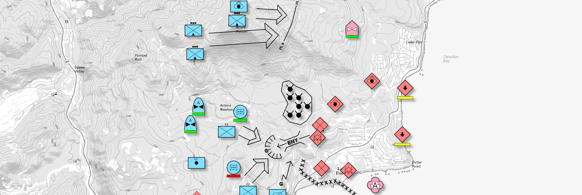
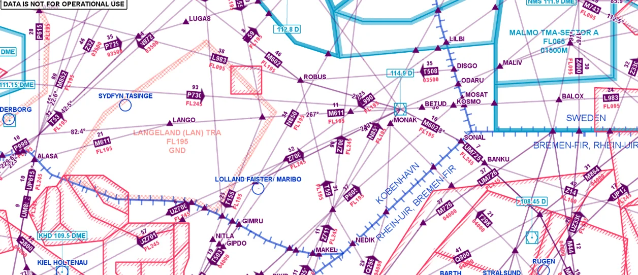
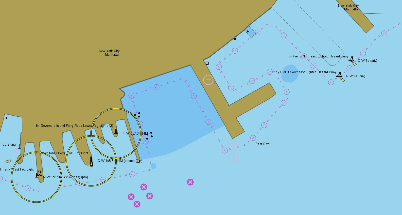
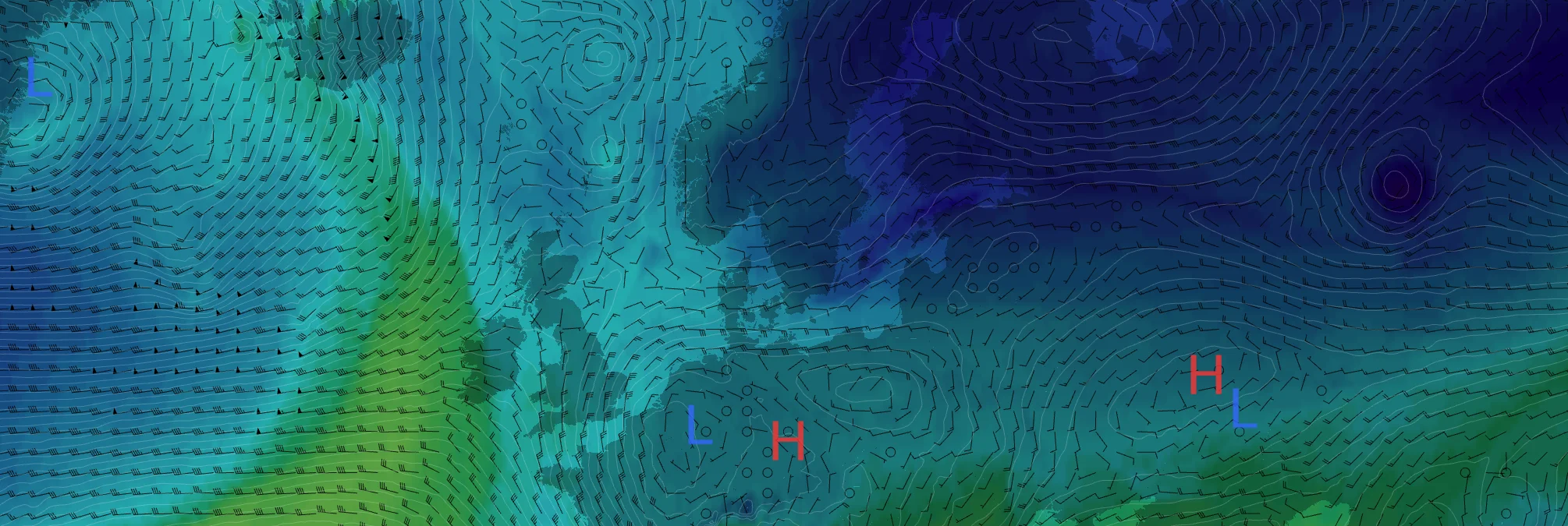
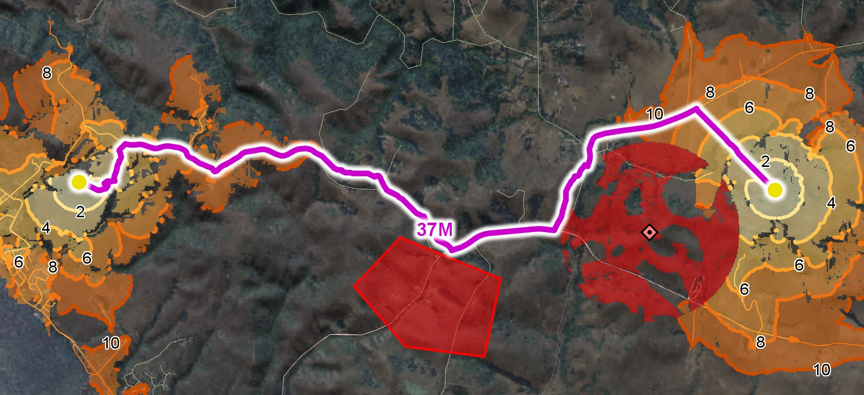
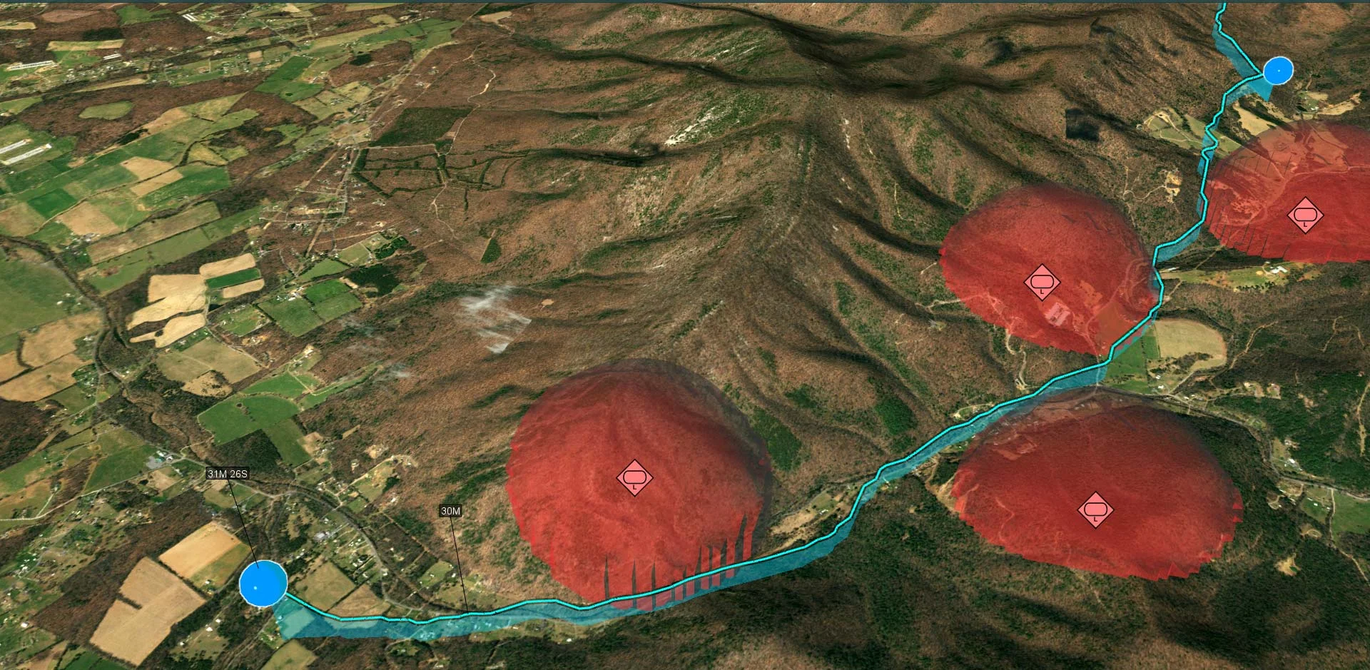
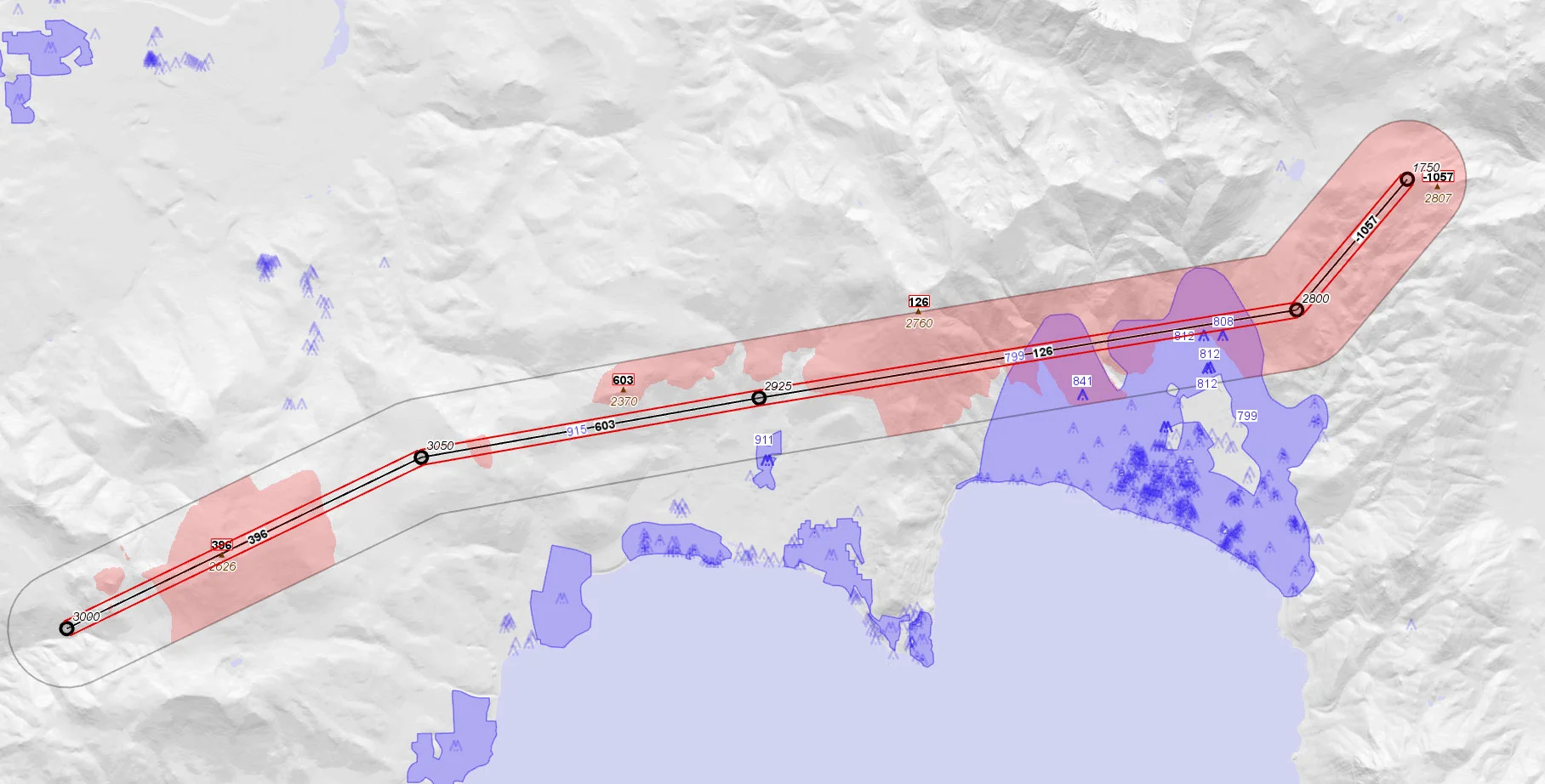
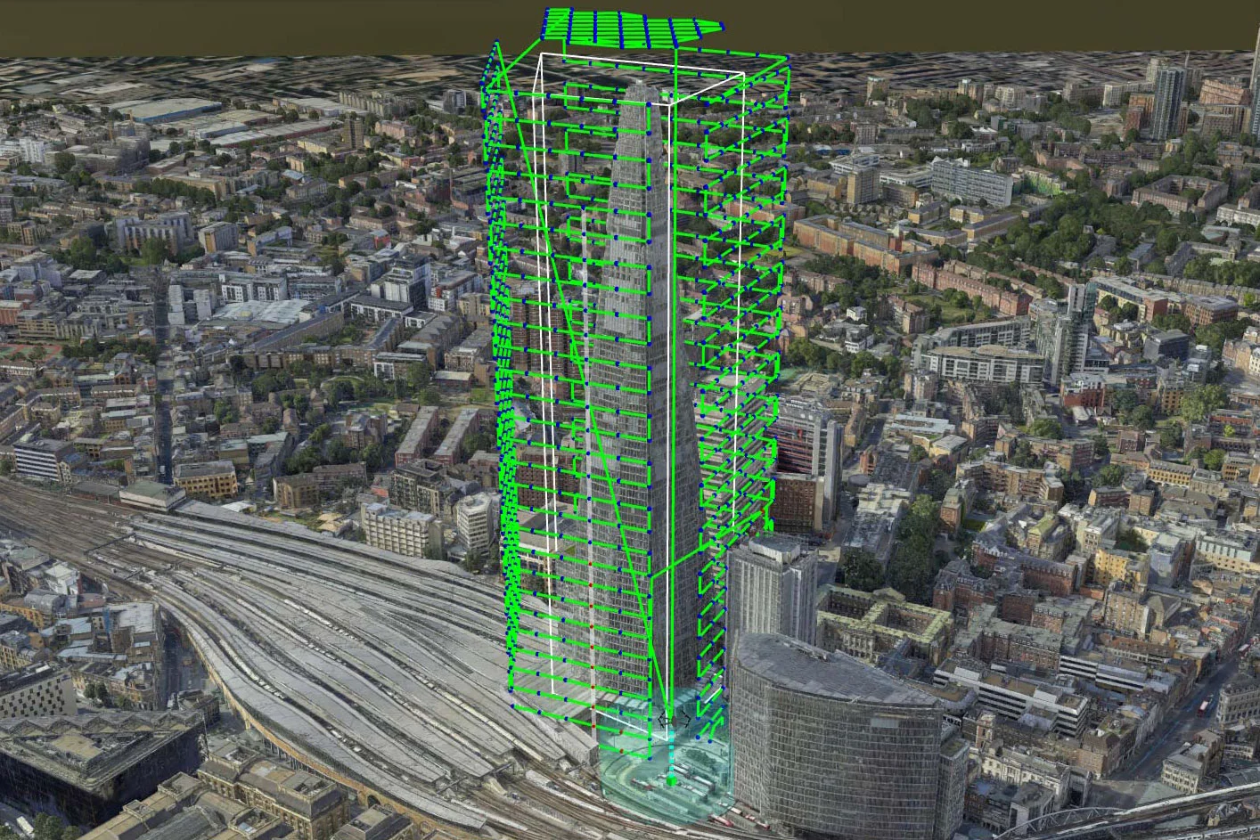
Carmenta Server has demonstrated outstanding performance and reliability in operational deployments, and handles all map and sensor data, together with all other types of 2D and 3D geospatial information.
Carmenta Server and Carmenta Server Core are two deployment versions, targeting two different platforms. They are based on one shared code base and features the same geospatial services and functionality. Simply choose what best suits your needs.
Carmenta Server is a geospatial server platform for making geospatial data available through standard web services. It enables organizations to publish maps, geospatial data and analysis capabilities, helping users access and share geospatial information across systems and applications.
Carmenta Engine is a geospatial SDK designed to be embedded into applications, while Carmenta Server is designed to publish geospatial data and functionality through standard web services. Carmenta Server is built on Carmenta Engine technology and can be used as the core of a geospatial web service environment.
Yes. Carmenta Server has broad support for open industry standards and certified compliance with many Open Geospatial Consortium (OGC®) interface specifications. It can publish geospatial information using standardized web service protocols and can also connect to external OGC services.
Yes. Carmenta Server supports deployment in a variety of IT environments. It is available for Windows Server and container platforms such as Docker, making it suitable for organizations that require on-premises deployment and control of their geospatial services.
Yes. Carmenta Server is designed for mission-critical solutions and has a proven record of reliability. It includes support for military tactical overlays according to MIL-STD-2525 and APP-6 standards and is used in applications that require interoperability, performance and dependable access to geospatial information.
Carmenta Server is powered by a high-performance map engine and is designed to make efficient use of hardware resources. Its internally scalable architecture enables it to deliver high performance and reliability when deployed in demanding environments and high-capacity web applications.
Carmenta Server can read geospatial data from more than 100 file formats, spatial databases and sensor data sources. This makes it possible to combine information from multiple systems without requiring extensive data conversion or preprocessing.
Are you ready to see how our products can transform your work? Request a free trial today and explore the full potential of our geospatial technology.
Please specify which product/products you are interested in.
This form can be used to request a trial for: