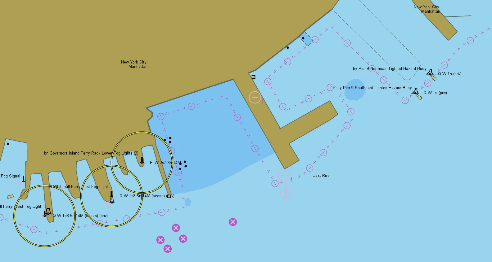
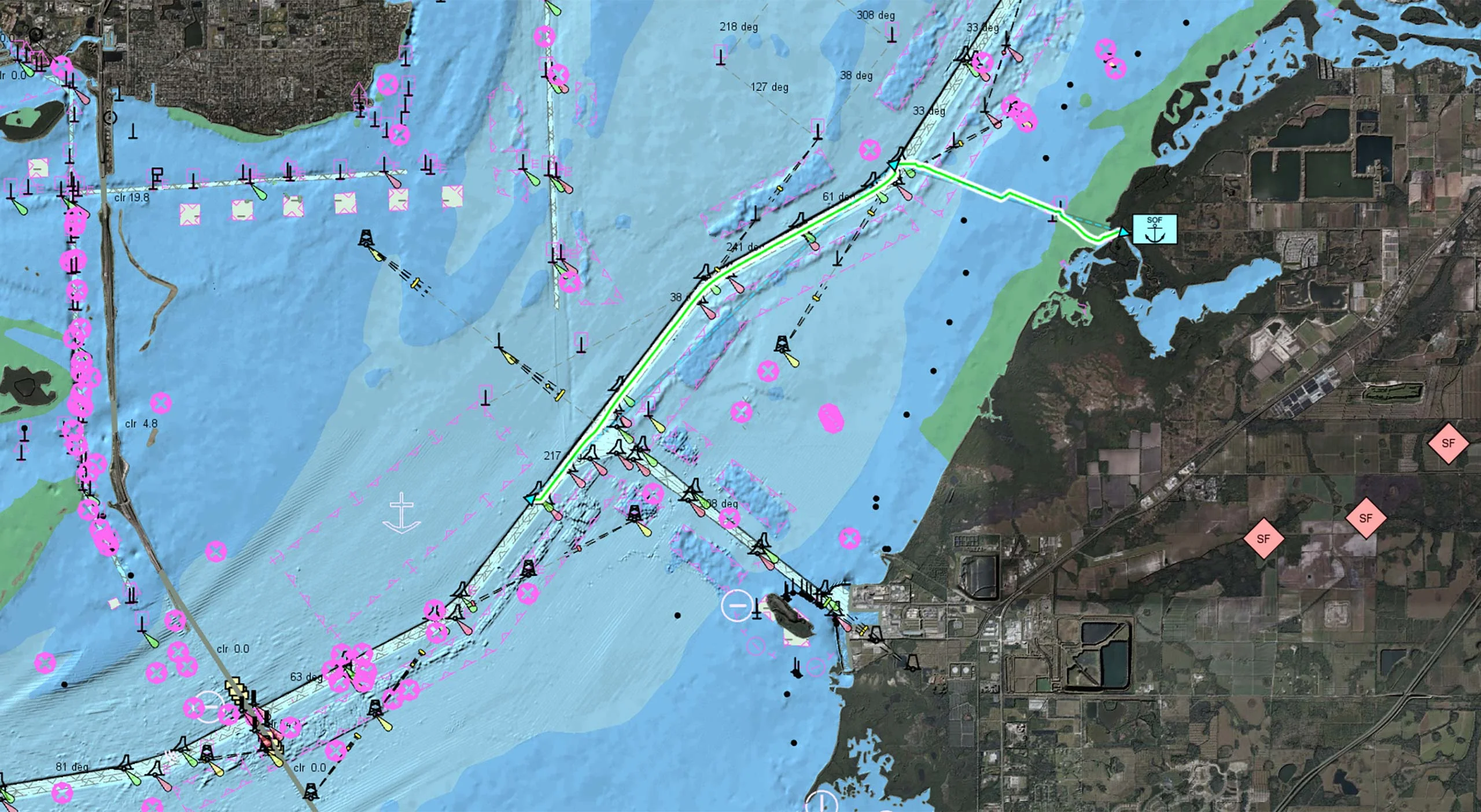
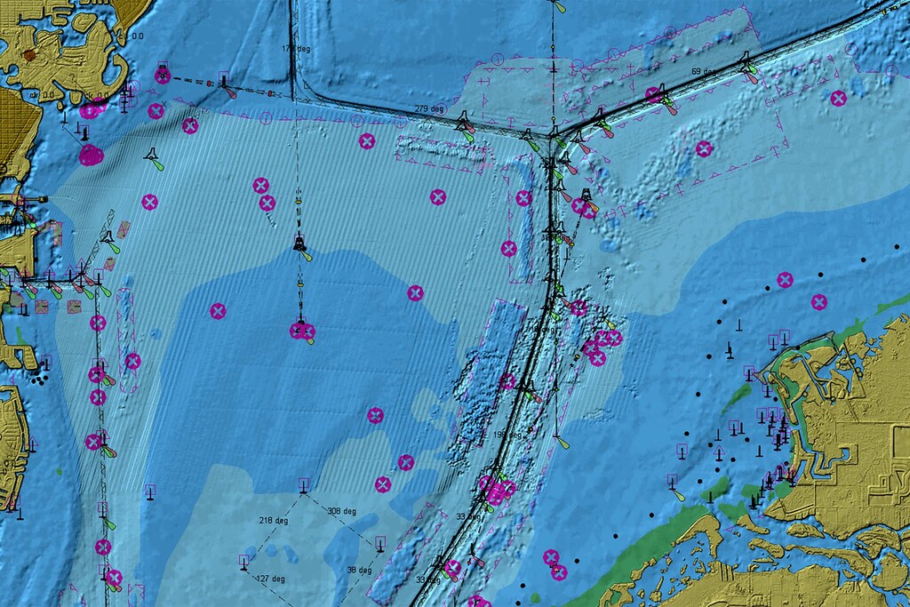
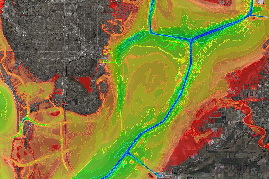
Nautical Charts
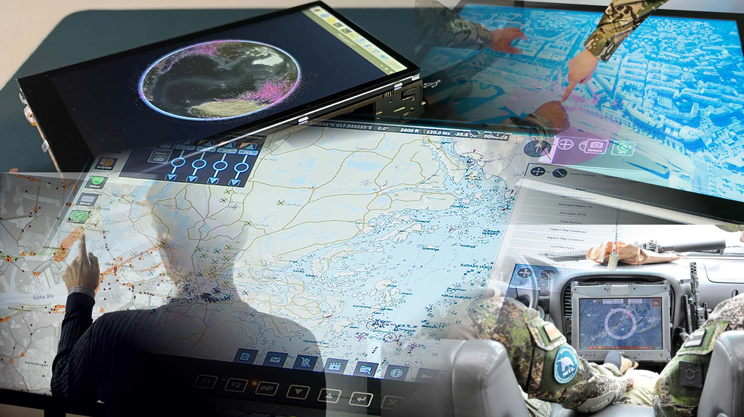
At the heart of these operations are Combat Management Systems (CMS), which act as central intelligence hubs by processing sensor data, evaluating threats and coordinating tactical responses.
In order to meet the demands of modern naval warfare, CMSs must do more than simply collect raw data. They must deliver actionable insights that empower operators to make informed decisions in real time. This is precisely the area in which Carmenta’s geospatial technology can make a decisive difference.
Naval missions rarely remain static, they evolve in response to changing threats, environmental conditions and strategic priorities, amplifying the need for dynamic mission planning and execution.
Carmenta’s geospatial technology provides maritime CMSs with rich, multi-layered data integration to enhance situational awareness and mission planning.
The S-100 sets standard, developed by the IHO, is gaining traction as a modern framework for hydrographic and maritime data.
At Carmenta, we’re always looking to meet the evolving needs of our users and aligning our roadmap based on customer needs. If your organization is exploring S-100 or could benefit from integrating it into your workflows, please get in touch with us at info@carmenta.com.

Geospatial data from any source
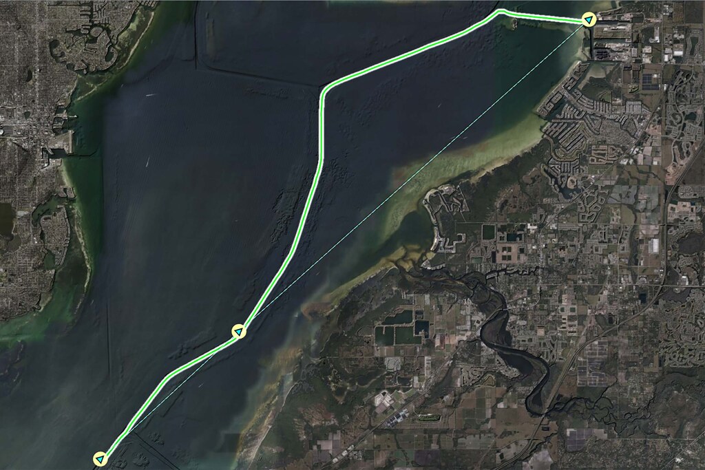
By identifying potential obstacles during the planning phase, the risk to the mission can be reduced. This proactive approach enhances operational safety and reduces the risk of mission disruption due to environmental constraints.
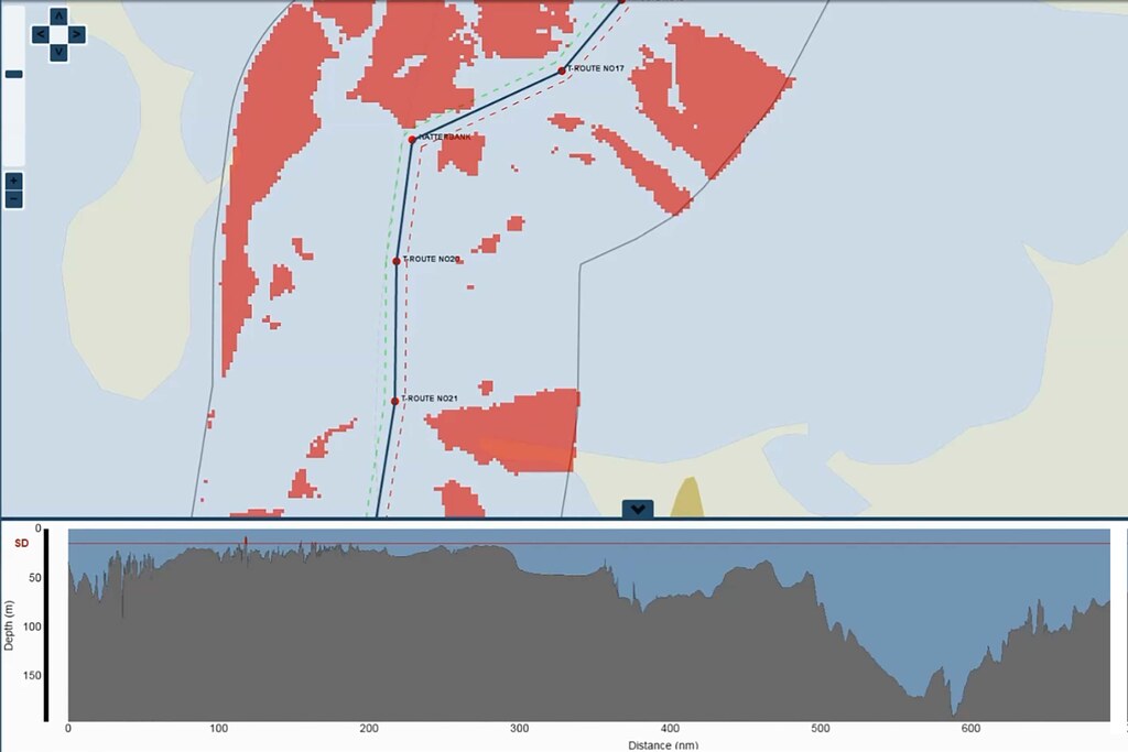
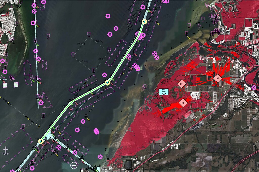
In maritime operations, selecting the optimal route is critical to mission success. Geospatial capabilities enable naval forces to intelligently plan and adapt vessel paths, factoring in mission objectives, environmental risks and operational constraints. This approach ensures mission continuity, operational safety, and tactical flexibility in complex maritime environments.
Whether the objective is speed, safety, stealth or efficiency, Carmenta provides the tools to calculate optimal routes, avoid hazards and respond swiftly to changing conditions.
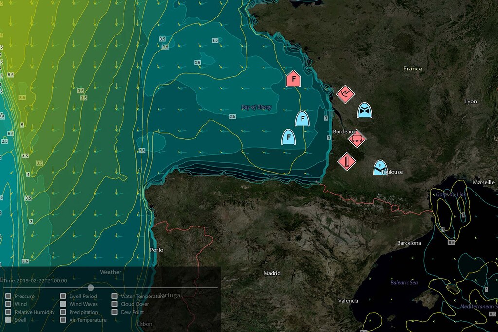
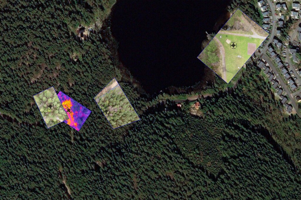
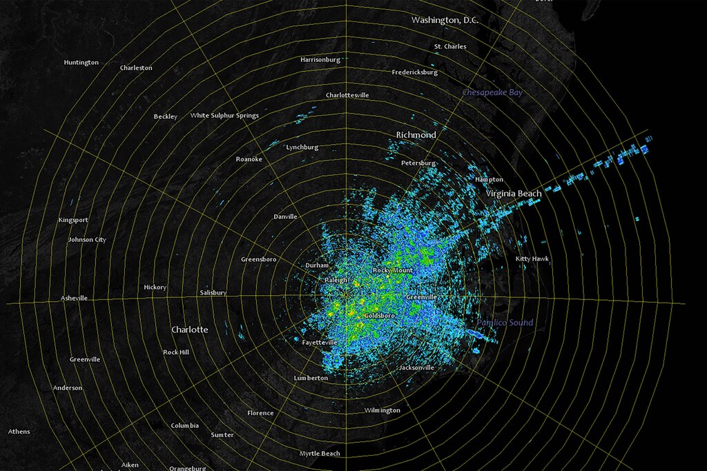
To create a clear, accurate and actionable view of the operational environment at all times, maritime operations rely on a wide range of sensors. By using comprehensive sensor fusion capabilities cognitive load can be reduced and situational awareness can be enhanced, enabling faster, more informed decision-making in surveillance, search and rescue and combat scenarios.
Carmenta’s geospatial technology seamlessly integrates data from radar, electronic warfare (EF), Automatic Identification System (AIS), electro-optical/infrared (EO/IR), and other sources to provide a unified, georeferenced view.
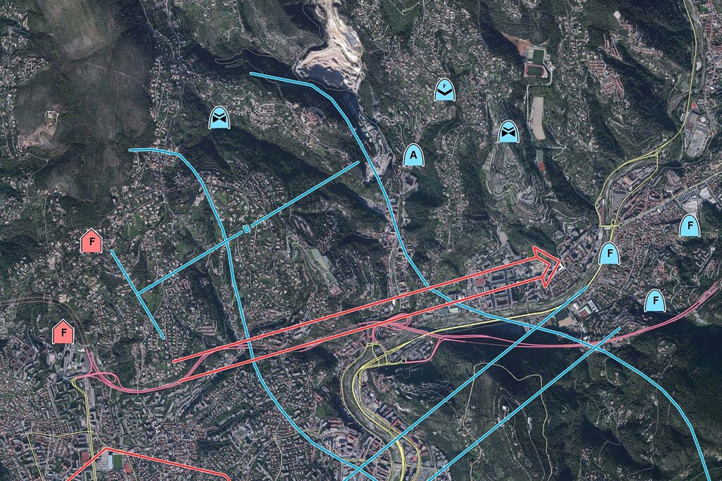
Naval missions are increasingly reliant on uncrewed systems operating across domains – on the surface, underwater and in the air. By integrating real-time geospatial intelligence and uncrewed mobility across all domains, Combat Management Systems can manage autonomous assets with confidence, ensuring safe deployment, synchronized movement, and mission alignment across all platforms.
Carmenta’s geospatial technology supports the precise navigation of landing operations and the seamless coordination of cross-domain UXS activities.
Uncrewed military mobility across all domains
In joint and multinational maritime operations, interoperability – consistent communication, shared situational awareness and smooth collaboration between allied forces and platforms – is paramount.
Carmenta’s geospatial technology is designed to integrate seamlessly with existing CMSs and adhere to key military standards.
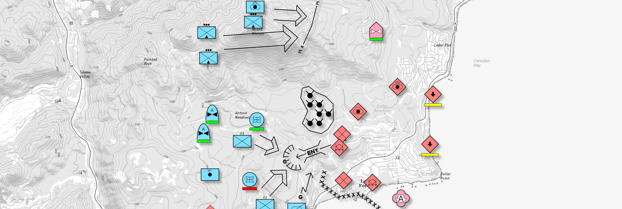
Provides full support for NATO APP-6 and MIL-STD-2525 (versions B, C and D) to ensure consistent tactical visualization.
Standardized maritime data handling through the integration of IHO S-57/S-63, AML, GRIB and C-MAP formats.
Designed for easy embedding into CMS architectures, supporting cross-platform interoperability
It enables a shared geospatial context to be established across allied systems for joint mission planning and execution.
This ensures that Carmenta-powered CMS solutions can operate effectively within coalition environments, providing support for unified command structures and reducing the complexity of implementation.
Combat Management Systems must operate under time-critical conditions where delays in data processing or visualization could compromise the success of a mission. It is critical that operators receive timely, actionable insights without delay, supporting fast decision-making and maintaining mission continuity in high-pressure scenarios.
Designed for high-performance environments, Carmenta’s geospatial technology delivers real-time responsiveness and a scalable architecture that meets the demands of modern naval operations.
Visualize large and complex geospatial datasets instantly, including dynamic overlays, sensor feeds and
Ensure a real-time response to changes in the mission, sensor inputs and operator interactions.
Adapts to varying hardware and operational requirements, from embedded systems onboard vessels to large-scale command centres.
Efficient memory and CPU management ensures smooth performance, even when processing large amounts of data.
Modern naval operations demand speed, precision, and adaptability in an increasingly complex, multi-domain environment. Carmenta’s geospatial technology empowers CMSs to meet these demands by transforming raw geospatial data into actionable insights, supporting everything from dynamic mission planning and safe routing to sensor fusion and uncrewed system coordination.
Whether you’re conducting a coordinated amphibious landing, navigating hazardous waters, executing a time-critical search-and-rescue operation, or enhancing your WECDIS system with world-leading geospatial capabilities, Carmenta provides the tools you need to maintain full situational awareness and operational control. Support for military standards, high-performance rendering and real-time data integration ensures interoperability, scalability and mission success across all platforms and domains.
From tactical decision-making to strategic coordination, Carmenta enables naval forces to operate more intelligently, quickly, and safely.


Geospatial technology that empowers you to see more, know more, and make better decisions – in real time.
Are you ready to see how our products can transform your work? Request a free trial today and explore the full potential of our geospatial technology.
Please specify which product/products you are interested in.
This form can be used to request a trial for: