Geospatial Data from Any Source
Endless Possibilities to Combine Data
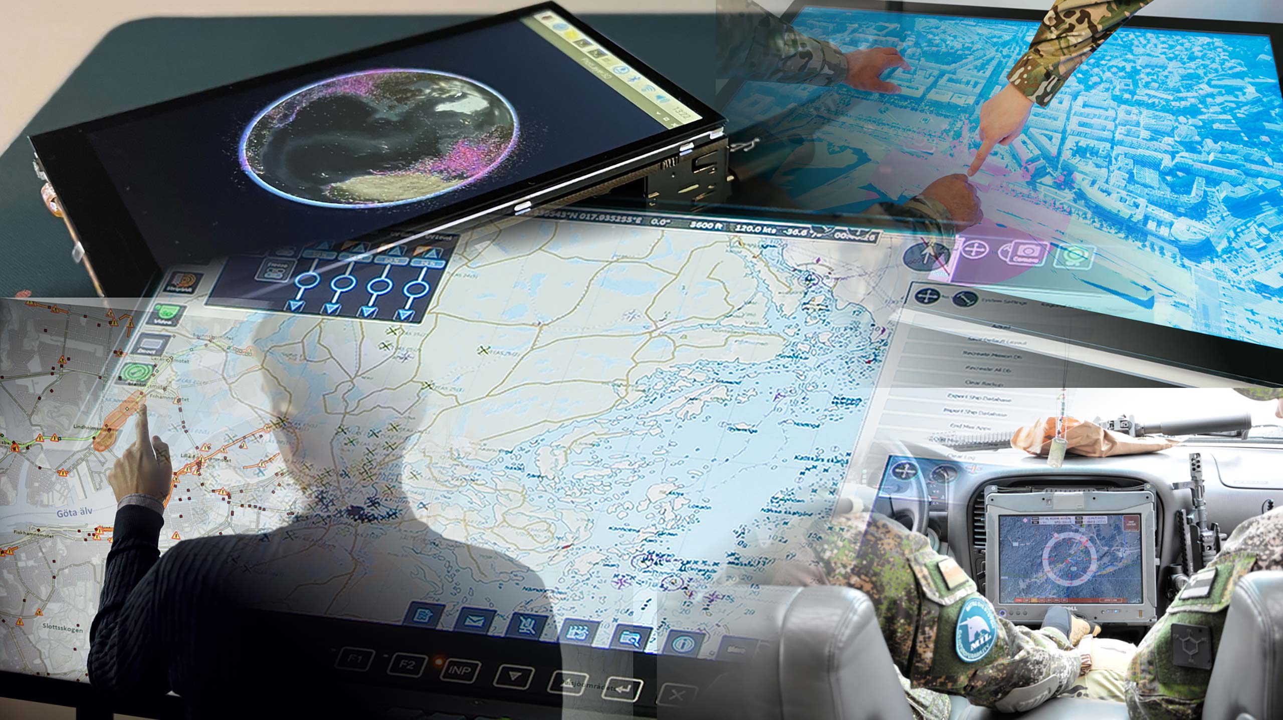
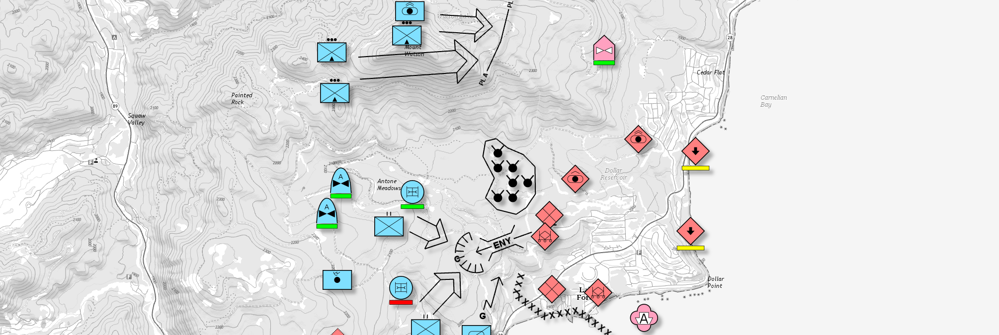
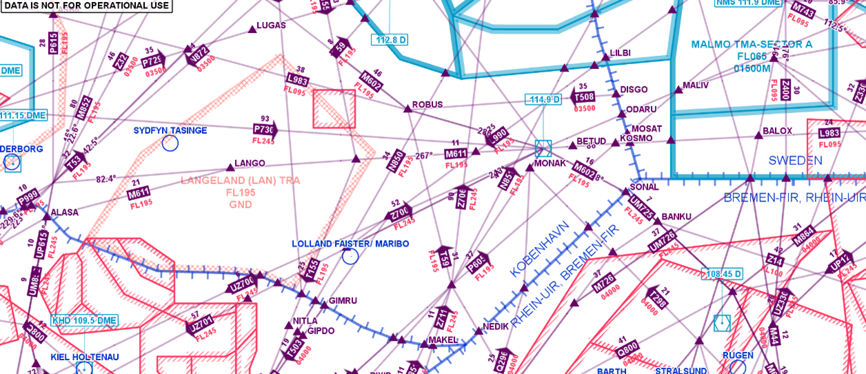
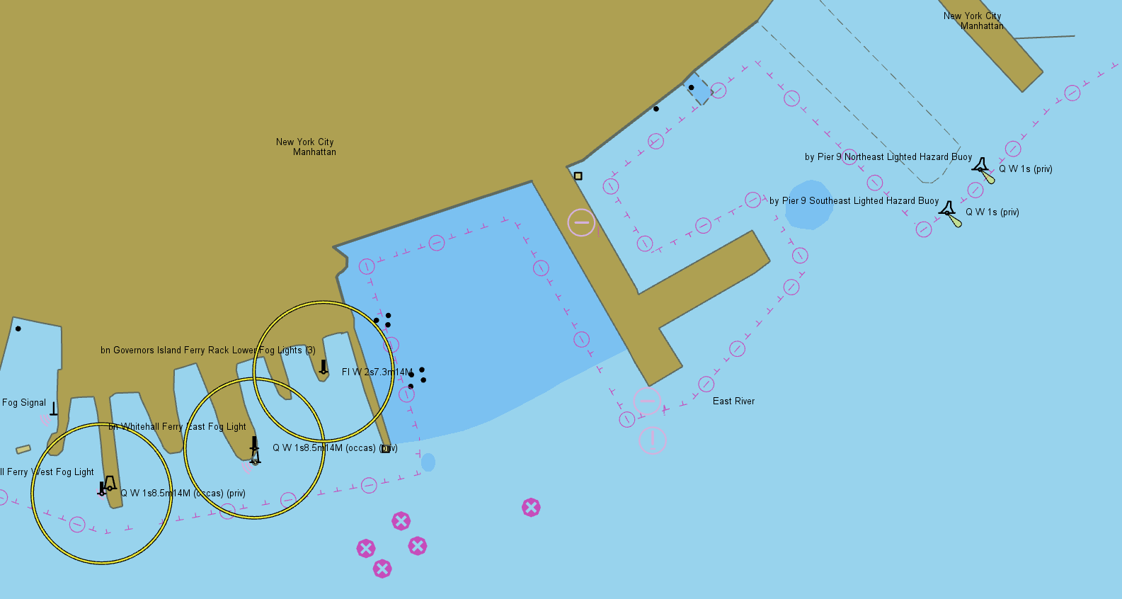
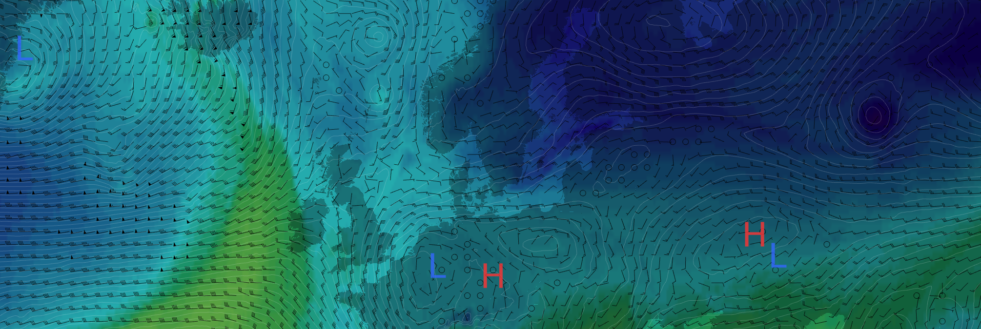
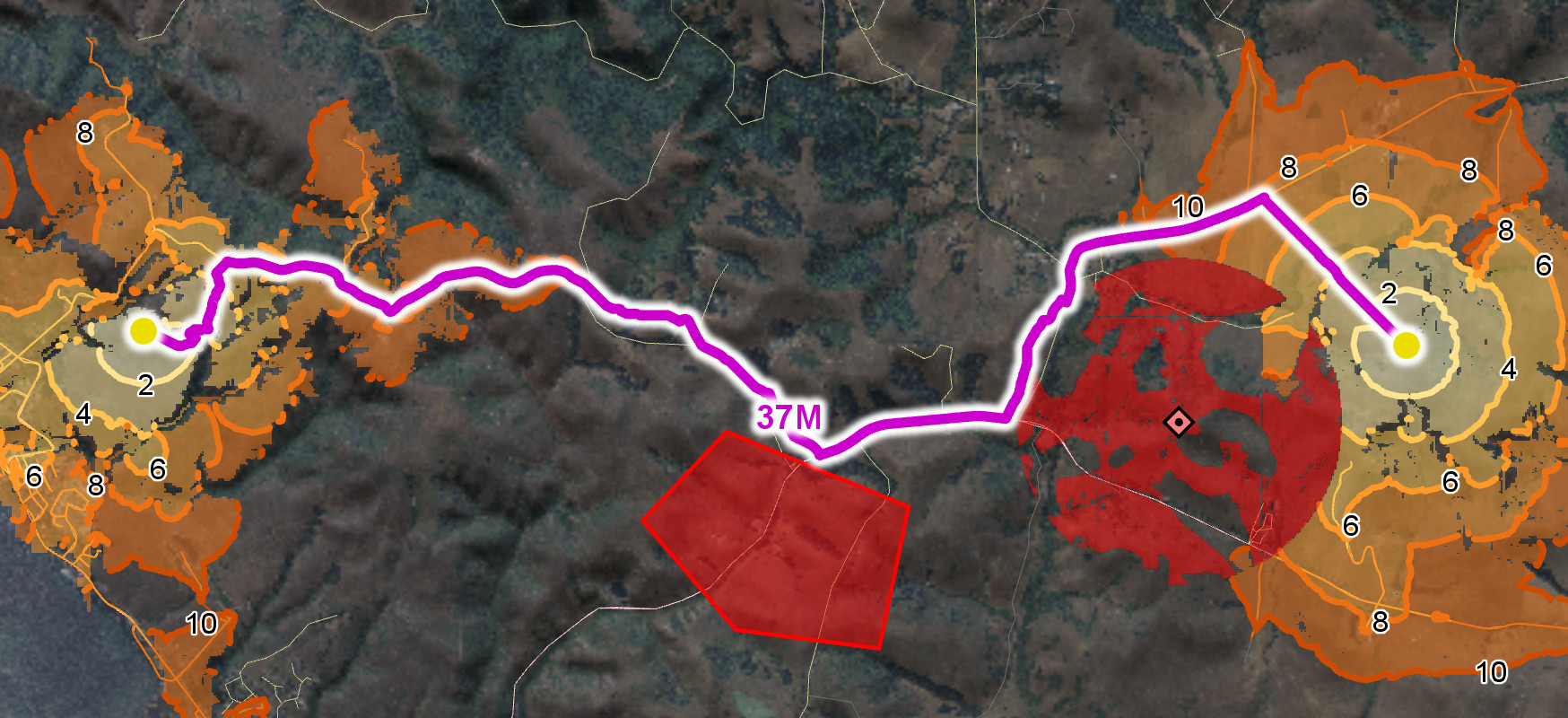
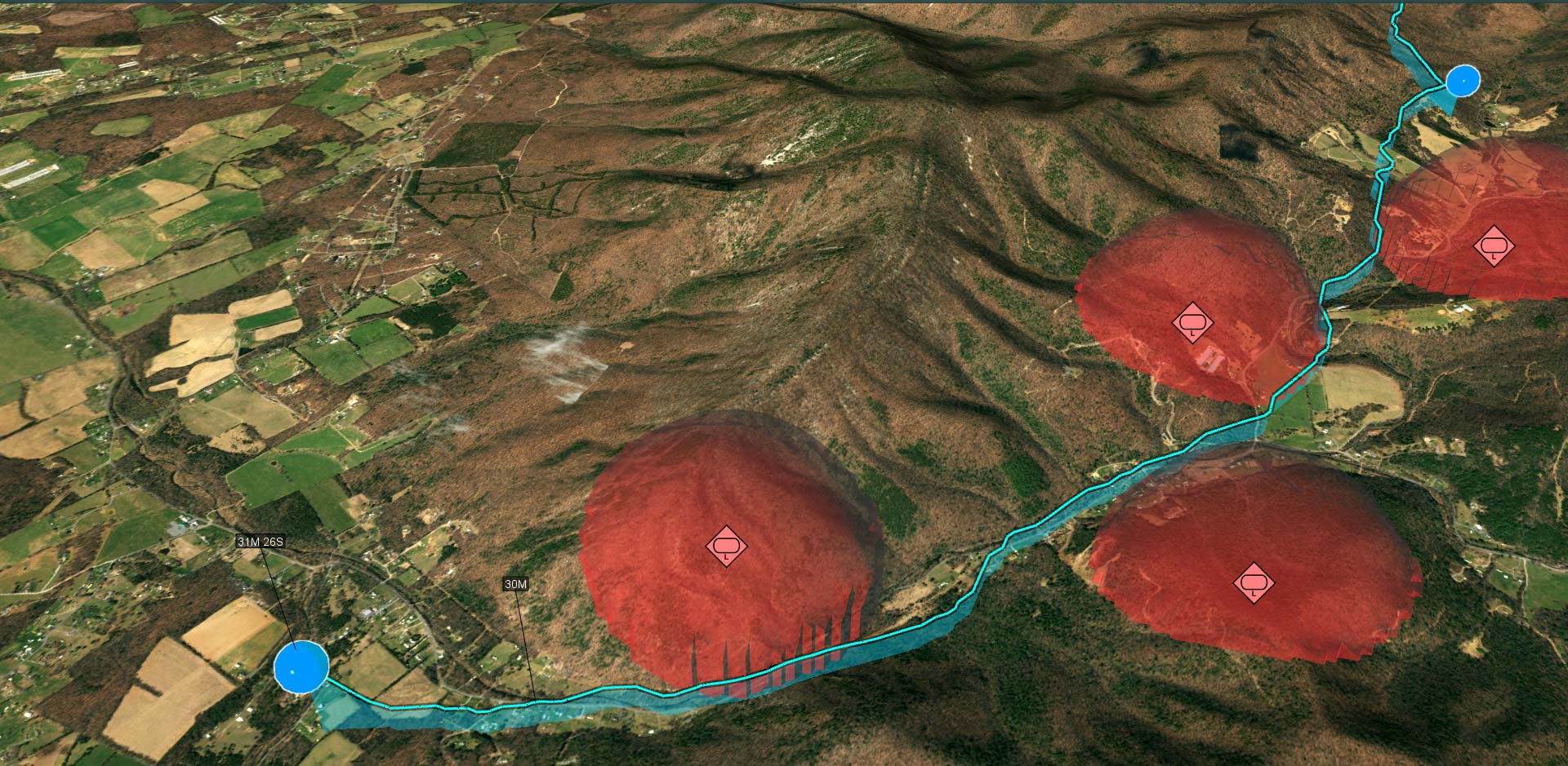
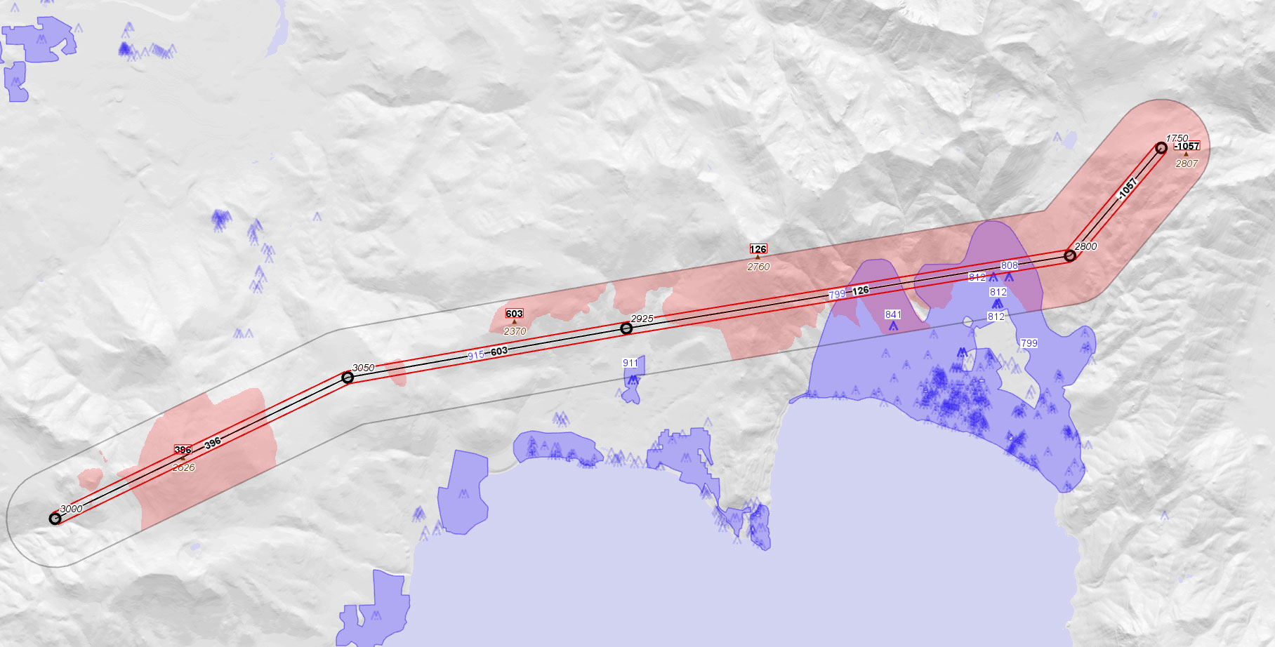
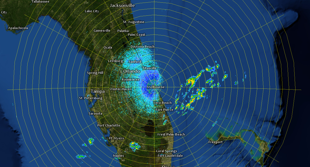
Carmenta’s geospatial technology gives you endless possibilities to combine different types of data. This makes it easy to seamlessly retrieve and present data from large and heterogeneous geographic databases, giving your end users superior situational awareness.
The Power of Extensibility
Thanks to a highly efficient geographic transformation engine, both raster and vector data can be re-projected on the fly between any projection or reference system, avoiding cumbersome pre-processing steps.
- Connect directly to many different file-based data sources, as well as geospatial databases and web service connections.
- Read geographical data directly from more than 100 different formats.
- Use data in original formats – no conversion needed.
- Combine static and highly dynamic data.
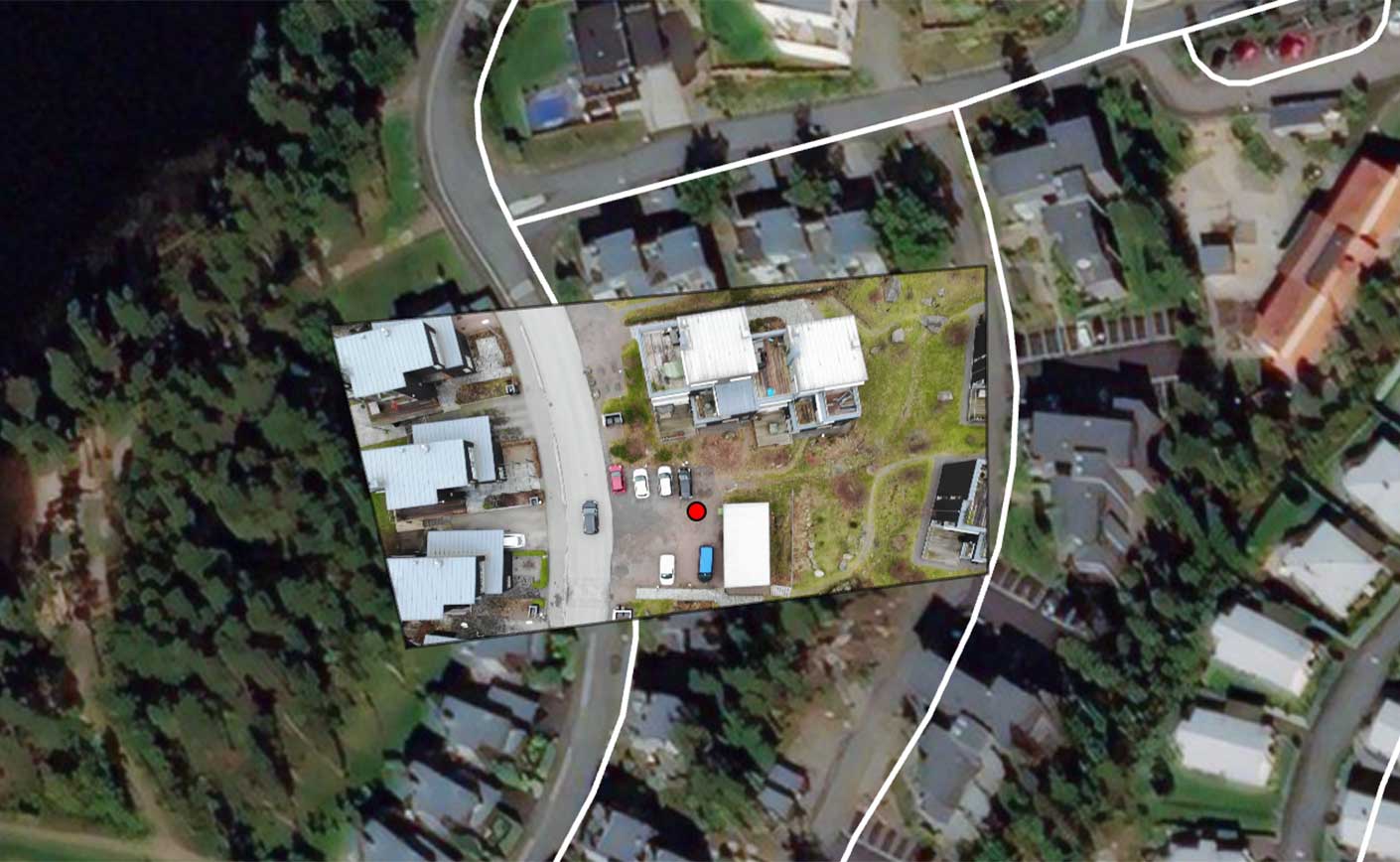
- Instantly create full motion video overlays by georeferencing video streams on the fly.
The extensibility of Carmenta Engine gives you the freedom to create custom data readers for specific needs such as proprietary formats.
Develop More in Less Time
Leveraging an SDK does not only accelerate the development process and cut costs, it also increases application robustness and reliability.

