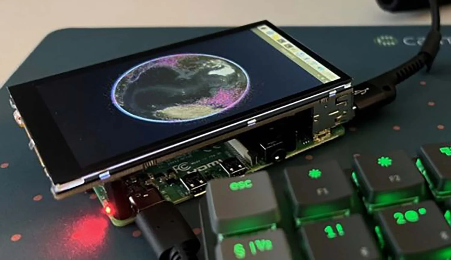
High-Performance Rendering
Create stunning 2D and 3D maps. Fast.
Besides mission-critical reliability, Carmenta Engine is built for speed. Its advanced hardware accelerated rendering and data processing capabilities let you create stunning, responsive maps in no time.
- Anti-aliased drawing of vector objects, semi-transparency and smoothing of raster data.
- No flickering, even with lots of moving objects, thanks to sophisticated buffering technology.
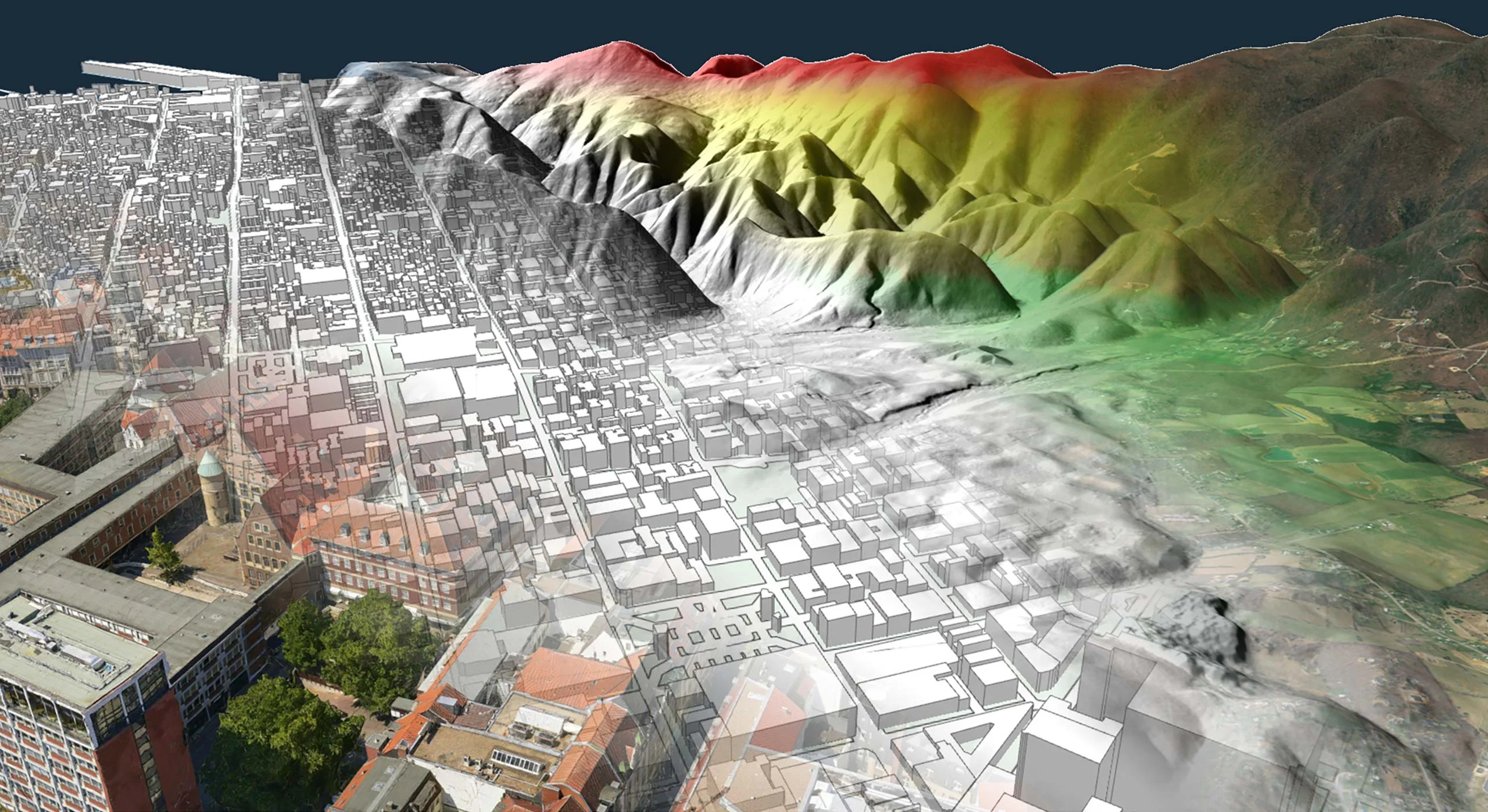
- Create realistic or abstract 3D views on the fly – no manual 3D editing required.
- Easily assemble and rearrange map configuration files using Carmenta Studio.
- Optimized to unleash the full potential of multi-core CPUs.
- Parallel and asynchronous data processing keeps the user interface responsive.
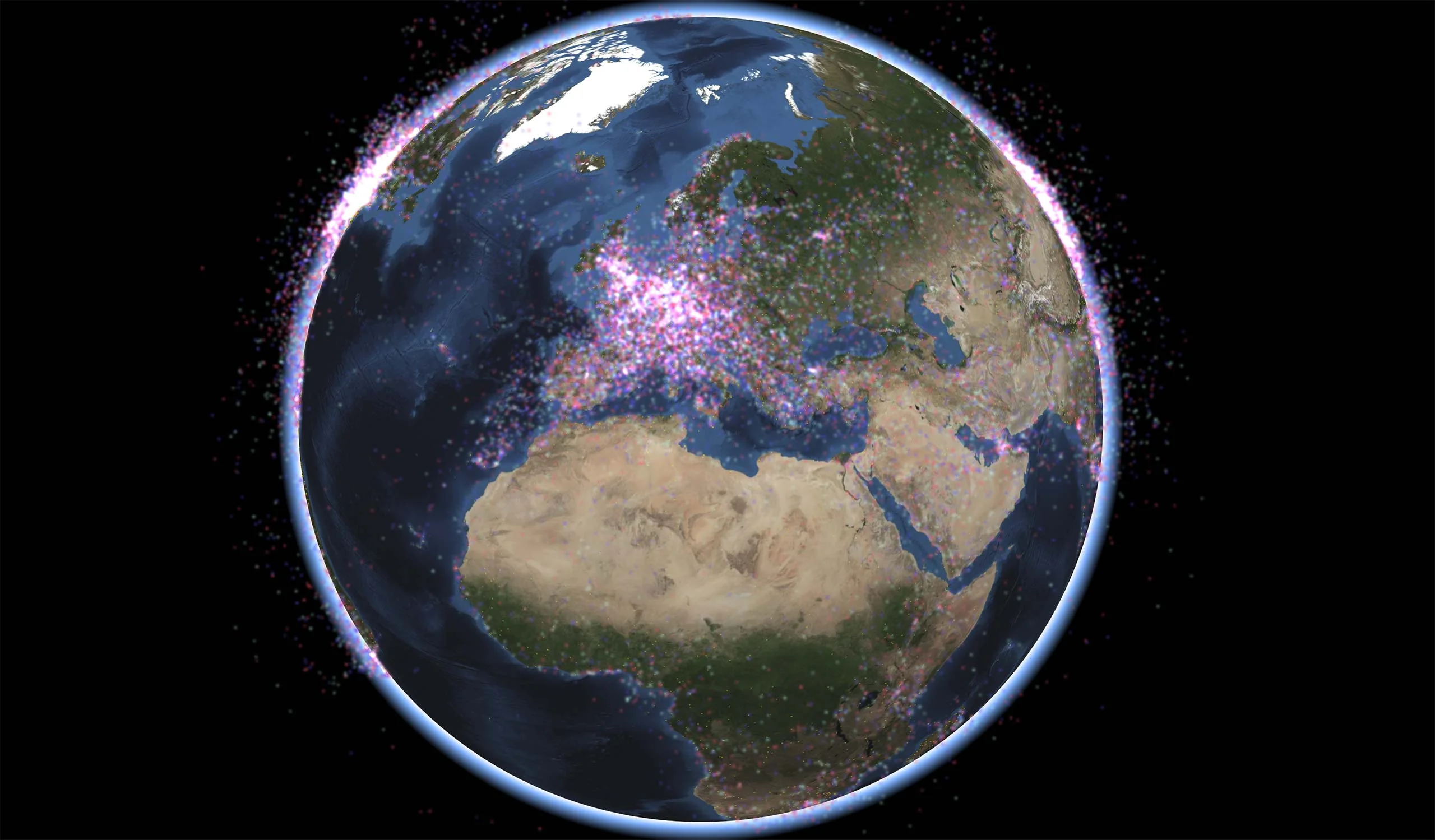
Hardware Accelerated Rendering of Extremely Dynamic Objects
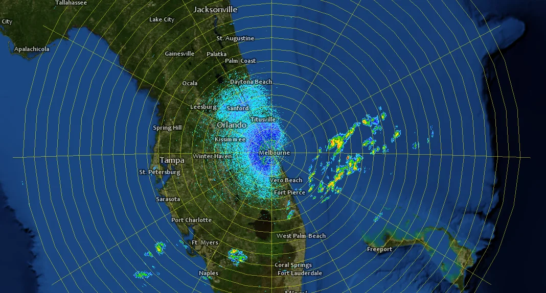
Mission-critical systems often need to handle real-time data streams from external sensors. Handling such data streams can be challenging, especially when it comes to keeping the map display up-to-date with the rapidly changing information. Thanks to a highly optimized, GPU accelerated rendering pipeline, Carmenta Engine can handle millions of continuously moving objects, without slowing down the system.
Plots can be overlayed on any Carmenta Engine map – benefit from the support for 100+ data formats and high fidelity rendering to create a highly usable map display.
- GPU accelerated rendering pipeline (OpenGL or DirectX) can handle millions of continuously updated plots.
- Optimized API (available for C++, .NET, and Java) allows the application to handle plots in batches to minimize overhead.
- Plots can be rendered either as colored dots or using external symbol files.
- The plot opacity can be dynamically updated. This makes it easy to for example smoothly fade out old plots.
- Extension for efficient rendering of radar plots and other extremely dynamic information.
- Easily handles millions of continuously updating plots.
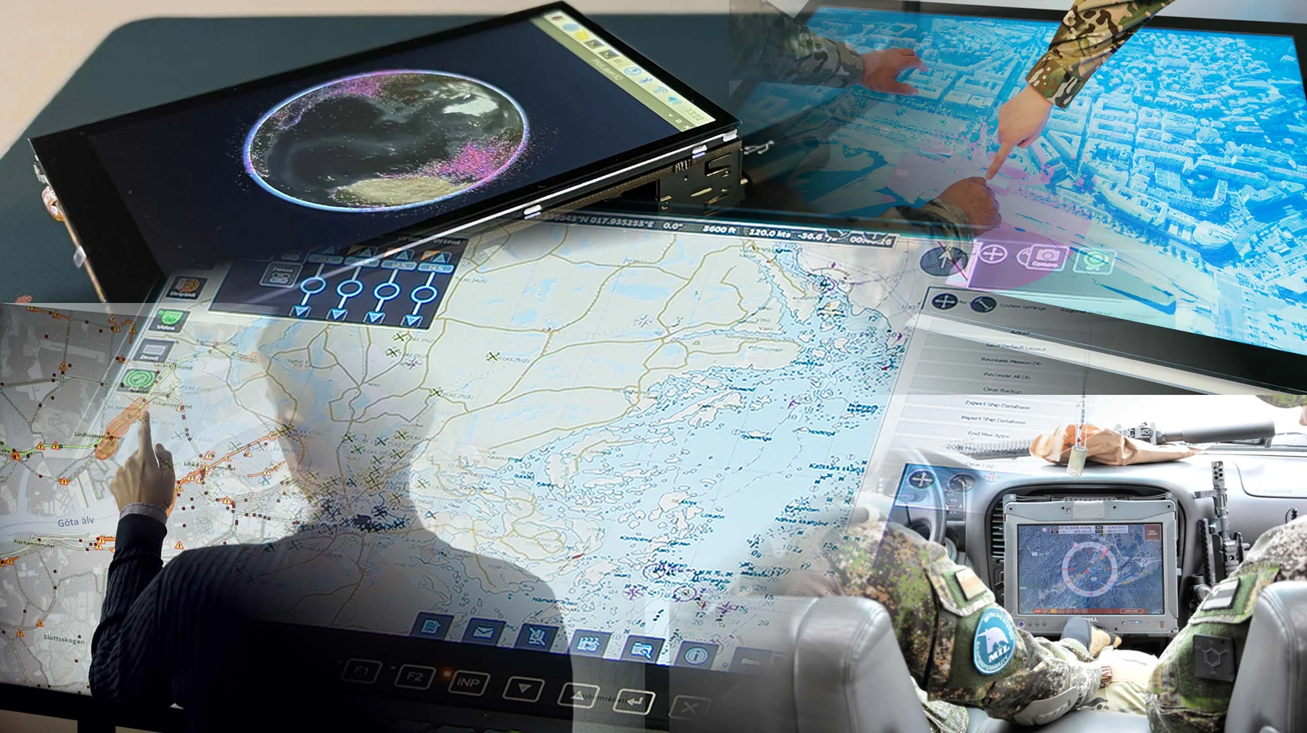
Develop More in Less Time
Leveraging an SDK does not only accelerate the development process and cut costs, it also increases application robustness and reliability.
Related Features
Geospatial Data from Any Source
Interoperability
Cross-Platform Development
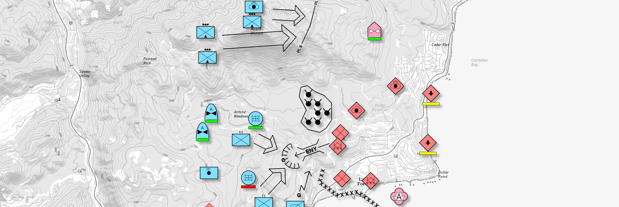
Military Tactical Overlays
Georeferenced Video

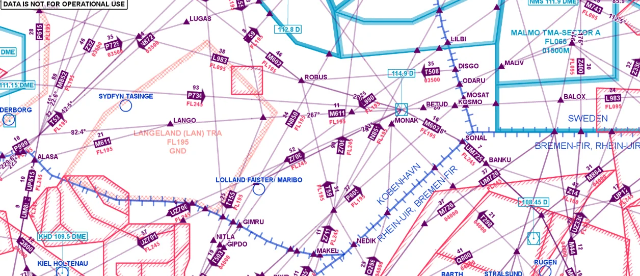
Aeronautical Charts
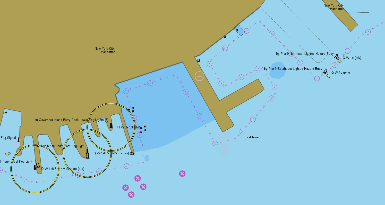
Nautical Charts
Meteorological Data

Terrain Vehicle Mobility
Tactical Drone Routing
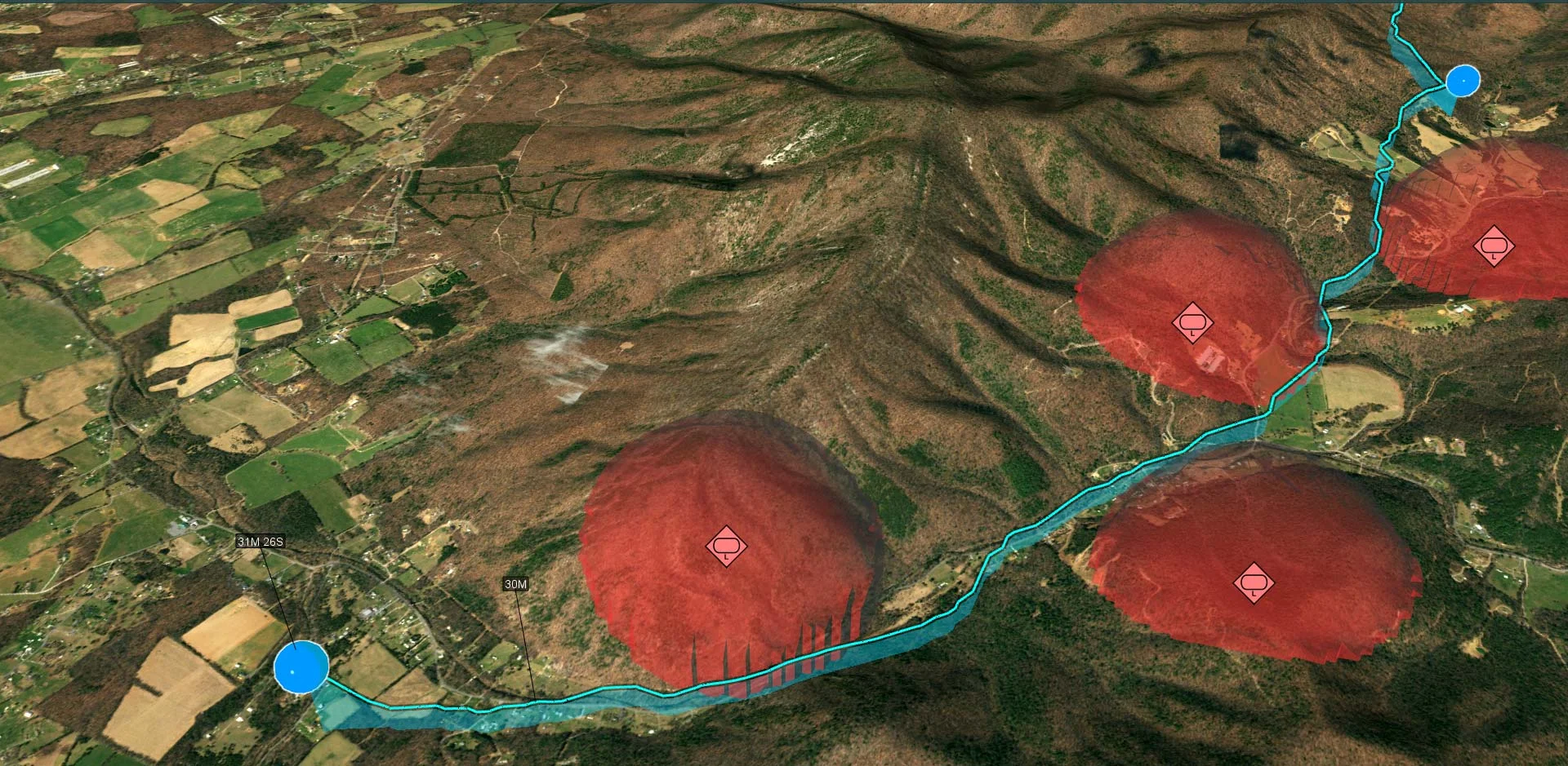
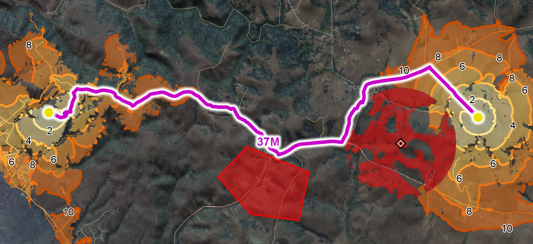
Terrain Analysis
Visibility Analysis
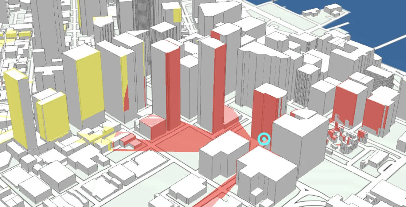
Radar Data