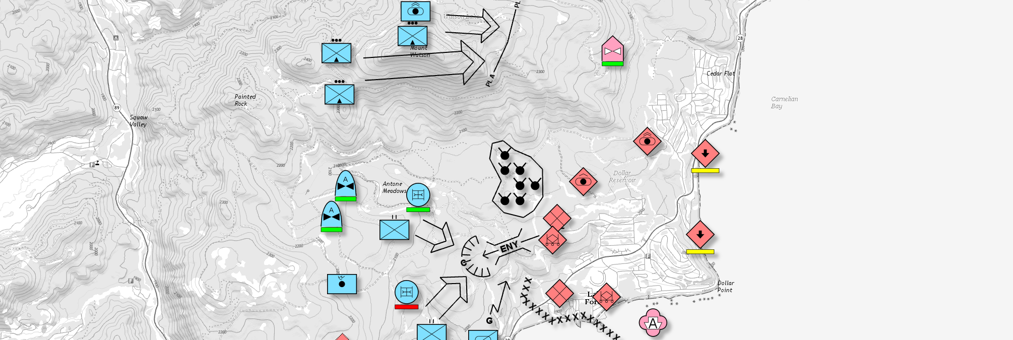
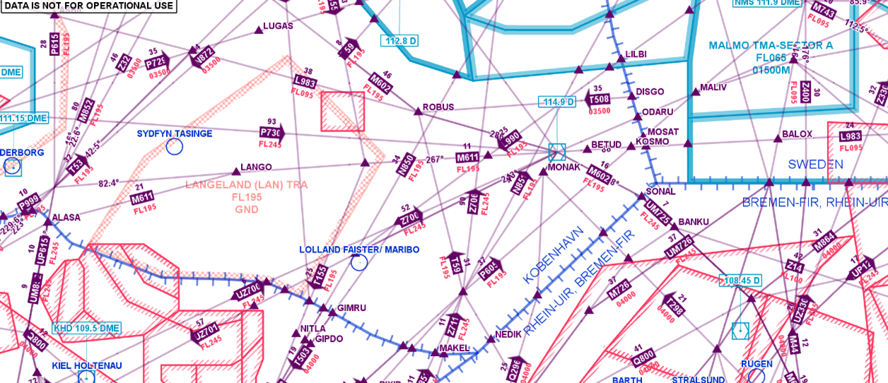
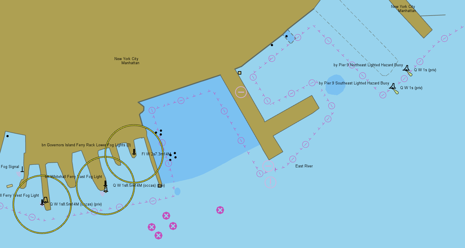
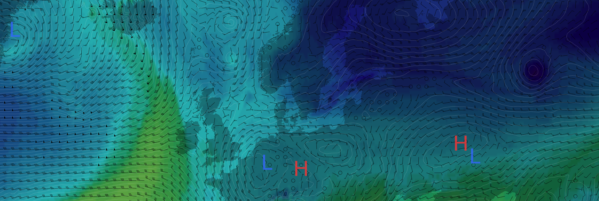
Geospatial Data from Any Source
Efficient use of terrain and obstacle data sources is a key feature in many aeronautical applications. Our long history of supporting such systems has allowed us to create a comprehensive toolbox for all terrain analysis needs.
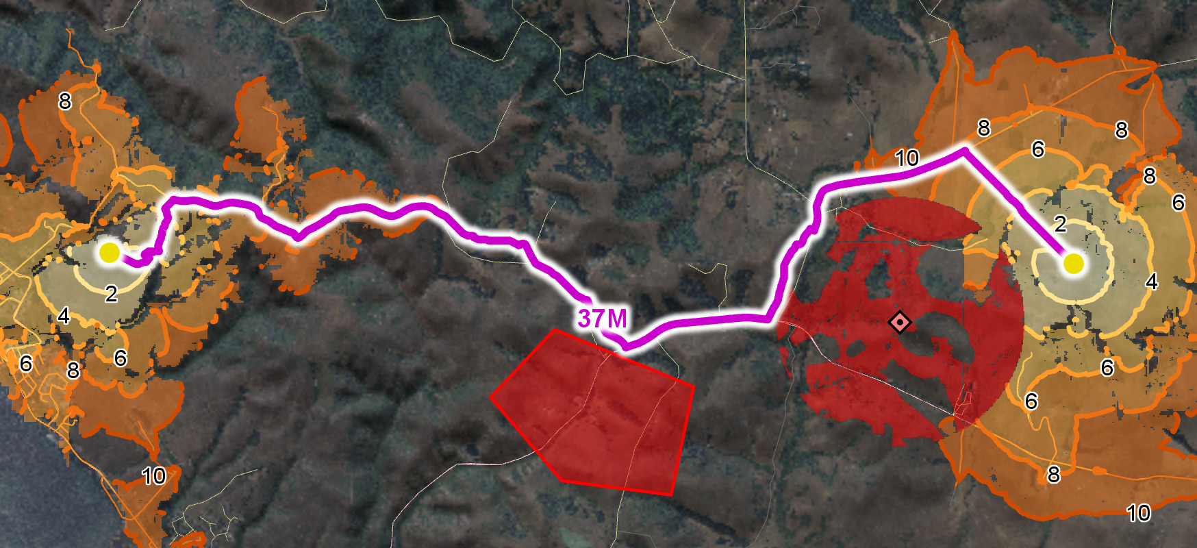
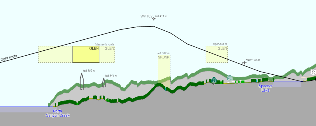
Carmenta technology provides highly configurable functionality to calculate the terrain and obstacle clearance along flight routes. The flight route and its corridor can both be dynamically updated, and the clearance calculated on-the-fly using the new route.
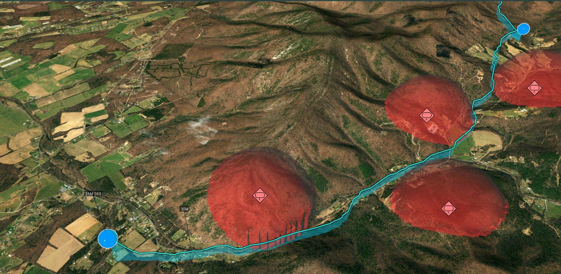
A regular 2D map gives a good overview of a situation and powerful options for route planning, but it is often more difficult to understand the terrain profile that the route will follow and the obstacles that will be encountered. Access to a vertical view of a defined route is a key feature in many aeronautical applications, as well as in mission planning and battle management systems for ground vehicles.
Carmenta’s technology helps operators ensure that the route does not encounter restricted airspace and that slopes are not too steep.
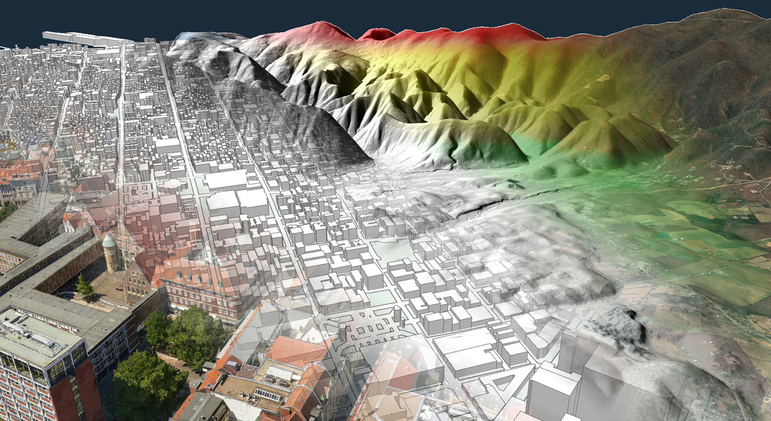
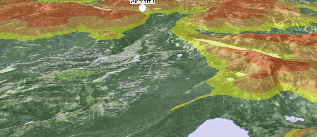
This hardware accelerated functionality allows you to apply a color-coded terrain awareness visualization to both 2D maps and 3D environments.
The functionality continuously evaluates the altitude difference between a flying aircraft and the ground within a specified radius around the aircraft. Using the calculated altitudes, a fully configurable color overlay is applied directly to the map views, making it a must-have feature for any system that tracks live aircraft, such as UAV ground control stations.
Leveraging an SDK does not only accelerate the development process and cut costs, it also increases application robustness and reliability.