carmenta_engine_hero

Carmenta Engine

A high-performance, reliable solution for maps in mission-critical systems

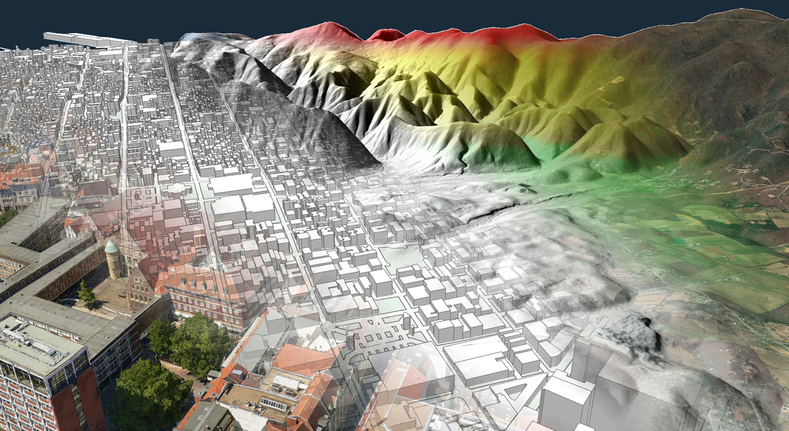
Carmenta Engine is a Software Development Kit that allows you to develop high-performance, interactive 2D and 3D geospatial applications on Windows, Linux and Android. It’s fast, scalable and totally reliable. You can access geospatial data in a range of different formats, and easily include dynamic information such as sensor data in maps. Simply put, it’s your solution for next-level situational awareness.

Request a trial

An SDK designed around you

The Carmenta Engine Software Development Kit (SDK) gives you efficient, easy-to-use, modern tools that enable you to develop more in less time.

Carmenta_April_1240_Engine_Lowres

One SDK. Multiple platforms.

Carmenta Engine is a cross-platform SDK, so you can run it on the platform of your choice – Windows, Linux or Android – and always get the same high performance. This means you never have to worry about losing functionality when switching from one platform to another.

Advanced functionalities

Extensions to take you further

One of the keys to Carmenta Engine's power is its extensibility. From sophisticated analysis packages to additional geodata formats and advanced visualisation features, our extensions will help you discover the built-in potential of this SDK.

Explore all our extensions

It speaks your language

Carmenta Engine is designed to support your way of working. Built with an optimised C++ core, it lets you choose the programming language and graphical user interface that best suits your project and development style.

  • Create applications using native C++, .NET, Java and Python APIs.
  • Choose from a wide range of GUI toolkits, e.g. .NET MAUI, WPF, Windows Forms, Qt, Qt Quick and Xamarin.
  • Use .NET, Java or C++ to run the same code on Windows, Linux and Android.

Create stunning 2D and 3D maps. Fast.

Besides mission-critical reliability, Carmenta Engine was built for speed. Its advanced hardware accelerated rendering and data processing capabilities let you create stunning maps in no time. And the powerful visual editor Carmenta Studio (included in the SDK) makes building and editing maps as easy as dragging and dropping objects into a map configuration. You also have the freedom to create custom visualisers for specific needs.

  • Anti-aliased drawing of vector objects, semi-transparency and smoothing of raster data
  • No flickering, even with lots of moving objects, thanks to sophisticated buffering technology.
  • Create realistic or abstract 3D views on the fly – no manual 3D editing required
  • Easily assemble and rearrange map configuration files using Carmenta Studio
  • Optimised to unleash the full potential of multicore CPUs
  • Parallel and asynchronous data processing keeps the user interface responsive

Support for all kinds of formats

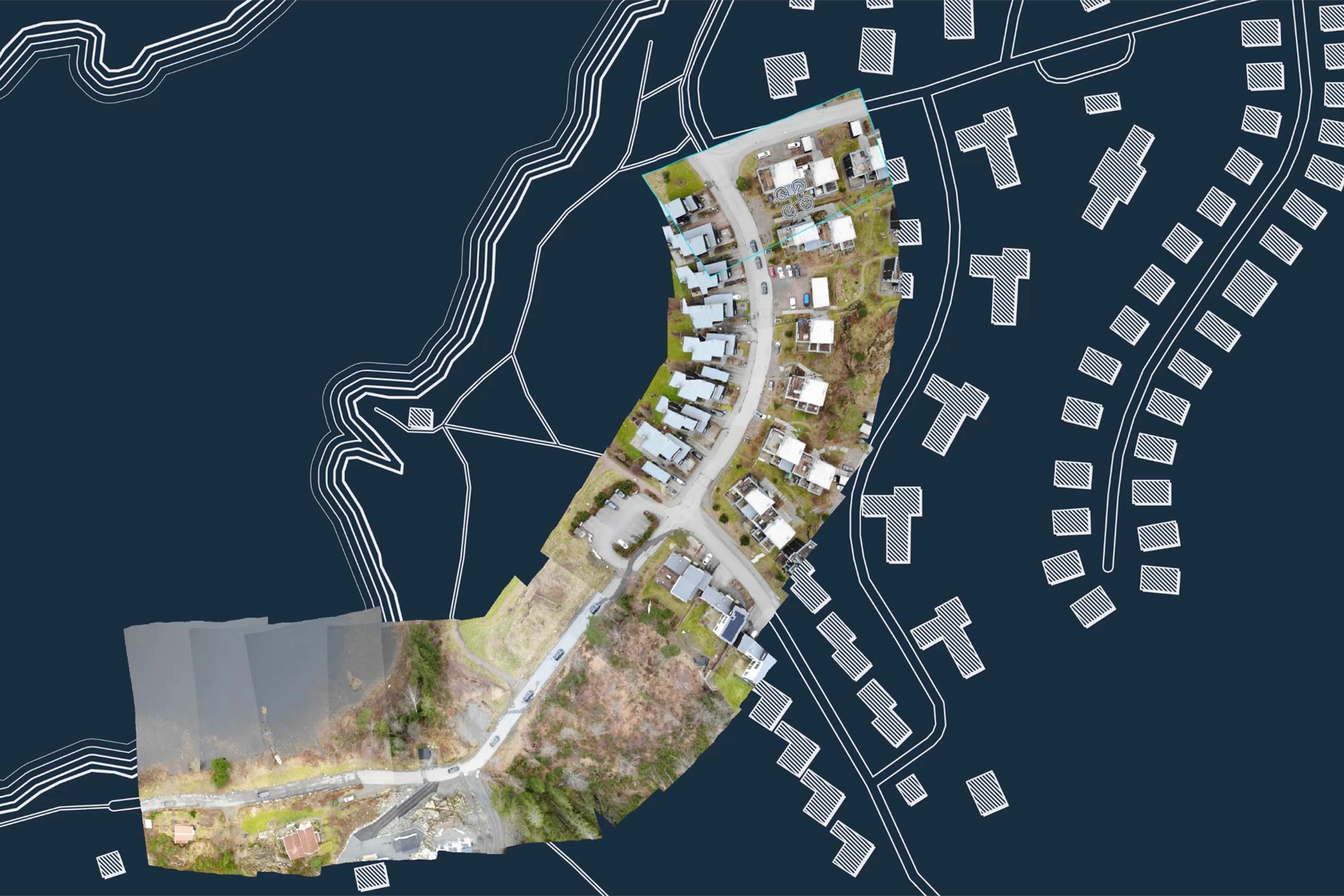
Carmenta Engine offers endless possibilities for combining different types of data. It can read many different raster and vector formats. And, by creating custom datasets, you can read any static and dynamic data. It’s even possible to instantly create full motion video overlays by georeferencing video streams on the fly.

  • Connect directly to many different file-based data sources, as well as geospatial databases.
  • Read geographical data directly from more than 100 formats.
  • Use data in original formats – no conversion needed.
  • Instantly create full motion video overlays by georeferencing video streams on the fly

Over 20 years in mission-critical systems

Carmenta Engine has been designed from the ground up to meet the demanding requirements of mission-critical applications. After more than 20 years of continuous service in defence, aeronautical and nautical systems, it has a proven record of round-the-clock reliability.

GT_1410x868

Real-time visualisation and analysis

Carmenta Engine excels at handling dynamic data. For example, you can perform real-time visualisations by overlaying dynamic data – such as live video streams and millions of radar plots – directly onto your maps. What's more, its real-time geospatial analysis functionalities, such as line-of-sight and terrain calculations, can be driven by dynamic data to ensure you get the most out of your geospatial data sources.

Make it your own

Because one size never fits all, Carmenta Engine lets you create your own custom operators and datasets to suit your specific needs.

Cloud optimised

Carmenta Engine is cloud optimised, so you can access your data wherever you like: locally or from a server in the cloud.

Request a trial

Interested in learning more about Carmenta Engine? Or ready to get started? Fill in the form below.


    This site is protected by reCAPTCHA and the Google Privacy Policy and Terms of Service apply.

    Contact one of our offices for a discussion of cooperation in the world of geospatial technologies

    Magnus Hagman

    SWEDEN

    Michael Ericsson

    SWEDEN

    Juliana Riska

    FRANCE

    Andreas Stiebner

    GERMANY

    Alexander Royle

    UNITED KINGDOM

    Per-Anders Hallqvist

    USA

    Magnus Hagman Vice President, Head of Sales & Marketing SWEDEN Phone +46 707 279 616 LinkedIn
    Magnus Hagman
    Michael Ericsson Senior Account Manager SWEDEN Phone +46 705 73 52 04 LinkedIn
    Michael_Ericsson
    Juliana Riska Account Manager FRANCE Phone +33 6 72 37 80 65 LinkedIn
    juri
    Andreas Stiebner Account Manager GERMANY Phone +49 162 271 88 91 LinkedIn
    andreasstiebner
    Alexander Royle Account Manager UNITED KINGDOM Phone +44 773 444 75 23 LinkedIn
    Alex Royle
    Per-Anders Hallqvist President & CEO USA Phone 703-383-4727 LinkedIn
    PAH