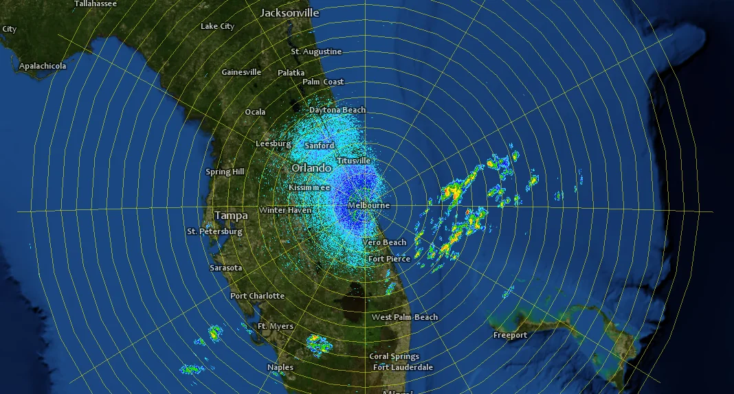
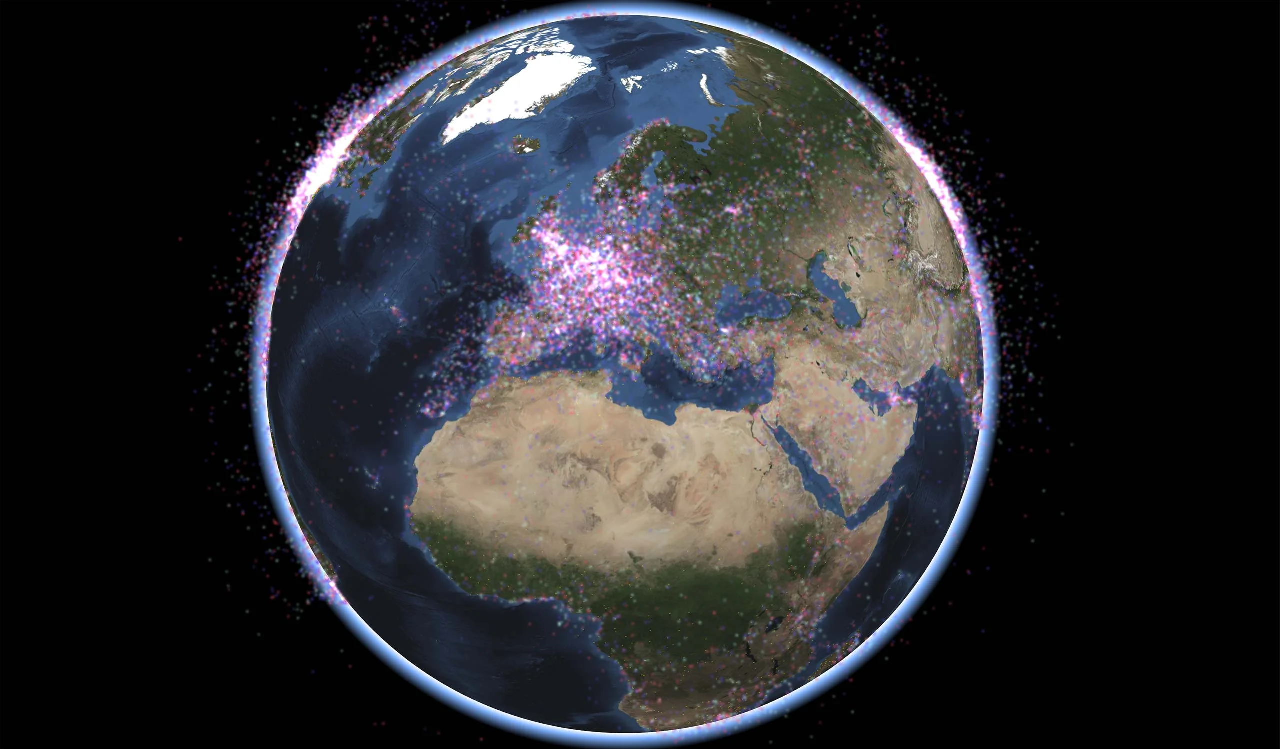
Meteorological Data

Instant Visualization of GRIB files
Up-to-date weather forecasts are essential for efficient operations in many scenarios.
Carmenta’s geospatial technology provides direct access to meteorological data in the GRIB 1 and GRIB 2 formats. The data can be used for direct visualization or as input to other geoprocessing operators, such as to avoid areas of low visibility.
Use Case
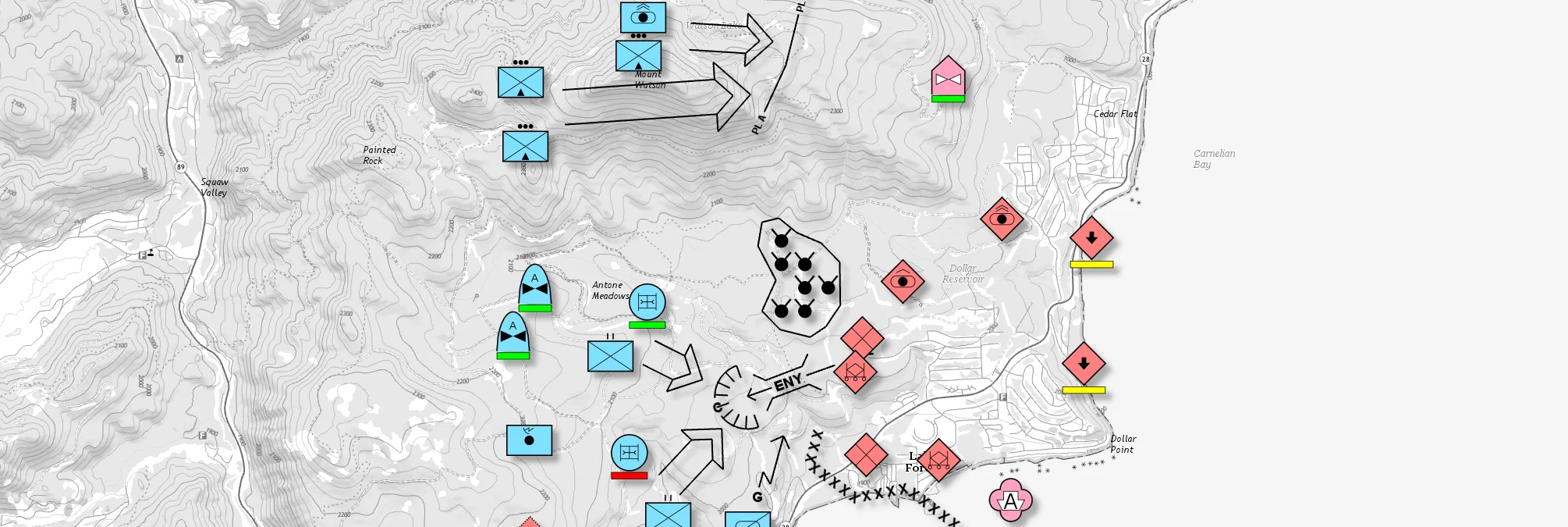
Ground Combat
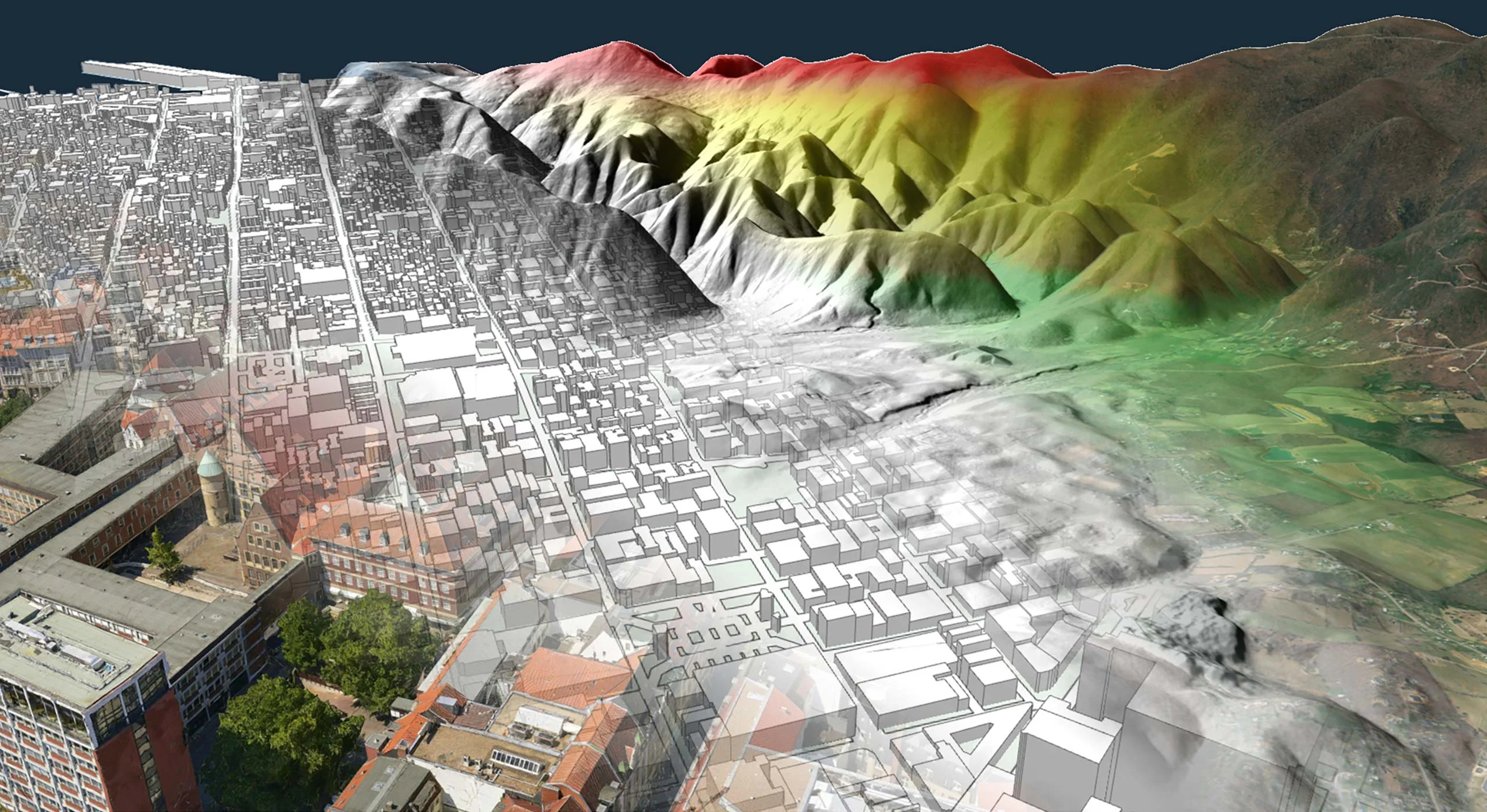
Geospatial software is a critical component in ground combat operations. It creates situational awareness and enables the armed forces to fulfill their mission efficiently. Carmenta technology enables the integration of forecasts to derive future ground conditions.
Use Case
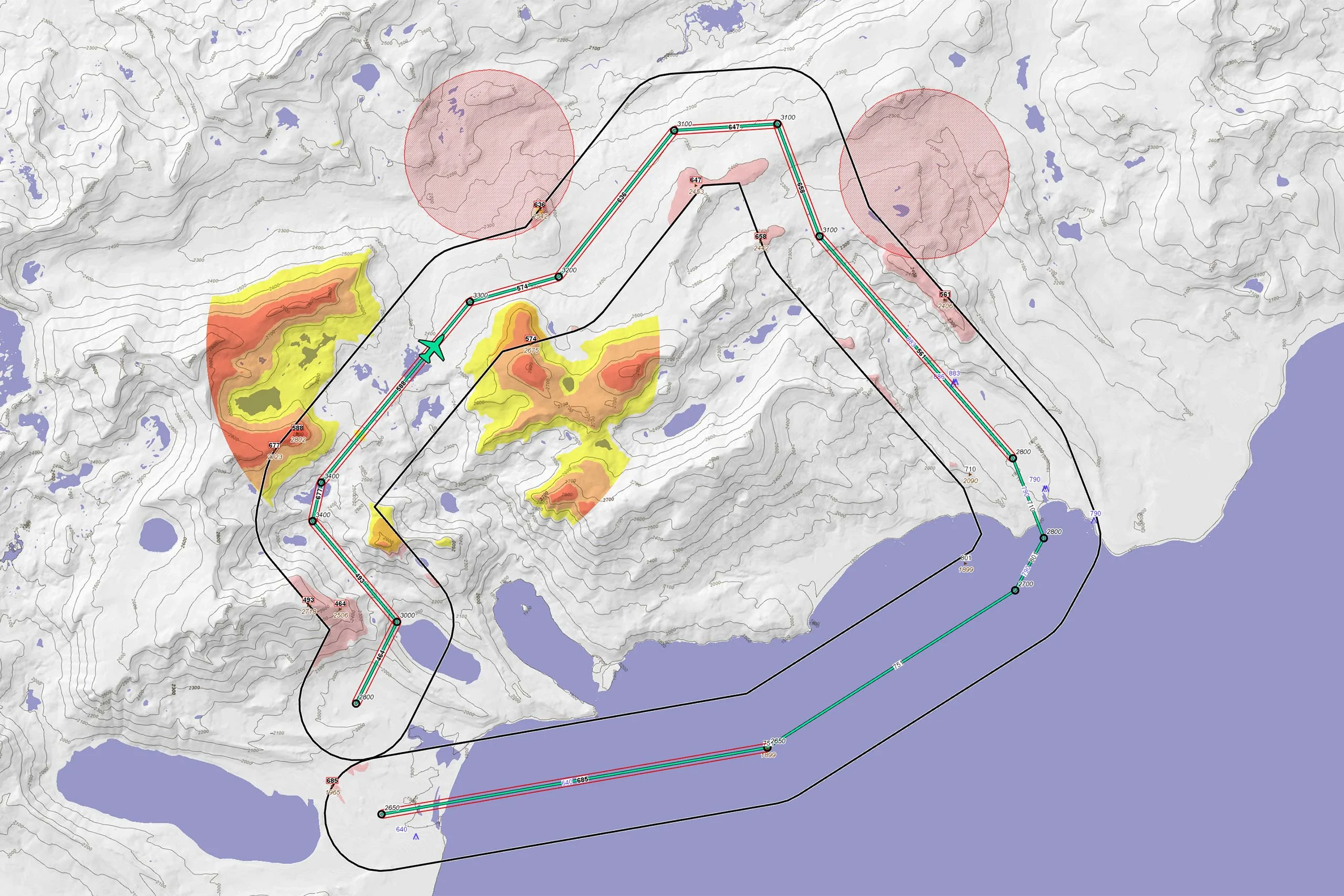
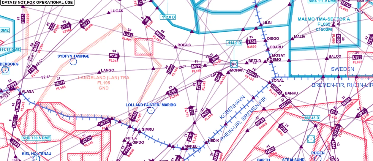
Aeronautical Missions
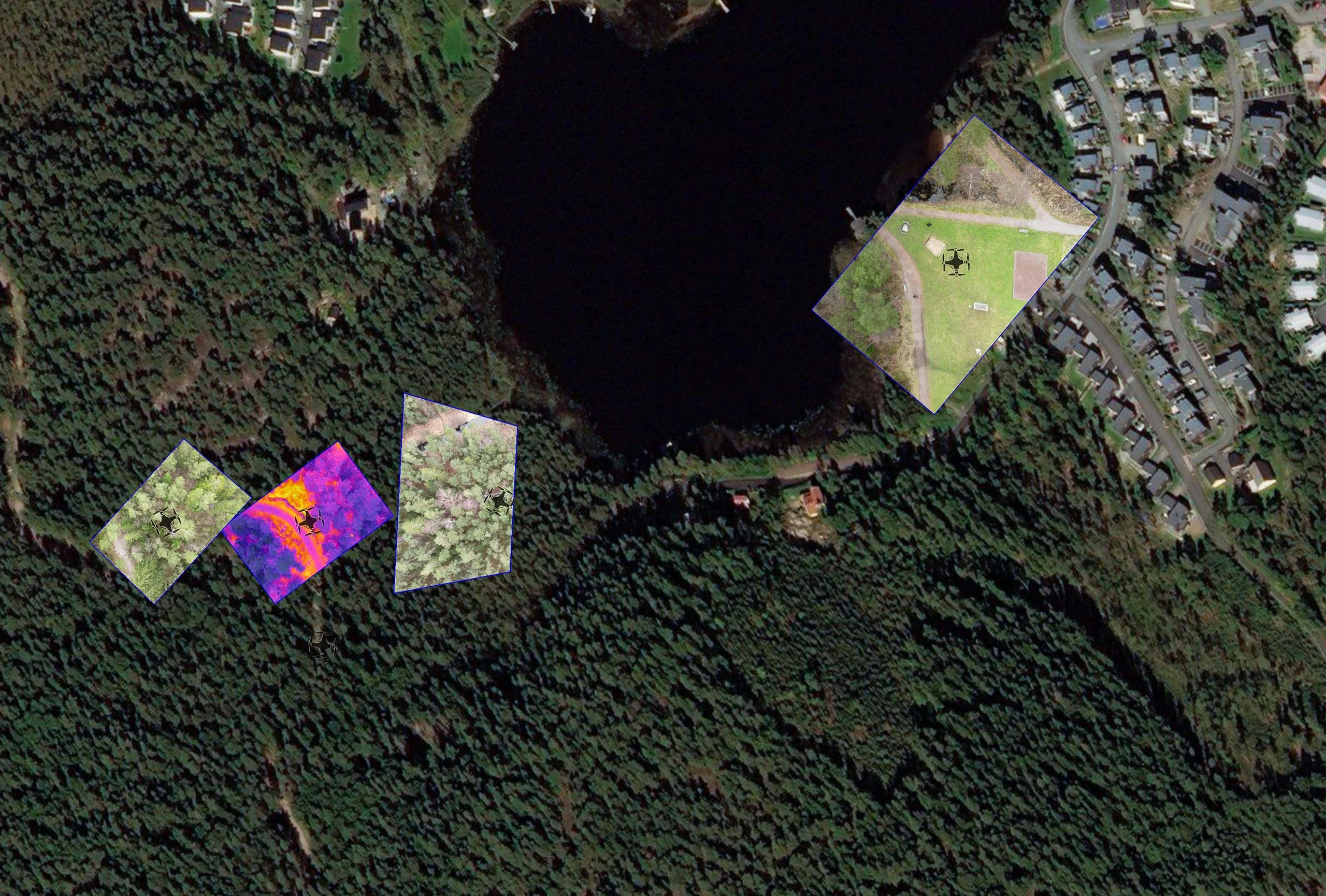
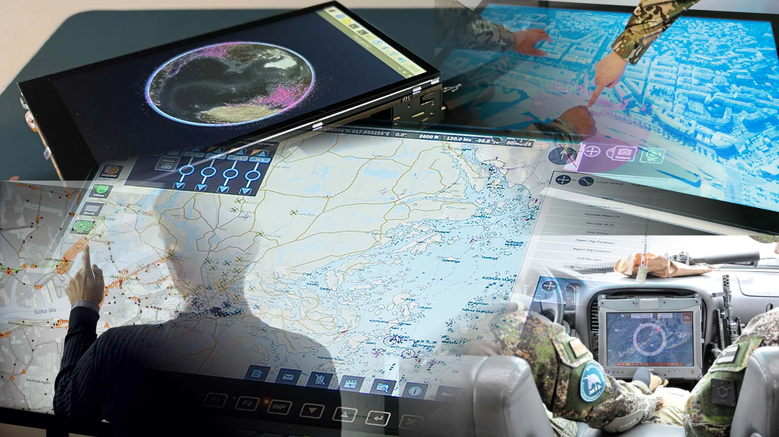
Executing an aeronautical mission demands a detailed understanding of the geospatial situation involved, which can vary dramatically depending on the operational environment. Meteorological data provides insights that enhance operational safety and efficiency.
Related Products: Carmenta Engine, Carmenta Server and Carmenta UAS Mission Kit
Carmenta Server
Carmenta UAS Mission Kit
Develop More in Less Time
Leveraging an SDK does not only accelerate the development process and cut costs, it also increases application robustness and reliability.
Related Features
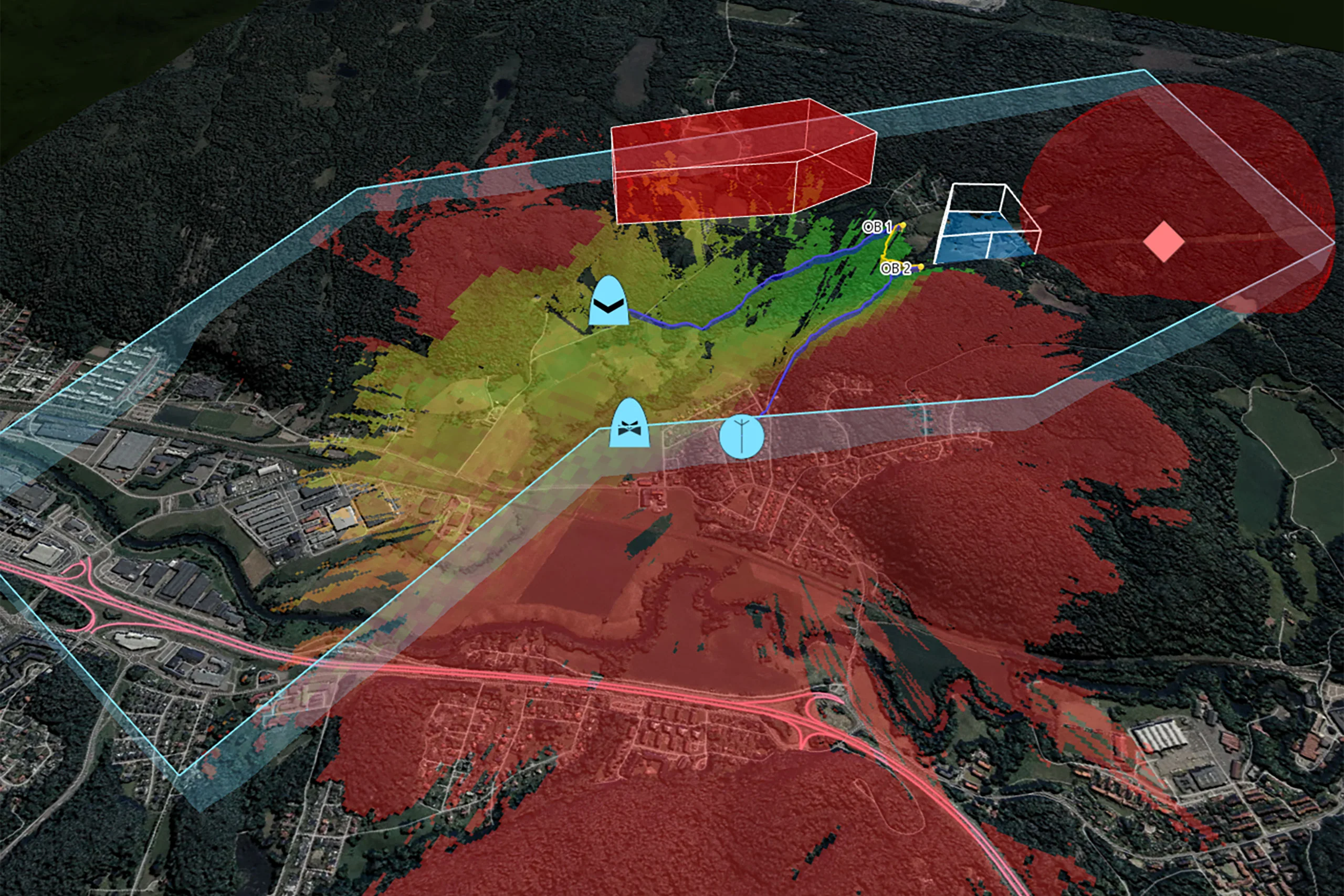
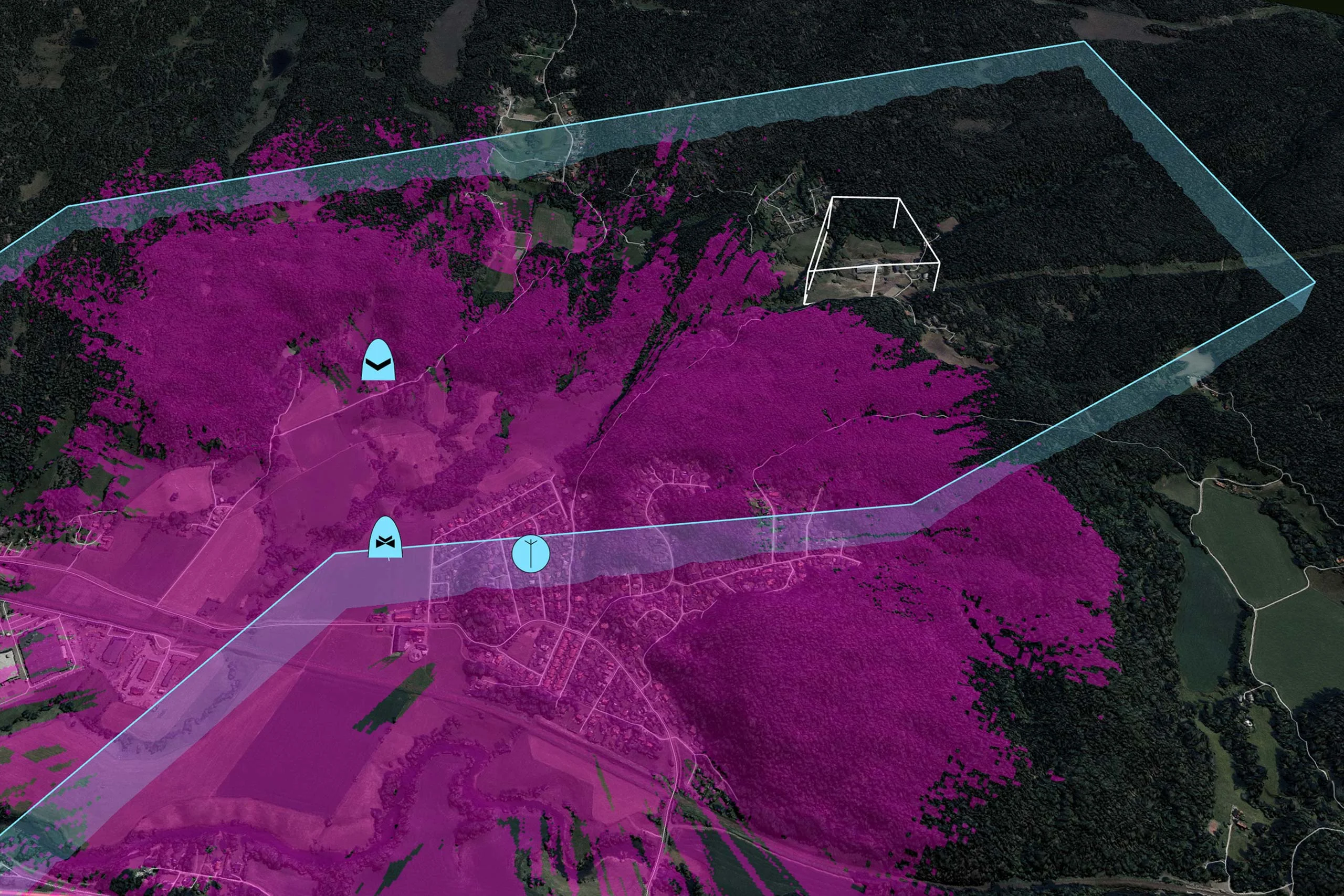
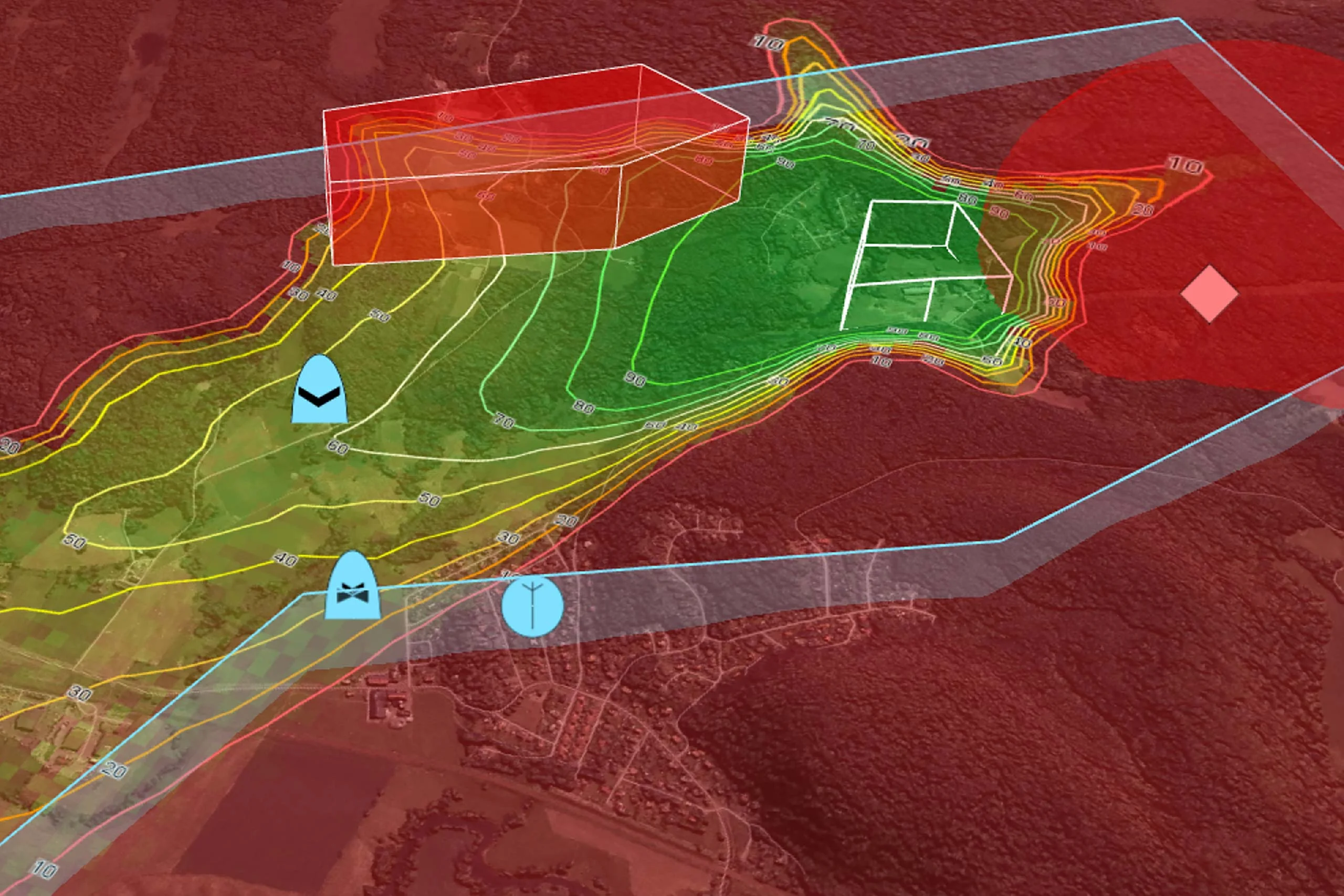
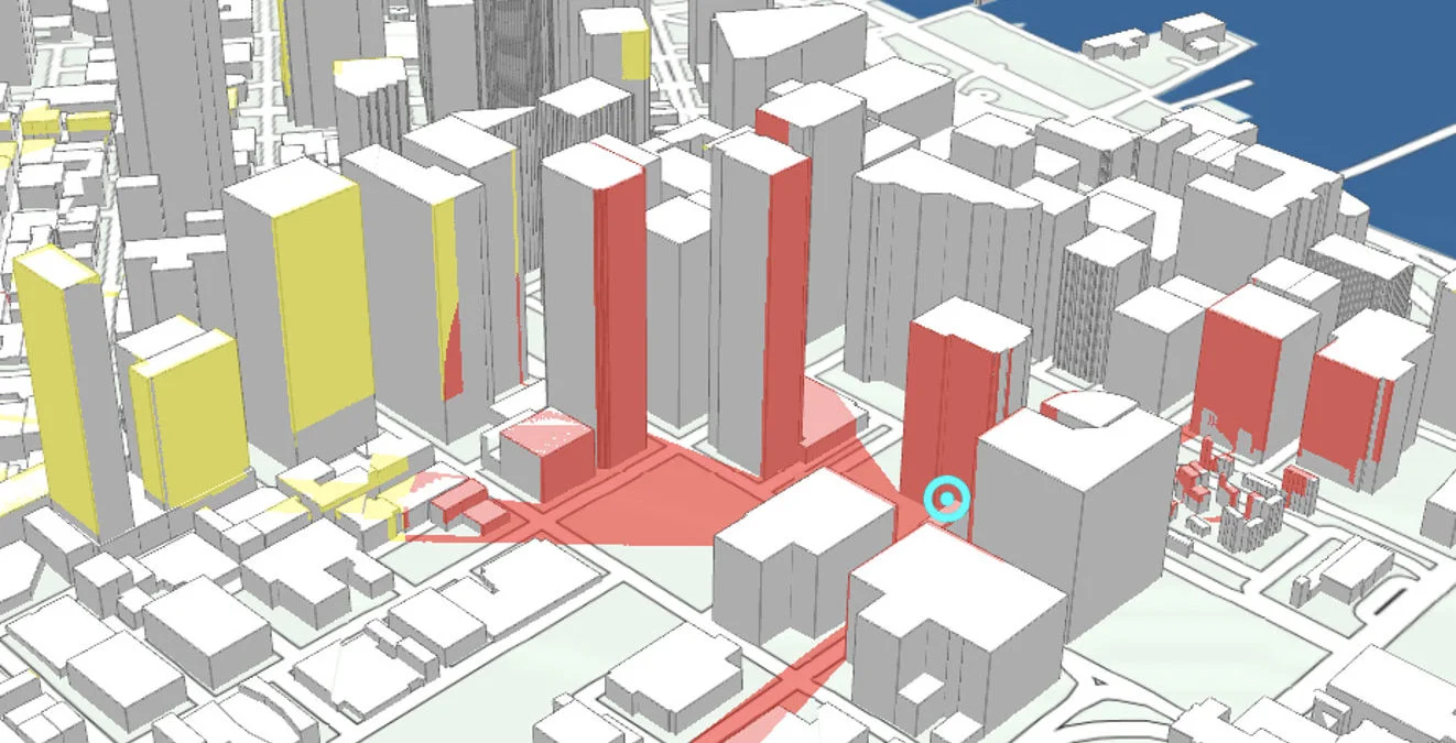
Radio Coverage
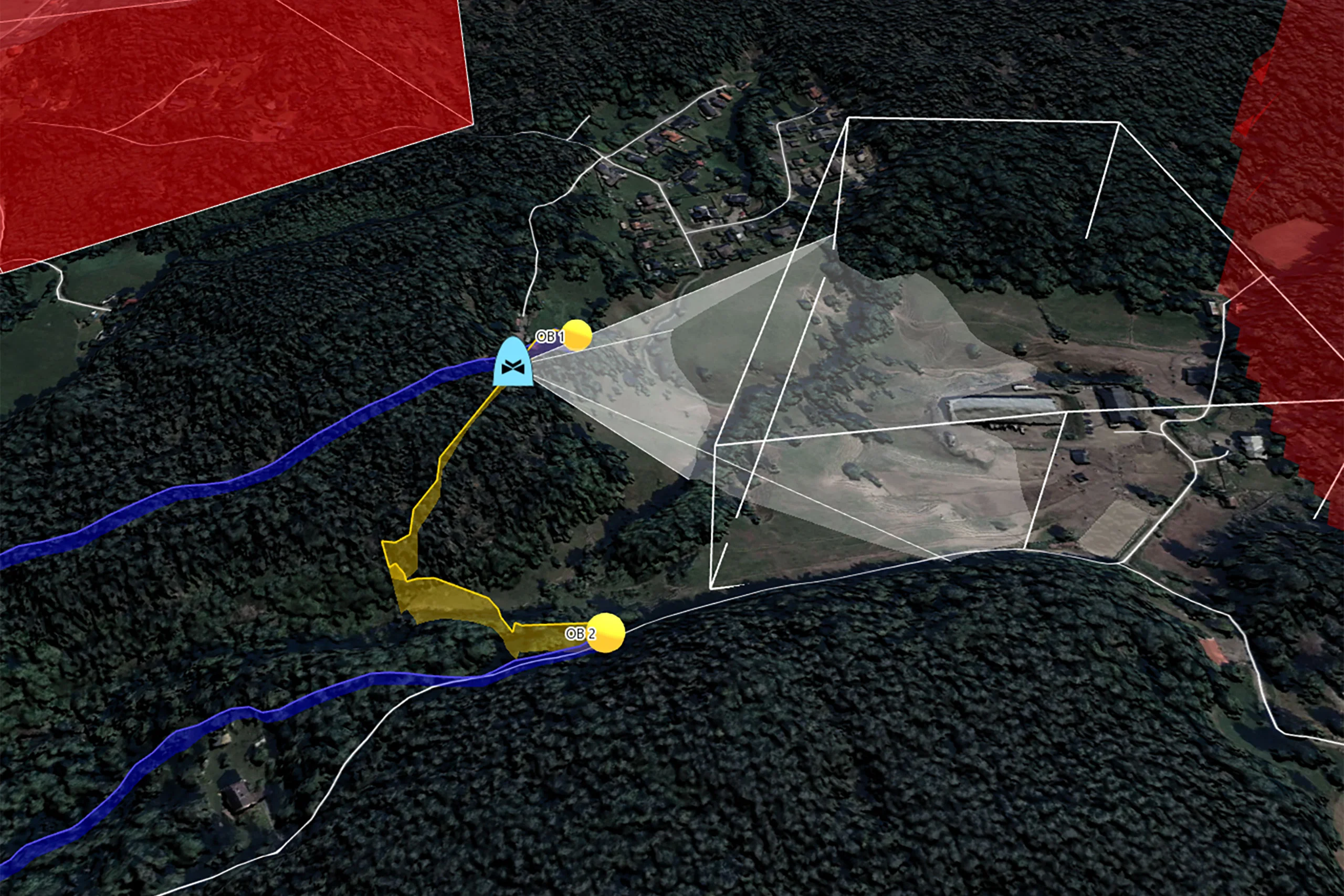
Placement of Observers
Landing Zones
Camera Focused Planning
Geospatial Data from Any Source
Interoperability
Cross-Platform Development
High-Performance Rendering
Military Tactical Overlays
Georeferenced Video

Aeronautical Charts
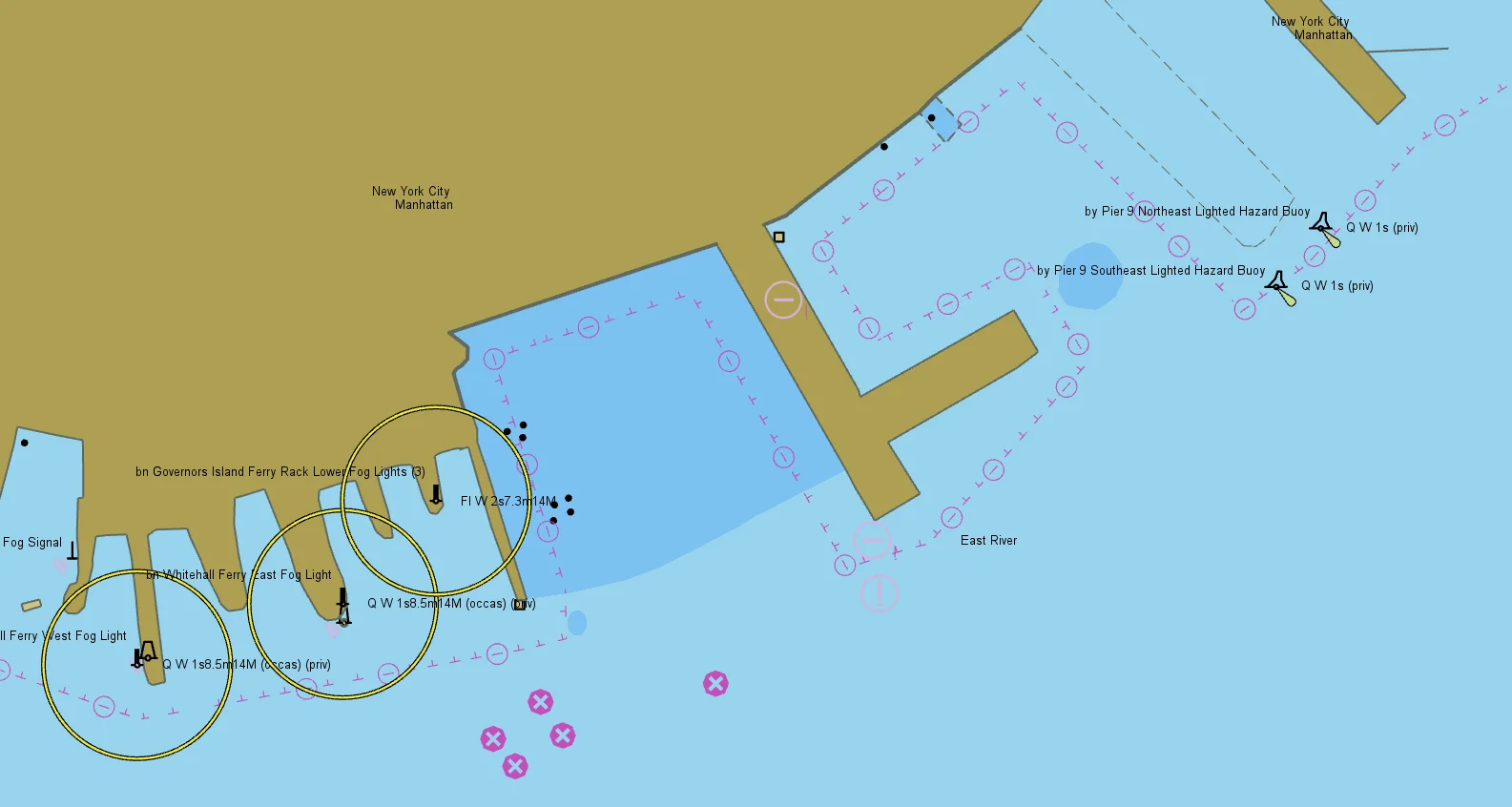
Nautical Charts
Terrain Vehicle Mobility
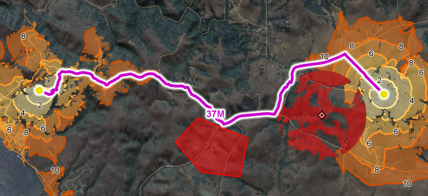
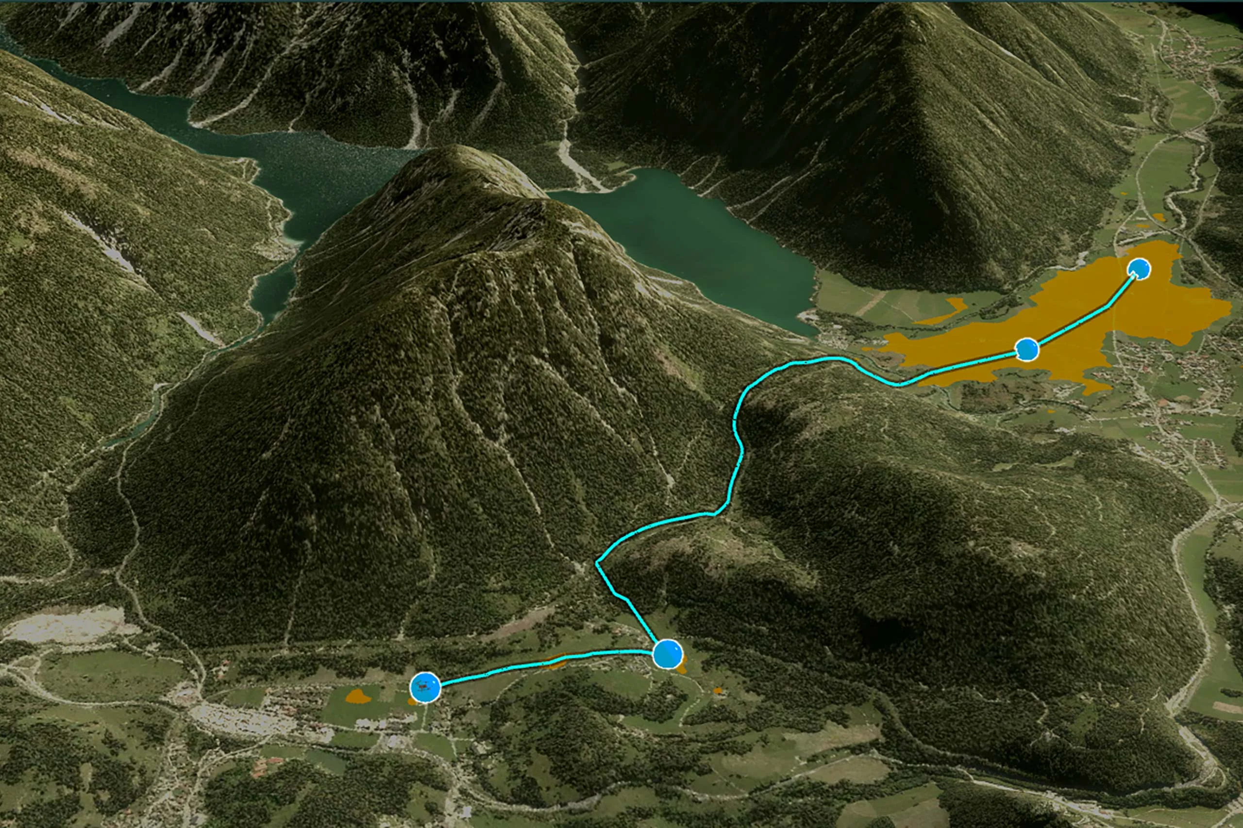
Tactical Drone Routing
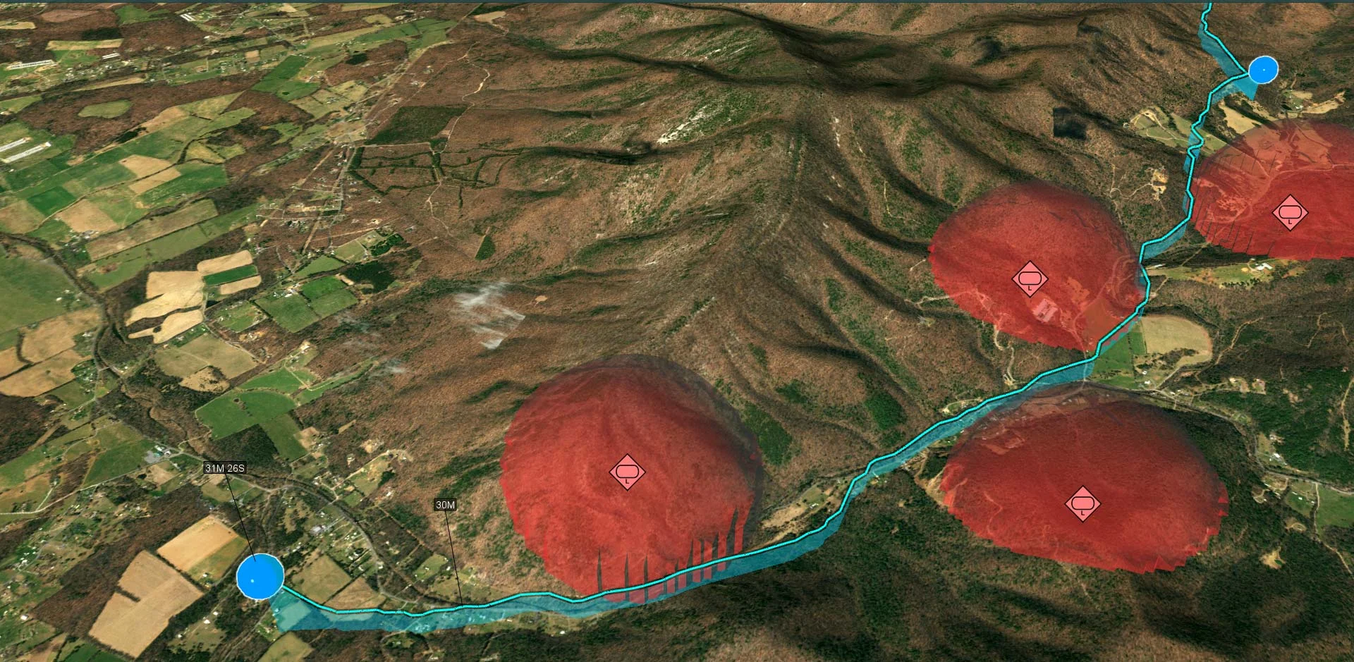
Terrain Analysis
Visibility Analysis
Radar Data