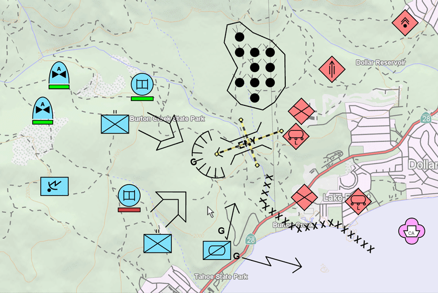
Military Tactical Overlays
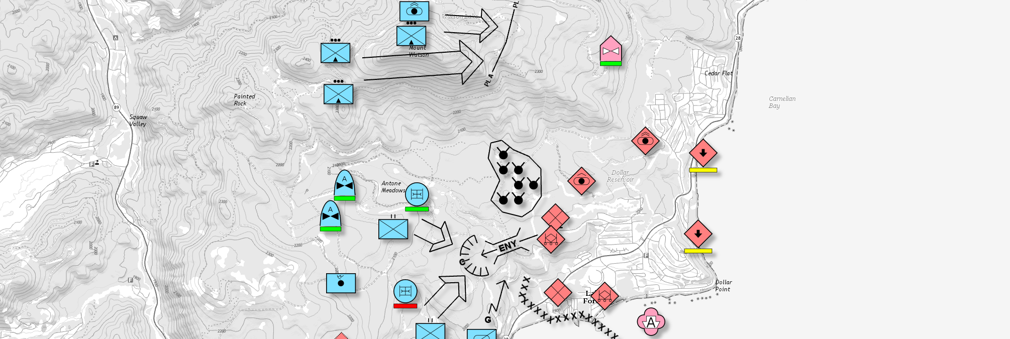
Powerful Support for Military Overlays
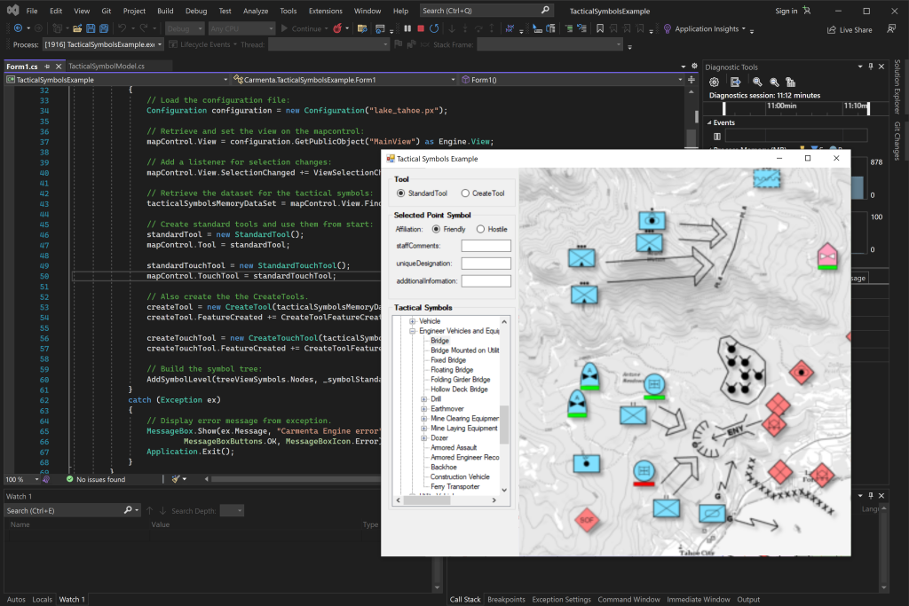
Carmenta’s geospatial technology supports tactical symbols and graphics in accordance with the MIL-STD-2525 and STANAG 2019 APP-6 standards, and contains a range of features that facilitate the development of C4ISR applications.
Data-driven Visualization
Our robust development tool is designed to address the complexities associated with integrating intricate military overlays within a Command and Control System. The data-driven visualization and comprehensive symbol management ensure that the presentation remains current at all times. It is straightforward to implement real-time situation displays that include advanced symbology.
- Ready-to-use implementation of the MIL-STD-2525B (change 1), MIL-STD-2525C, MIL-STD-2525D, and NATO STANDARDS APP-6B and APP-6D symbol standards.
- Supports MIL-STD-2525 Appendix A, B, D, and E.
- For APP-6B all point symbols in the 1.X hierarchy are supported.
- Provides an API for handling the full MIL-STD-2525 and APP-6 metadata. The metadata contains descriptions of the tactical symbols and can be used to create data-drive symbol editor dialogues.
- A group storage component which offers advanced support for hierarchical grouping of tactical symbols, with functionality for automatically generating convex hulls around groups. The convex hull polygon is calculated in real-time and works with moving objects.
Key Features
- Visualization parameters such as size, affiliation colors, transparency, halo, fill, and icon can be set individually per object or collectively per layer.
- Tactical symbol are specified using SIDC identifiers which makes it very easy and quick to define tactical objects.
- Supports dynamic moving and rotating 2D and 3D views.
- Easy-to-use APIs for .NET, Java, and C++.
- Support for hardware accelerated graphics and display of several thousands of moving tactical symbols, even on low-end rugged systems.
- Built-in support for creating and interacting with tactical symbols and and graphics.
Use Case
Ground Combat
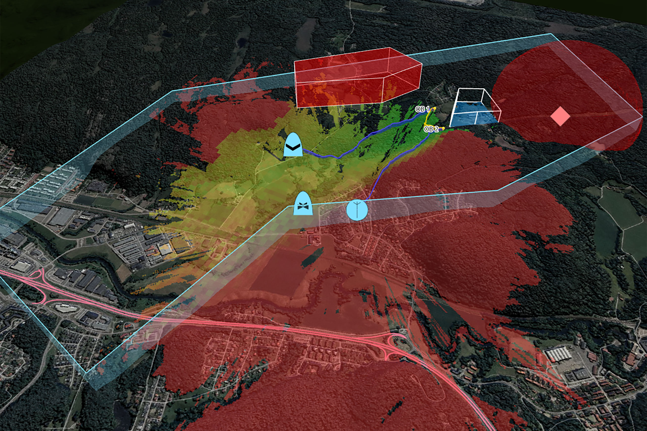
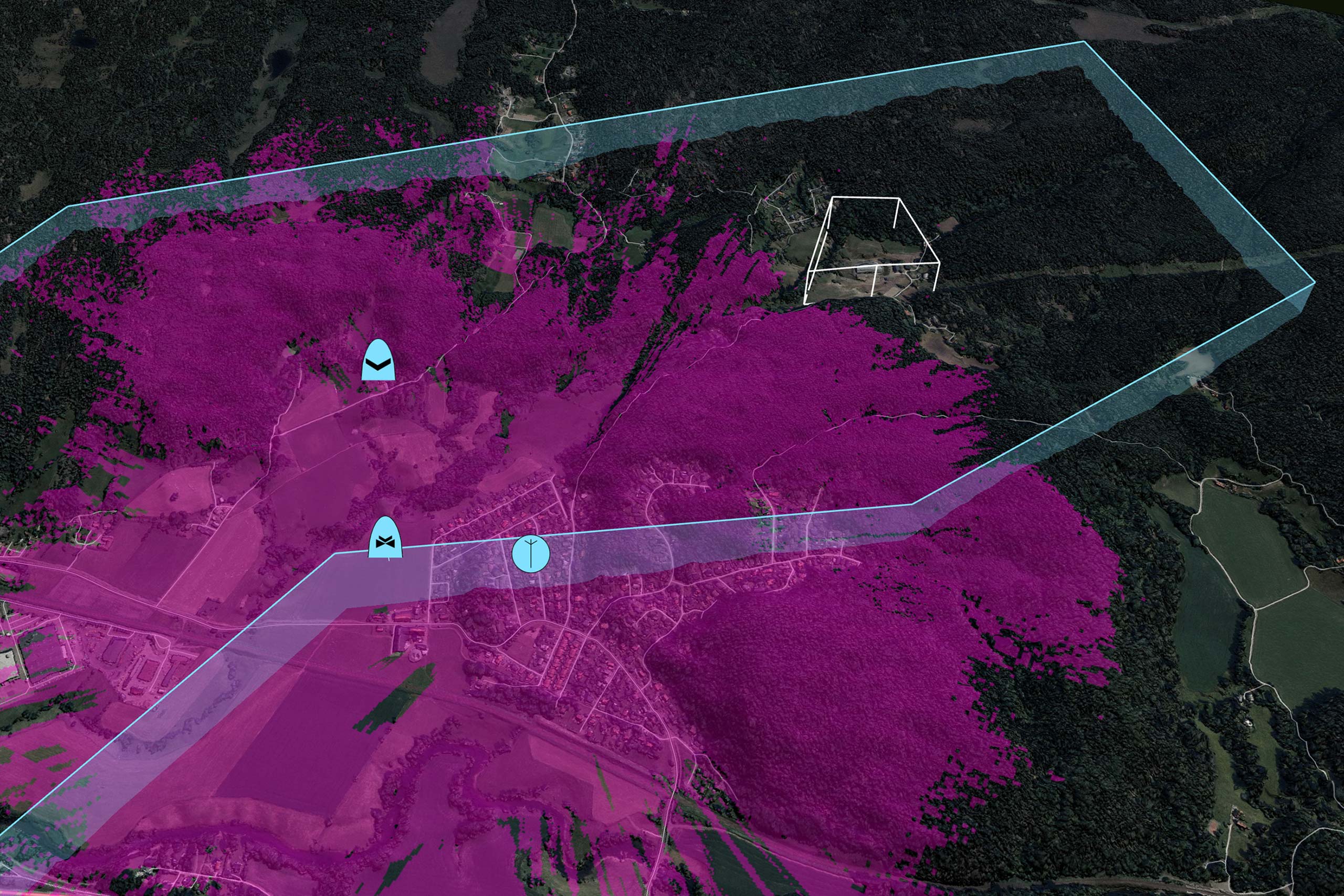
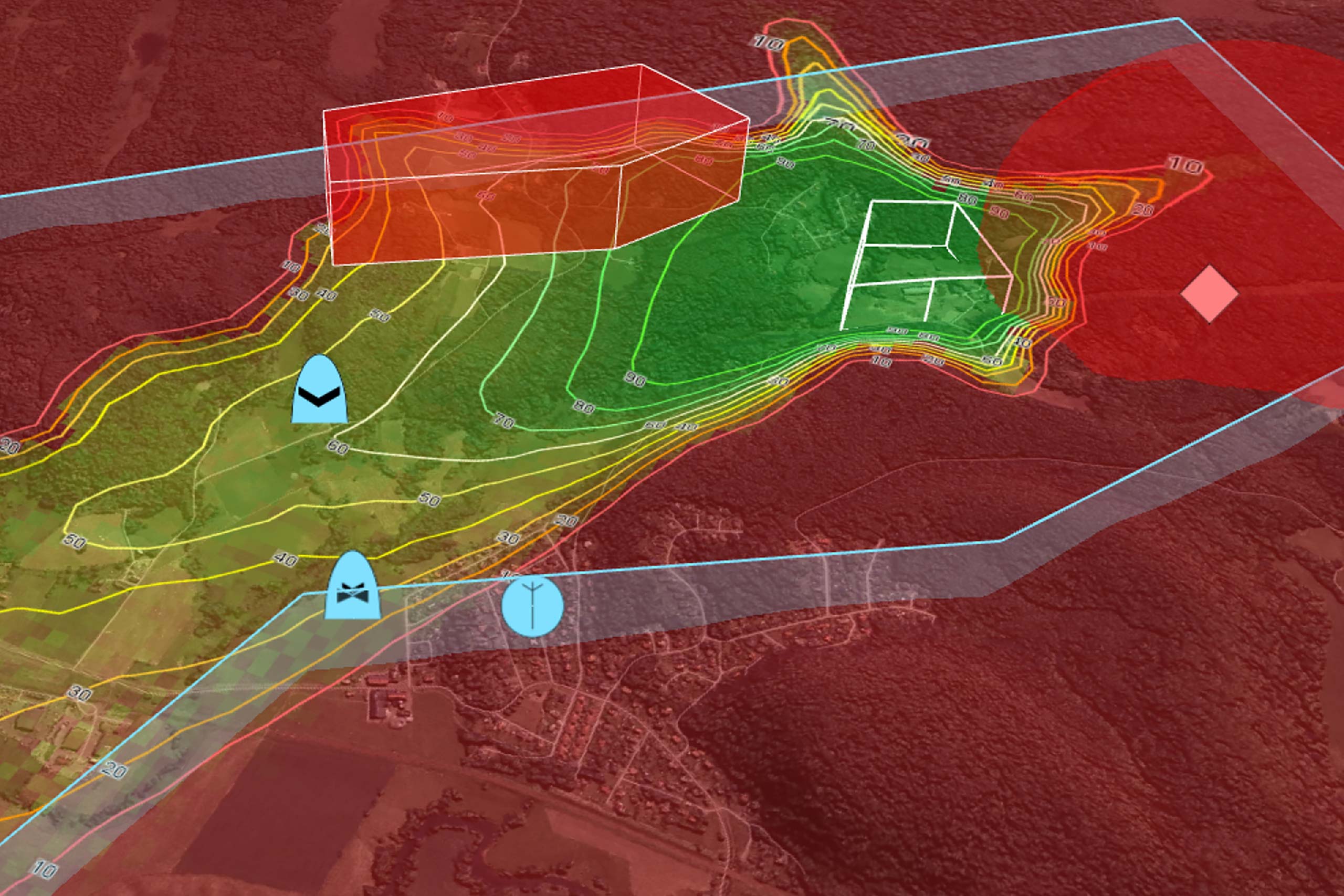
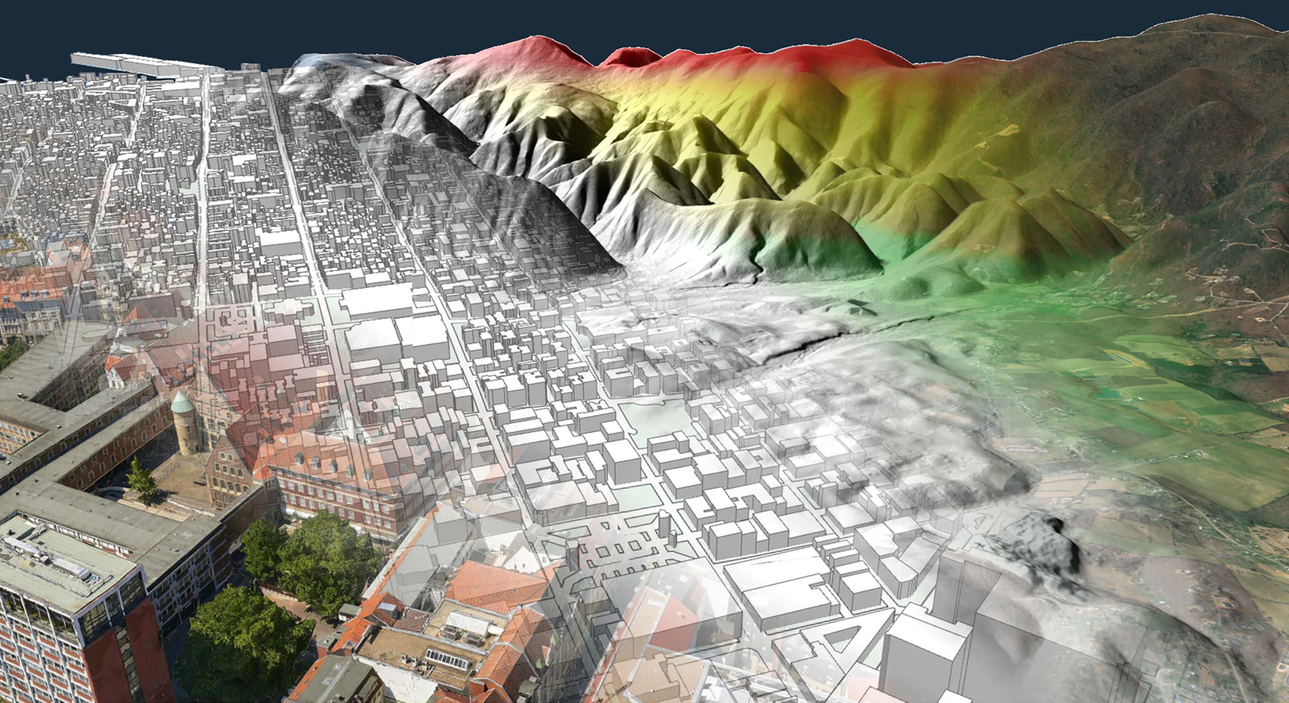
Geospatial software is a critical component in ground combat operations. It creates situational awareness and enables the armed forces to fulfill their mission efficiently. By integrating information sources such as sensor and effector data, the system ensures interoperability and optimal mission accomplishment.
Developer Blog
Getting started with the tactical symbology in Carmenta Engine
Through its tactical extension, Carmenta Engine provides support for visualization and editing of tactical symbols and graphics according to widely used military standards. Currently, the supported standards are MIL-STD-2525 versions B, C and D, as well as NATO App-6 versions B, C and D.
Products with support for Military Tactical Overlays
Carmenta Server
Carmenta UAS Mission Kit
Develop More in Less Time
Leveraging an SDK does not only accelerate the development process and cut costs, it also increases application robustness and reliability.
Related Features
Radio Coverage
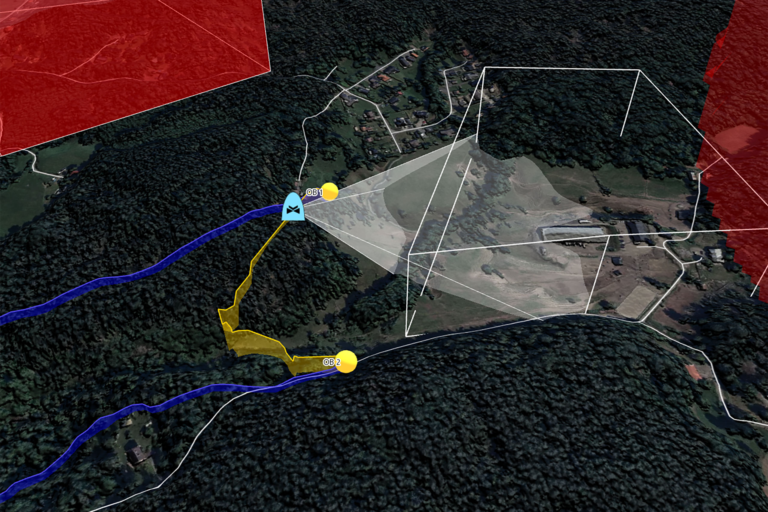
Placement of Observers
Landing Zones
Camera Focused Planning
Geospatial Data from Any Source
Interoperability
Cross-Platform Development
High-Performance Rendering

Georeferenced Video
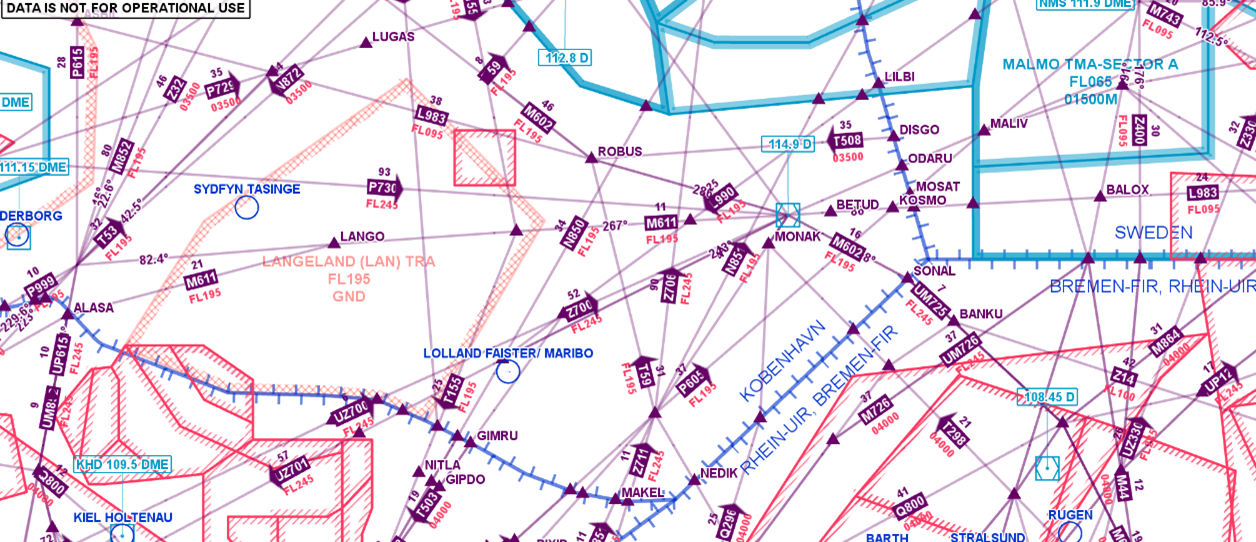
Aeronautical Charts
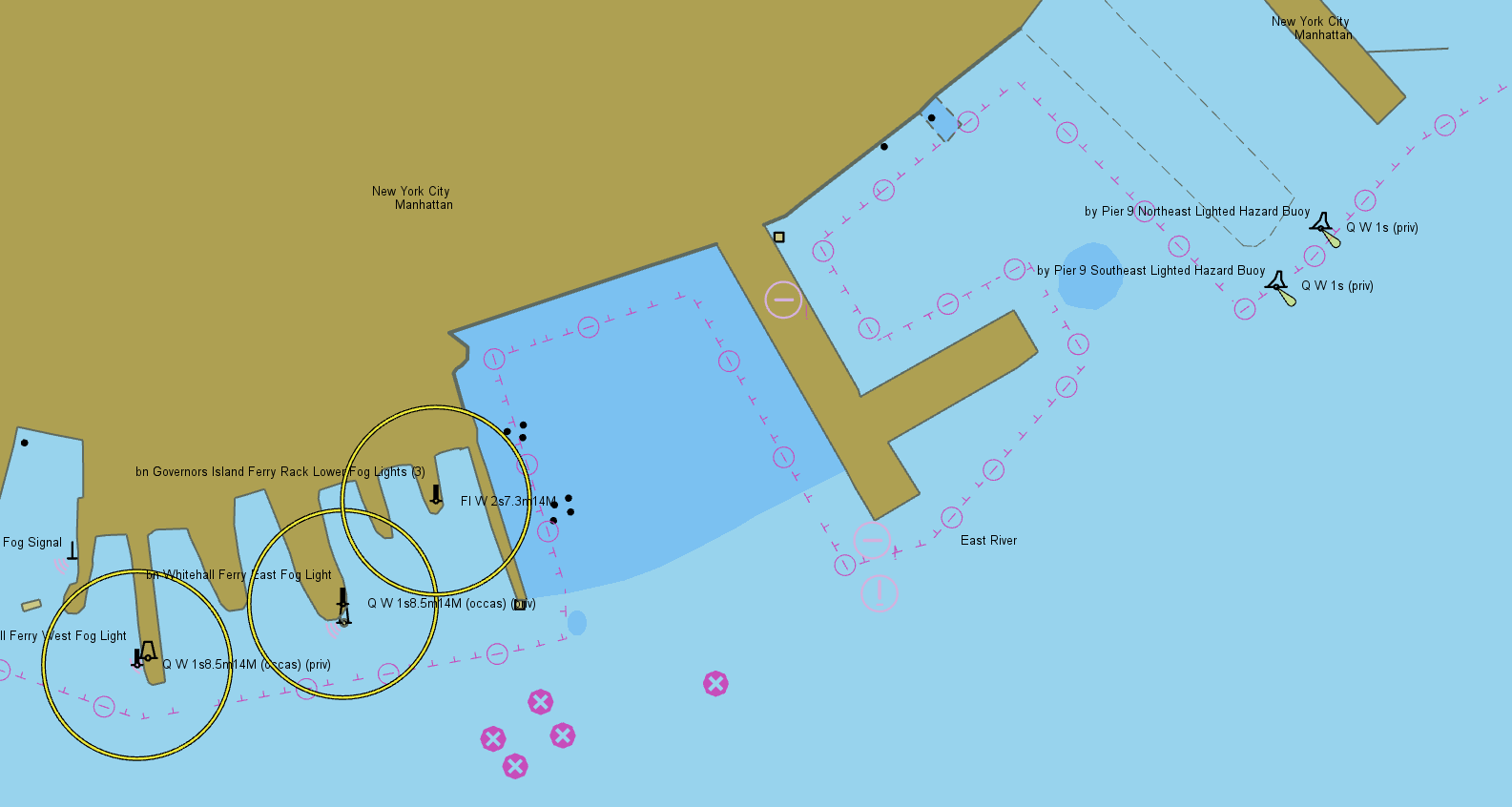
Nautical Charts
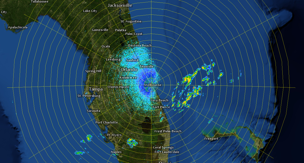
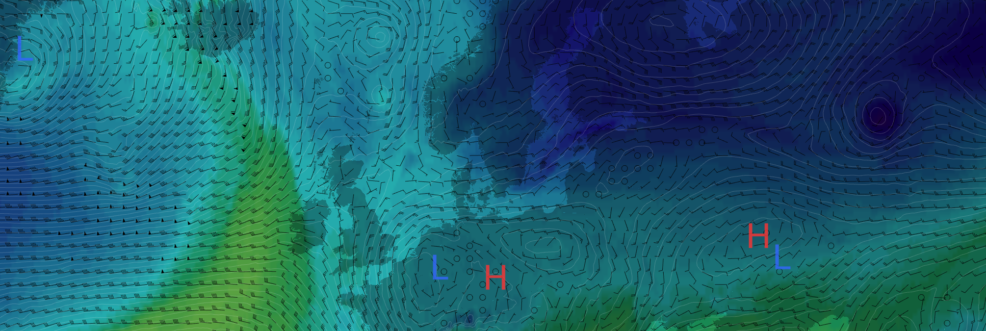
Meteorological Data
Terrain Vehicle Mobility
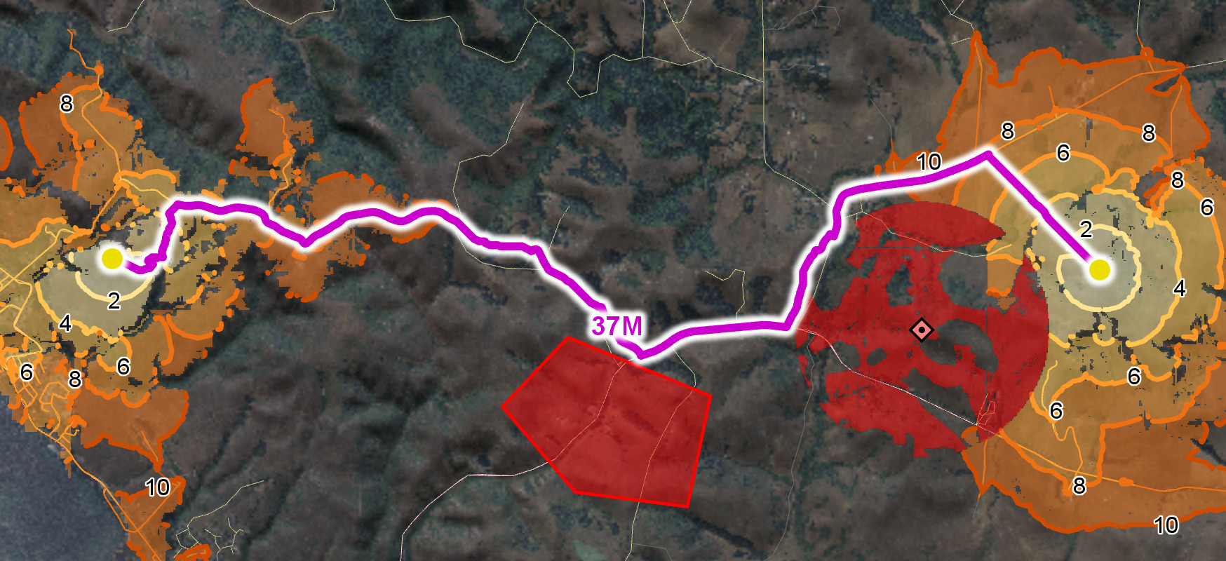
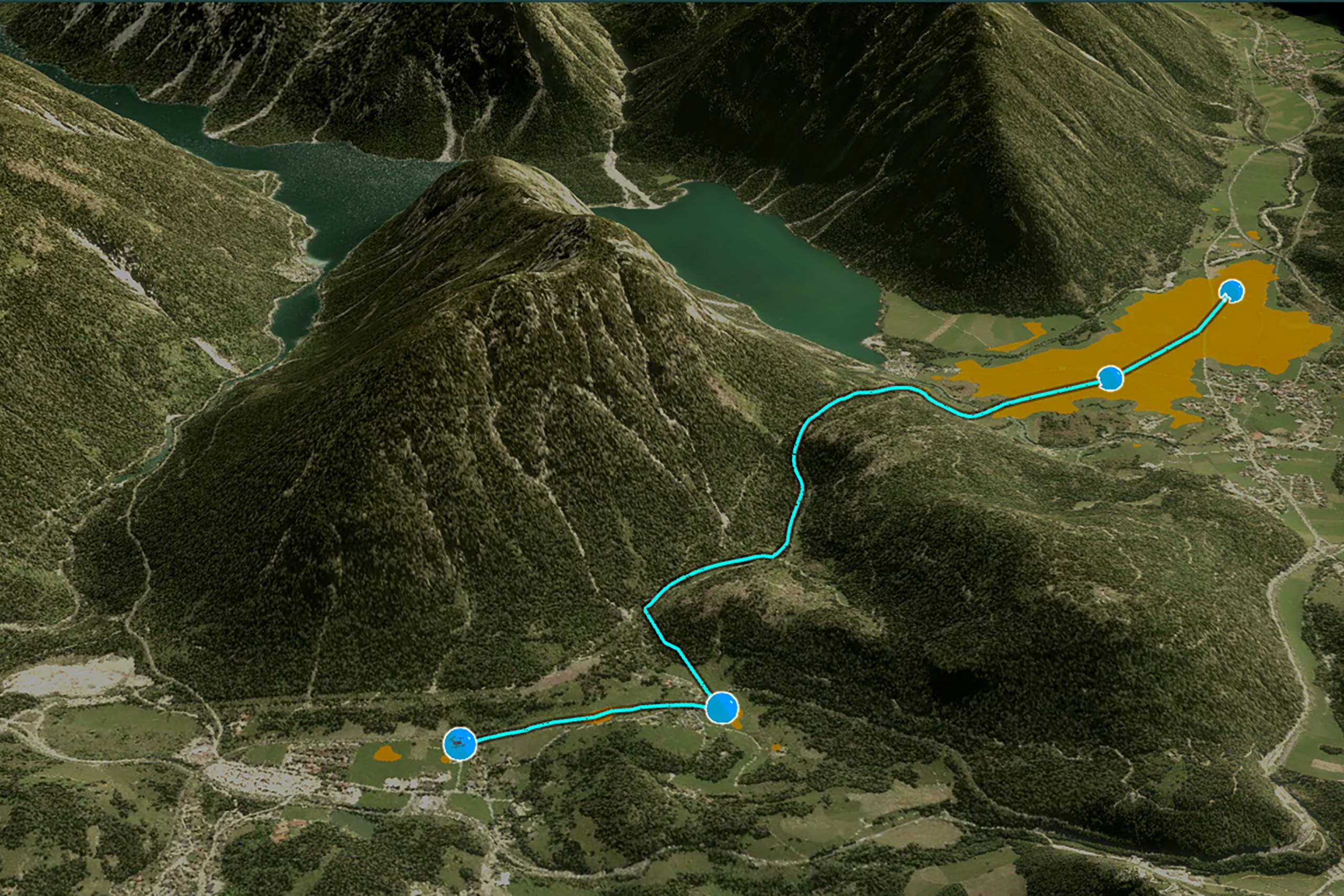
Tactical Drone Routing
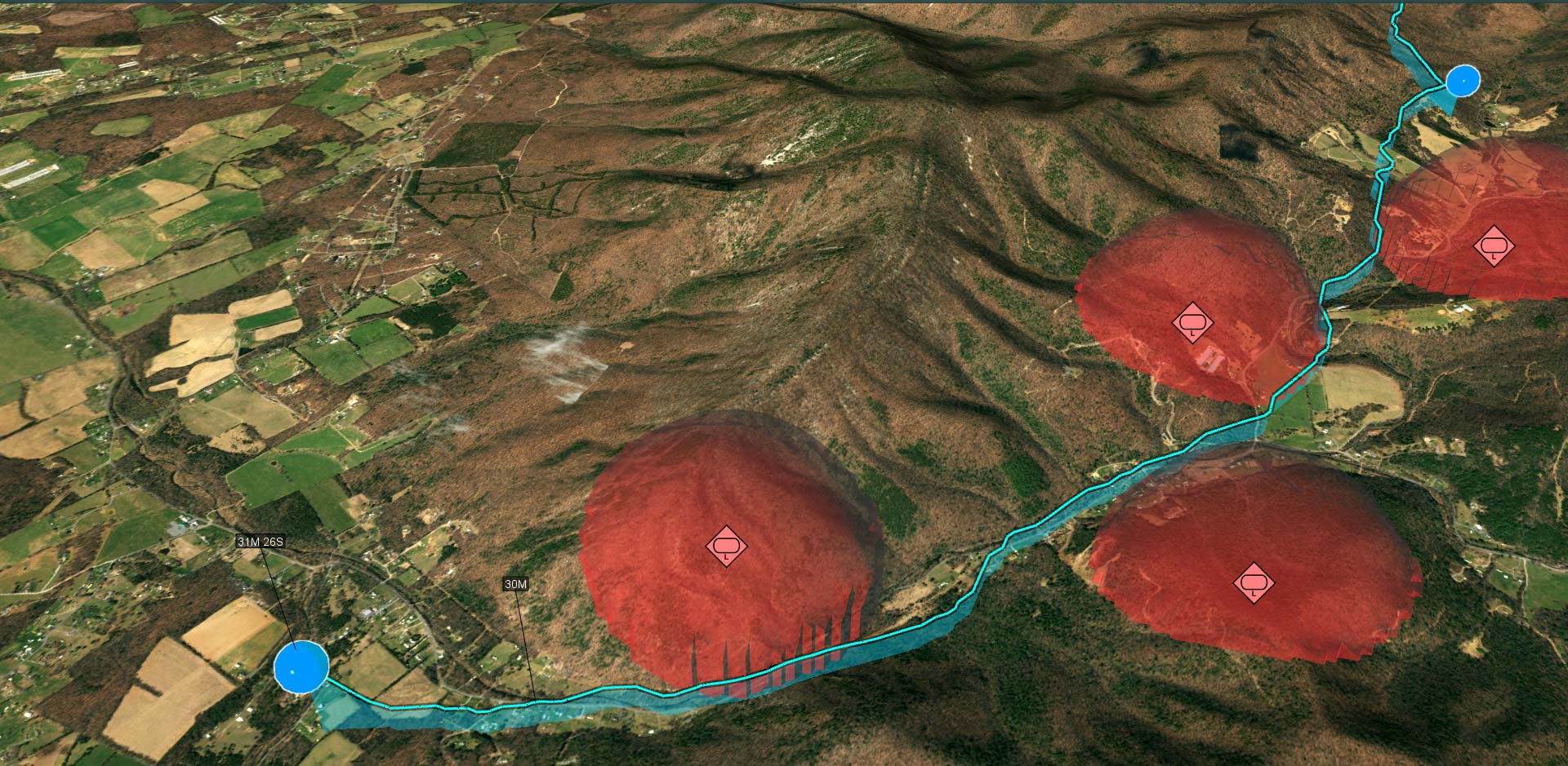
Terrain Analysis
Visibility Analysis

Radar Data