Visibility Analysis
High-performance Visibility Calculations
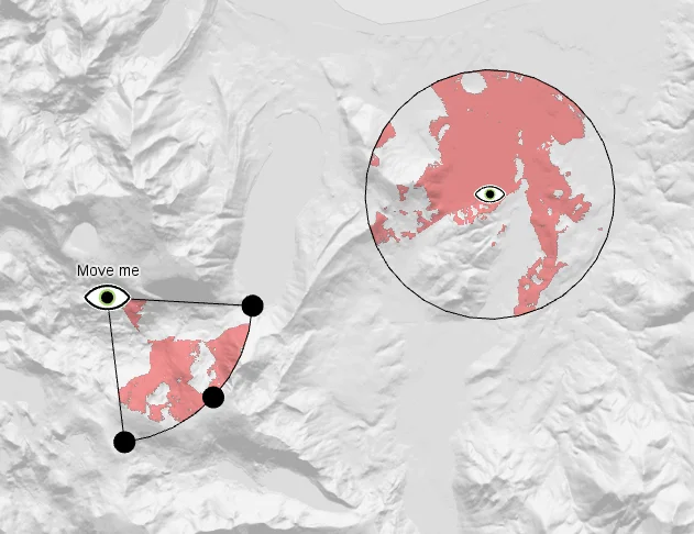
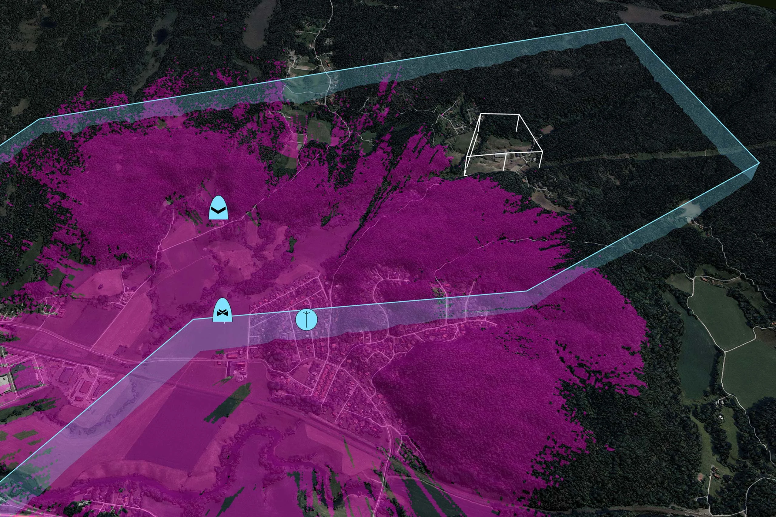
Carmenta’s sophisticated visibility analysis allows you to perform high-performance intervisibility calculations in both 2D maps and 3D urban environments. The line-of-sight calculation uses elevation data to determine the regions with a clear line-of-sight to an observer’s position. The calculation is extremely fast and designed to be performed on the fly for moving objects.
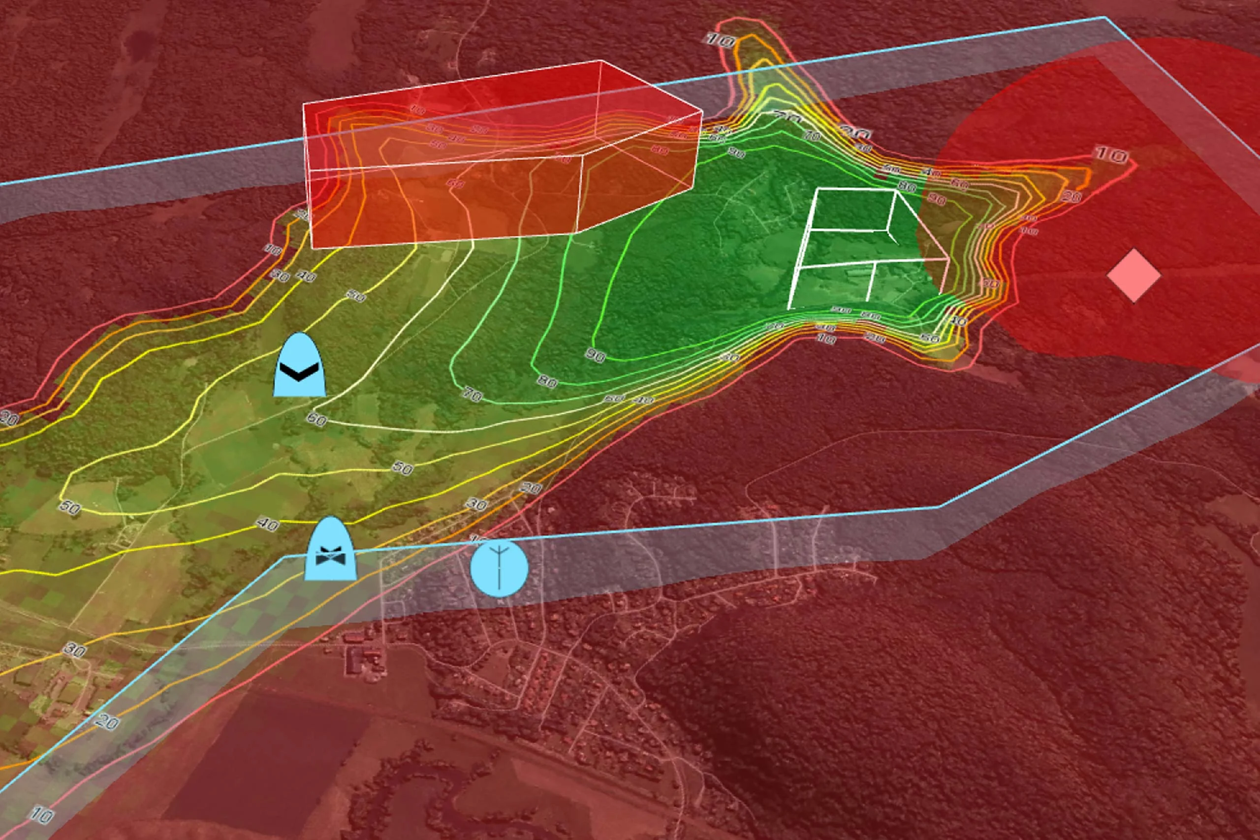
The result is a set of gridded values that indicate the height at which an object must be to be seen from a given position. This can be used to create a color-coded display of the results. The results can also be intersected and displayed in a vertical profile.
Volumetric Line-of-Sight
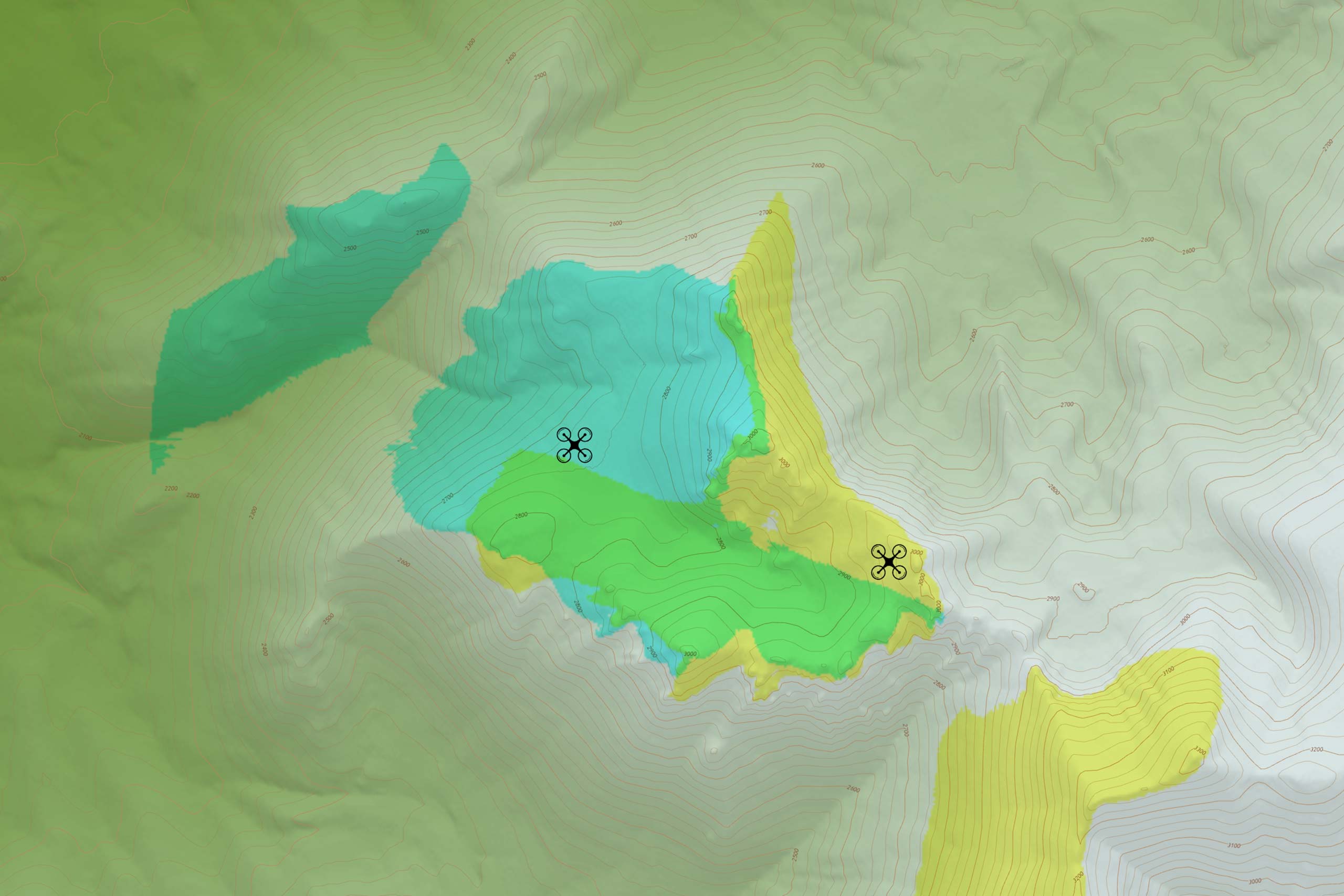
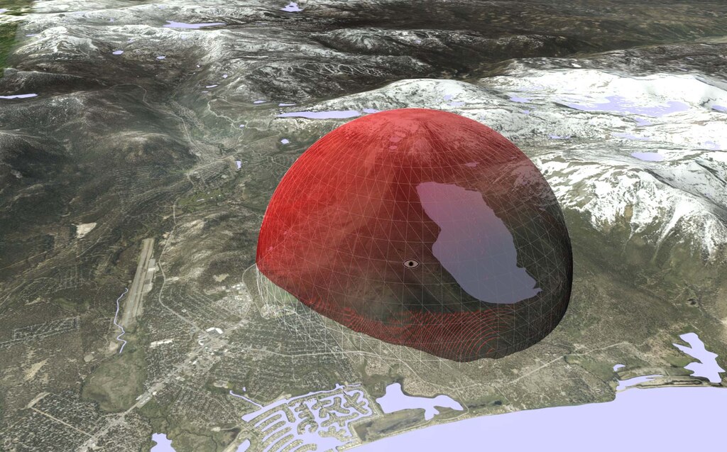
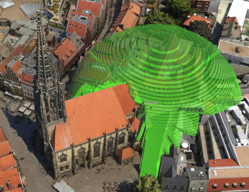
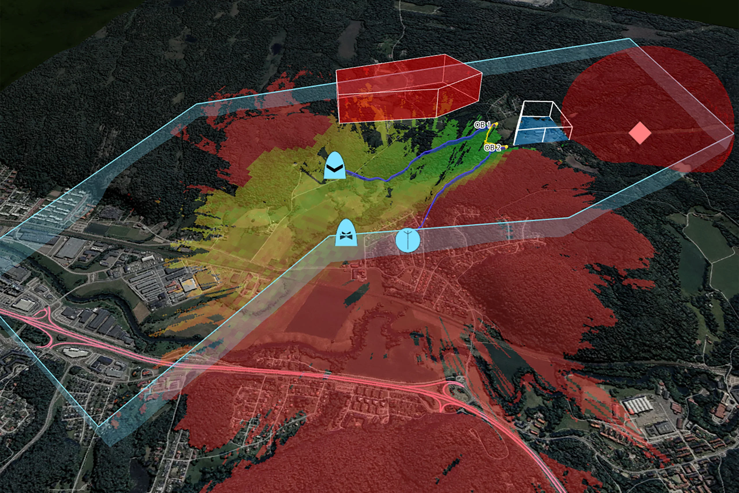
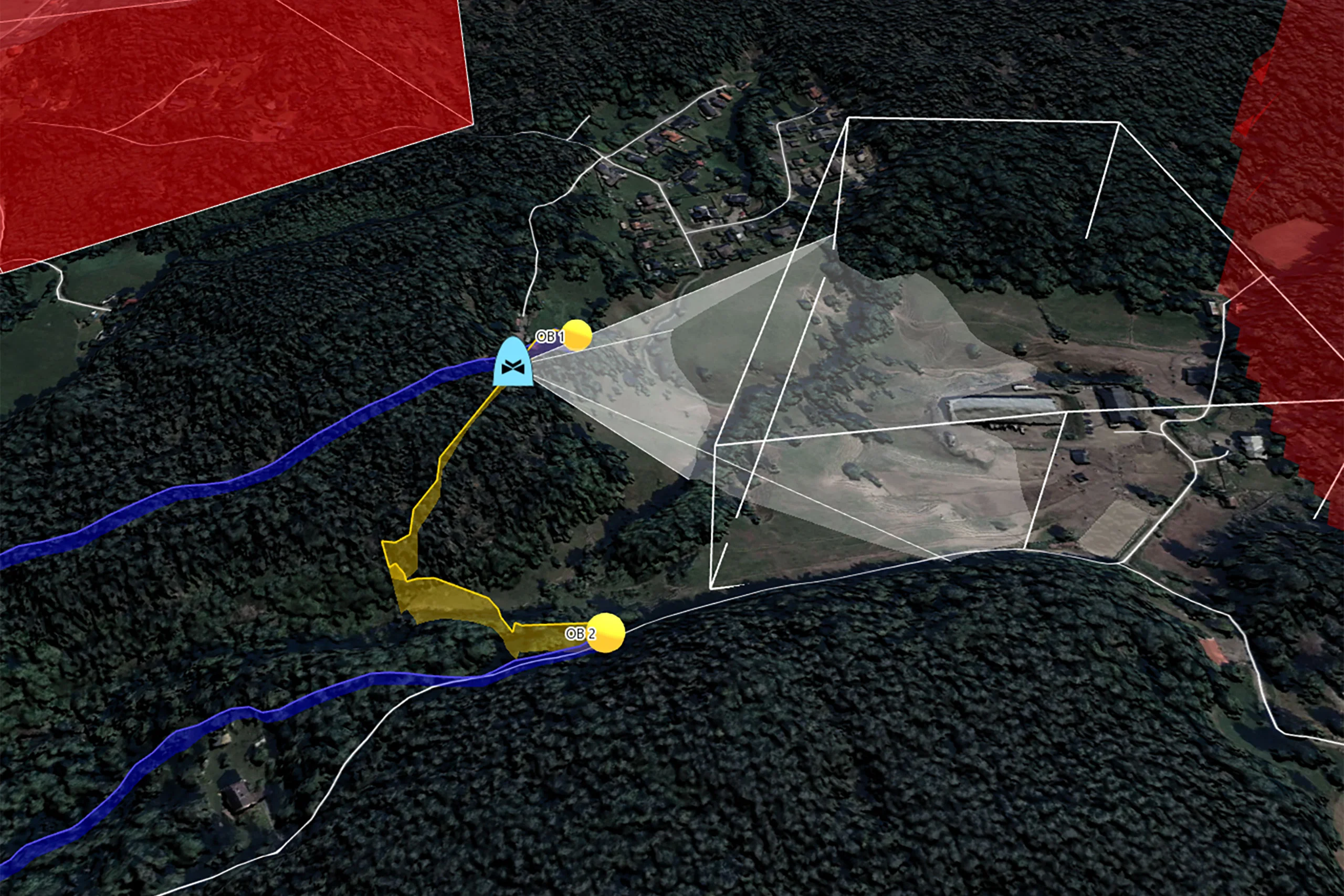
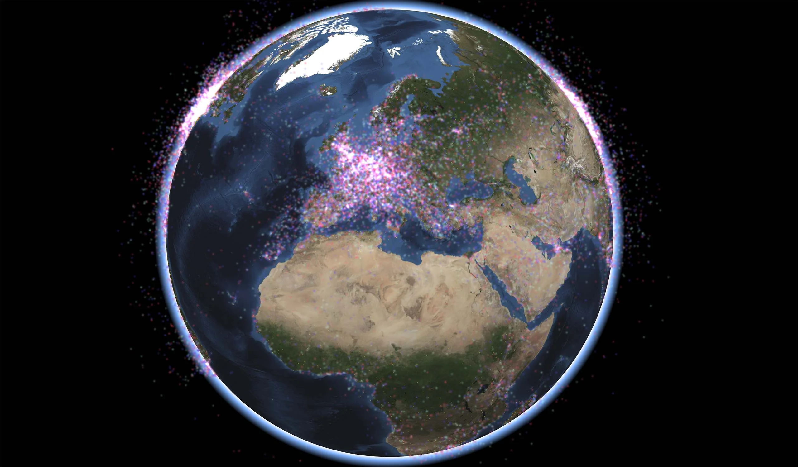
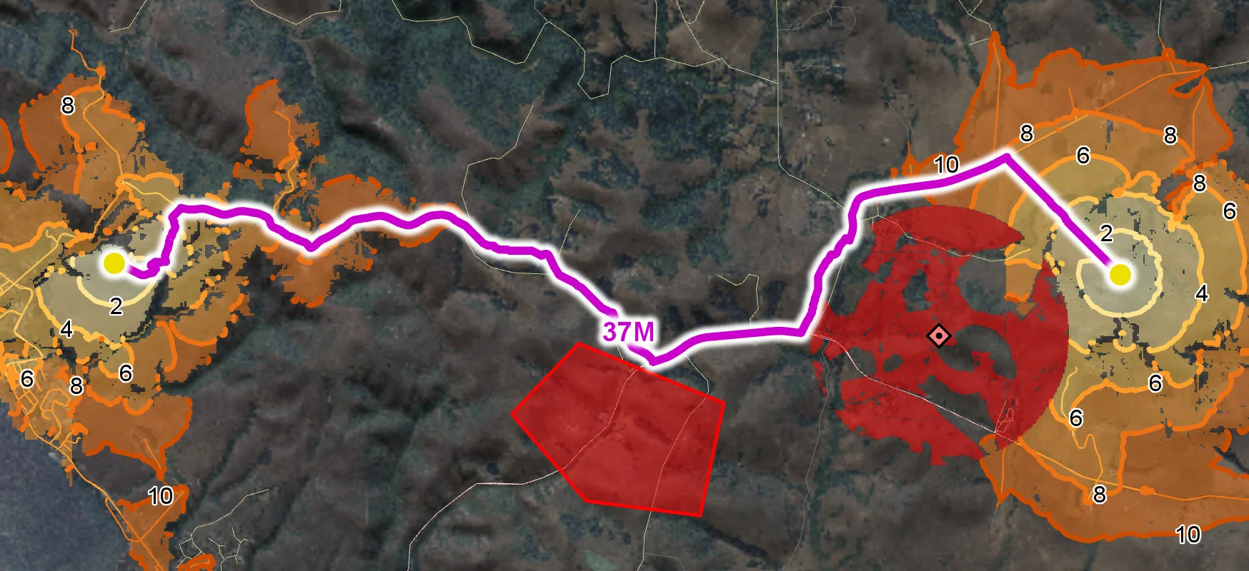
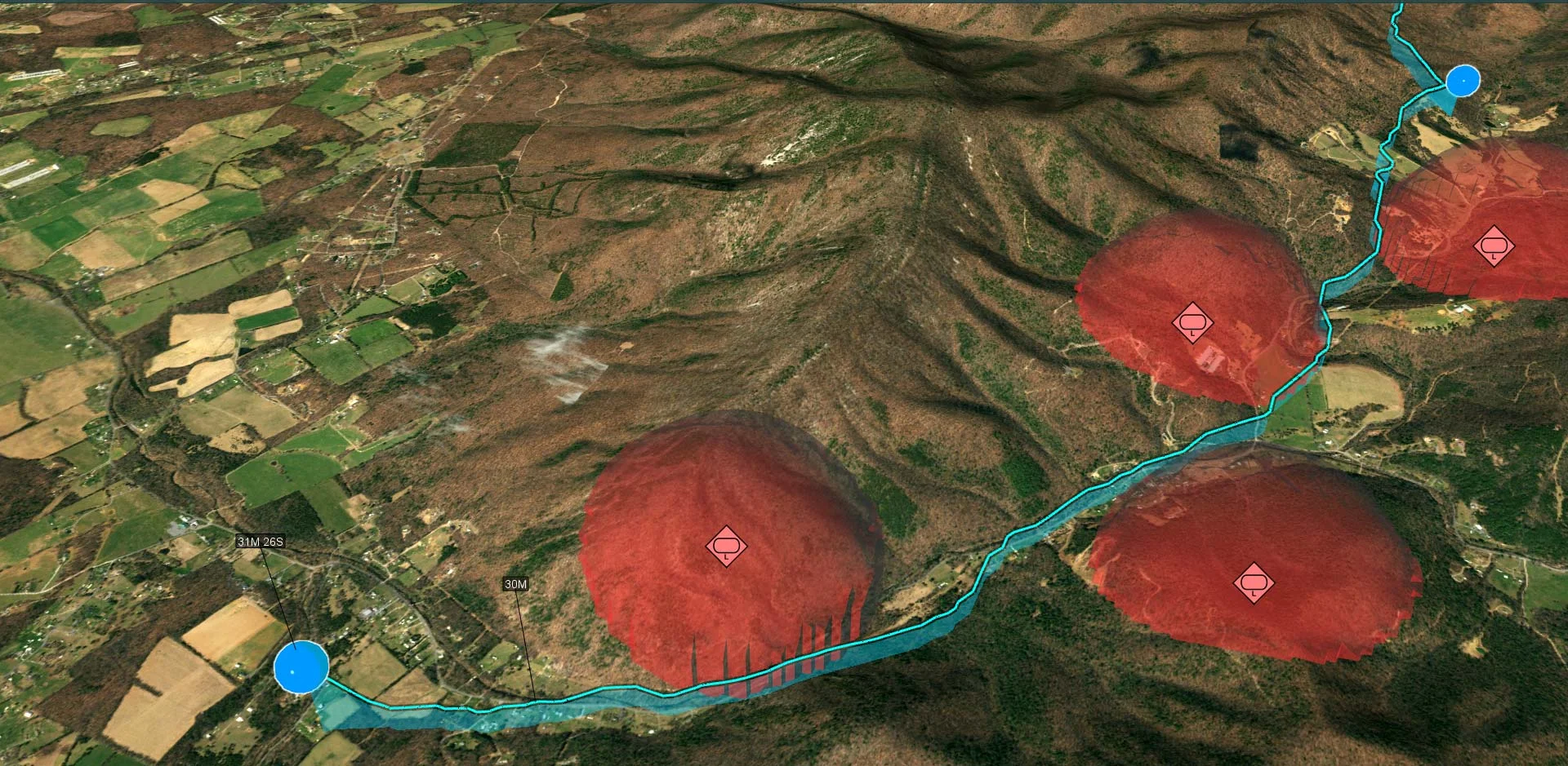
The volumetric line of sight functionality makes it possible to determine the 3D volume that a sensor covers. Such volumes can be merged into a combined volume representing the airspace covered by any number of observers. This is especially useful in a C-UAS scenario.
Custom Propagation
It is also possible to replace the standard propagation model of the visibility calculation with your own custom propagation calculation. The custom code only needs to handle the propagation along a vertical terrain profile from the observer – Carmenta’s optimized algorithm takes care of the rest.
Use cases for custom propagation include ballistic calculations and radio propagation algorithms.
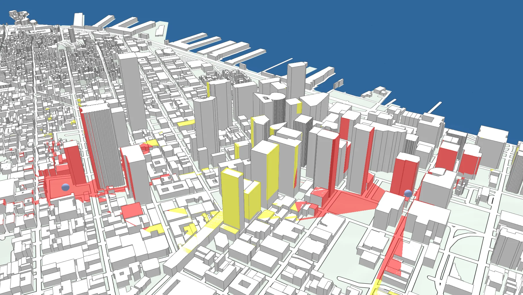
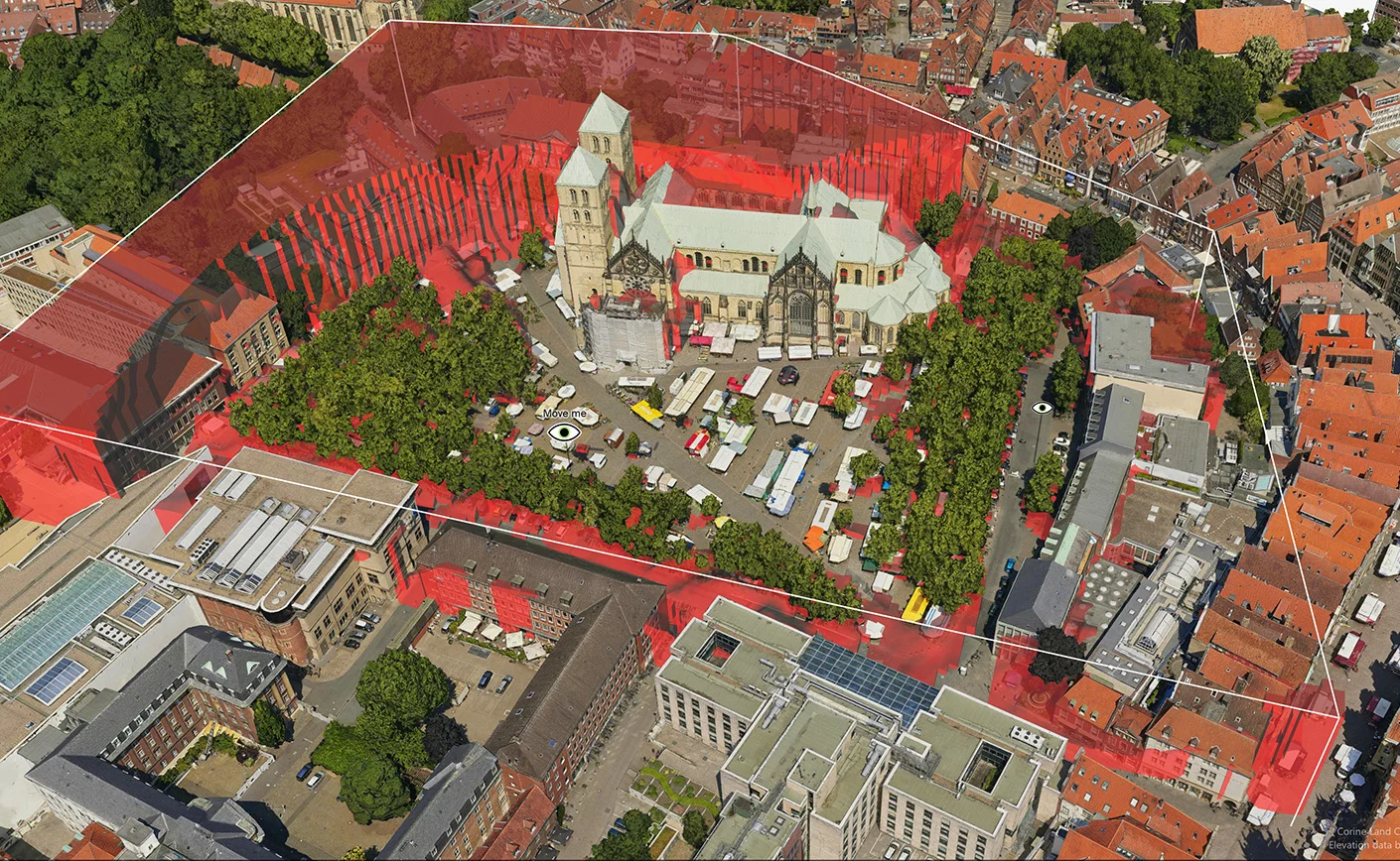
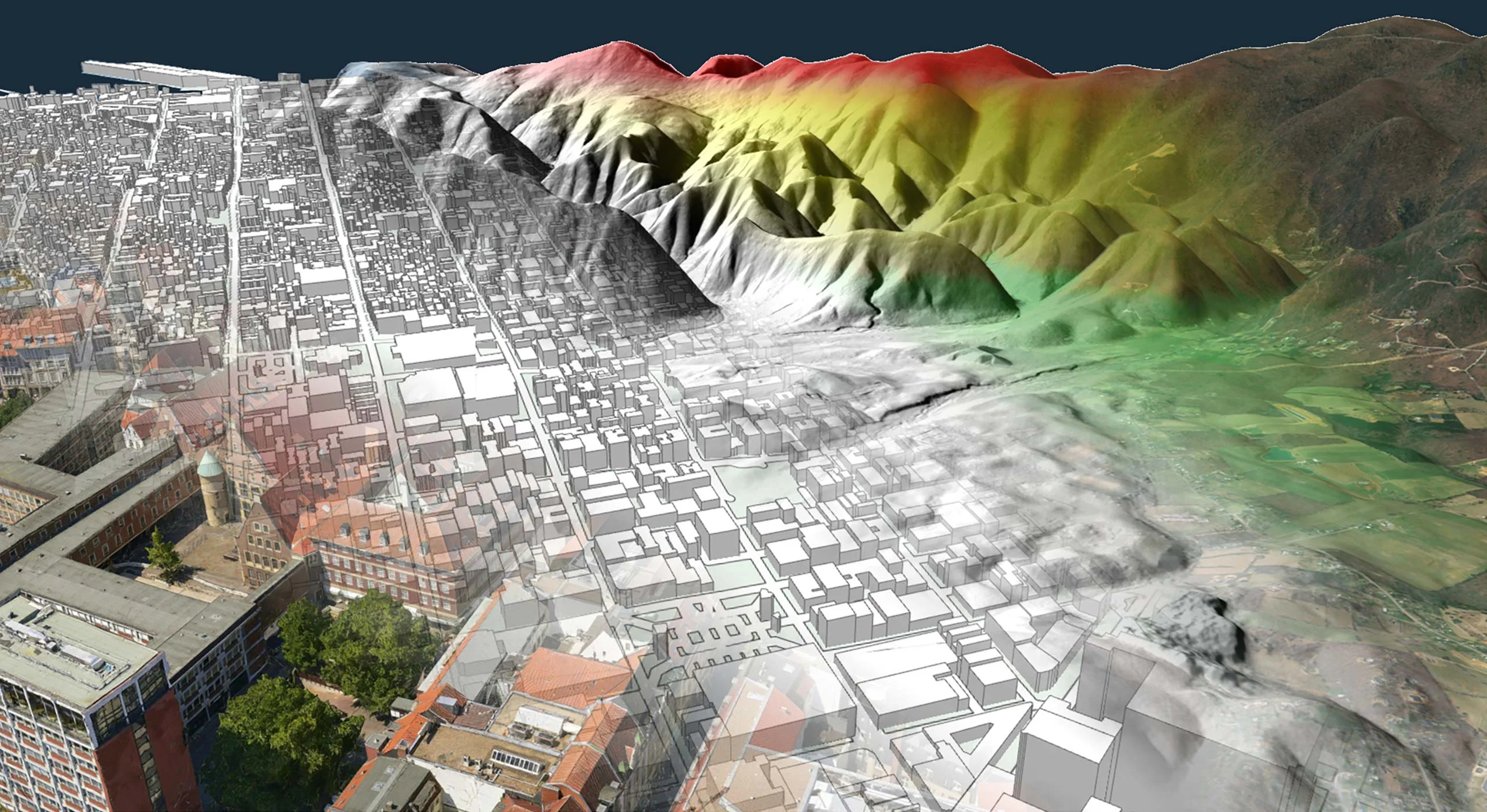
Line-of-Sight in 3D City Environments
In 3D, line-of-sight analysis can be performed directly on the ground meshes loaded into the view. This provides a very accurate result, especially when used with detailed 3D city models.
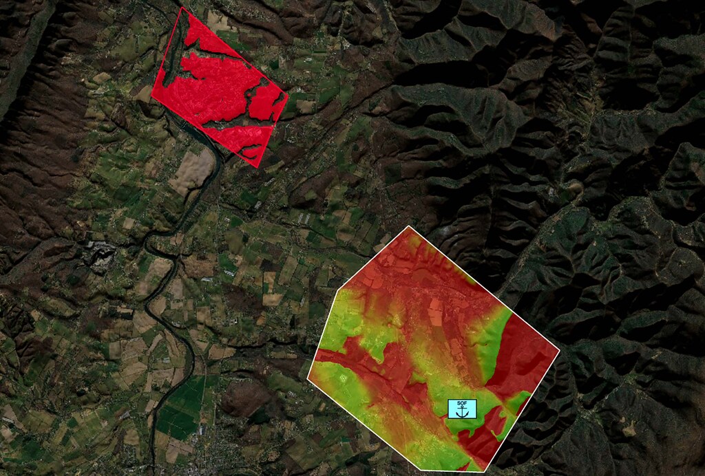
Visibility Index
The visibility index calculation quickly determines how much of a given target area is visible from the surrounding terrain. It can help you find optimal surveillance spots, as well as areas where you are hidden from the enemy’s view.
Additional Features
A dedicated component provides high performance intra-visibility calculation between multiple moving objects; particularly useful for target tracking.
Many configurable sensor parameters, such as lobe size, maximum range, and refraction, mean that the calculation can also be used to determine line-of-sight for conventional or phased array radar systems.
Use Case
Protecting Airspace
In Air Defense and Counter-UAS, having a well-protected airspace involves employing a combination of detection, identification, tracking, and interception capabilities to neutralize any potential threats to the airspace’s security and integrity. This includes real-time airspace coverage analysis by combining several live data sources.
Developer Blog
Dynamic Visibility Analyses
This guide will help you configure the visibility operators in Carmenta Engine to tackle your specific use cases and handle dynamic application data.
Related Product: Carmenta Engine and Carmenta UAS Mission Kit
Carmenta UAS Mission Kit
Develop More in Less Time
Leveraging an SDK does not only accelerate the development process and cut costs, it also increases application robustness and reliability.
Related Features
Radio Coverage
Placement of Observers
Landing Zones
Camera Focused Planning
Geospatial Data from Any Source
Interoperability
Cross-Platform Development
High-Performance Rendering
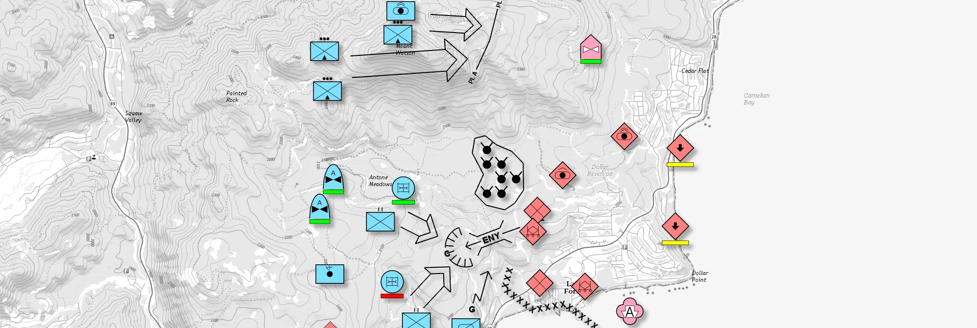
Military Tactical Overlays
Georeferenced Video

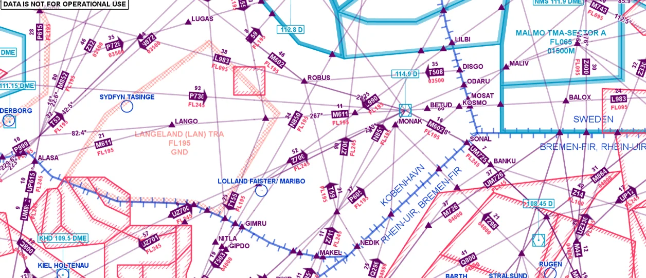
Aeronautical Charts
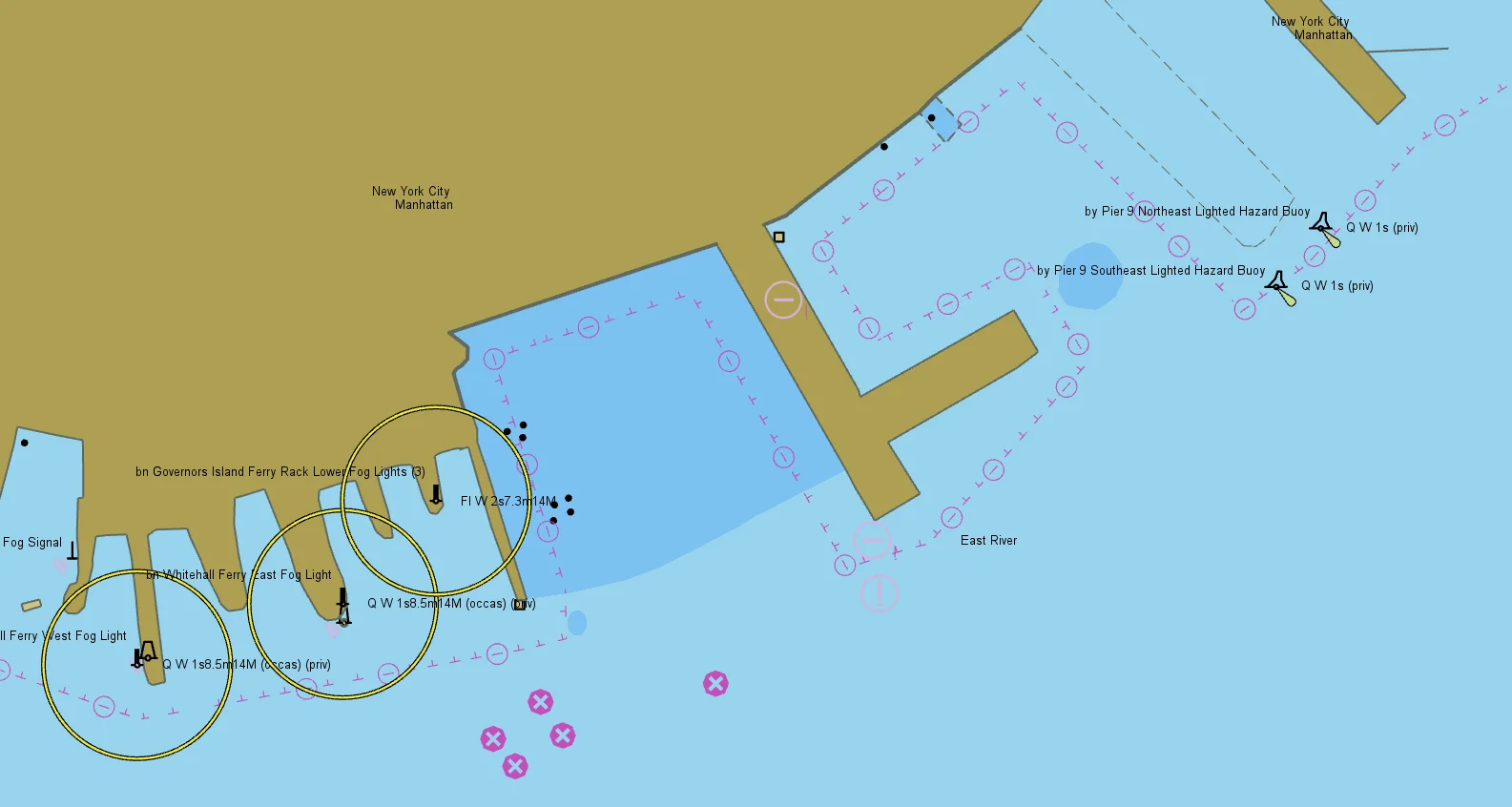
Nautical Charts
Meteorological Data

Terrain Vehicle Mobility
Tactical Drone Routing
Terrain Analysis
Radar Data