Developer Blog

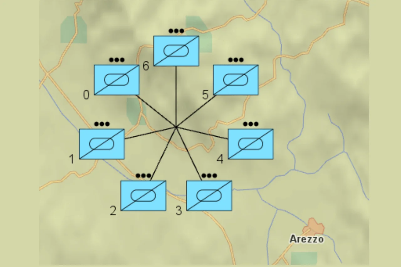
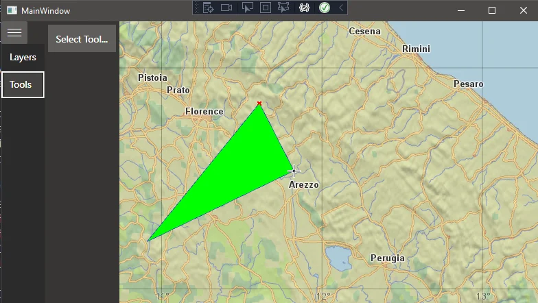
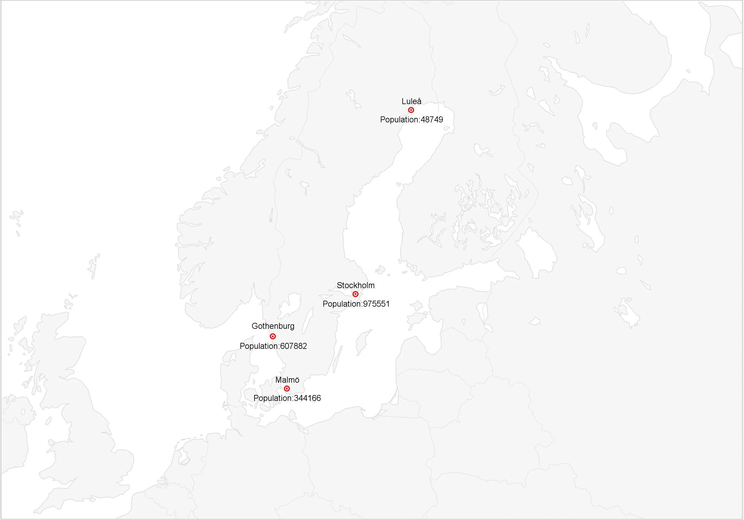
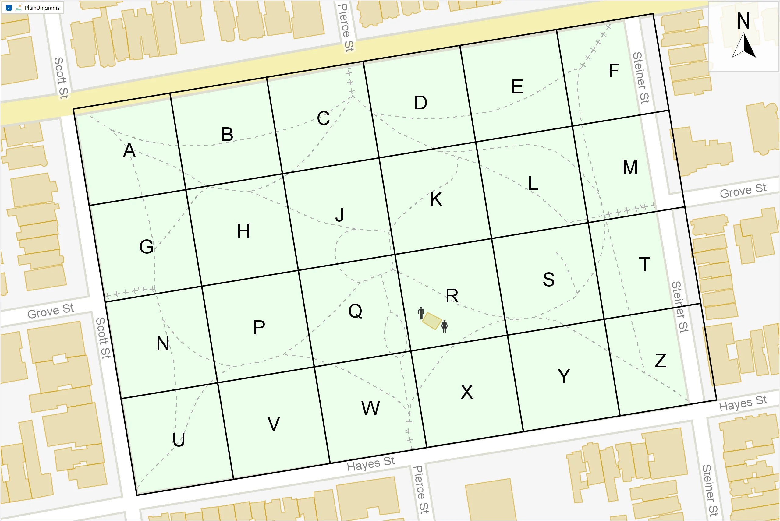
User-defined Geocoded Grids

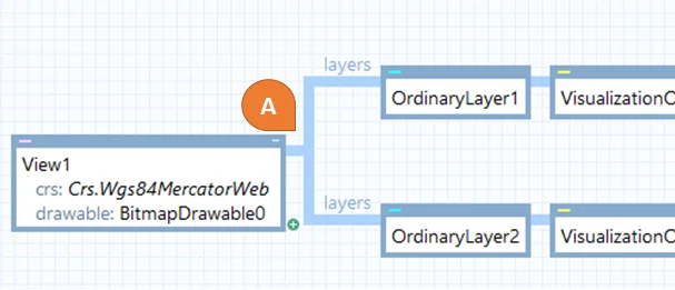
How can you visualize your own geocoding scheme in Carmenta Engine? This article describes how to implement visualizations of regular geocoding schemes in a map configuration file, using a GridGenerator and text visualizers based on Expressions.

Read more
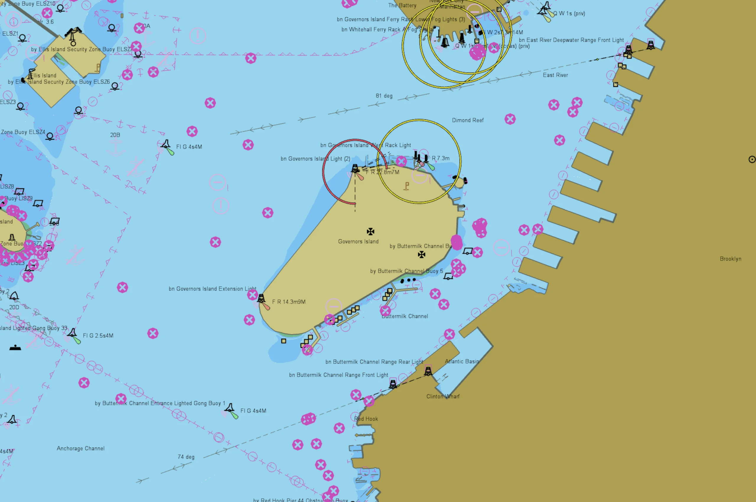
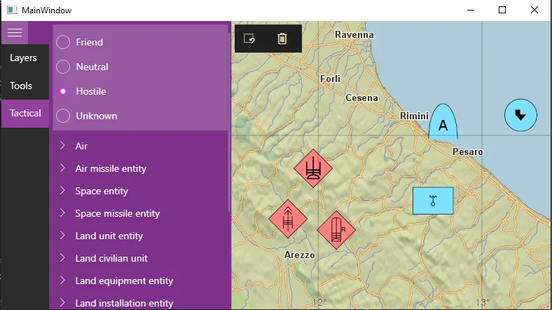
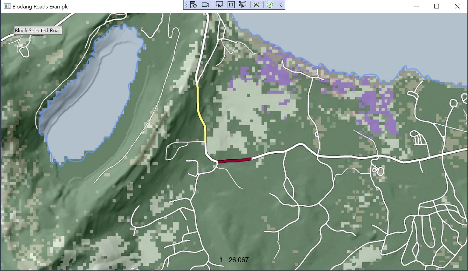
Interact with nautical charts in Carmenta Engine

Nautical Charts introduction

Learn how to interact with nautical charts in Carmenta Engine: query S57DataSet features, filter visualizations, and update S52Visualizer properties.

Read more

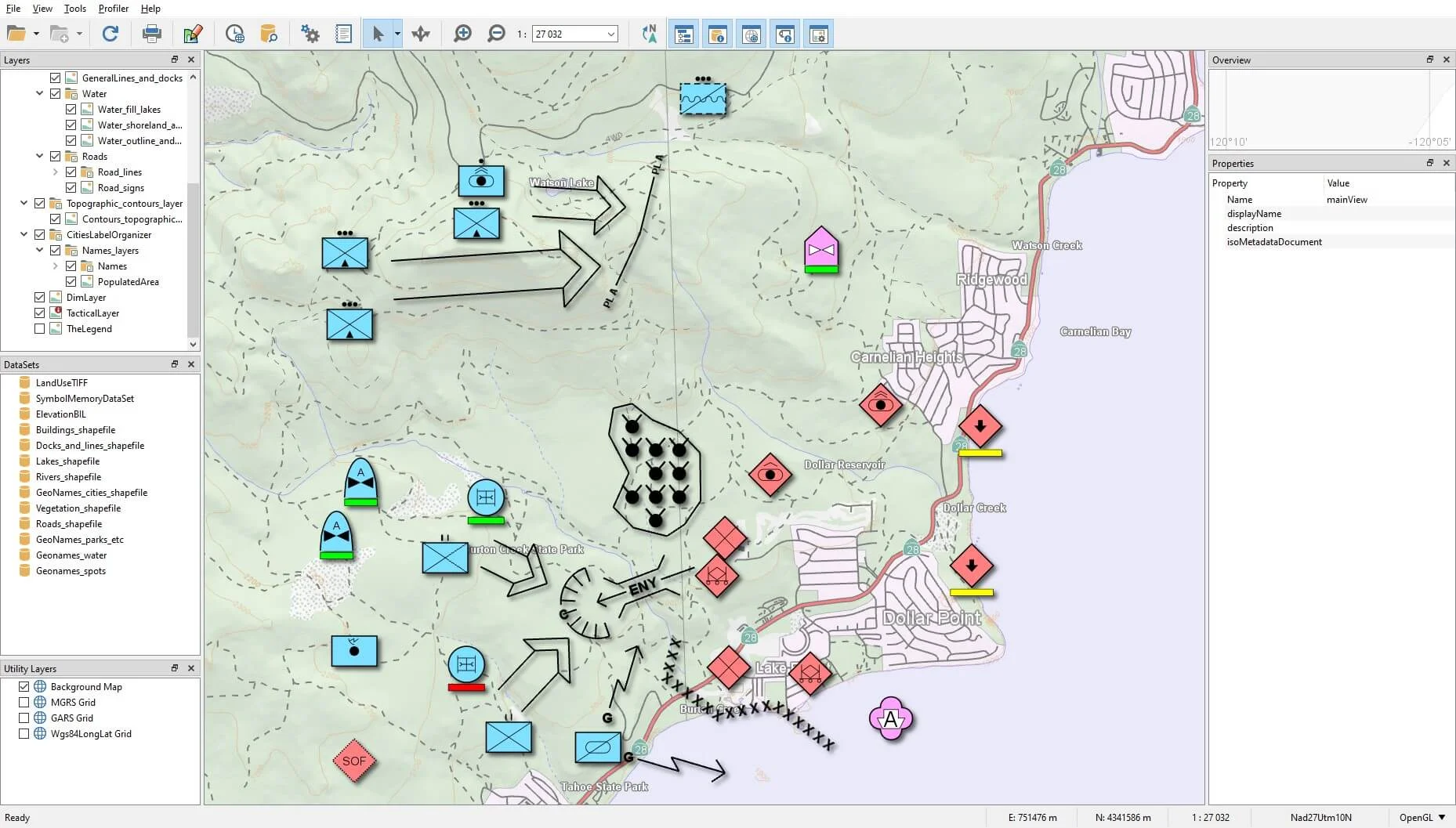
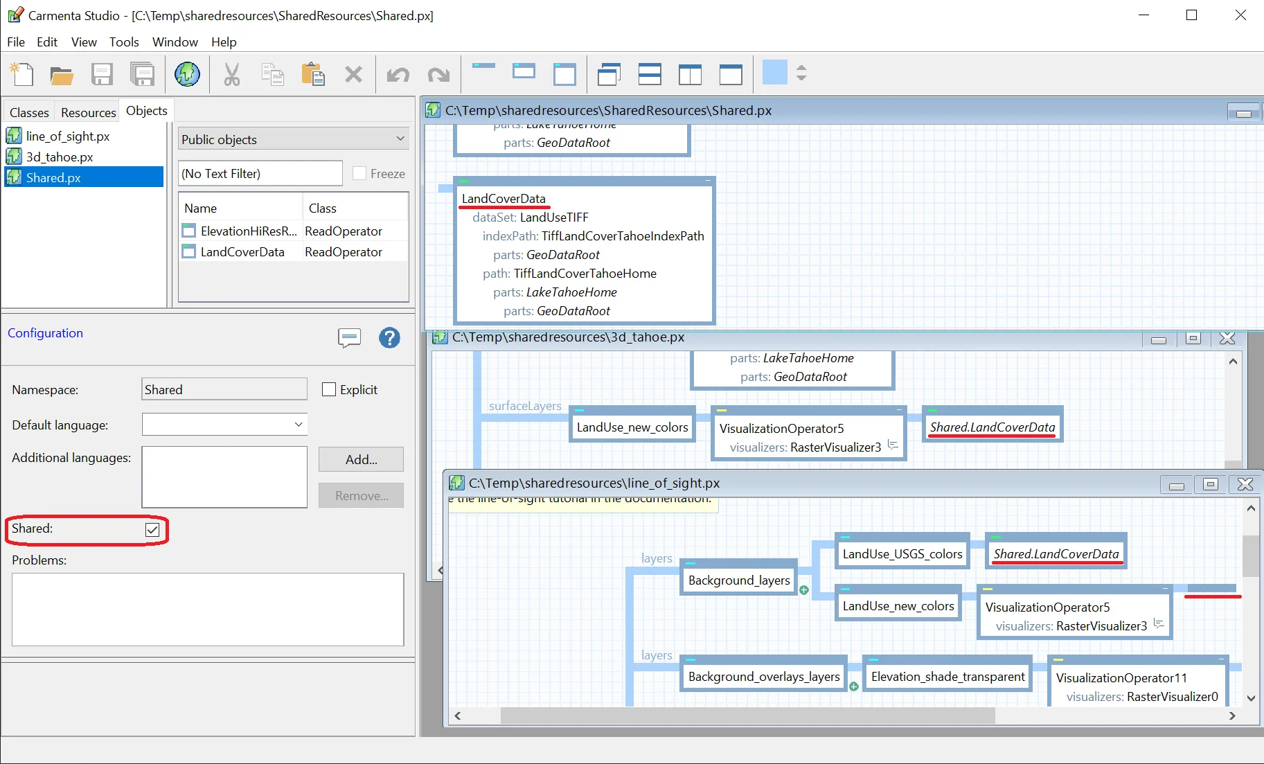
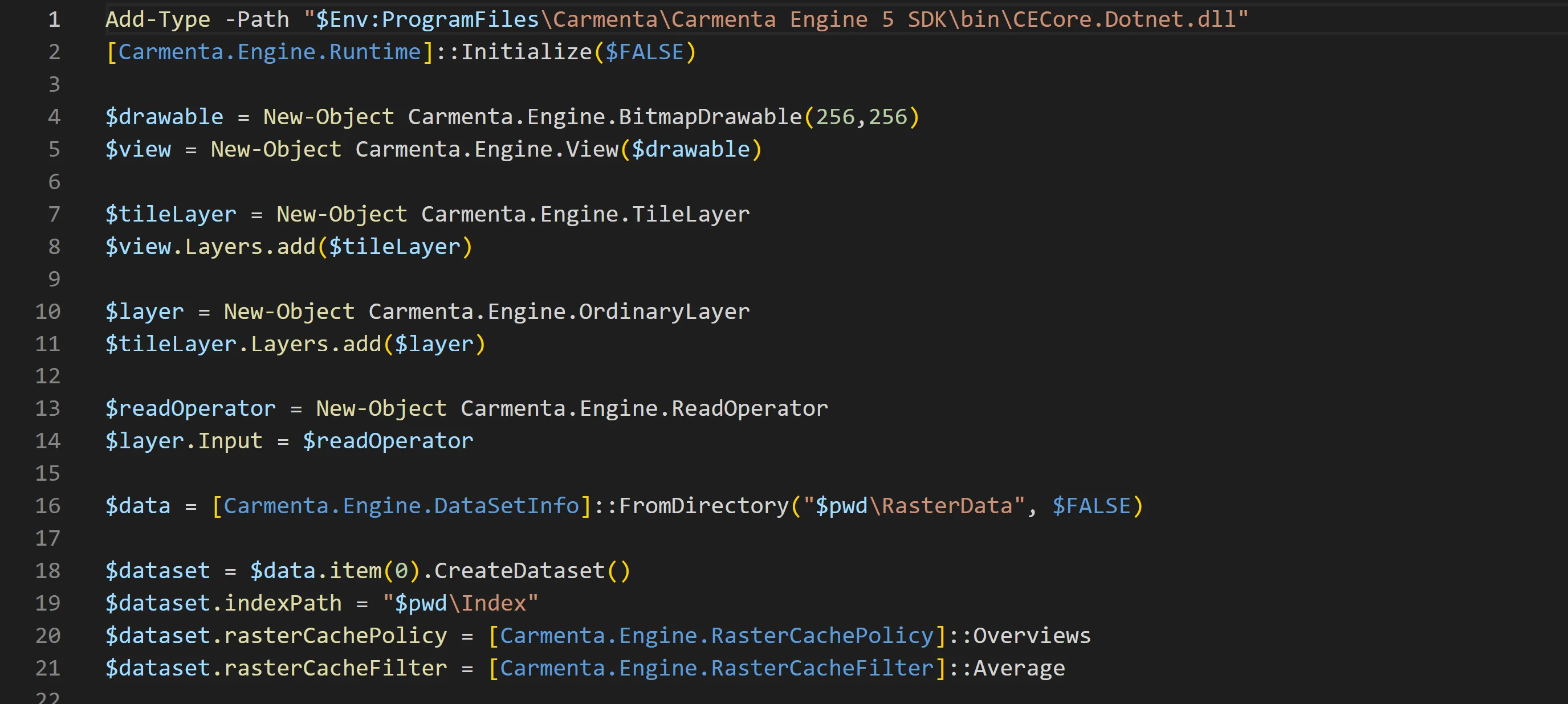
Using Shared Resources

A presention of tools to create shared public objects that can be used by multiple different configuration files and only exist as a single instance in memory.

Read more

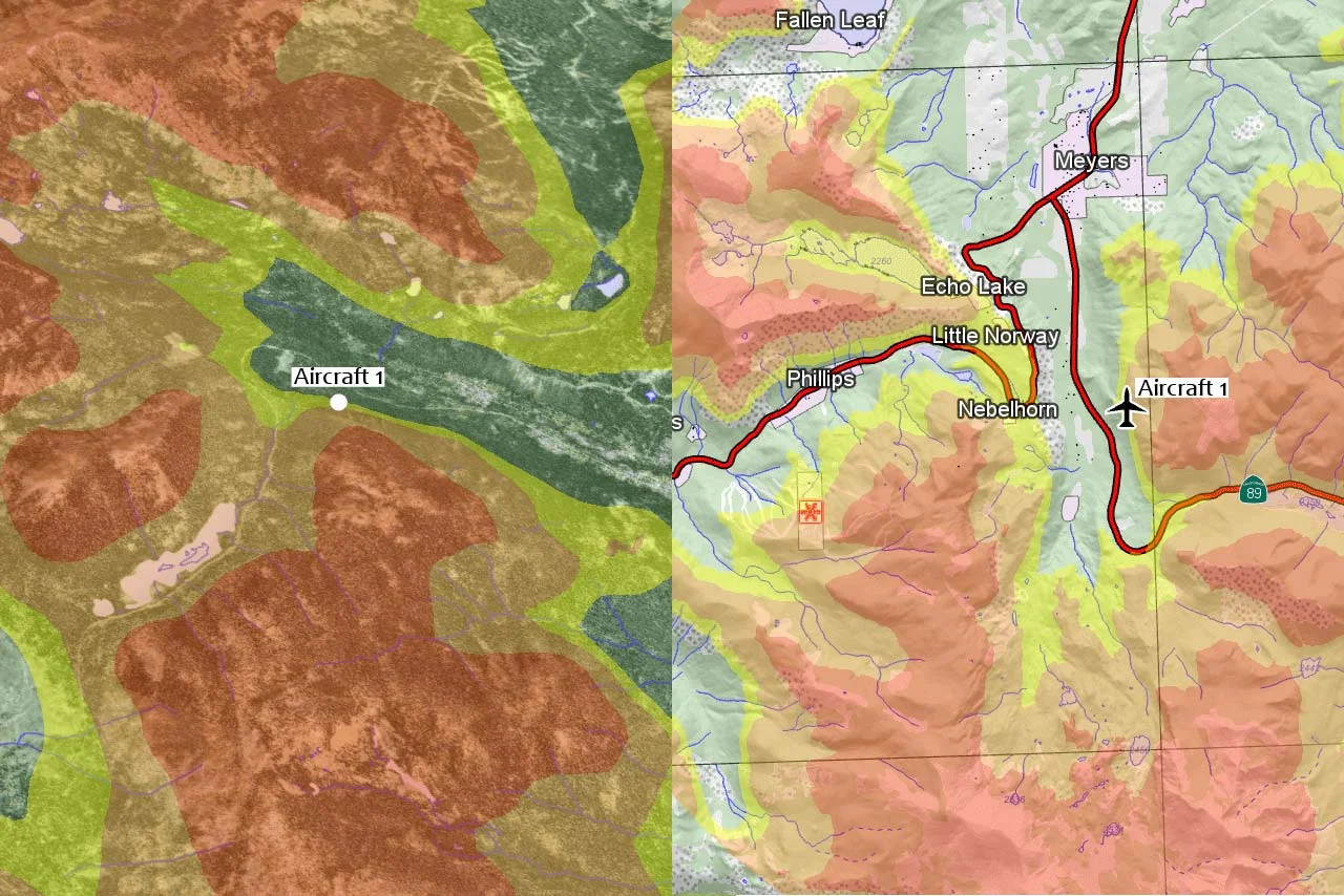
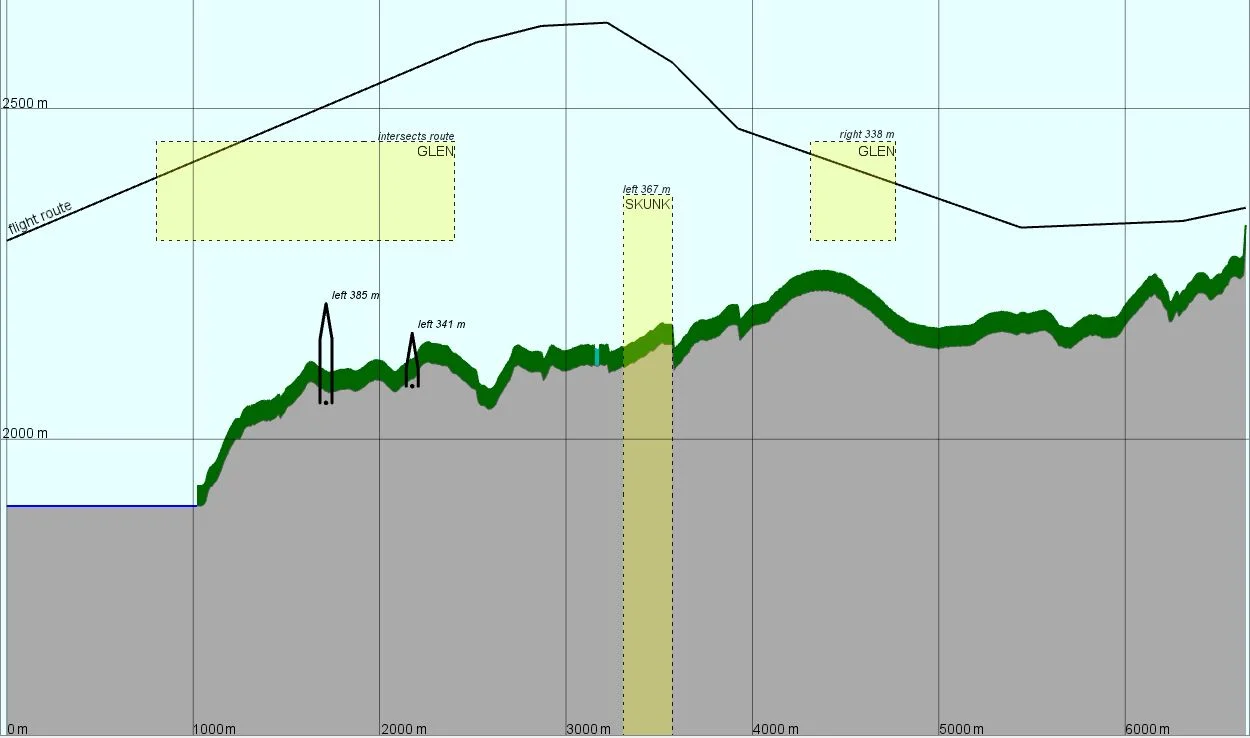
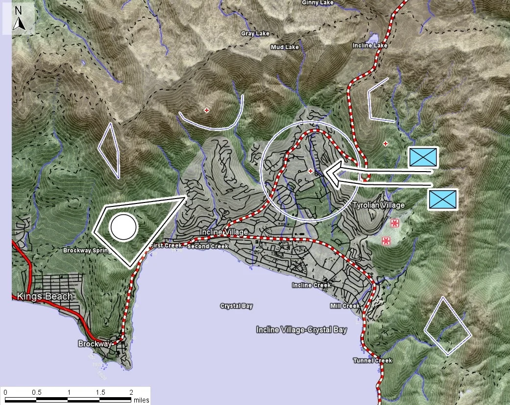
Dynamic Visibility Analyses

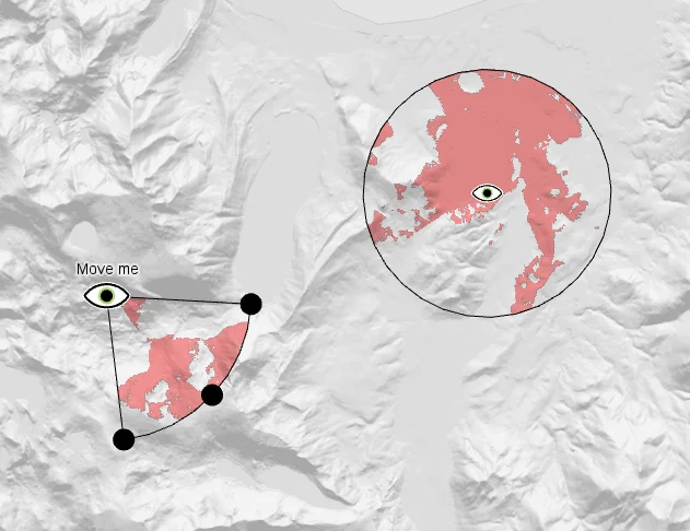
Learn how to configure dynamic visibility analysis in Carmenta Engine. This guide covers line-of-sight setup for sensors, cameras, and moving observers.

Read more