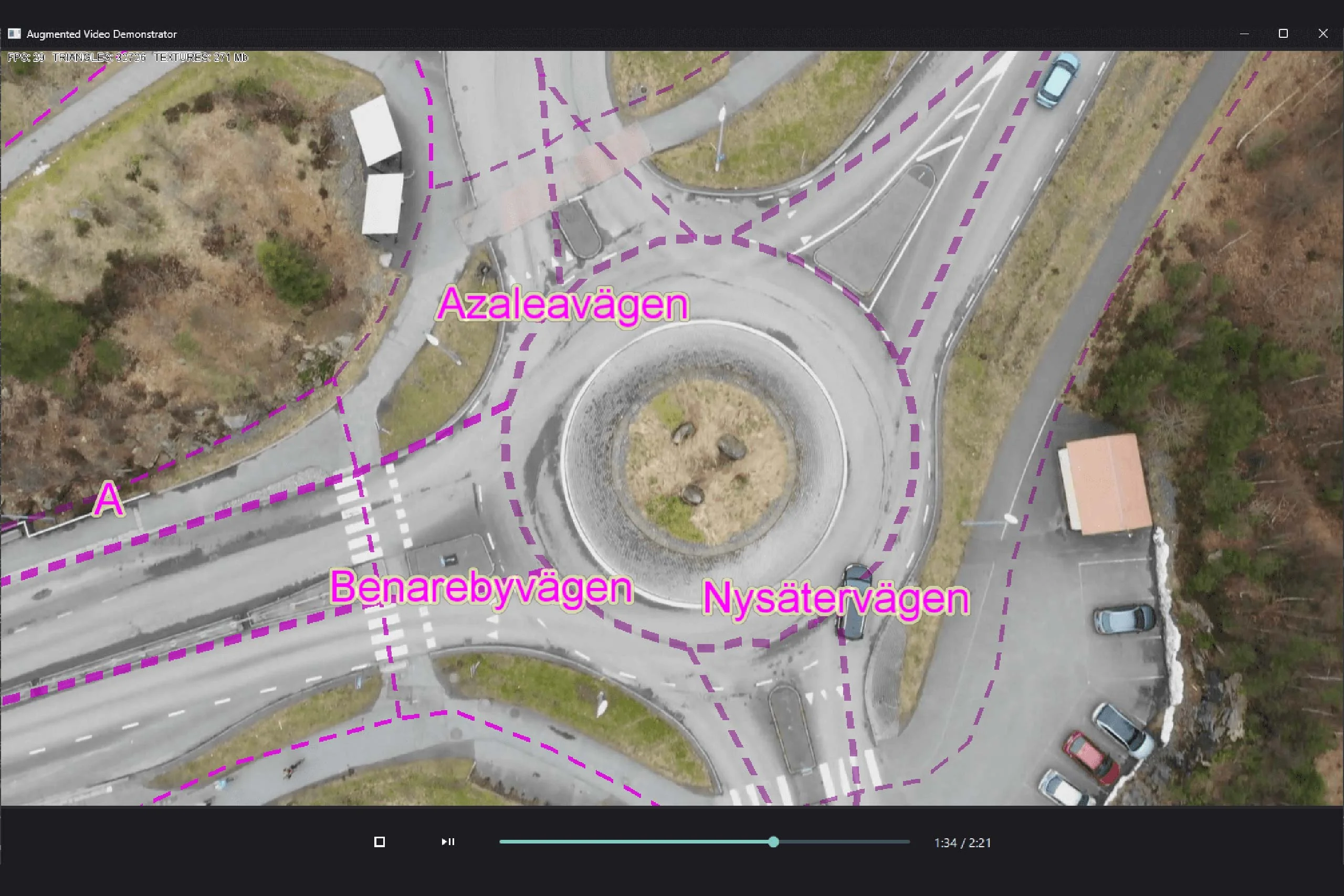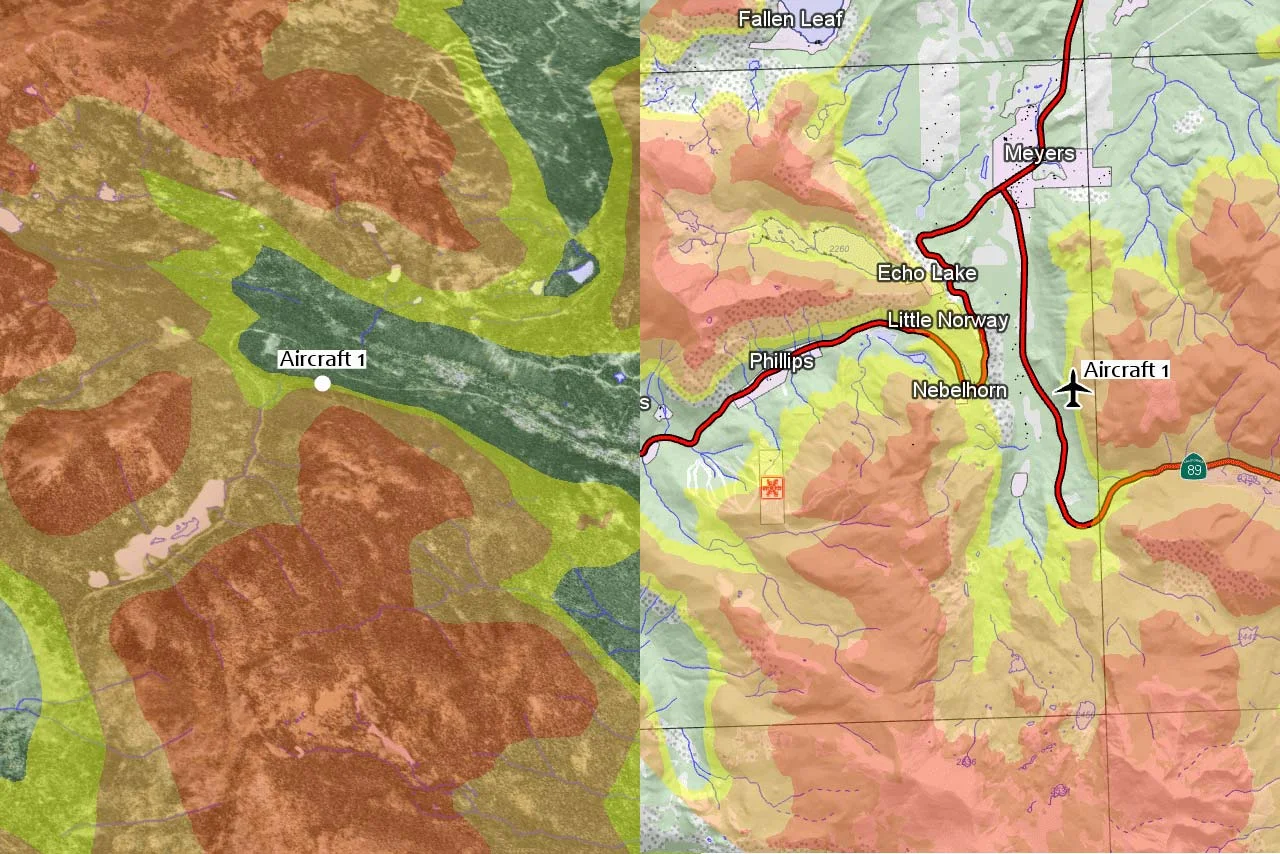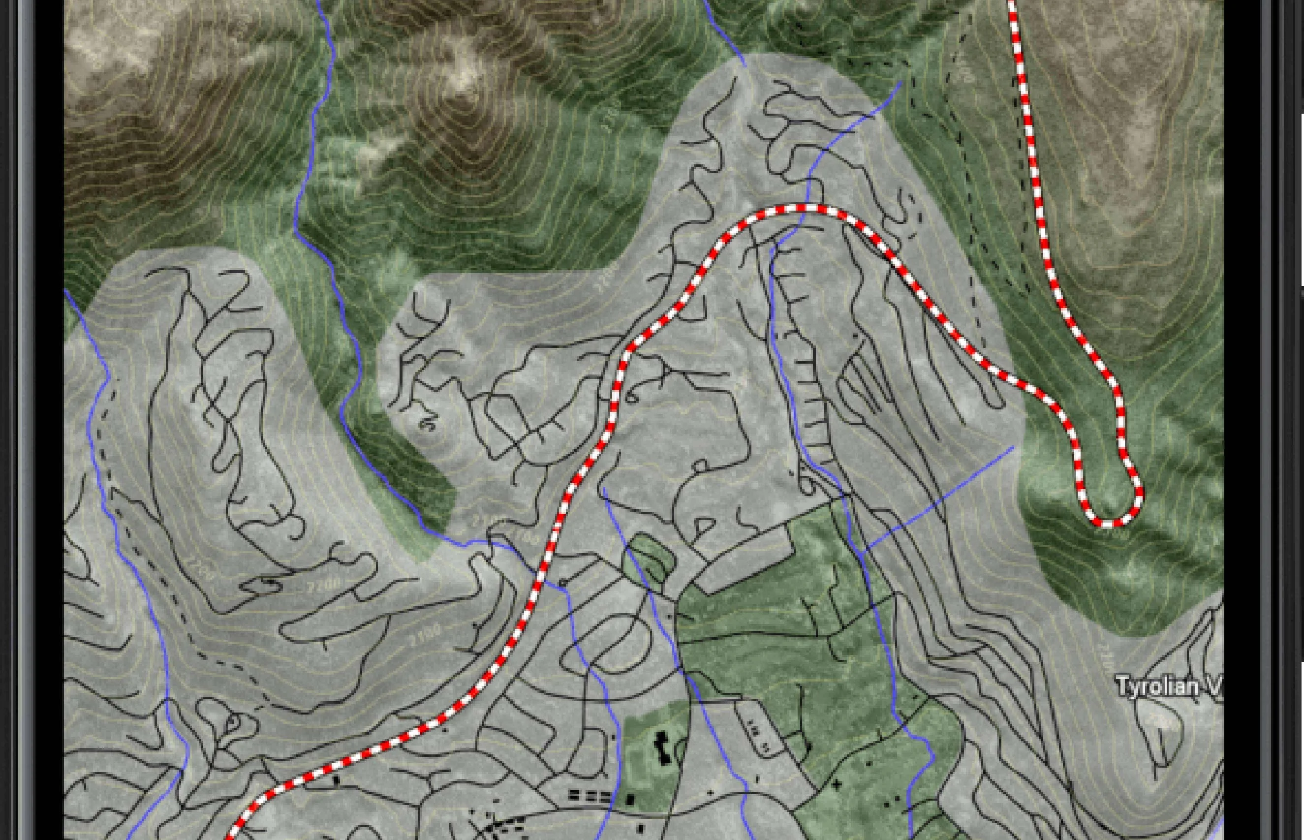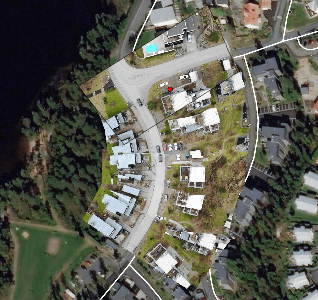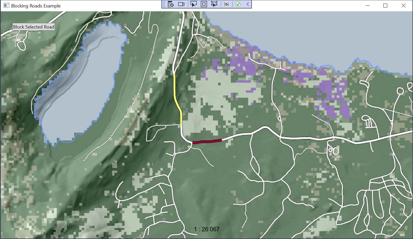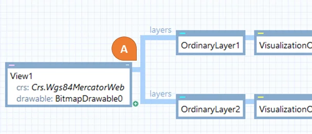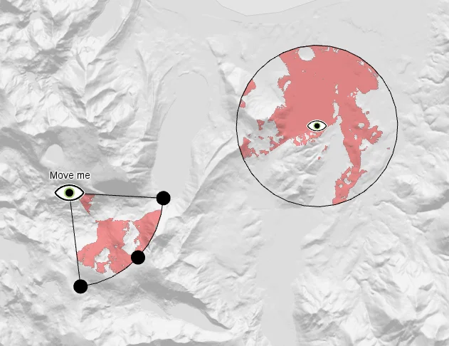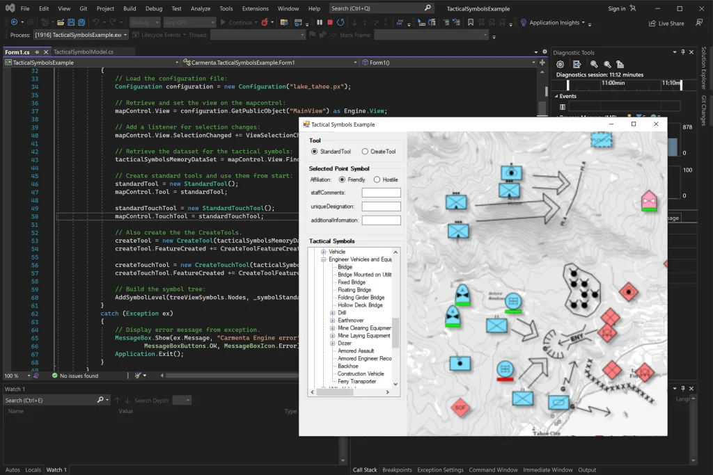
Advanced Routing for Uncrewed Systems
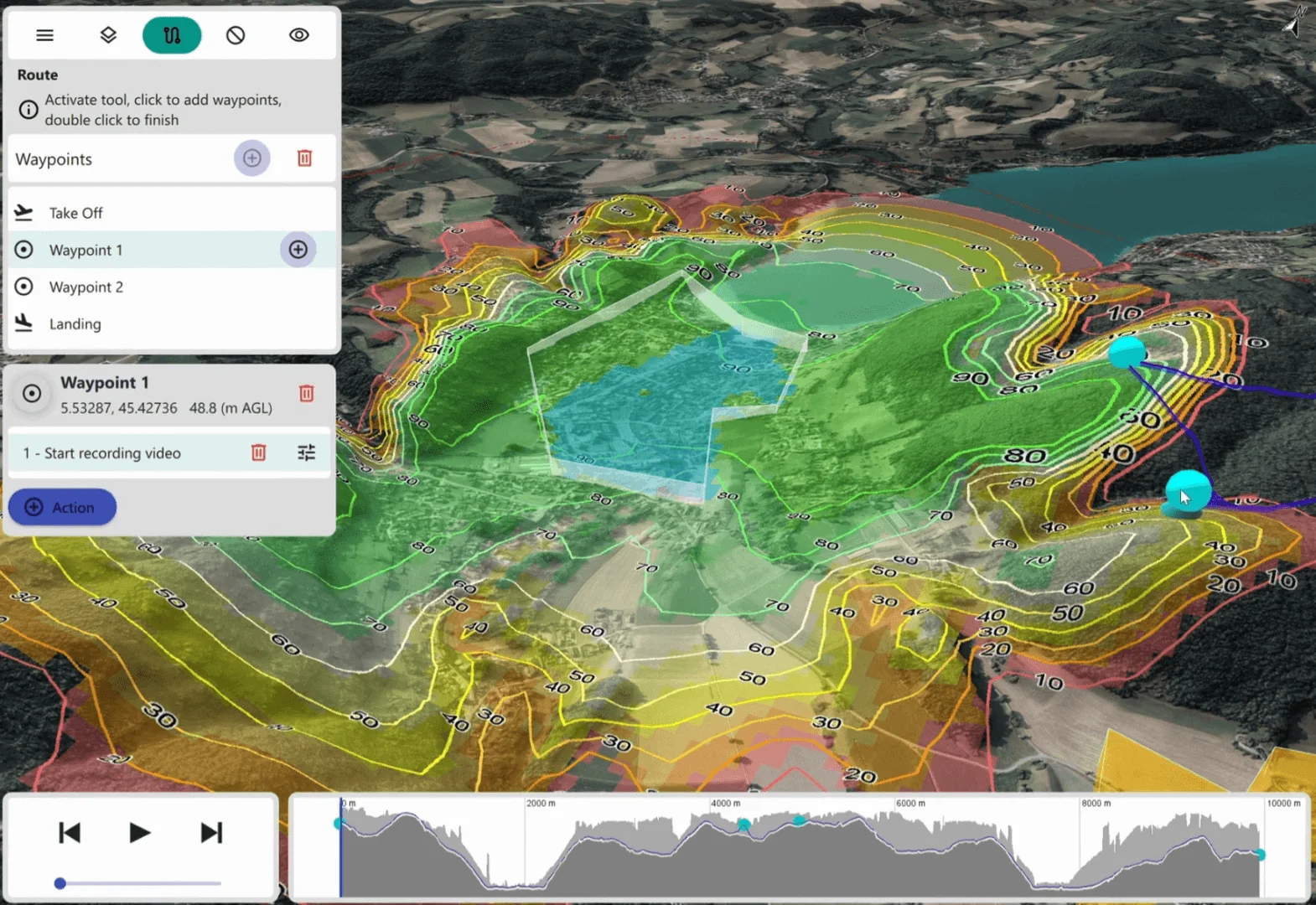
Discover Carmenta Engine's advanced routing capabilities for UAV and UGV mission planning, through the AirRouteOperator and TerrainRouteOperator. The article introduces concepts used in Carmenta UAS Mission Kit.
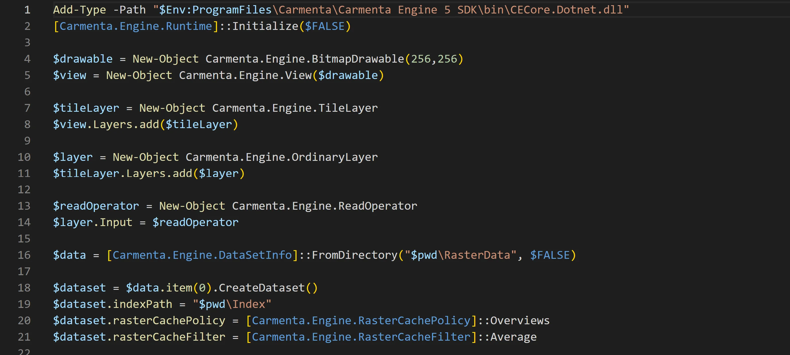
Read more